Difficulty: BEGINNER-INTERMEDIATE
Time: 3-4 HOURS (4-5 with Pupukea Lookout)
Distance: 6 MILES for Kaunala, 9 MILES w/Pupukea
Elevation Gain: 600 FEET Kaunala, 900 FEET Pupukea
Foot Traffic: LOW
Challenges: Muddy, Overgrown on Pupukea
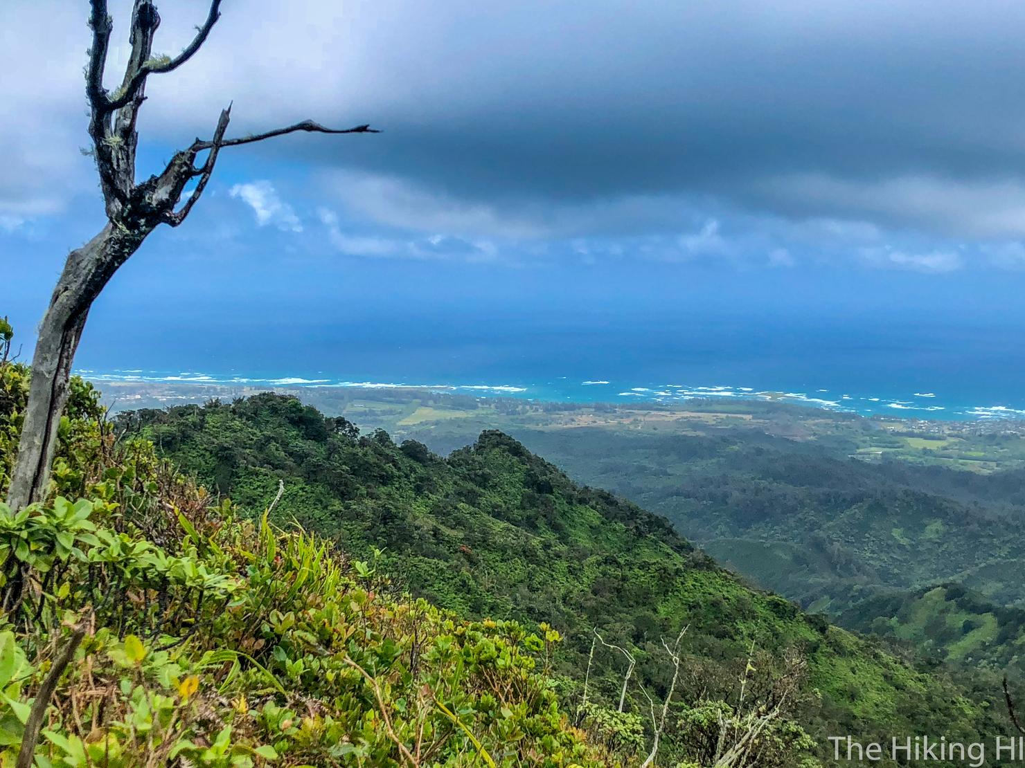
Sights: North Shore, Windward Coast
What to Bring: Water, Snack, Shoes to get Muddy
This hike combines two trails on the North Shore, the Kaunala Loop Trail and the Pupukea Summit Trail. The Kaunala Loop is a graded ridge full of switchbacks, giving you periodic views of the valley as well as the beautiful North Shore. The Pupukea Summit Trail begins on a closed access road, before splitting off into the trees. You will have to navigate your way around some mud and through some brush but eventually you will reach the trail's terminus marked by a lookout of the Windward Coast. But more importantly, the end of Pupukea indicates the start of the Ko'olau Summit Trail (KST), the trail that reaches from that point 50+ miles all the way to the southern tip of Oahu.
I haven't done much North Shore hiking and it's not for lack of trying. There just aren't that many hikes on Oahu's northern coast. There's still some great hikes, such as Kealia Trail and the Sunset Pillbox Hike (and if you count Kaena Point), but there's nowhere near the quantity that are located elsewhere on the island. Despite the lack of quantity, there is something very unique about the North Shore trails. This is where the Ko'olau Mountain Range begins. More specifically, this area marks the beginning of the Ko'olau Summit Trail (KST), the ungraded, unmaintained 50+ mile ridge that extends from the North Shore of Oahu to the southern tip at Makapu'u.
Hiking the entirety of the KST in one go without assistance was only recently accomplished. The first person to document it, was Chase Norton, who completed the feat in 8 days. Since then many others have attempted the feat, but only a few have been successful. The reason is simply the nature of the beast, the Ko'olau Mountain Range. The ridges are overgrown and narrow, there are intense free climbs on crumbling rock, the weather is unpredictable and violent and on top of it all, you have to do it with a heavy pack on your back.
I haven't hiked any significant part of the KST. The most I traversed was when I hiked from the Pali Lookout down Manoa Middle Ridge. But the idea of being able to traverse an entire island on one single ridge is quite intriguing. It is this curiosity that led me to the Pupukea-Kaunala trail, at the very least so I could get to see where it all begins.
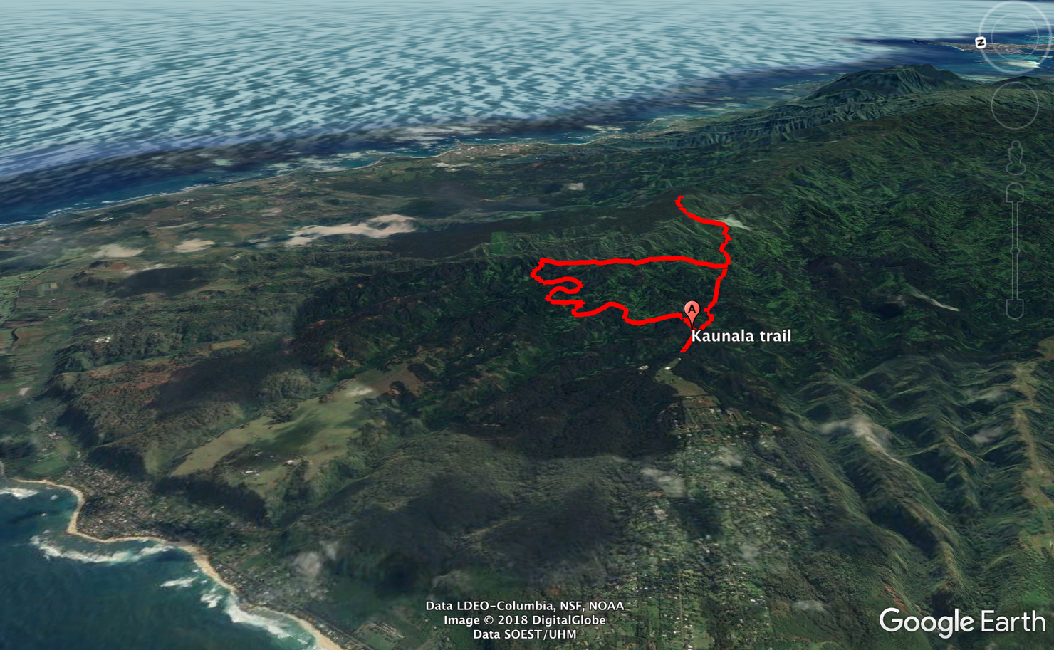
Here's the loop I took. It begins along the closed Pa'ala'a Uka Pupukea Road. The left fork will take you through the graded Kaunala ridge, which is basically a bunch of switchbacks through the trees with periodic lookout points. Kaunala Loop meets back up with Pupukea on that initial road. If you are going to the lookout, you will follow the road before splitting off into the trees. After some minor bushwacking you will reach the Pupukea Lookout and the start of the KST.
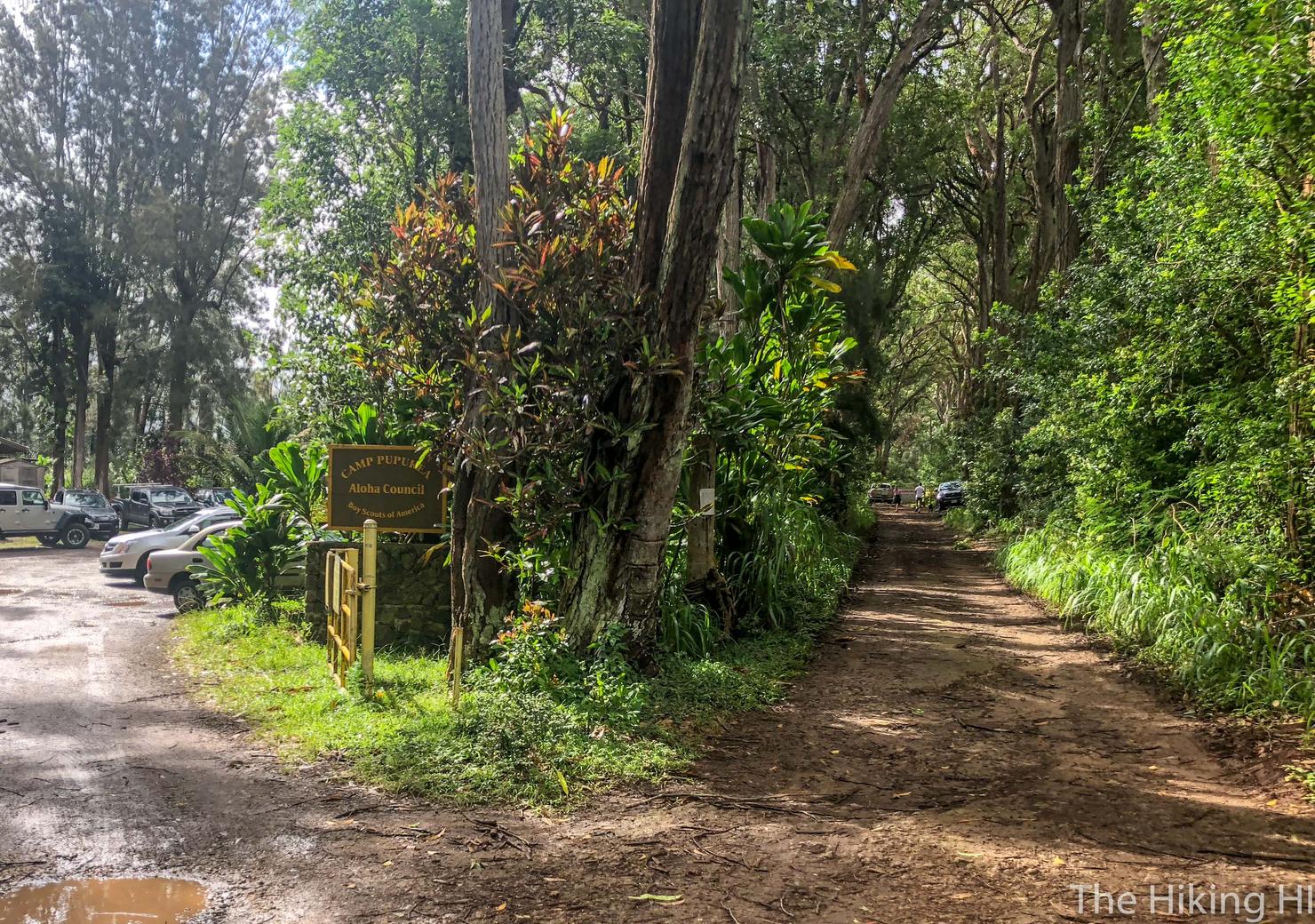
The trailhead is located right next to Camp Pupukea at the end of Pupukea Road. You can park on the side of the road. The trail begins on this dirt road to the right.
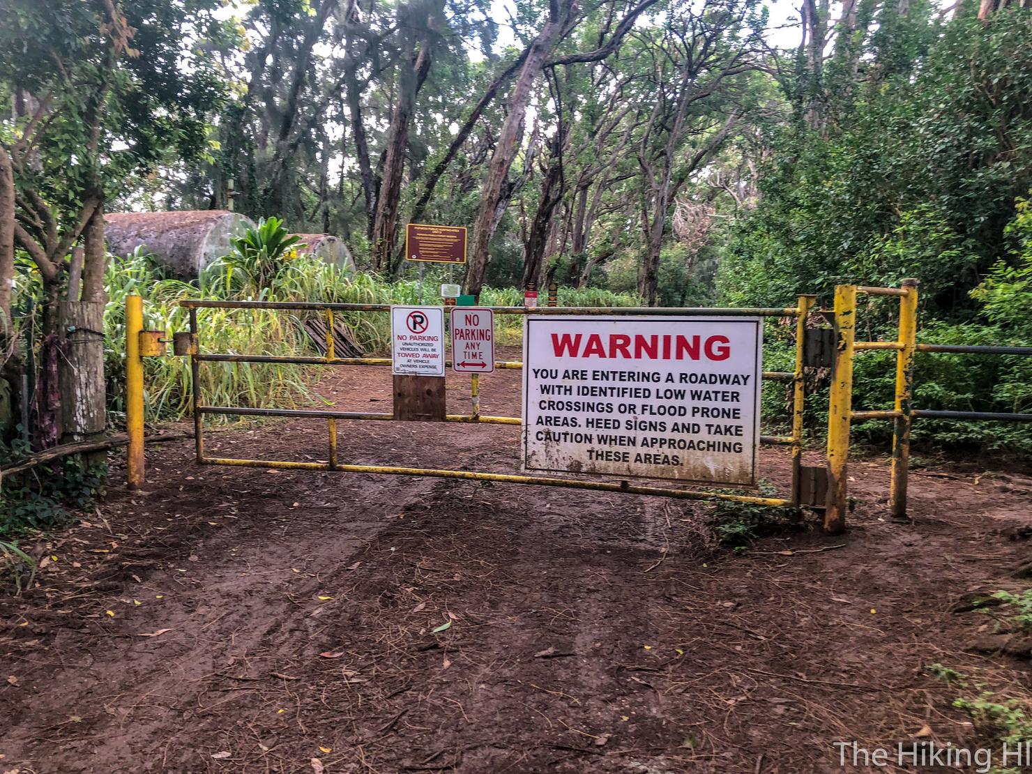
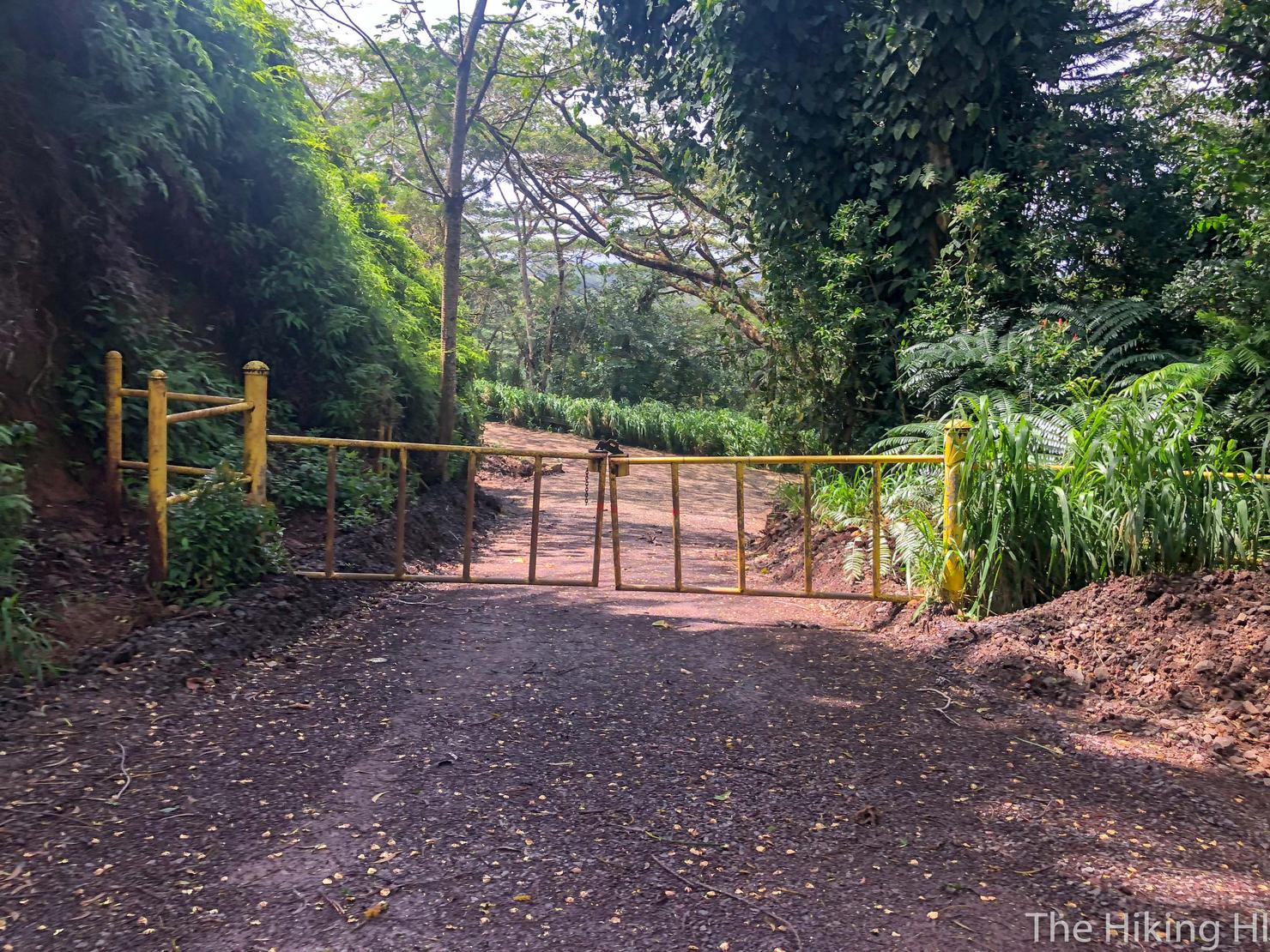
We just need to get under (or over) this here gate. Don't worry all those signs don't apply to us as hikers.
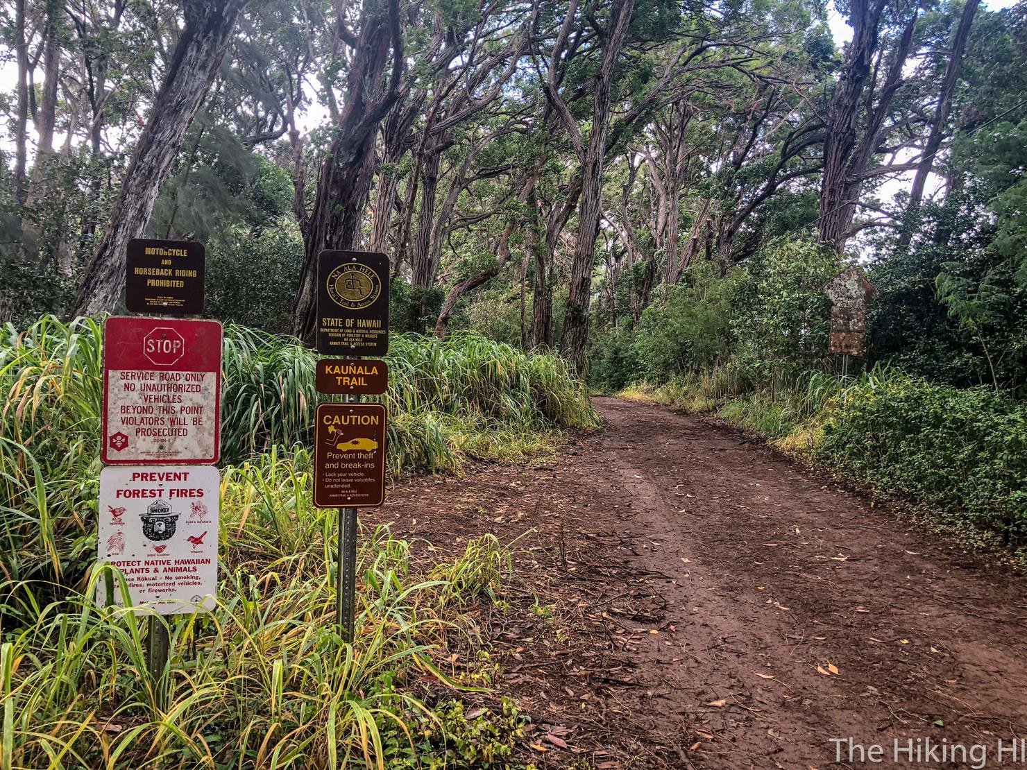
This is actually a sanctioned trail. Let's hike!
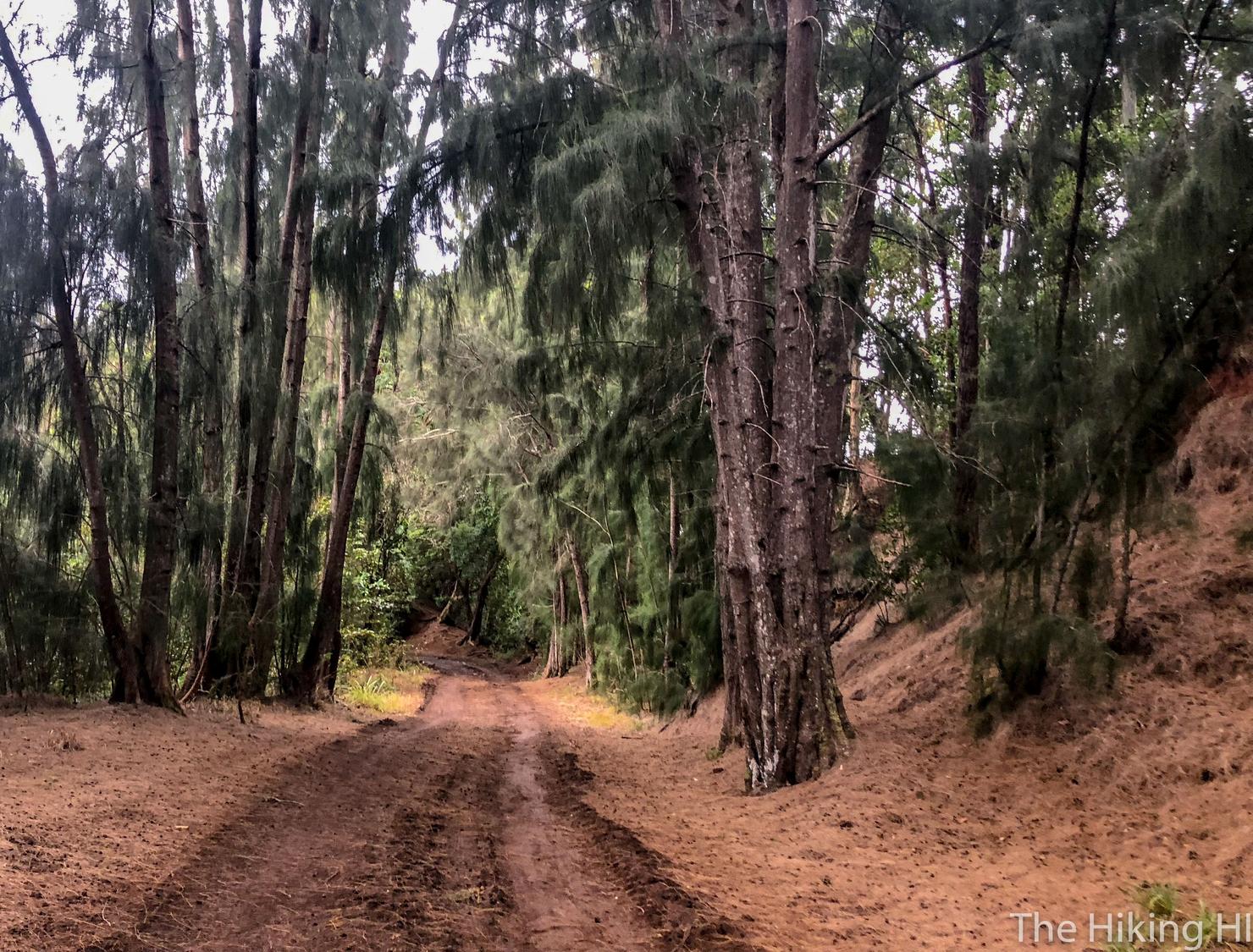
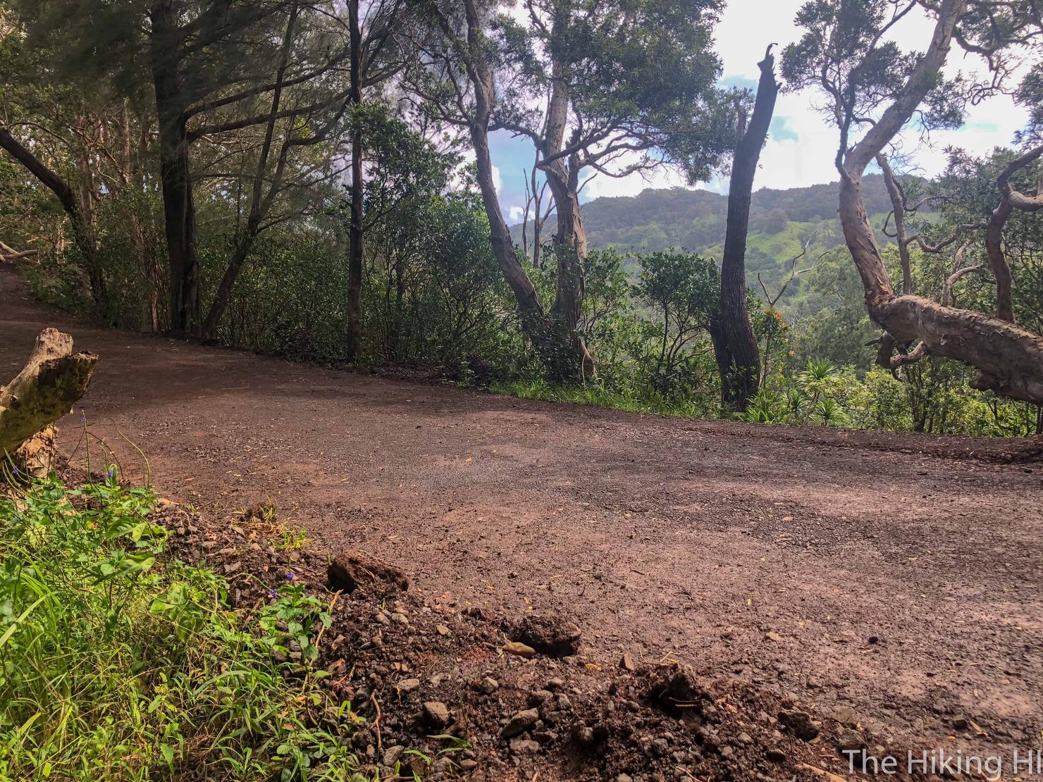
The first 10 minutes of this hike are along this dirt road in the trees. Not much to it except avoiding the mud.
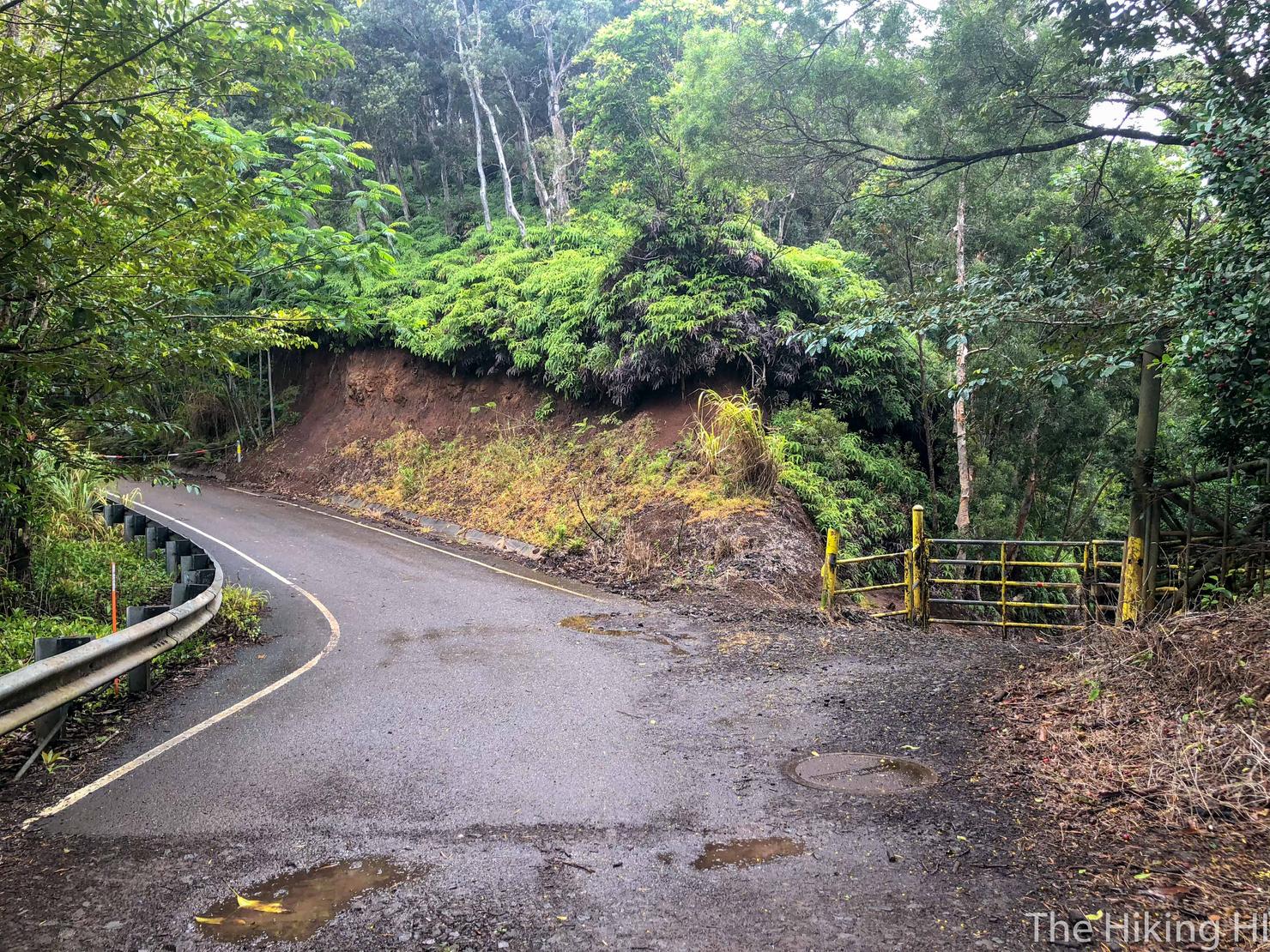
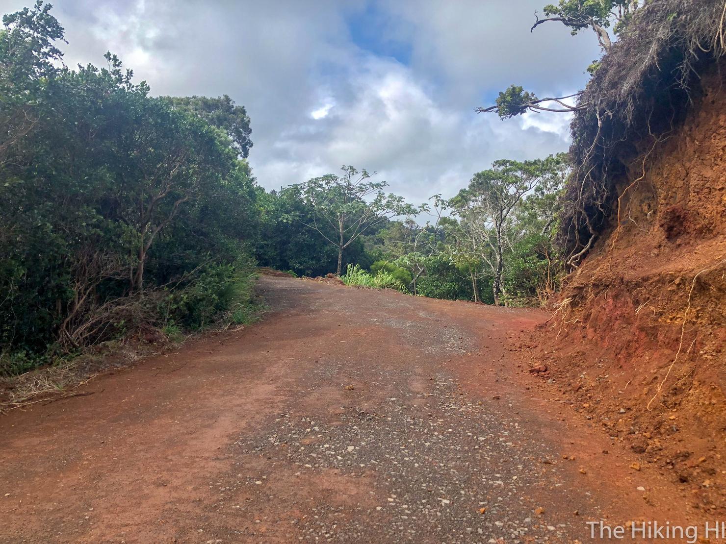
The dirt road then changes to asphalt. This road is what makes up the bulk of the Pupukea part of this hike. Follow the bend around to the left.
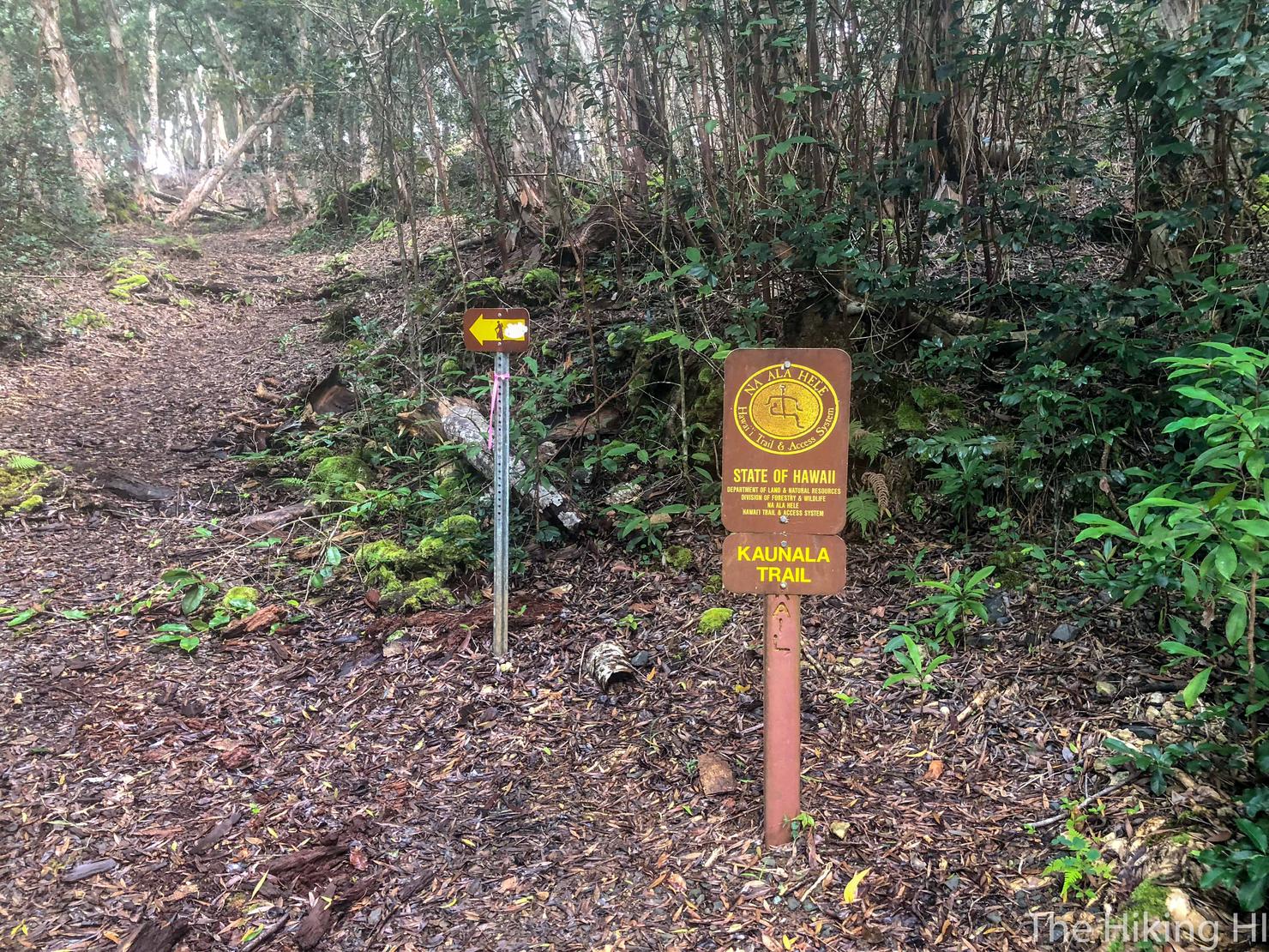
And a few moments later you should see this sign at the entrance to the trees. This is where we will head to Kaunala. You could continue along the road to make your way to Pupukea more quickly, but I'll be honest, the road isn't very exciting. Besides, we will get to experience it on our return trip.
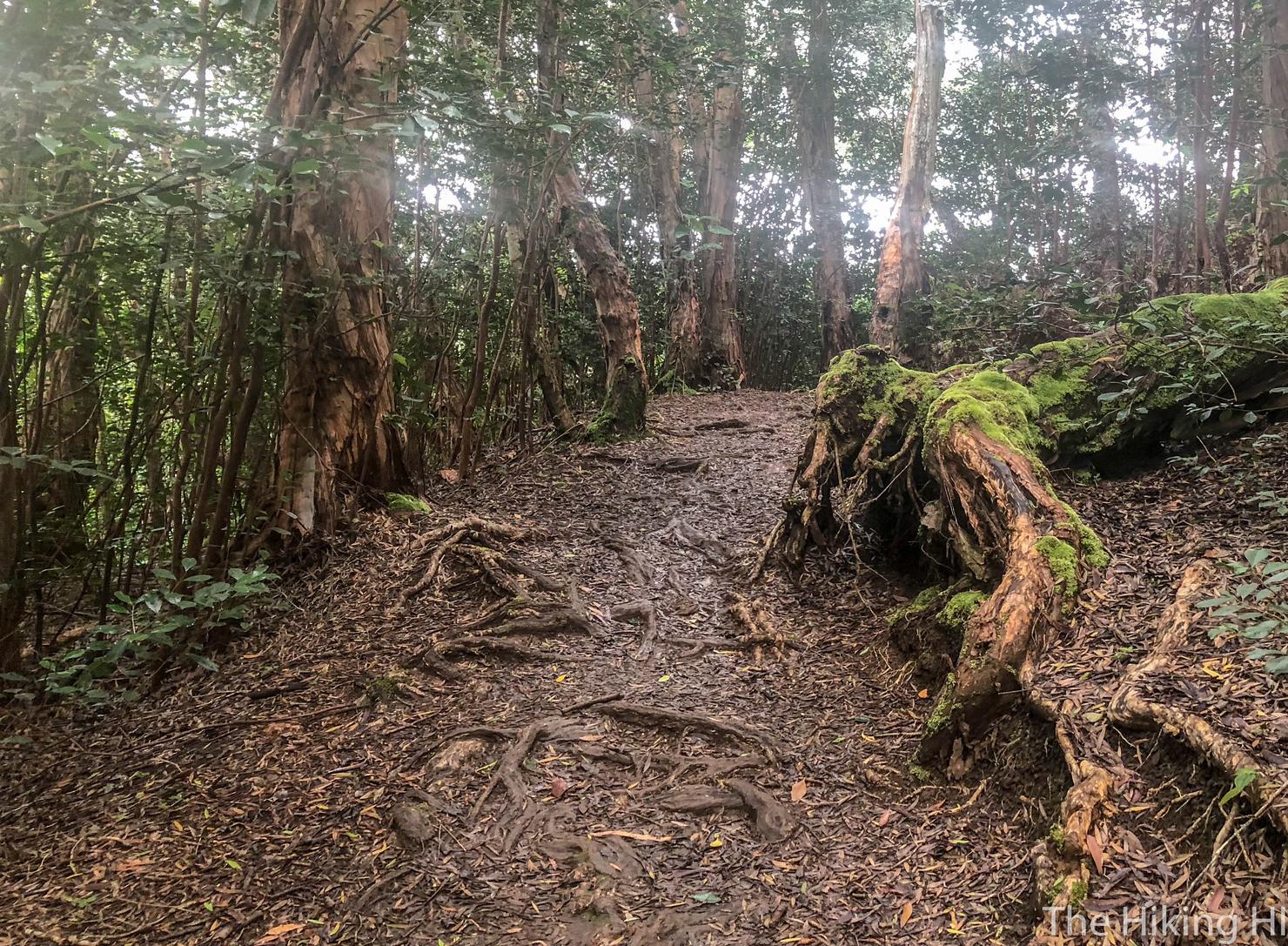
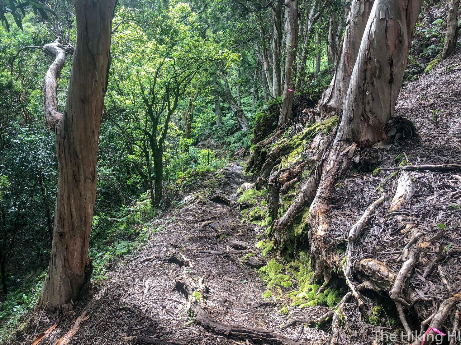
The trail is what you expect from a graded ridge, shaded and a little damp. It was a blustery day on the North Shore, so the wind that squeezed through the trees felt nice and cool on my skin.
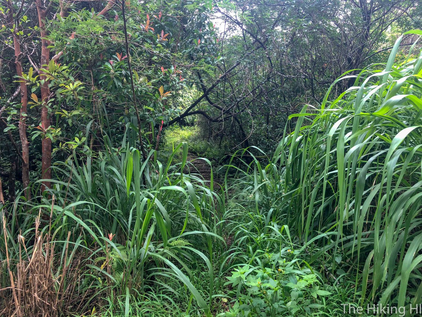
The trail is well marked and follows a series of switchbacks through the valley. It has periods of lush green vegetation that line the trail.
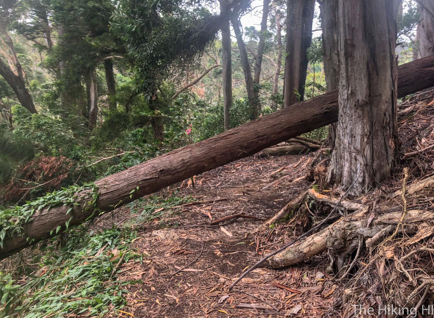
As well as a few fallen trees you will have to circumvent.
But overall there's not much to this hike. If you've ever done Aiea Loop Trail, it feels a lot like that. This was the only potential place you could make an error. It looks like the trail continues left and uphill.
However, the correct path is actually to your right and downhill. Refer to the AllTrails track if think you've gotten turned around.
However, if you do happen to go left, you will be greeted with this nice lookout of the valley. The wind was so strong it was almost hard to enjoy the views. I kind of doubt today we will be able to fly the drone today :(
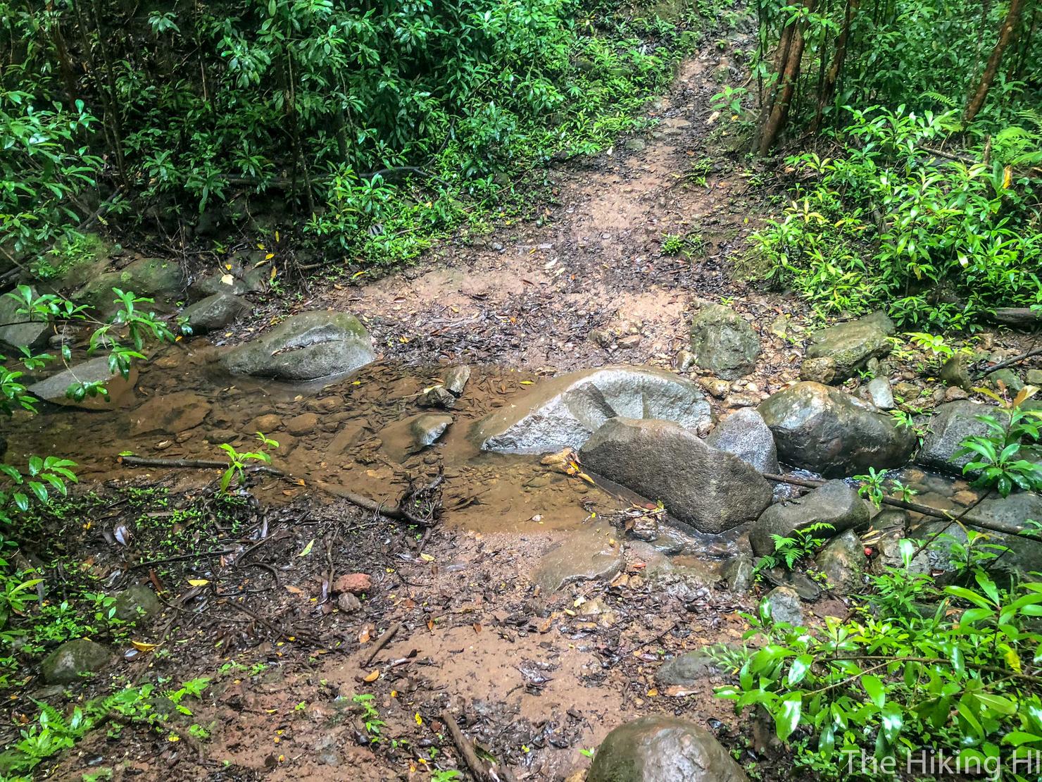
Back to the trail. There were a couple "stream" crossings like this once. Despite the amount of rain we'd gotten, I'd expected this hike to be a lot muddier. The mud decided to appear later on in the hike.
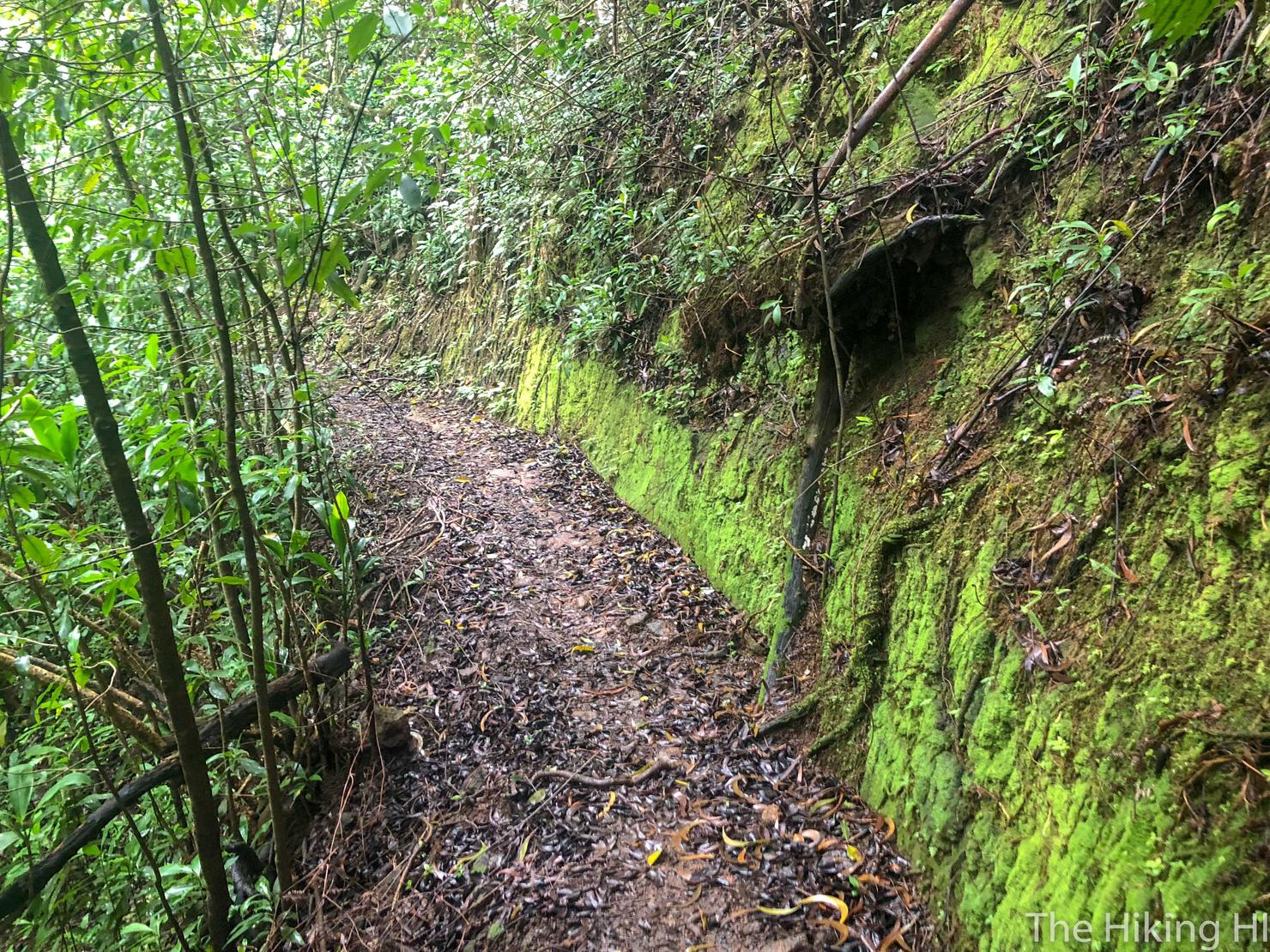
I loved the look of this green moss marking my path.
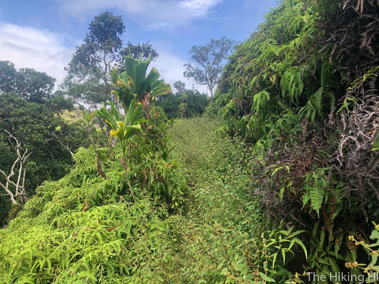
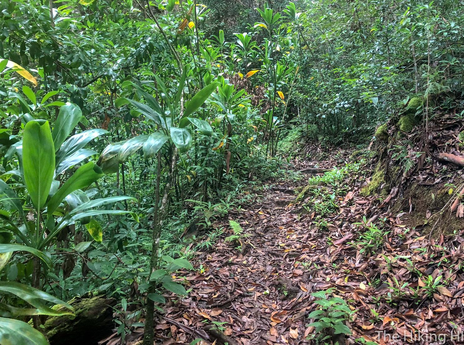
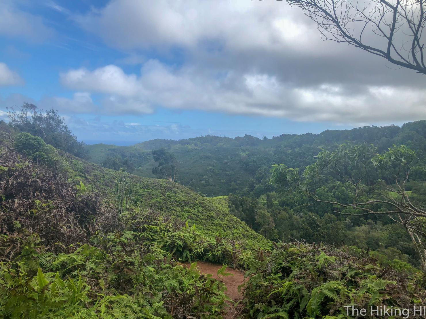
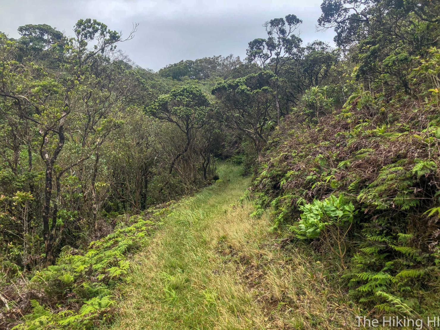
The terrain of the trail varies periodically from the trees to these more open grassy sections.
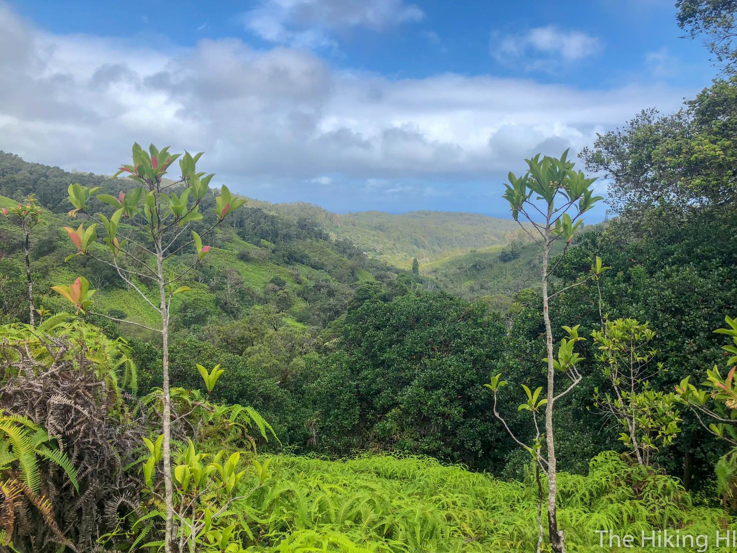
And with those open sections come more valley views.
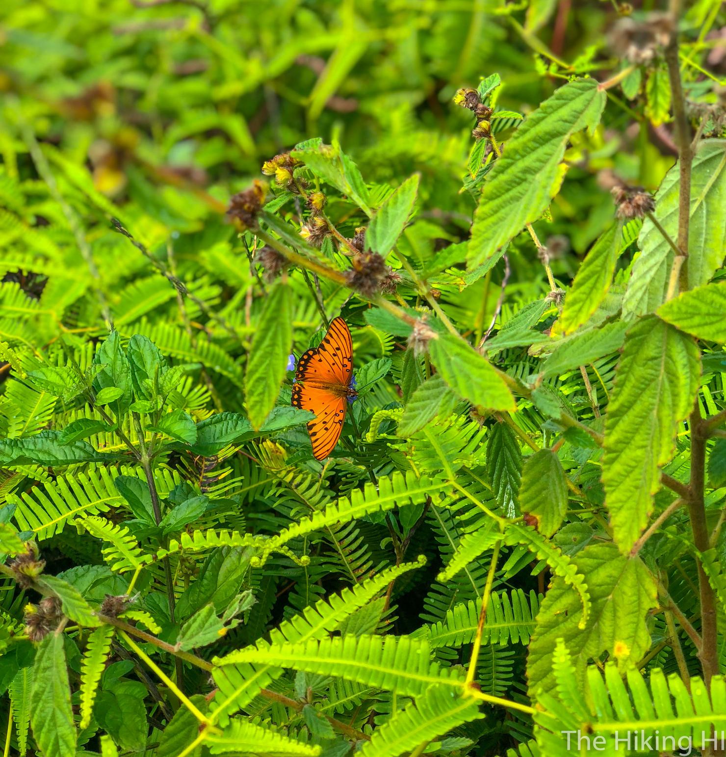
And maybe even some wildlife.
After about 1.25 hours of hiking, I intersected with another road. Go RIGHT to continue the loop.
The road is a nice break from the trail, but it is not without it's elevation gain. This would make for a great trail running route.
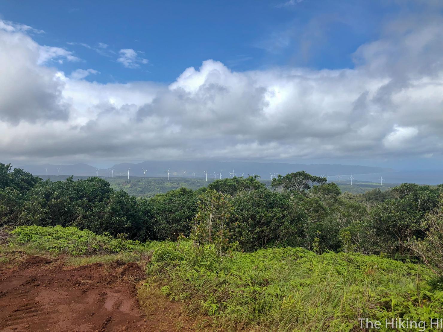
At some point along the road you will get a nice view of the the North Shore coastline. Unfortunately, my camera's quality and the overcast day didn't make for a great shot, but it's a nice view in person. This is the most scenic part of the Kaunala portion of the trail.
After the lookout you will reach another gate. Luckily there's a path around this gate, no squeezing necessary. Just beyond this gate is the road we began our hike on, which completes the Kaunala Loop. If you wish to return to the start, take a RIGHT at the road. If you wish to take a look at the Pupukea Summit Trail, head LEFT (sounds like one of those choose your own adventure books).
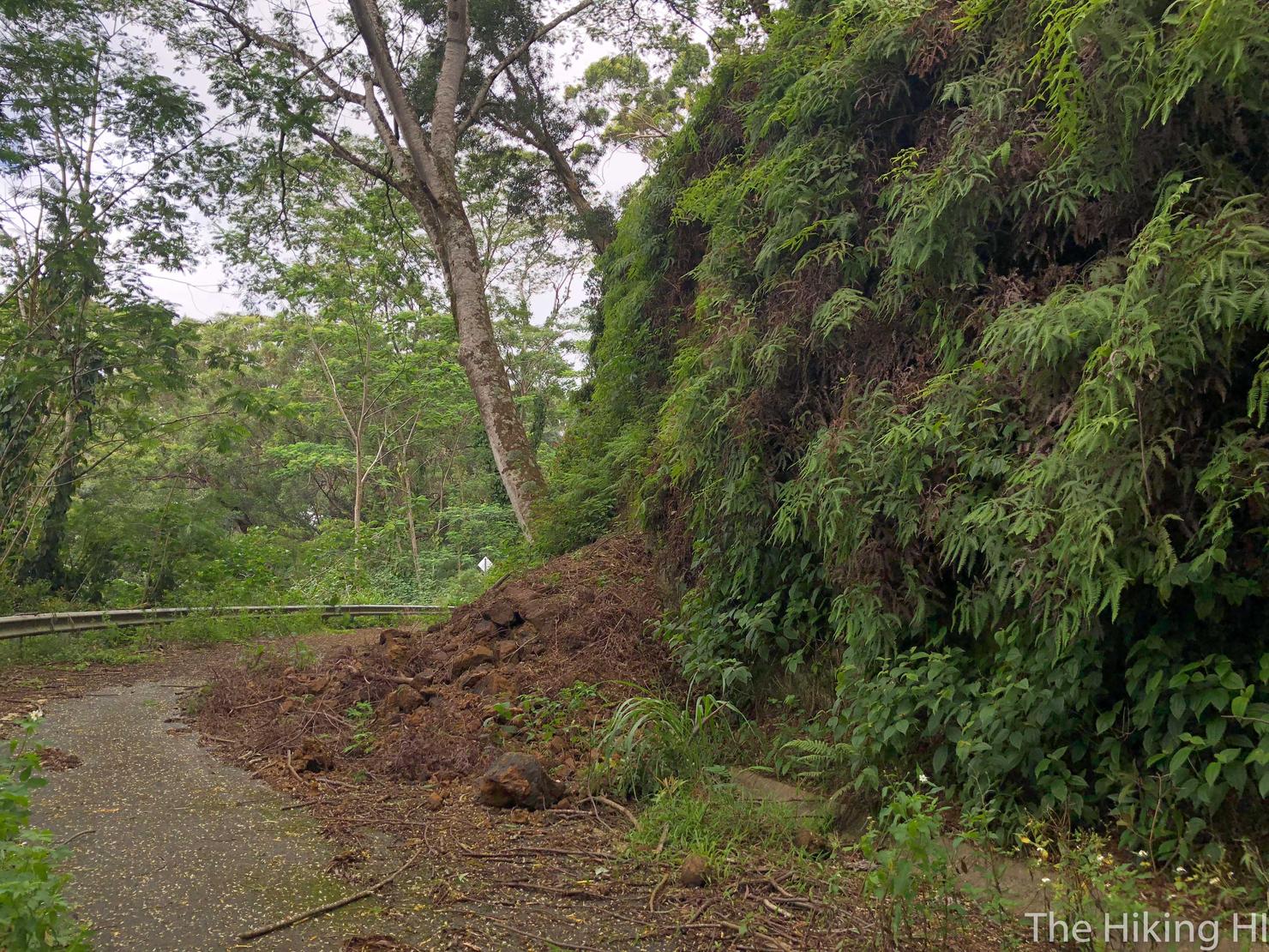
I decided to include a few shots from that closed road portion, since I found them interesting. Here we have some clearl evidence of a rock slide.
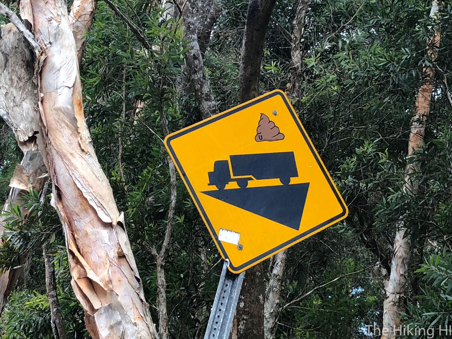
And this emoji street sign which made me chuckle.
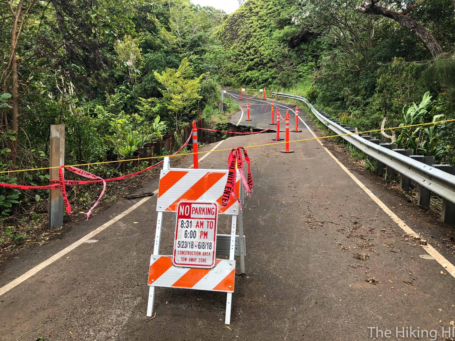
But the most exciting part of the road is this section, clearly the reason this road is no longer usable. I find that sign quite interesting. Not sure how anyone would get their car up here, nor why they would be parking it. Also 8:31? I live my life in multiples of 10.
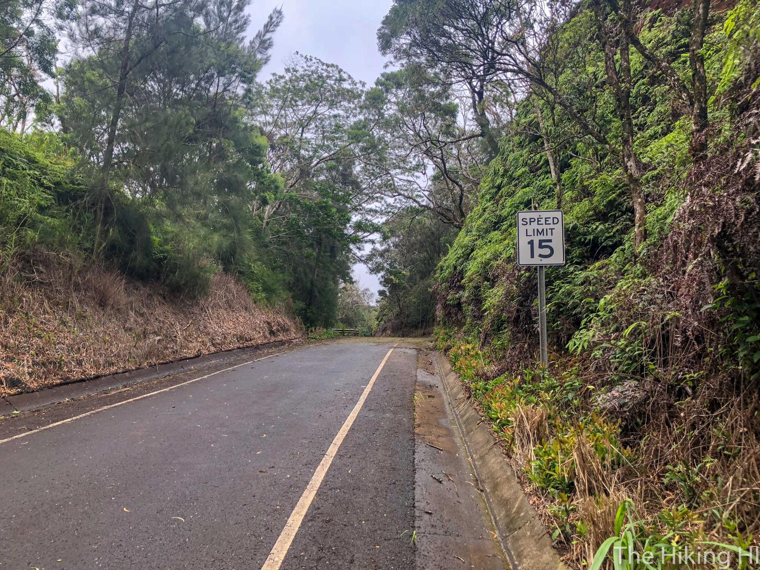
Anyway back to the path to the Pupukea Summit. Initially, you will simply be walking along the road. Make sure you adhere to that speed limit, don't want to get a ticket! ;)
After 15 minutes you will this sign which has orange ribbon attached to it. This is where the Summit Trail stems from.
Just off the road, this is the path you should see. It is marked by pink ribbon.
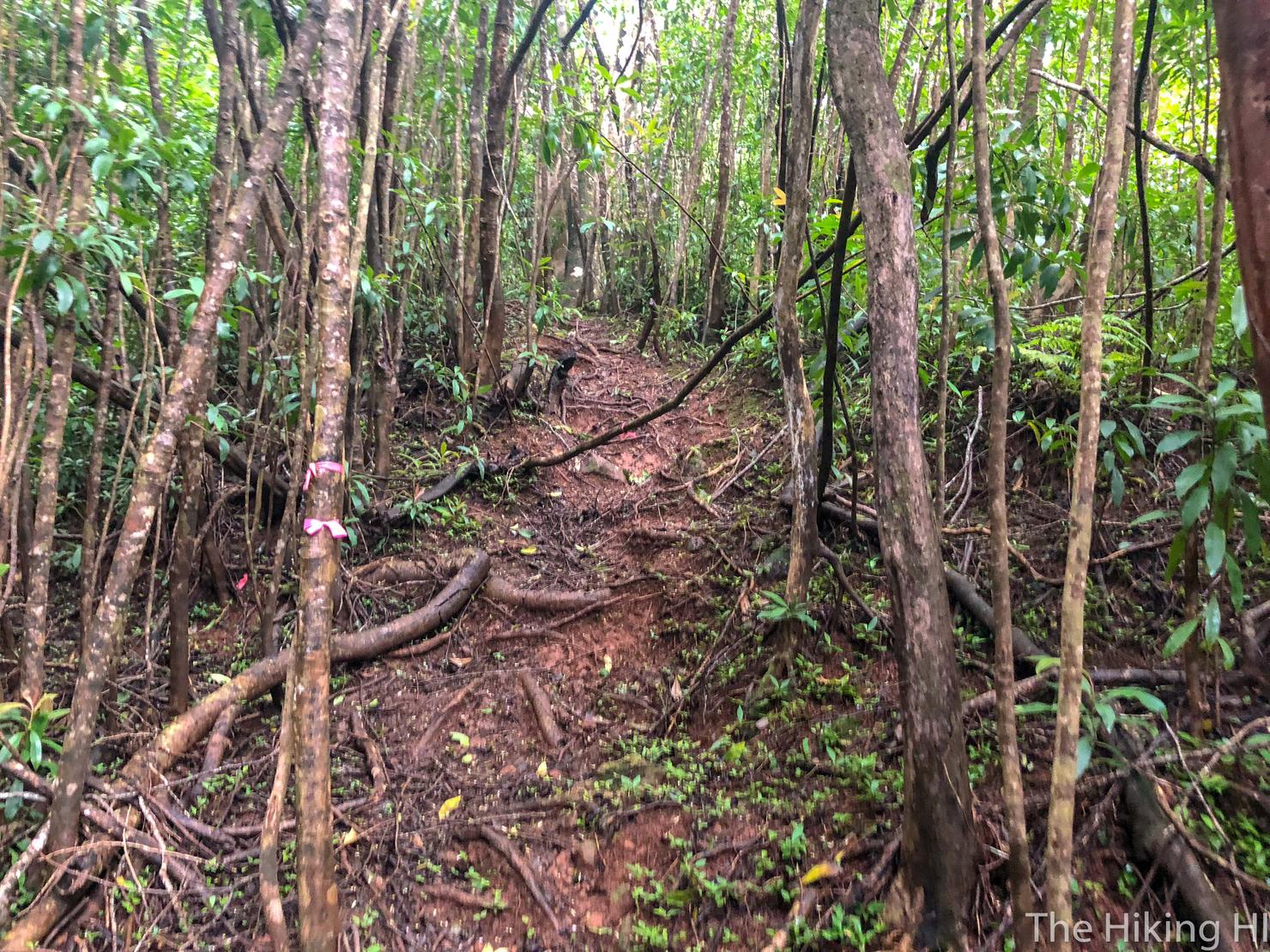
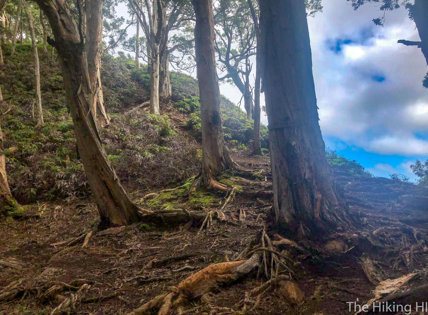
From here it resembles the initial terrain. It's a little bit muddy and slippery.
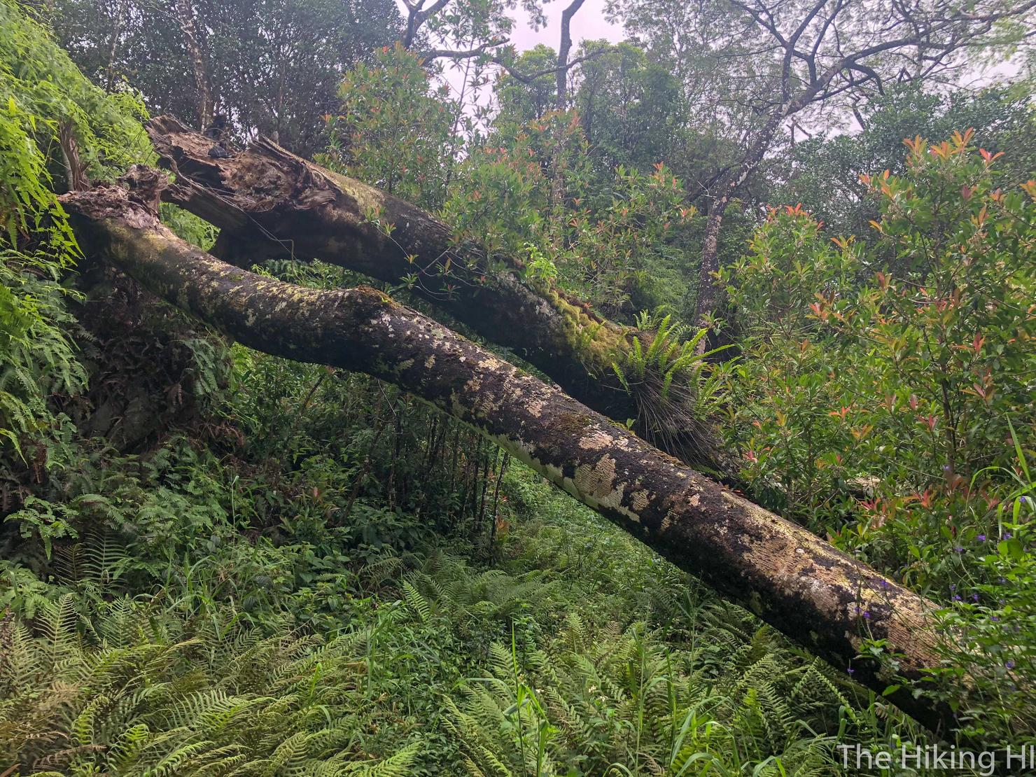
And you will have to navigate around another tree.
And some grassy (and also muddy) terrain mixed in.
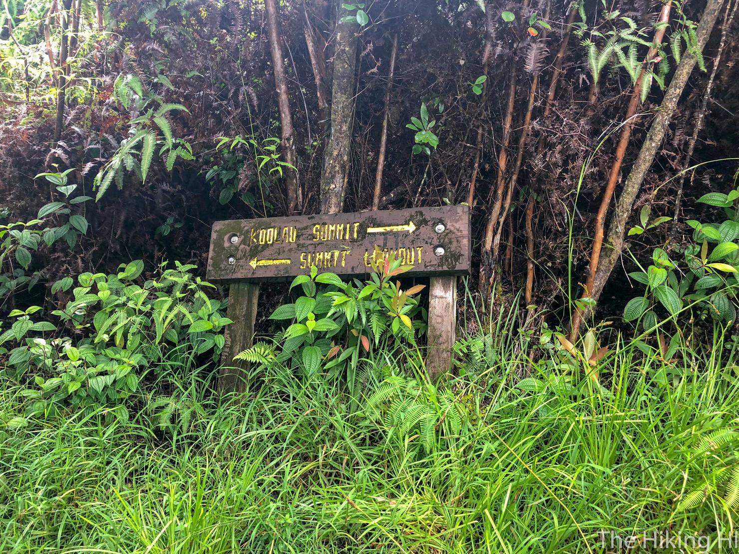
But after 15ish minutes, you will have reached this sign. This location marks the beginning of the KST. To get to the lookout, you will have to hike another few minutes to the left, which I did.
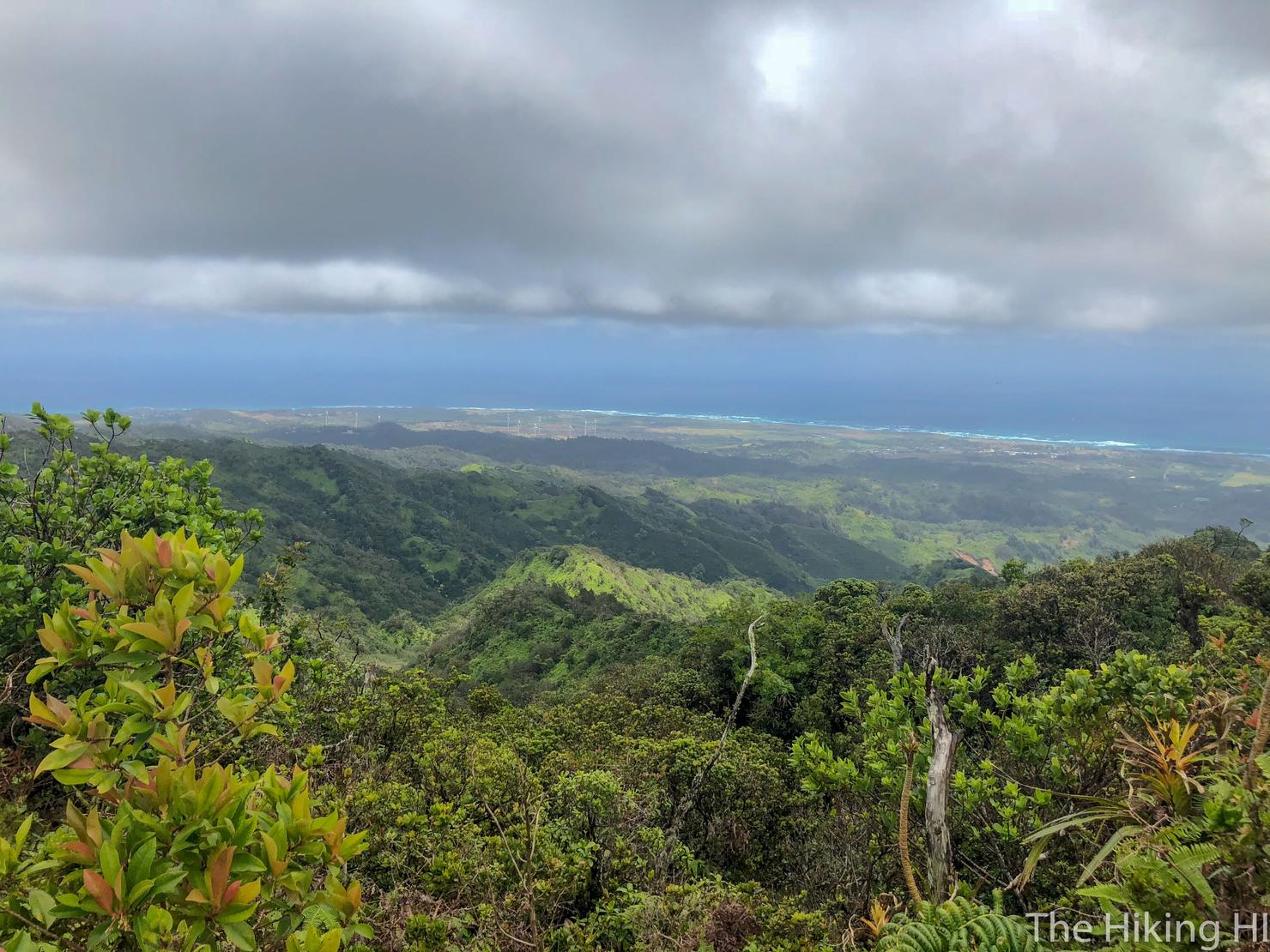
While the views weren't stellar given the overcast skies, I felt a great sense of calm over me as I stared out into the ocean, the wind whipping through my hair.
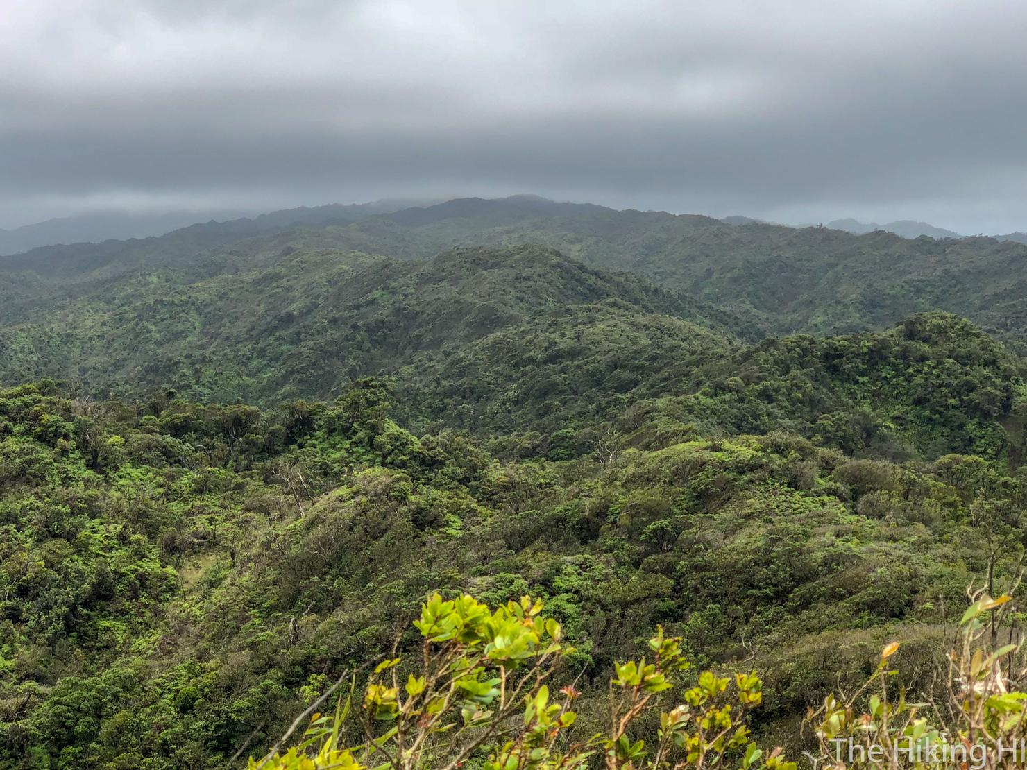
And as I turned to my right, I gazed at the cloud covered Ko'olaus. Thinking that it is possible to take this trail all the way to the southern point of Oahu amazes me. And to think it has only been conquered recently is more amazing. Deciding to attempt something so risky, that so few have conquered, is just so alluring.
I gave one last look at the ocean before deciding to make my way back home. I sort of doubted I would return to this trail. Unless. Unless I give the KST traverse hike a try. I know I'm nowhere near ready for it yet. But you gotta dream it to achieve it right?