Difficulty: BEGINNER
Time: 2-3 HOURS
Distance: 4.8 MILES
Elevation Gain: 850 FEET
Foot Traffic: MODERATE
Challenges: Potentially muddy
Sights: Ko'olau Range, H3 Highway, Waianae Range
What to Bring: Snack, Water
Aiea Loop Trail feels like traditional mainland hiking, with a well defined trail that contours through the trees, just below the ridgeline. It is not without the typical Hawaii challenges (Mud!), and you will also get some great views, including a unique perspective of the H3 Highway. A pleasant hike for those looking to move their legs in nature.
It had been a week of varying emotions. On one hand, I found out that I had gotten a new job that would keep me on the island for a few more years. I couldn't be more stoked. I've always felt like I was living here on borrowed time, so to get this new job meant I had the time to knock out all those items on my ever-growing Hawaii bucket list. On the other hand, my alma mater's basketball team, the University of Virginia Cavaliers, on the cusp of being the number 1 team in the country for the first time in 35 years, lost to our rival, Virginia Tech, in a nail biter of a game (Ok I realize it's just basketball, but we Wahoos are serious about it!)
Needless to say, with these mixed emotions, I needed to get outside to recenter myself. I was looking for a casual hike that I could zone out vice worrying about navigating a treacherous ridge (i.e. last week's Bolohead Ridge). I settled on the Aiea Loop Trail.
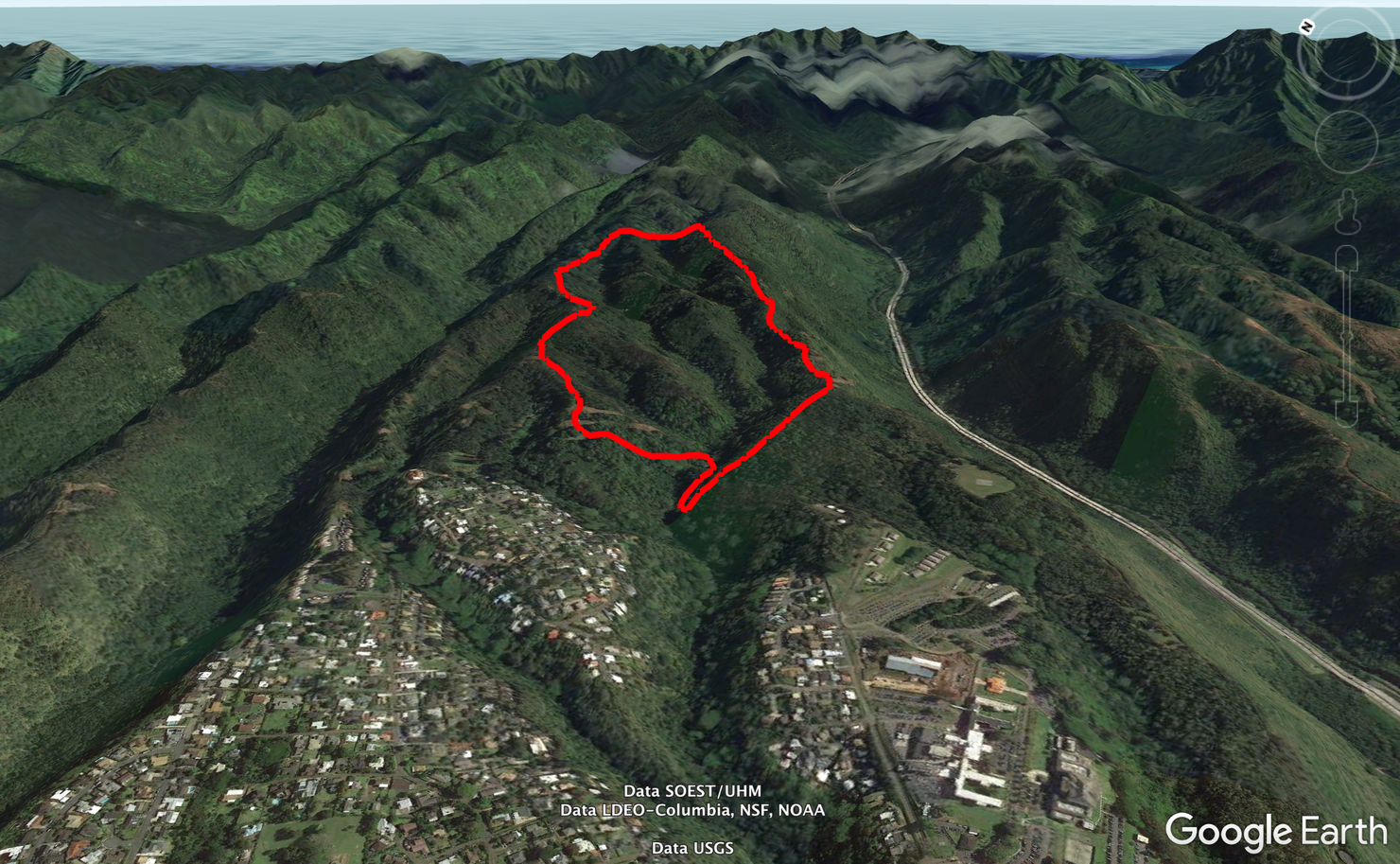
A sketch of the hike. Pretty straightforward and (almost) impossible to get lost. The only major obstacle is ensuring you get your car out of the park by 6:45pm or it will get locked in.
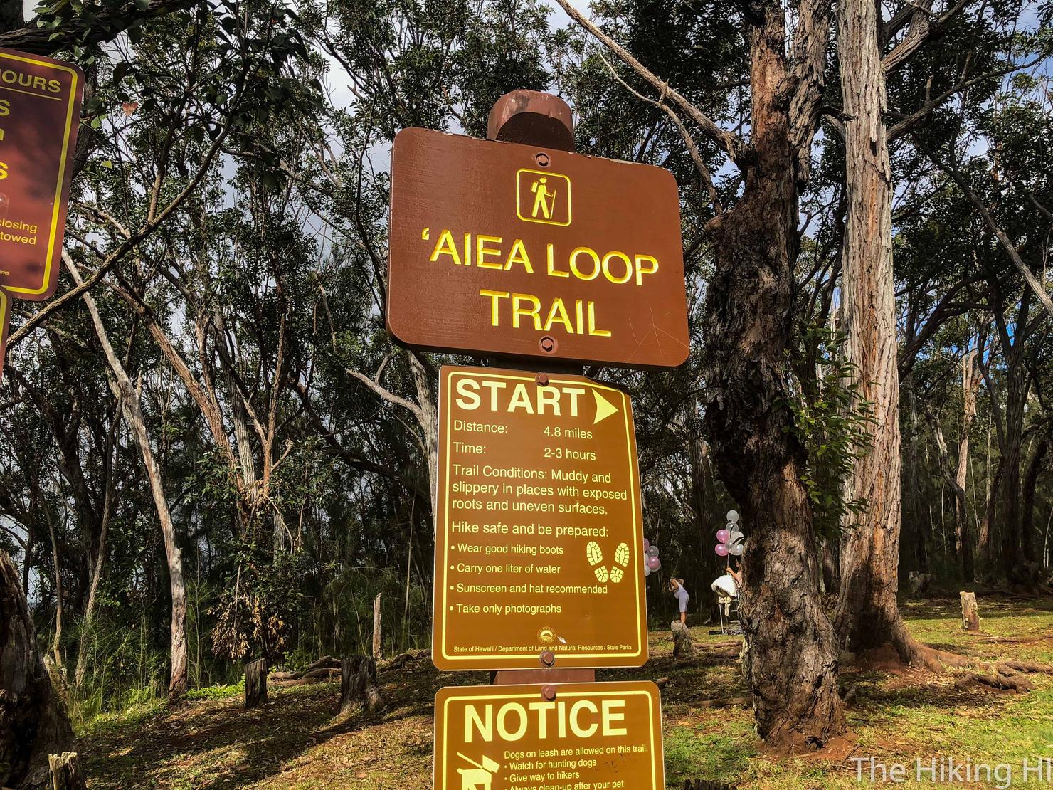
The trailhead is located up a large hill at the very top of the park. This sign gives you the stats and even some tips for the hike. Guess we won't need my blog after all..
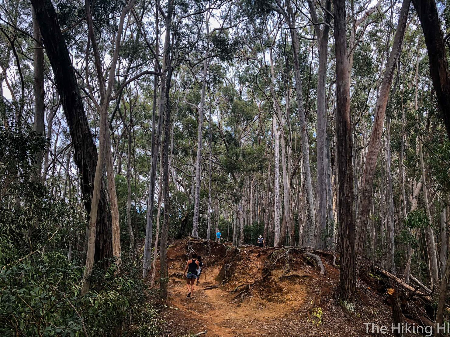
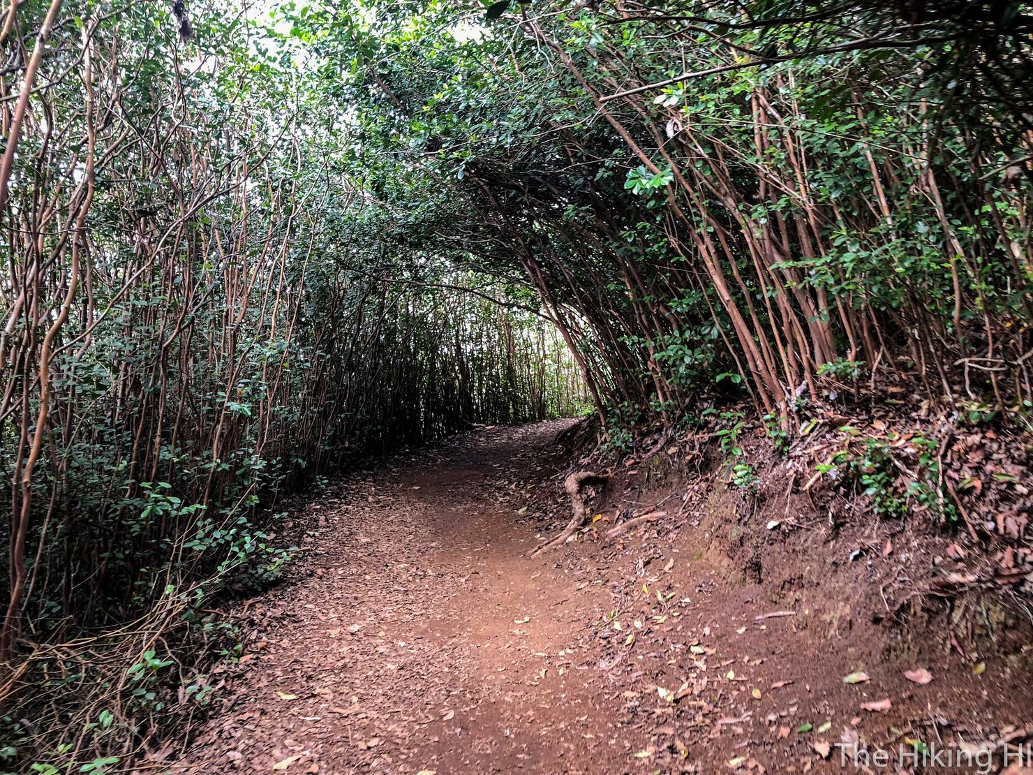
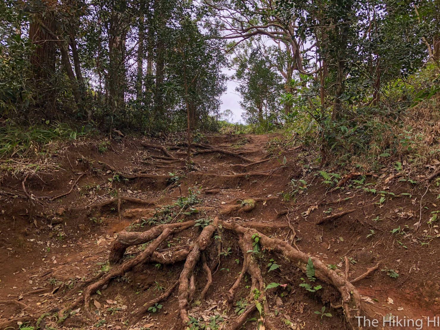
But I will still cover it because well, I enjoy it. This hike is almost entirely in the trees. But that doesn't mean it can't be enjoyable.
Like I said, this hike is for contemplation.
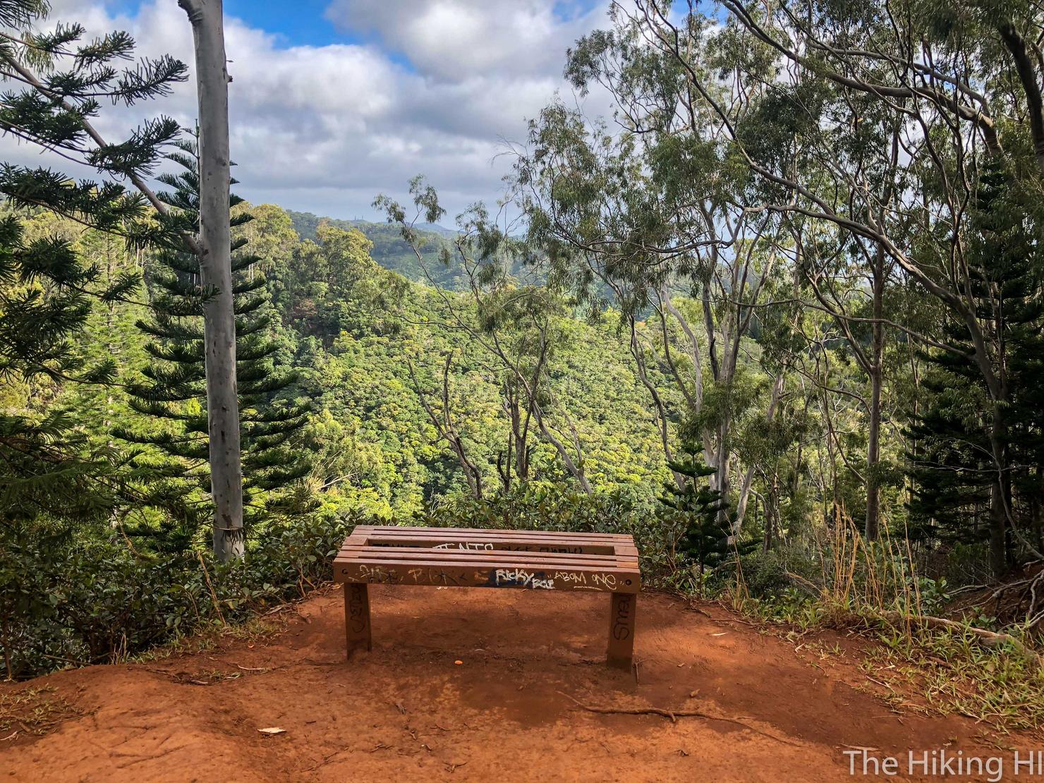
And there's even some periodic benches placed along the path in case you want to sit and contemplate (or if you want to just sit).
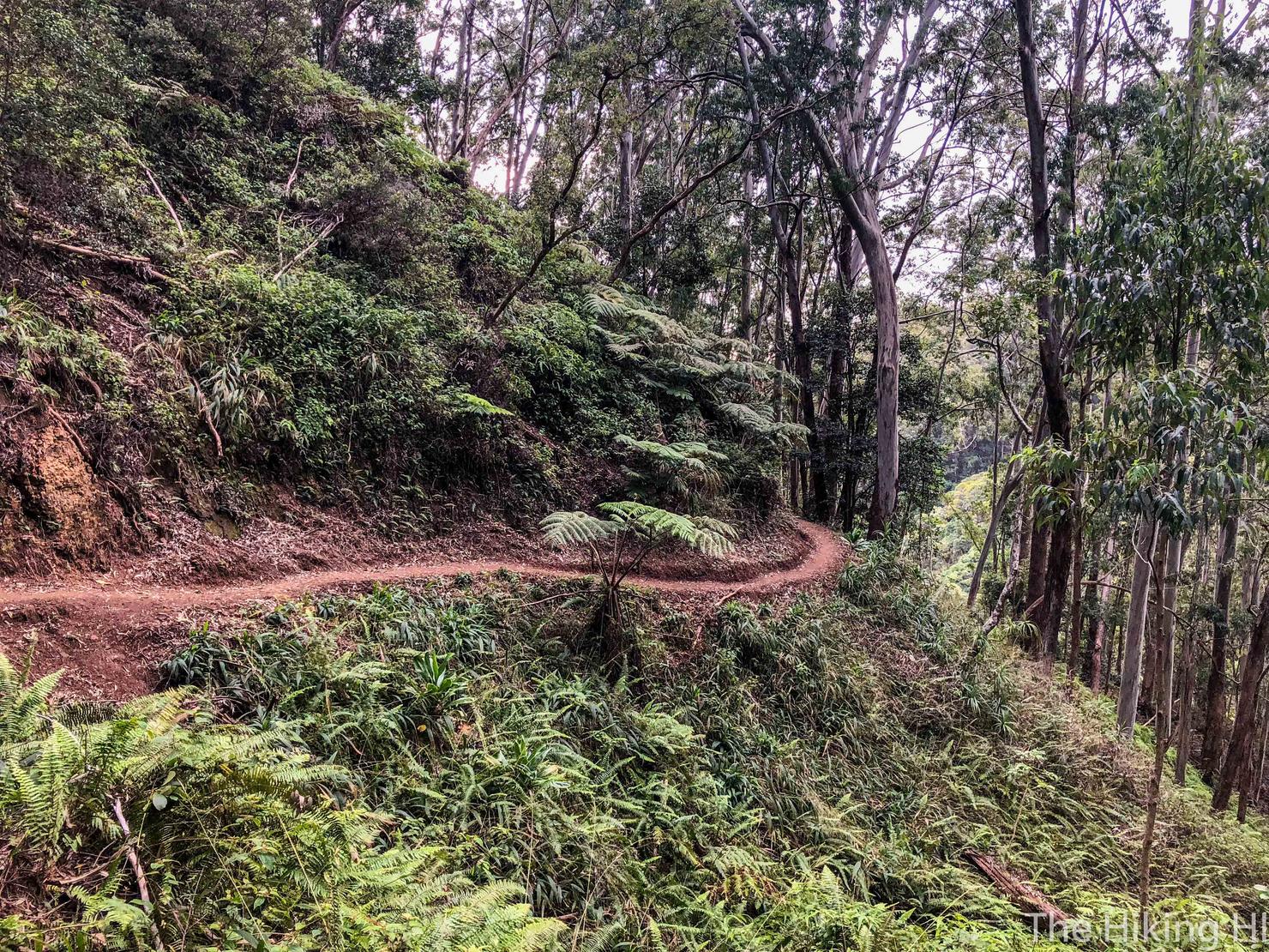
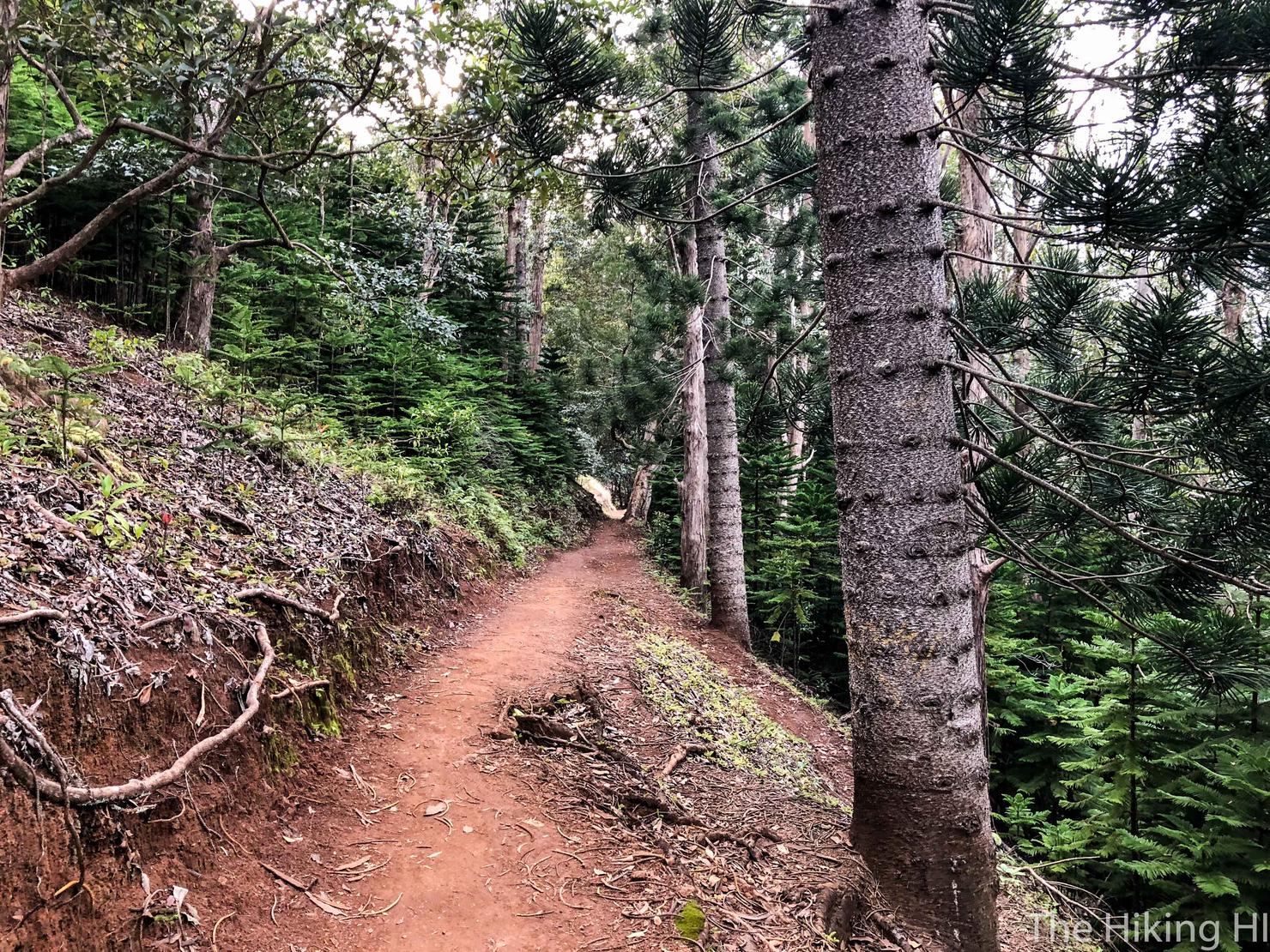
I really love the way this trail looks as it winds through these lush green trees. This is a true contour trail. Despite how this picture looks, the trail is comfortably wide.
There is a point where you will see a path split off and head up to the ridge line. This is the Aiea Ridge Trail and can take you all the way to the Ko'olau Summit Trail (KST).
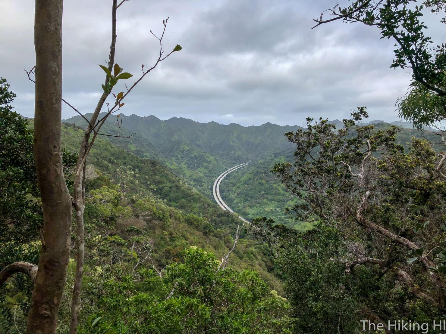
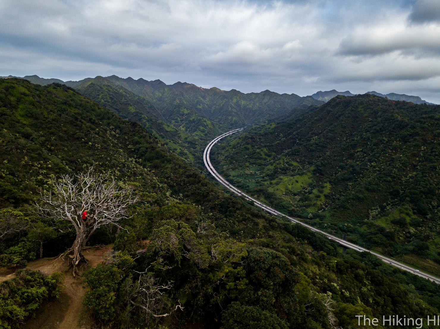
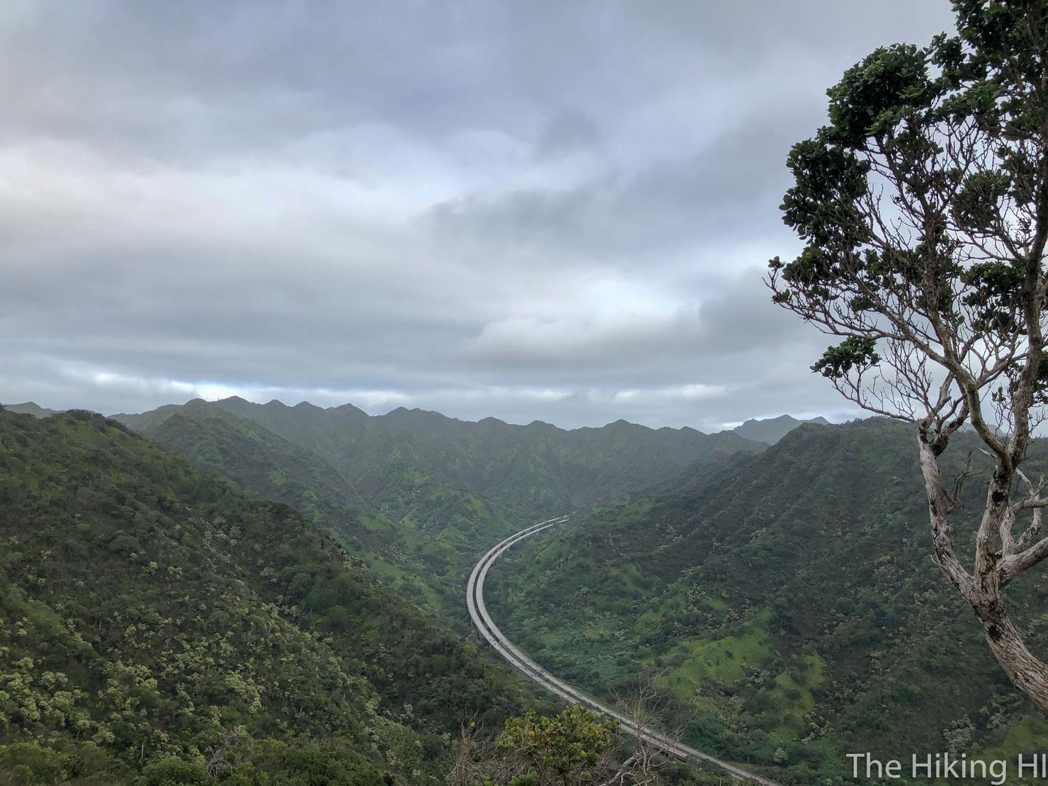
There's a few other lookout points that give you views of the Waianae Range and even some coastline, but this part (in my opinion) is the best view of the hike. A view of the H3 Highway that is only visible on a few Oahu hikes.
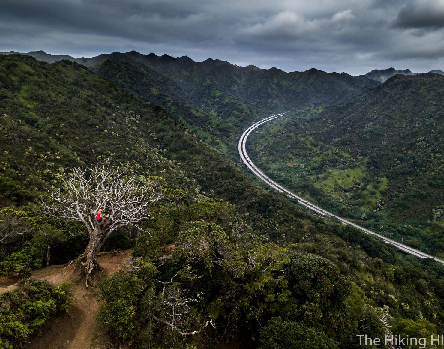
I took the opportunity to fly the drone around a snap a few pics. Yes that's me perched in a tree. Not only did it make for a unique picture, but it was another great spot for some thinking. That highway has been my commute for the past two years for work. Such a beautiful drive to take each day. But with this new job, may come a move to the other side of the island. I guess I have to learn how to become a townie...
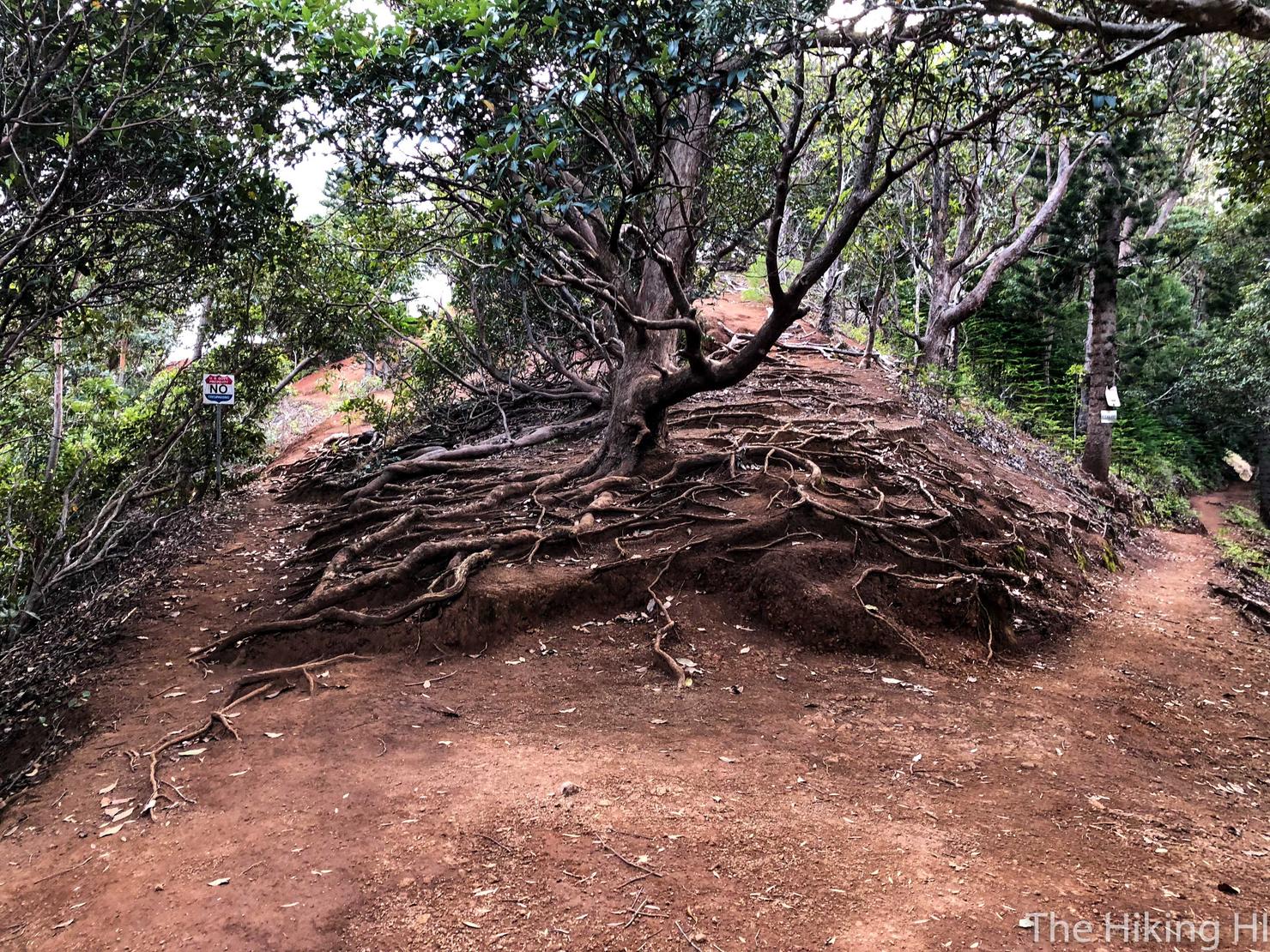
Anyway, back to hiking. There's a point where you will reach this fork. Can you guess which way to go? I'll give you a hint, it is not the way that has a sign that says NO in big letters...
We're on the right path.
A shot of the unique looking Cooke trees. After the many hikes I've done out here, I've seen these trees quite a few times, but something about those notches leading all the way up the trunk gets me every time.
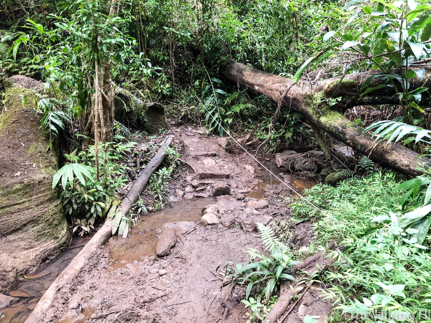
There is one "stream" crossing at the base of this valley. This is definitely the muddiest part of the hike, especially if it's been raining. From here it's an uphill climb back to the road.
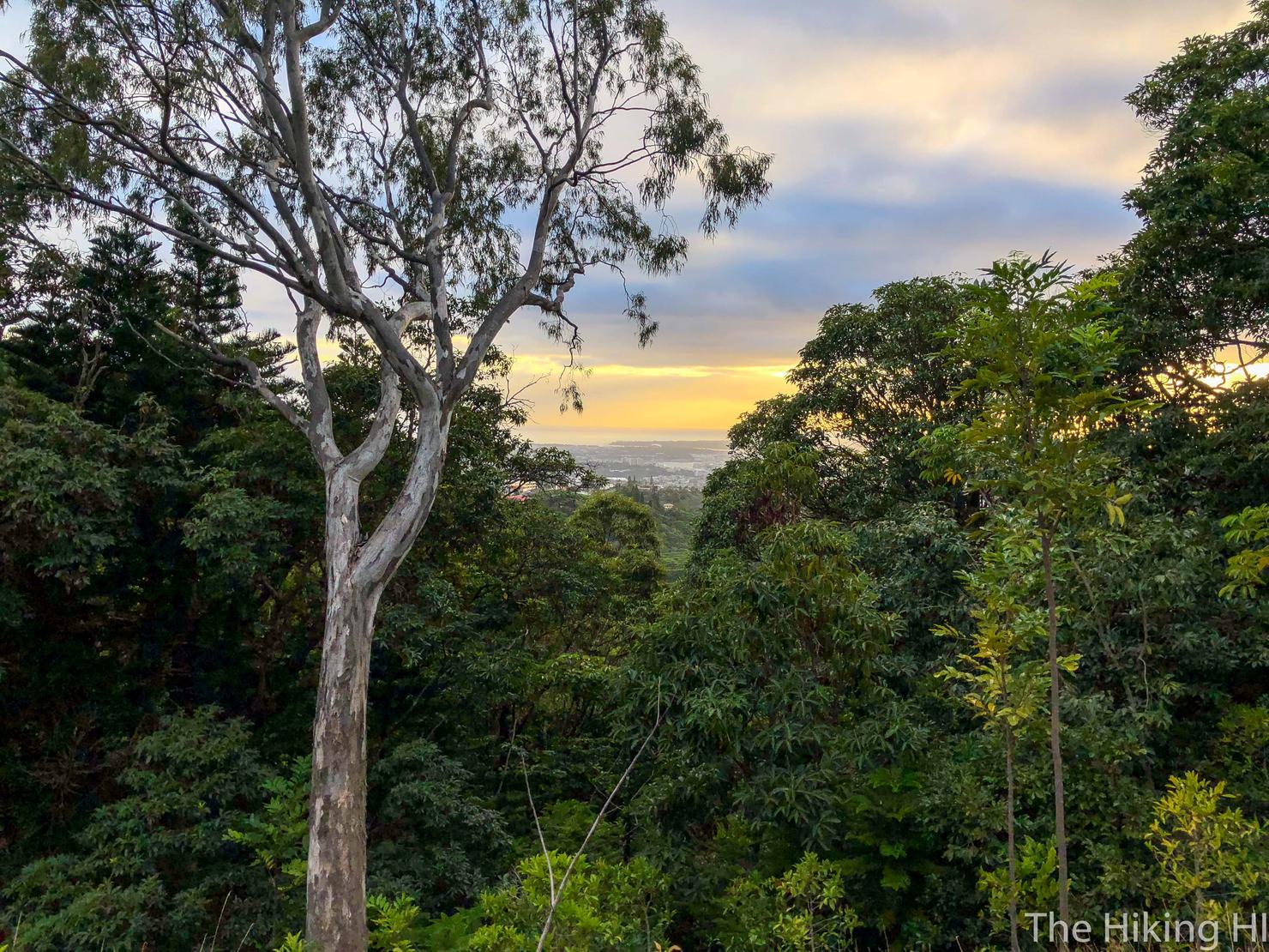
One final lookout point before the hike concludes. This is the beginning of the sunset over the Kapolei area.
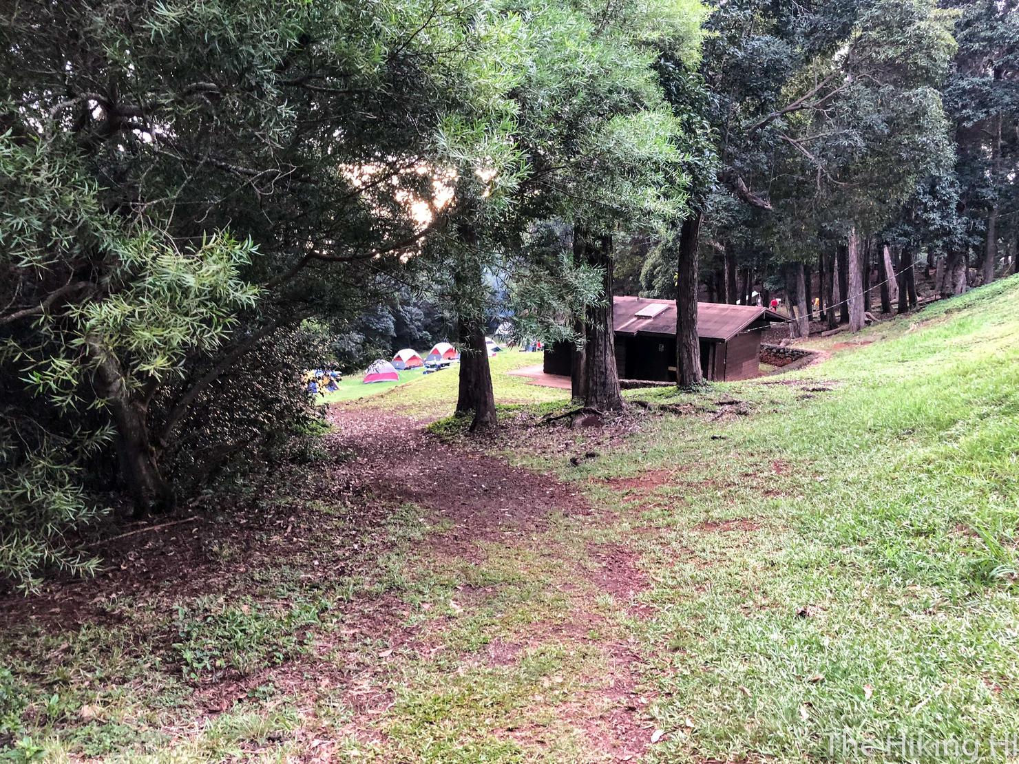
Eventually the trail will pop you out at this open area which is a designated camping ground. This picture was an after thought, so you actually are continuing uphill (180 from this picture) until you meet the road. I was quite envious of these campers' delicious smelling food.
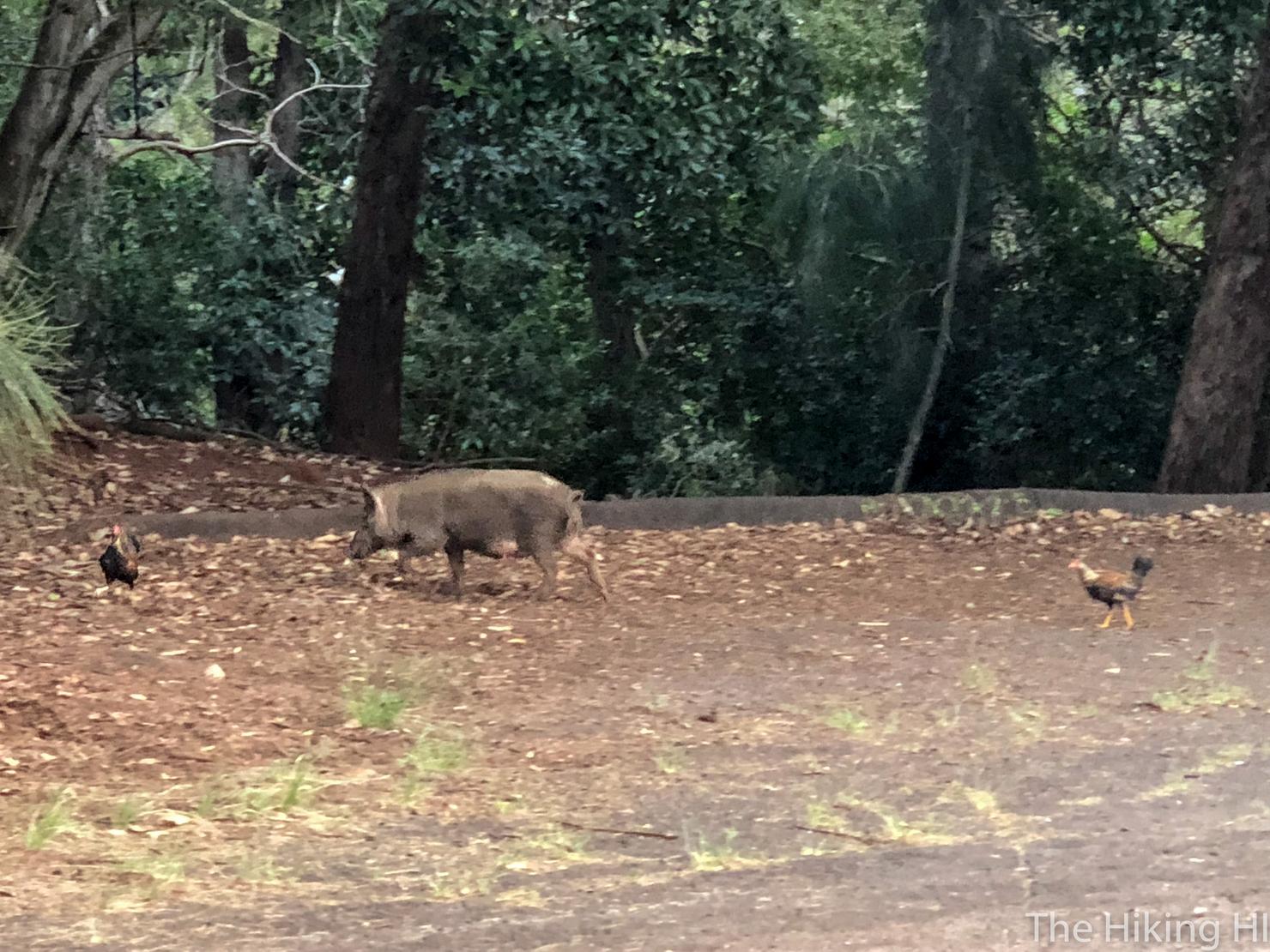
And as I reached the road I was surprised to come across pig hanging out with some chickens. Shockingly, I have never seen a pig while hiking in Hawaii. After almost two years here, I'm still seeing new things almost every hike.
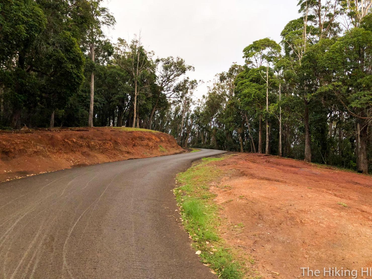
The last and worst part of the hike...the walk up the road back to my car. This is actually the steepest ascent of the entire hike. But hey, gotta get leg day in somehow.
One last shot of that cloudy, but beautiful lookout. Some big changes are coming for me and, while it is exciting, it scares me a little. But I know as long as I find solace in these amazing mountains, I will always be okay.