Difficulty: INTERMEDIATE-ADVANCED
Time: 7-8 HOURS
Distance: 12 MILES
Elevation Gain: 2200 FEET
Foot Traffic: LOW
Challenges: Very Overgrown, Lengthy
Sights: Windward Coast, West Side
What to Bring: Water (>2L), Lunch, Long sleeves and pants, Gloves, Sunscreen
A lengthy graded ridge on Oahu's northern windward coast, this hike offers some unique and beautiful views of both sides of the island (if you can grind your way to the summit). The first portion of the ridge is pleasant, as you stroll through beautiful vegetation including strawberry guava trees and impressive Cook Pines. After passing the junction to the Laie Pools, the hike ramps up in difficulty, taking you through some dense brush and narrow ridges. If you do push all the way to the summit, you will be rewarded with a unique perspective of the windward and leeward sides of the island, all in one.
If you read my last post about Laie Falls, I hinted that the falls trail was only part one of my Laie adventure. The other portion was my trek along Laie Ridge to the Ko'olau Summit Trail (KST). While this trail certainly isn't for everyone, if you're up for a challenge, this is just another way to experience a unique part of this island in solitude.
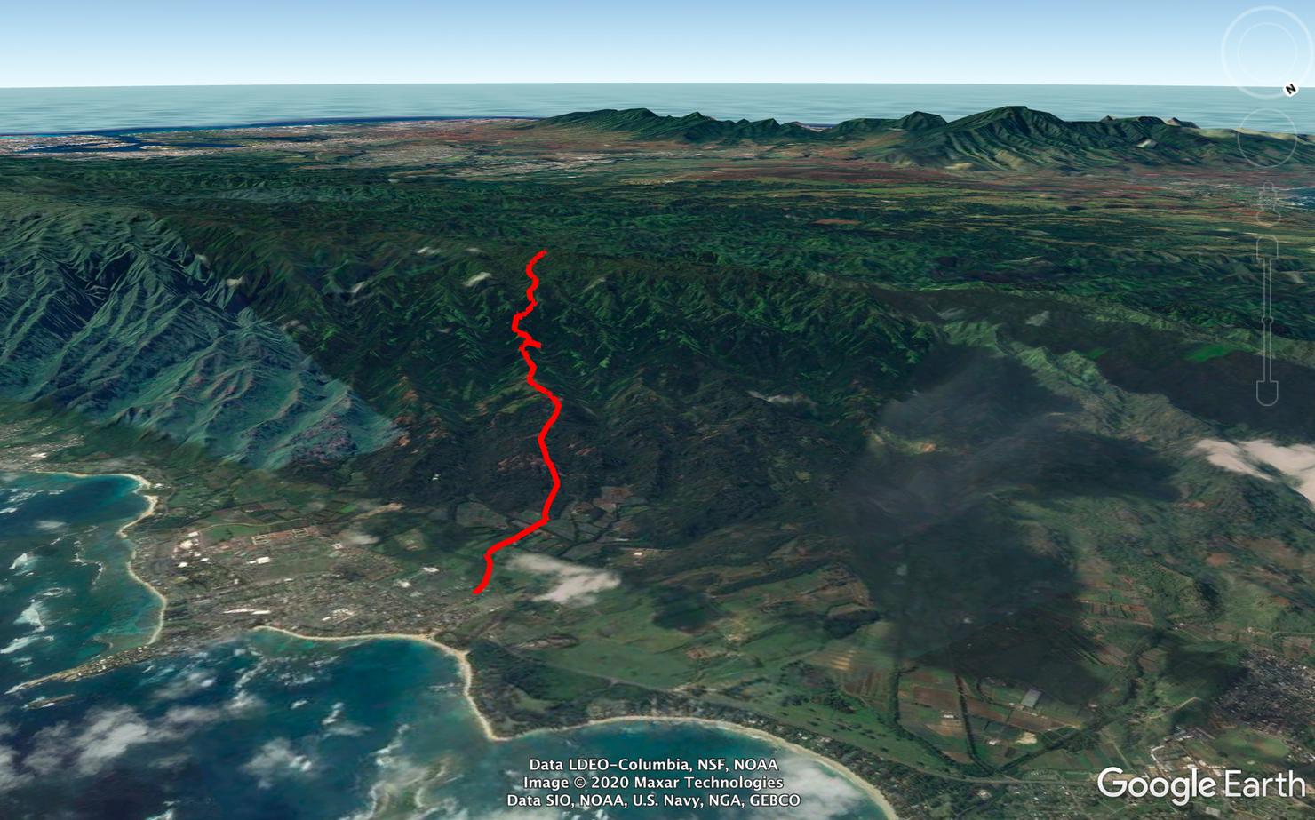
No tricks to this hike. A long graded ridge between Laie and the KST is what awaits..
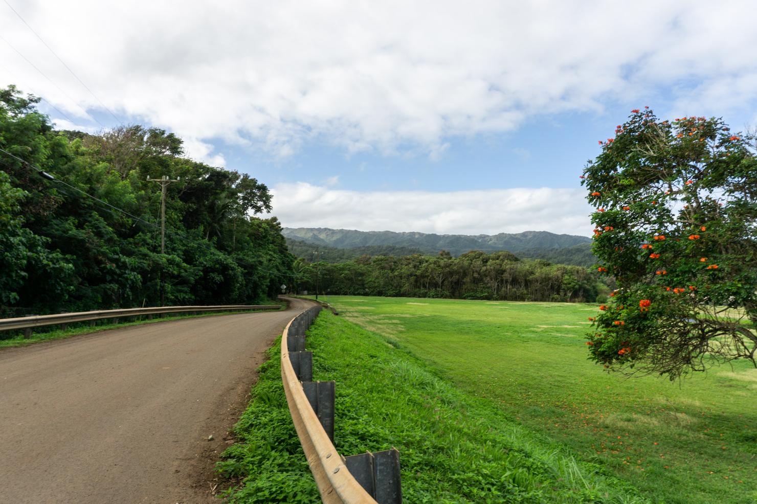
But first, logistics. If you read my Laie Falls post, many of these initial photos might look familiar. Park at Laie Park and walk along Poohali Street towards the mountain.
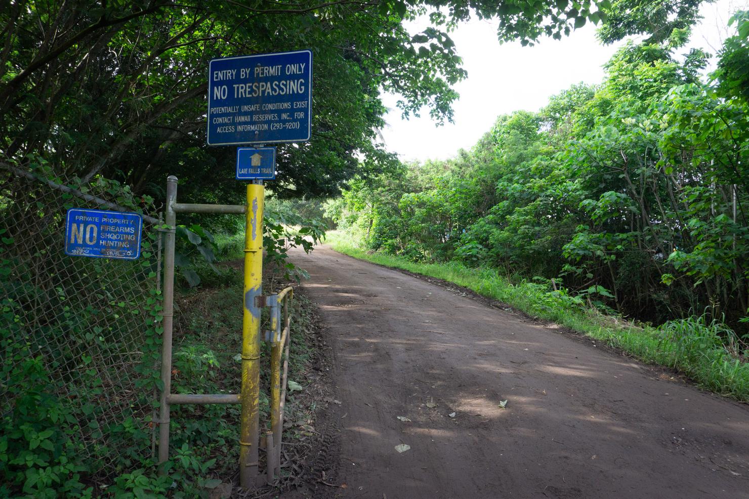
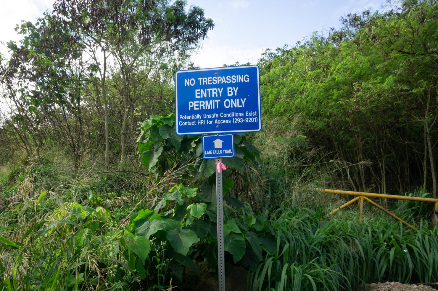
You will eventually arrive at this junction in the road. If you can't tell from the sign, this trail technically requires a permit to hike. It's pretty easy to get-- simply fill out a form, email it to Hawaii Reserves Inc. and they will reply saying you are authorized access.
**February Update: Since hiking this, Hawaii Reserves have suspended issuing permits until further notice due to a hiker being threatened by a dog**
And after a few minutes on the road, you will see a trail off the left side of the road. This is the trailhead. From here we will fast forward until we get past Laie Falls. (For more info on the initial part of the ridge, refer to my Laie Falls post).
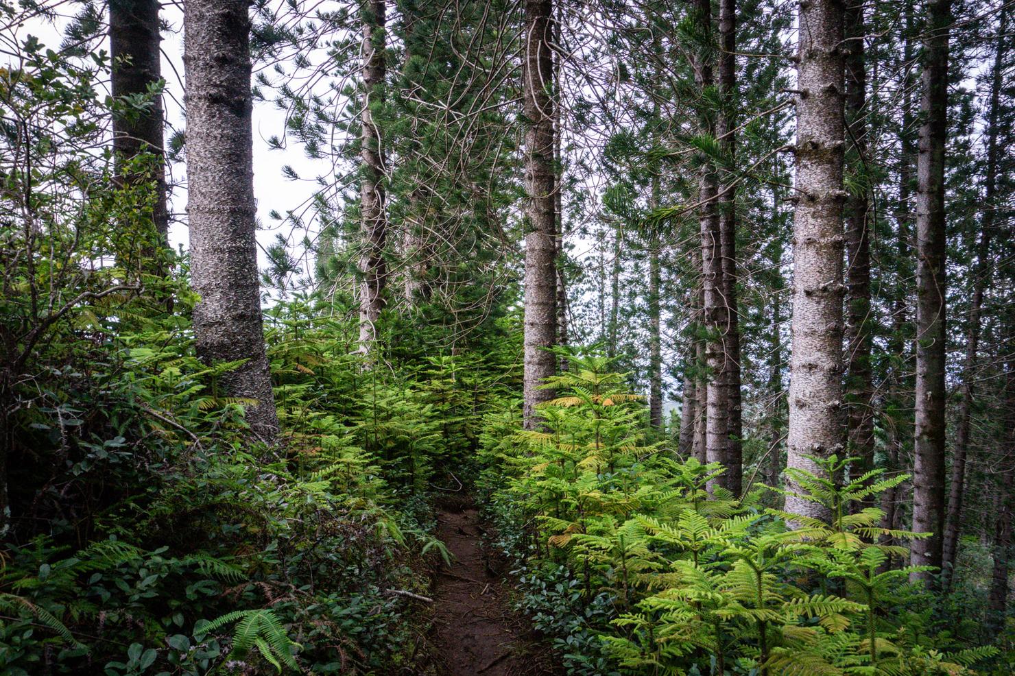
Ok one quick pause for the beautiful Cook Pine forest.
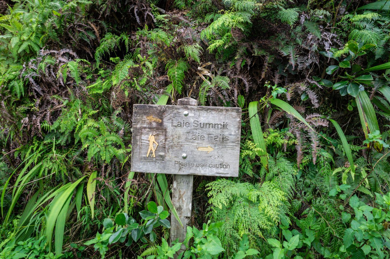
And now back to the ridge. After about 1.5 hours, you will arrive at the junction for the falls and summit. We will head left and continue along the ridge.
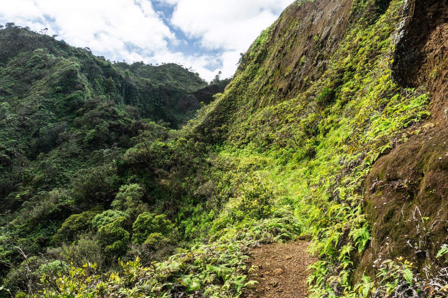
You will very quickly feel a change in the character of the ridge. This is a graded ridge, with the trail snaking its way through the valley and the crest of the ridge towering above you on one side.
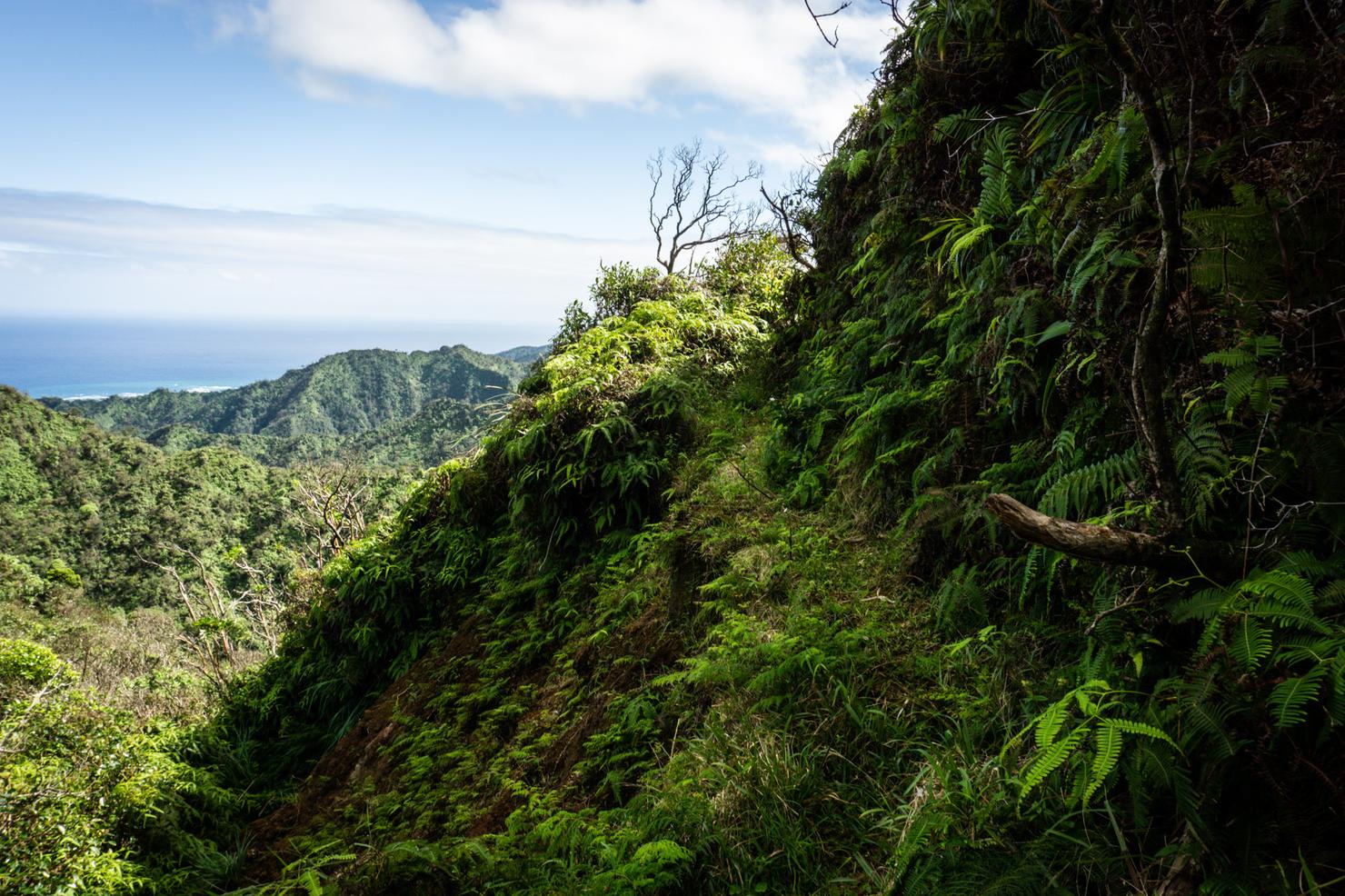
And while graded ridges generally feel very comfortable (there's only one side of the ridge you can fall off after all), this ridge still has some challenges, such as this narrow section.
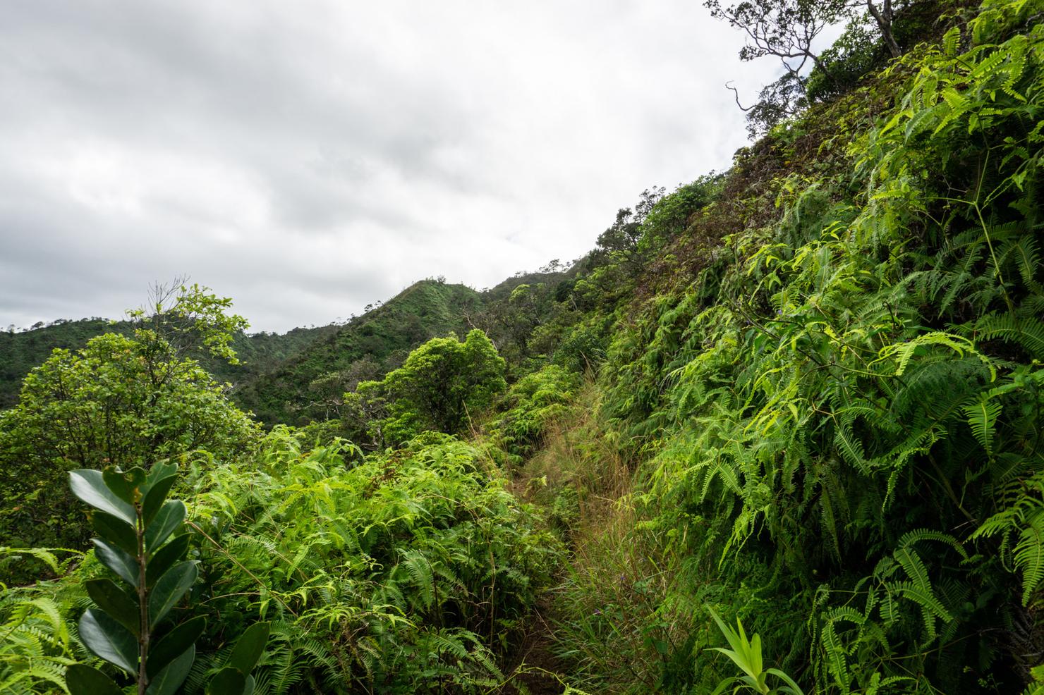
But the biggest challenge is the overgrown nature of the trail. It's pretty much nonstop bushwacking until you reach the summit. Pants and long sleeves (and even gloves) are a must for this trail. There's not actually many markers throughout this ridge, but it wasn't too difficult to follow the grade.
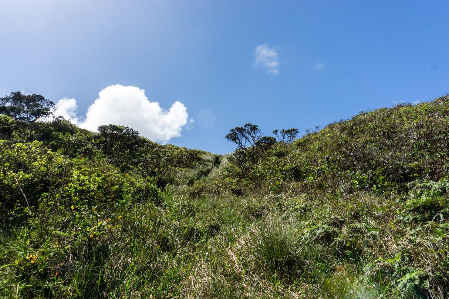
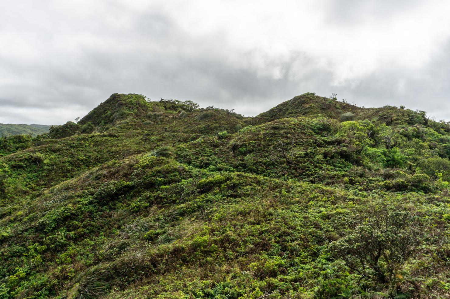
After the 3.5 hour slog the end was in sight. Just a little scramble up this grass ridge.
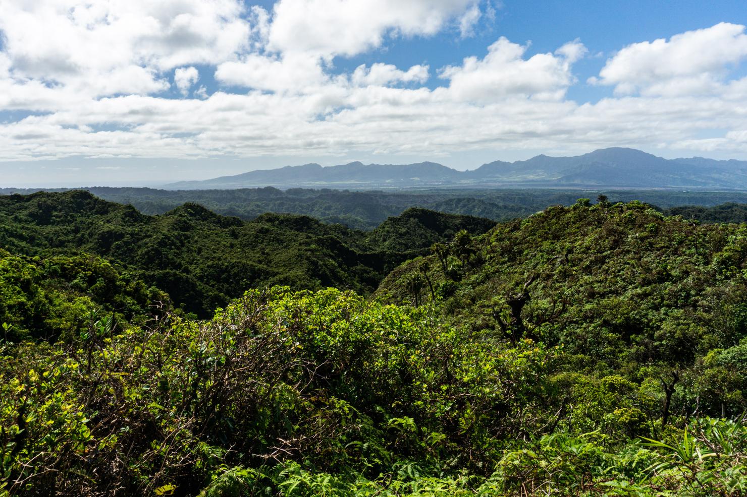
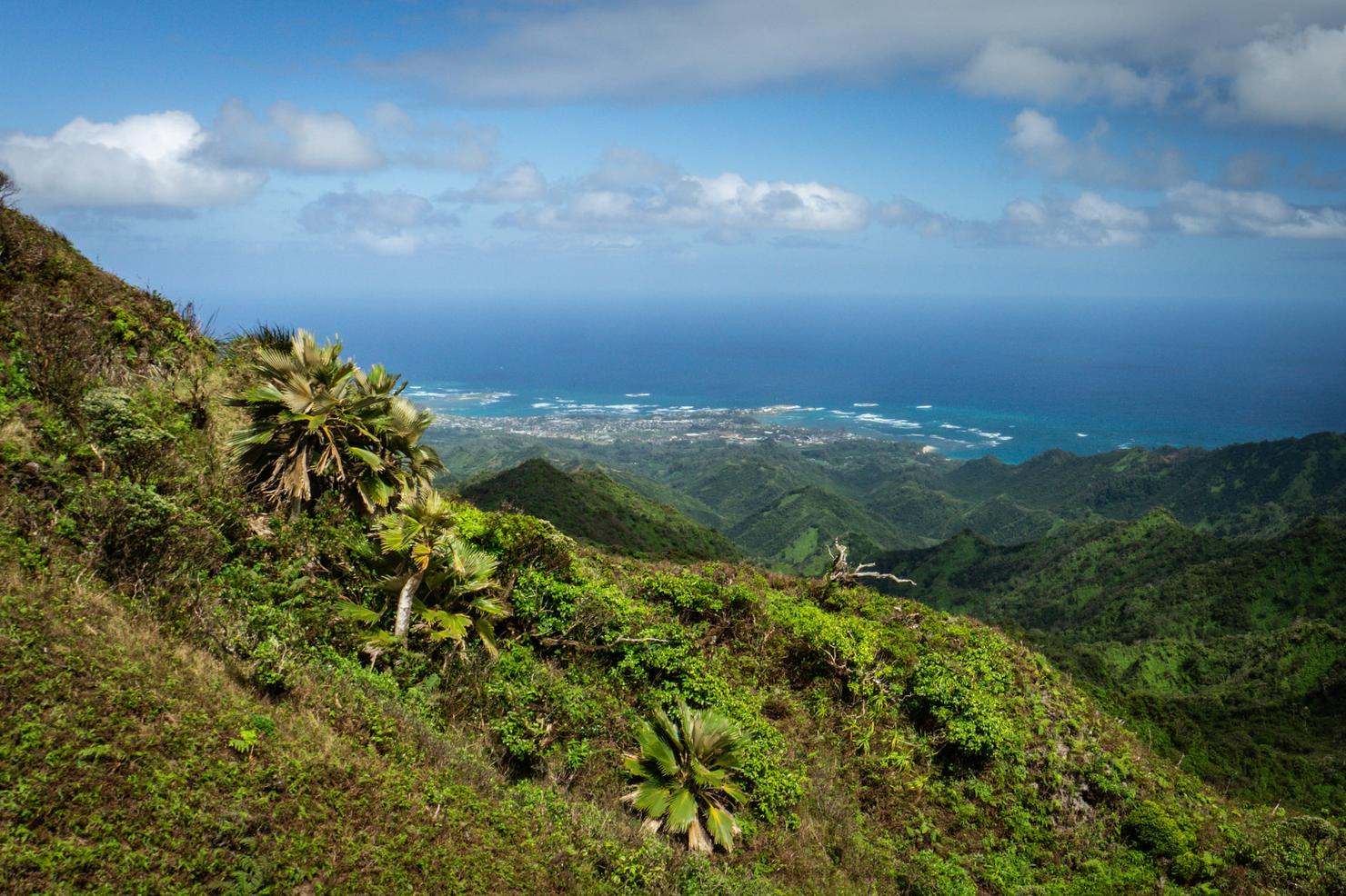
And aloha west side! Those peaks in the distance are part of the Waianae Range, the other mountain range on Oahu. We are currently on the crest of the Ko'olau mountain range.
And this crest is actually called the Ko'olau Summit Trail. It goes all the way from where we are standing to the southern point of Makapu'u. A brave few have hiked the entire thing in one go, self-sustained the entire way. This section would only mark the early days of their journey, with many more twists, turns, ups and downs to come.
Which sounds like some sort of metaphor. When those tricky sections come, nothing to do except put one foot in front of the other and keep pushing. Just be sure, when you overcome those challenges, to give yourself a pat on the back, and enjoy the moments that look like this. Because there's sure to be another overgrown scramble right around the corner.