Difficulty: BEGINNER-INTERMEDIATE
Time: 3-4 HOURS
Distance: 7 MILES
Elevation Gain: 1400 FEET
Foot Traffic: LOW
Challenges: Muddy, Slippery Scramble Near Falls, Requires Permit
Sights: Laie Falls, Northeastern coastline
What to Bring: Water (>1L), Snack, Swimsuit and Towel
Located in the northern part of windward Oahu, this trail offers a beautiful ridge and a pleasant waterfall all wrapped in a moderate hike. The first portion starts out on a dirt road that leads you to Laie Ridge. Once you reach the ridge, you will be greeted with some lovely foliage, including towering Cook pines and strawberry guava trees. Finally, follow the ridge for a short ways before taking a side trail down to the valley, ending at the beautiful Laie Falls. This two-tiered waterfall, with it's majestic blueish pool is a great place for a snack and a swim. While getting to this hike may be a bit of a drive for most, it is definitely worth the trip.
New year, new hikes! Nothing like the turn of the decade to get me motivated to hit some of those unhiked trails. And with my time left in Hawaii becoming more uncertain, I've started to feel that sense of urgency to knock a few off my lengthy bucket list. First up for the new year, Laie Falls!
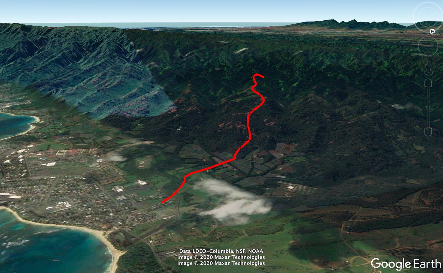
A shot of the hike. The first part of the hike is on a dirt road, followed by a small portion on Laie Ridge before taking a side trail to the falls. It's somewhat lengthy from a distance standpoint, but it goes by quick.
But first, let's talk logistics. Getting to the trail isn't totally straight forward. You can't park right by the trailhead, so instead you will have to park at Laie Park about a half mile away and walk along Poohali Street.
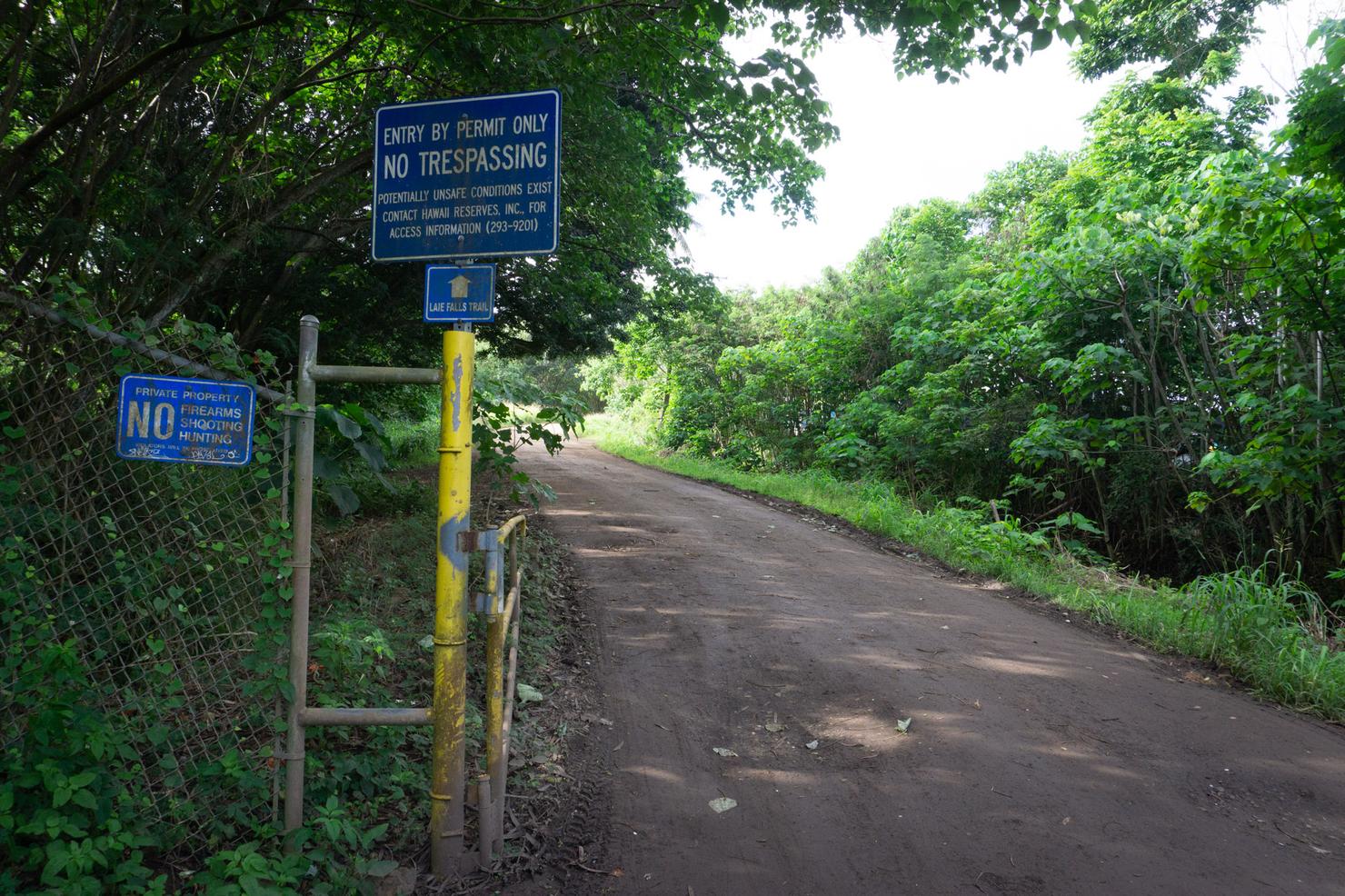
After following Poohali for a few minutes you will come to a split in the road. Veer right to get to the trailhead. This also reveals one of this hike's obstacles--it technically requires a permit. It's very easy to obtain and free. Simply fill out a form, email it to Hawaii Reserves Inc. and they will reply saying you are authorized access. Now there isn't really anyone policing this area, but it's an important thing to note.
**February Update: Since hiking this, Hawaii Reserves have suspended issuing permits until further notice due to a hiker being threatened by a dog**
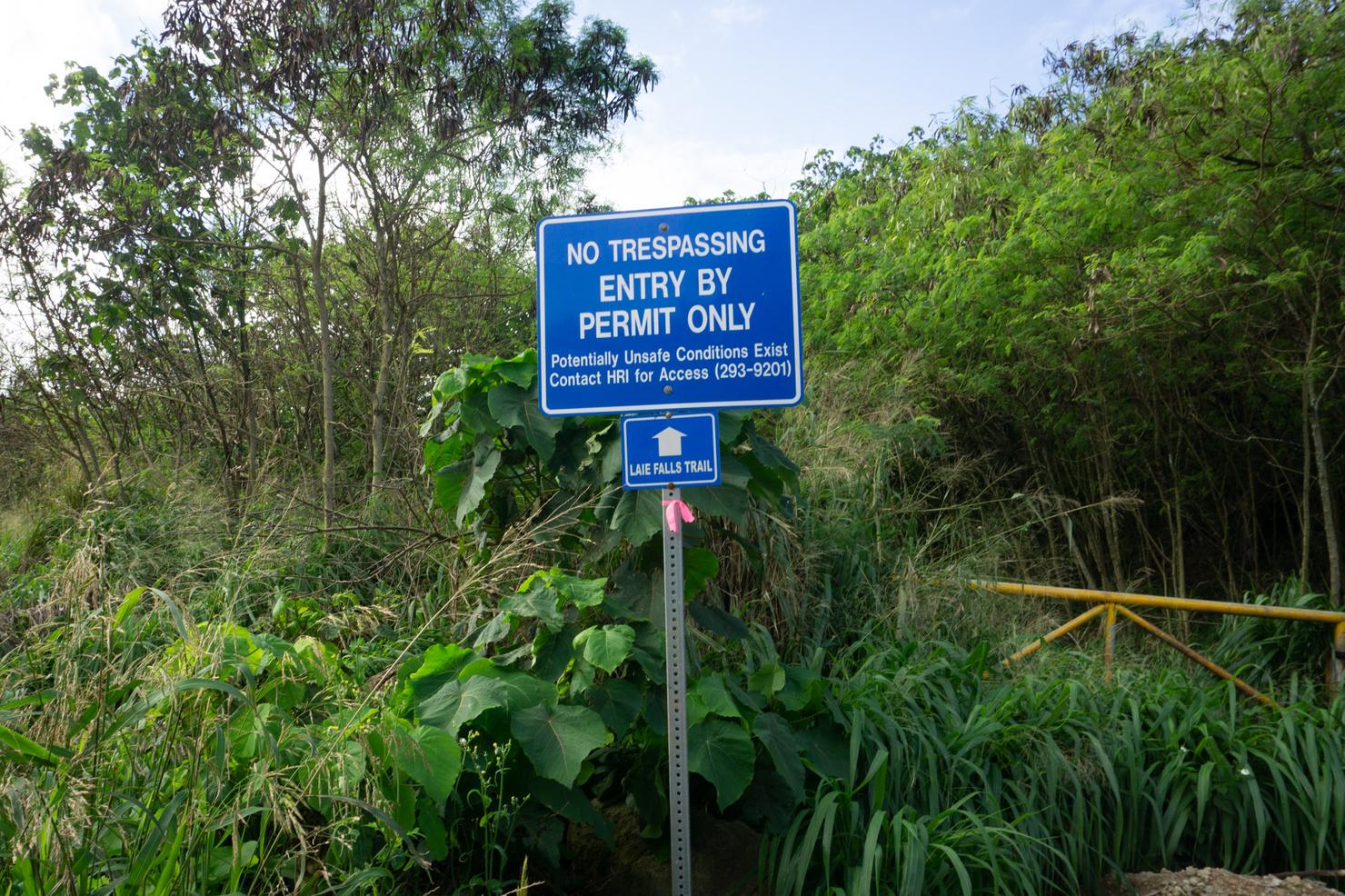
Continue following the road, passing a few houses, until you see this sign on the left side. Walk around it past the green fence.
And we're on the trail! Kinda...
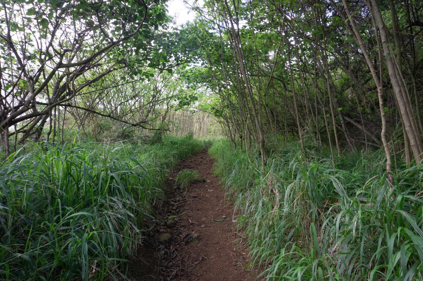
The first section is essentially a dirt road. It is easy to follow. There is one fork early on, but make sure to stay straight. It's quite pleasant--just a nice stroll in the trees.
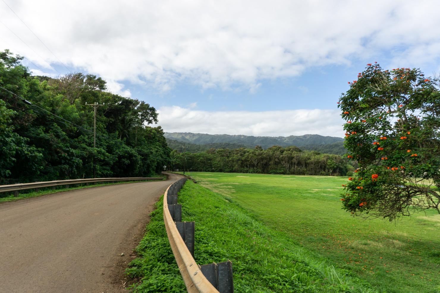
There's a few open sections along the road like this.
Which gives you the opportunity to get a clear view of the expanse of the valley. That ridgline in the back is the Ko'olau Summit Trail. This portion is actually the most northern part of it. That crest goes all the way to the southernmost point of the island, near the Makapu'u Lighthouse Trail. Crazy right?
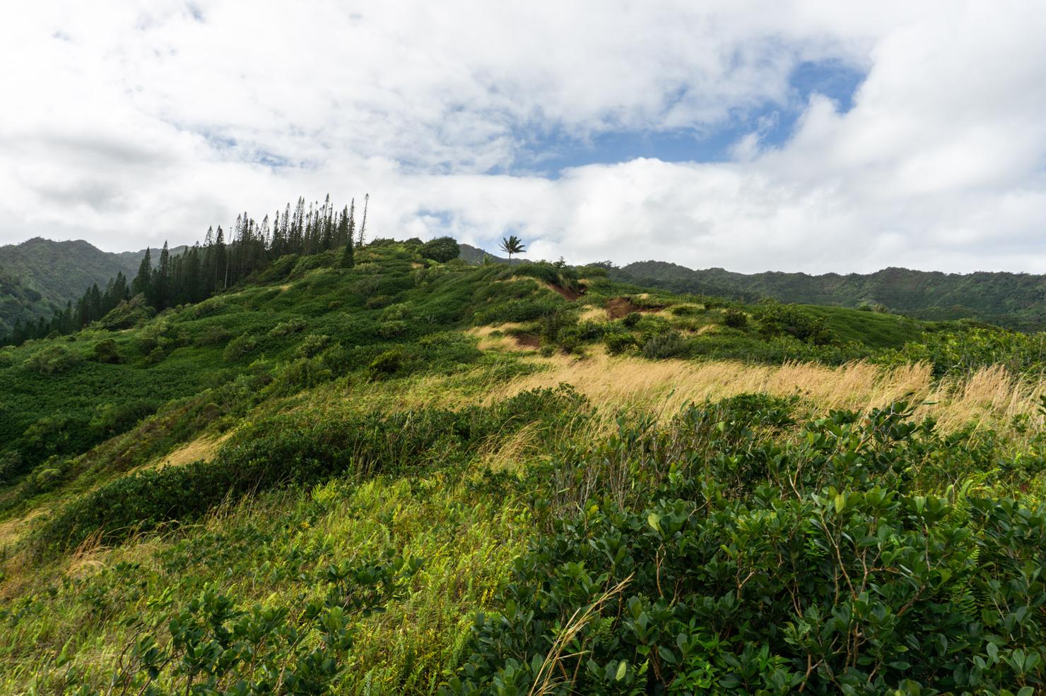
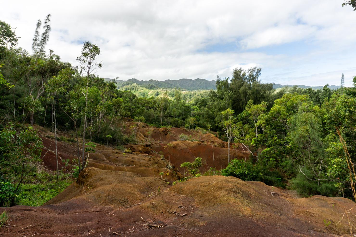
Something I really enjoyed about this hike was how much diversity the landscape had. Often when you do a waterfall hike, it's all about the destination. And sometimes the hike there is not so enjoyable- often a sloppy slog through a valley. But this hike was different. You had some great valley views followed by this gorgeous section of ridge-- flowing yellow grass in front of a lush green ridge. Oh and you see that forest?
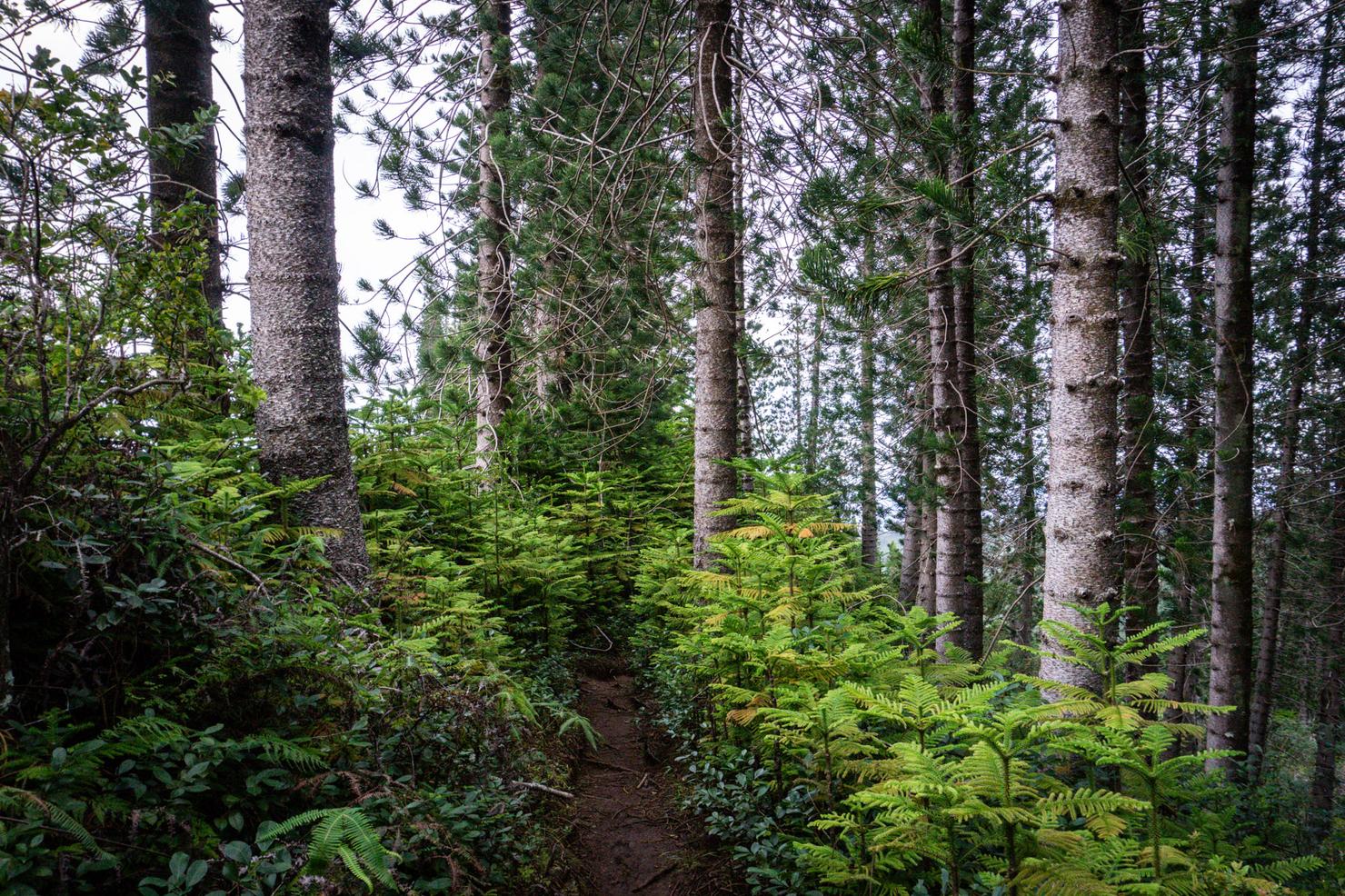
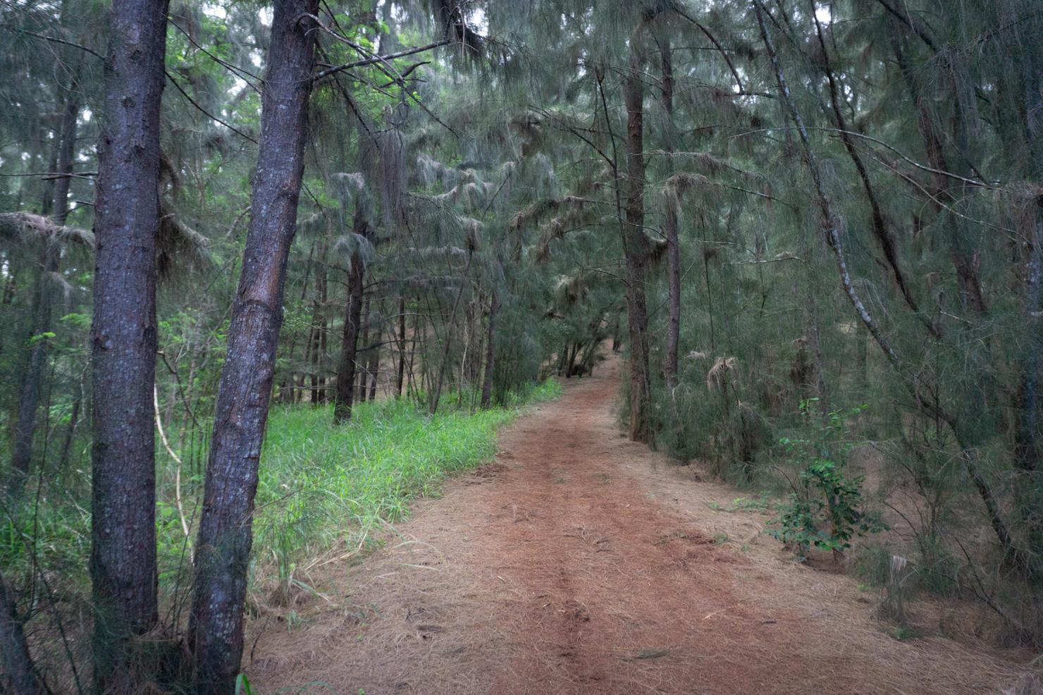
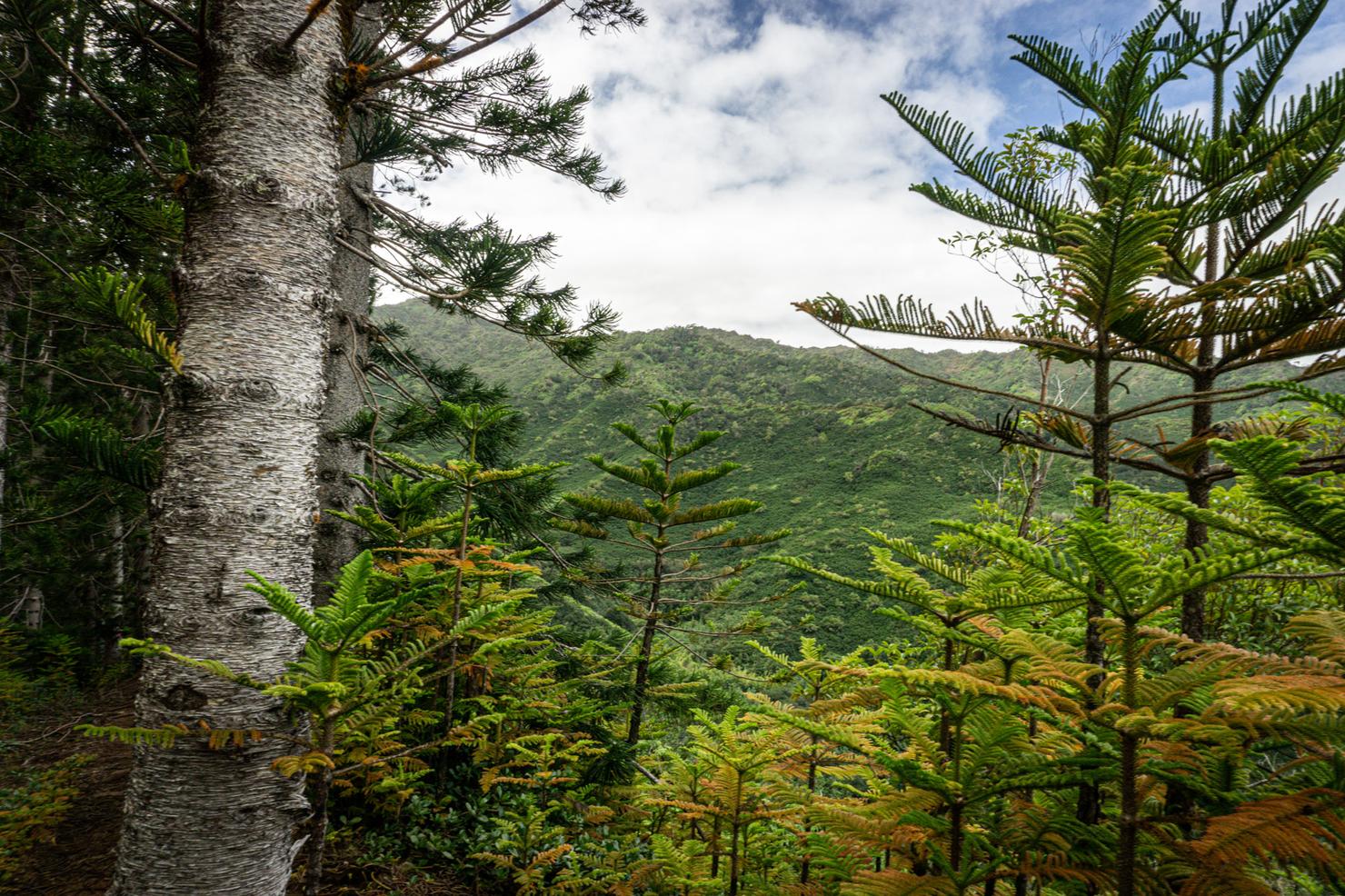
It's a Cook pine forest! Easily my favorite tree in Hawaii. These trees also mark the start of the "official" Laie Ridge trail.
Supposedly this section is littered with strawberry guava trees, but they are typically in season during the late summer. Oh well, views like this will have to suffice.
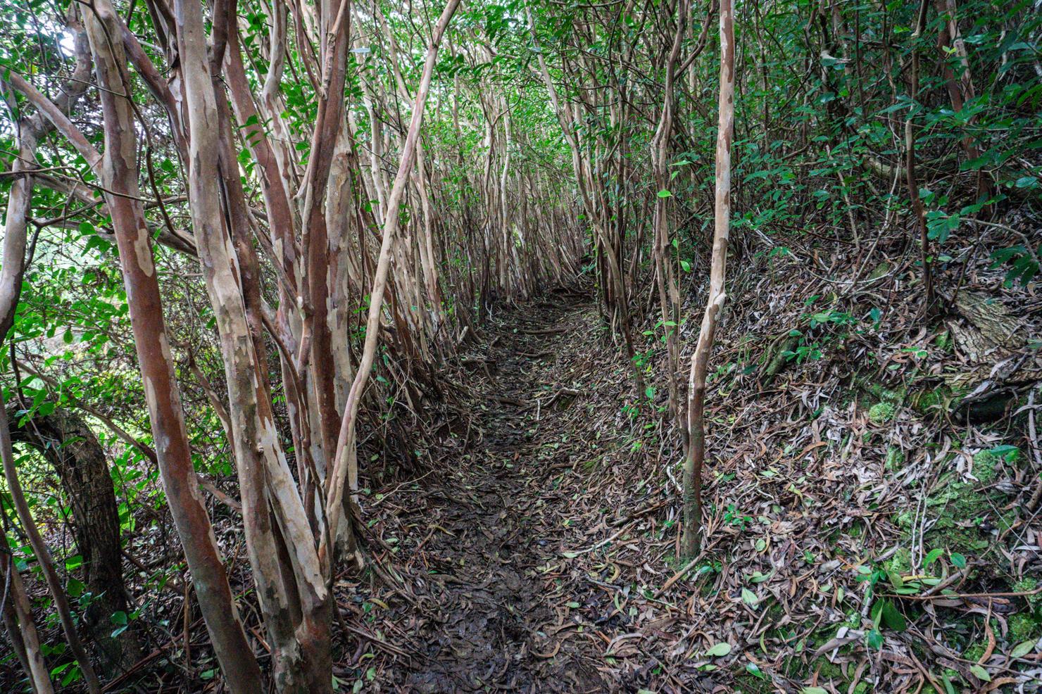
Onward to the falls! Shortly after the pine forest, the trail narrows a bit as you continue through a different set of trees.
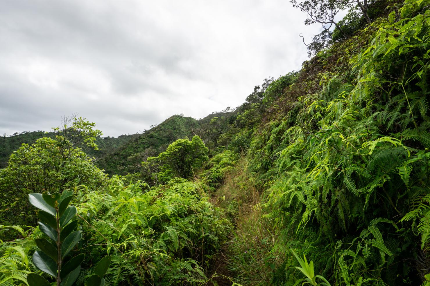
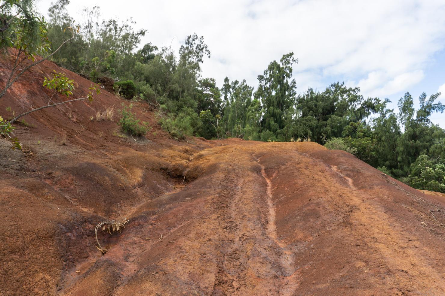
Before you break out on to a mildly overgrown graded ridge.
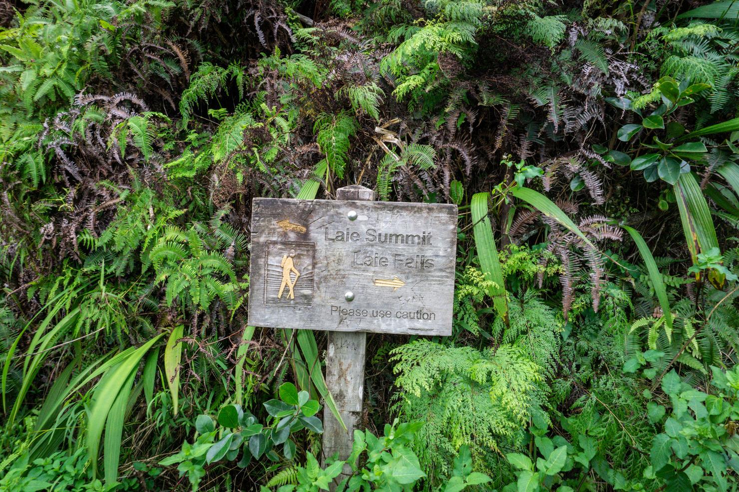
And after a few minutes, you will arrive at this sign. It is rare to see such a comprehensive sign in Hawaii. It's got arrows and everything! Right will take you on a side trail down to the falls. Left would have you continue along the overgrown ridge to Laie summit (to be covered in a separate post).
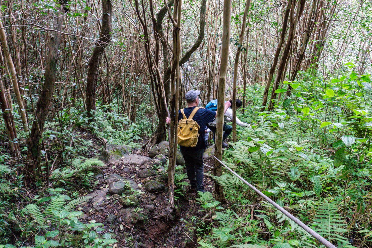
The trek down to the falls is probably the trickiest part of this entire hike. You're on a small path, that is likely muddy with a nice dropoff on one side. Luckily, there is rope lining the descent to make it easier. I was surprised to run into a group of 15+ people descending to the falls when I got to this section. I later found out it was the Hawaii Trail and Mountain Club and that this was one of their scheduled weekend hikes.
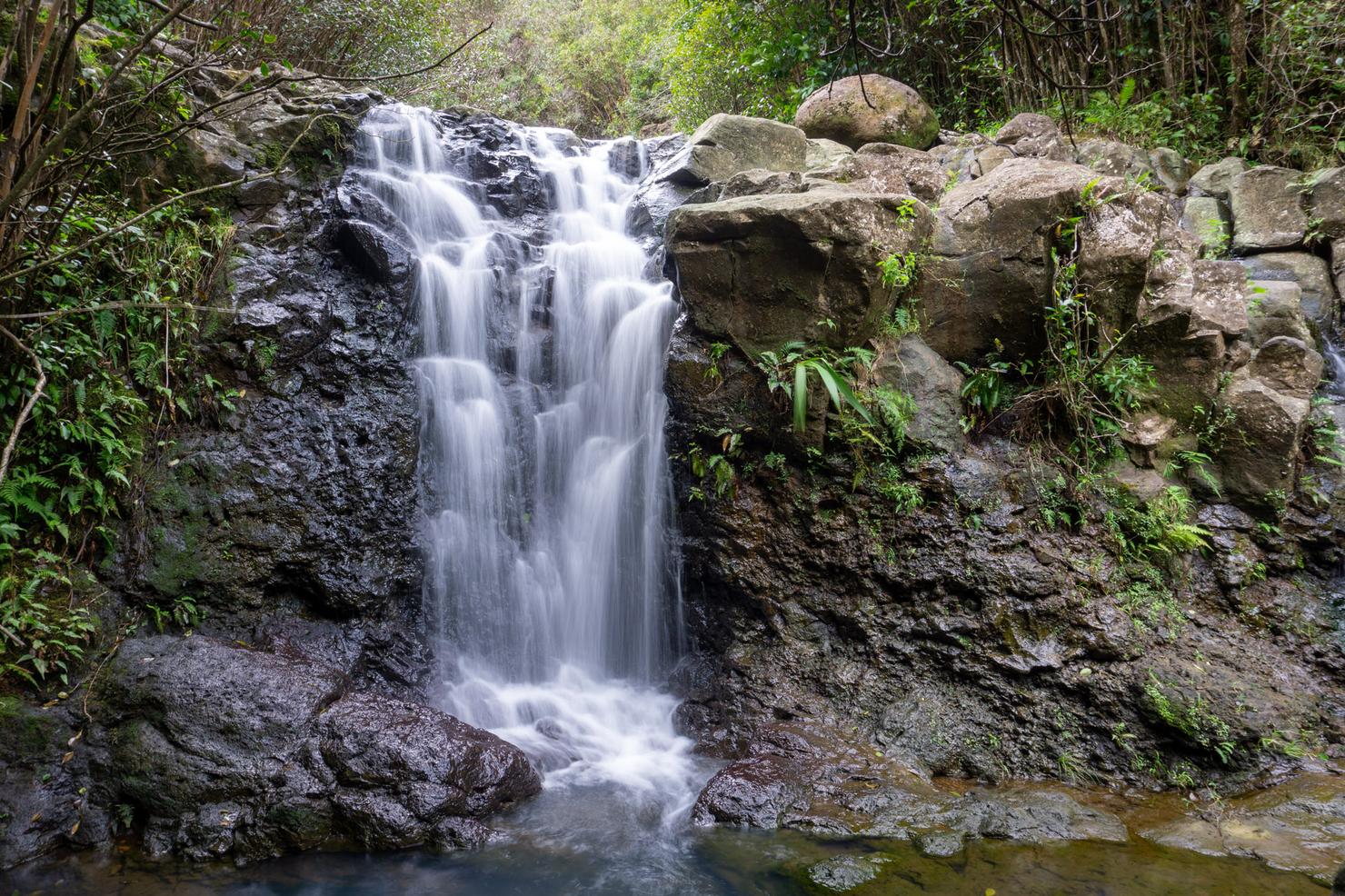
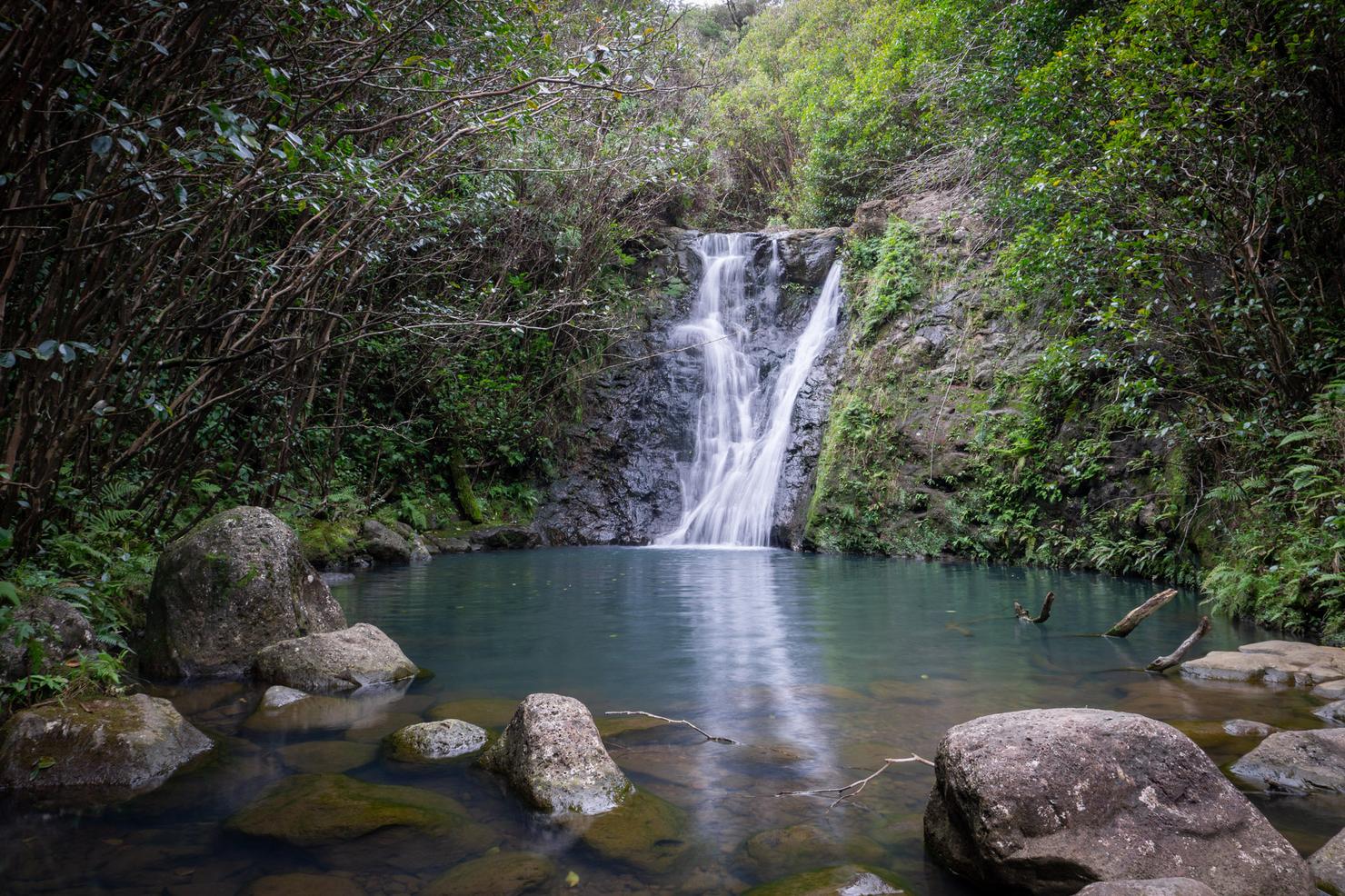
Aloha Laie Falls! This is a two-tiered waterfall, with this being the lower portion. There are ropes and trails that lead to both, so no need to do any crazy waterfall climbing.
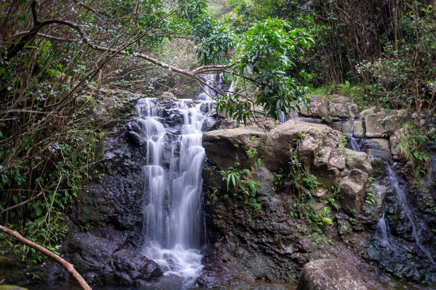
A shot that captures both tiers.
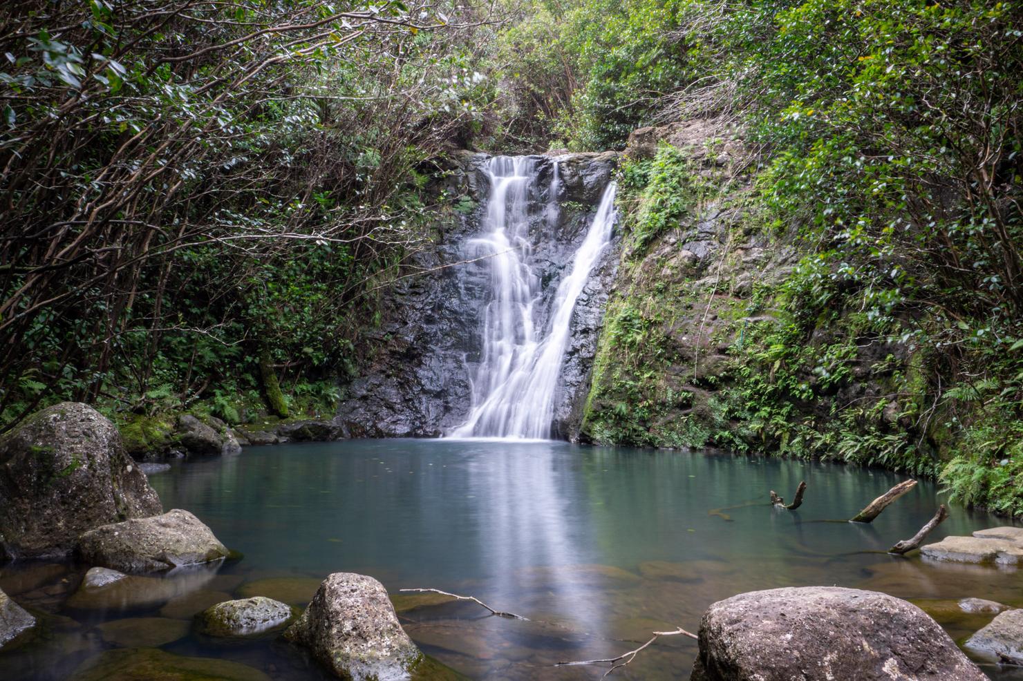
And the money shot, the upper falls. I actually came back to these falls after making a trek to the summit so I could enjoy them alone. I went for a swim and sat for awhile just enjoying that soothing sound, and that majestic bluish tint of the pool. It amazes me that I continue to discover magical places like this and enjoy them in total solitude. I guess that's why, even after almost 4 years here, I just keep coming back for more.