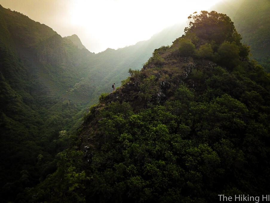
Difficulty: INTERMEDIATE-ADVANCED
Time: 5-7 HOURS
Elevation Gain 2500 FEET
Distance: 6 MILES
Foot Traffic: LOW
Challenges: Horse Manure, Some Narrow(ish) ridges, Minor rock scrambling, Slippery when wet
Sights: Waianae Range, Western Coastline
What to Bring: Water (>2L), Lunch, Sunscreen
A great upper intermediate ridge located in Makaha, this hike gives you incredible views of the Waianae Range and Makaha Valley. This trail starts out on a dirt road that runs deep into the valley until you finally reach the ridge, which is when the fun begins. You will be required to traverse some saddles, a few narrow ridges, end even do a bit a little bit of rock scrambling. It will be worth every bit of effort for that epic summit view.
As Friday rolled around, I was beginning to get anxious. The next day I would be heading back to the mainland for the first time in a year and a half to begin training for my new job. I was excited to go back and see friends and family, but change for me is always unnerving. My hiking buddy Peter texted me on Friday asking if I wanted to tackle one final hike before I departed and he left the the island for good. I still had to pack, clean, get all my affairs in order, and off course catch my evening flight, so my gut reaction was to decline. But then I remembered that this could very well be Peter and my last hoorah of Hawaii hiking if he never returned to the island for a visit. I ignored my reservations, and said I was game.
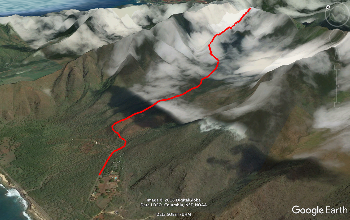
The hike is actually fairly well marked. It is a 45ish minute walk along a dirt path that takes you deep into the valley before you reach the ridge. From there it's a fun ridge hike to the summit. Sorry this Google Earth image is covered in clouds. My technically challenged self wasn't able to figure out how to remove them.
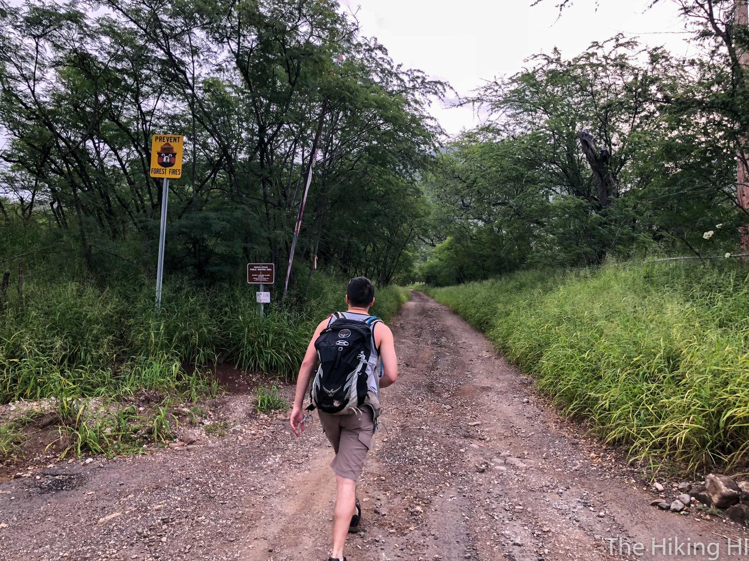
The hike begins right next to Our Lady of Kea'au deep on the west side. You can park off to the side at the end of Kea'au Homesteads Road before the trailhead. Fun fact, there is a gate at the beginning of Kea'au Homesteads Road when you turn off the highway. Apparently, that gate is not opened until 7am, or so Peter, I, and a few other hiking groups learned. I guess you can only start this hike so early. Anywho, let's hike!
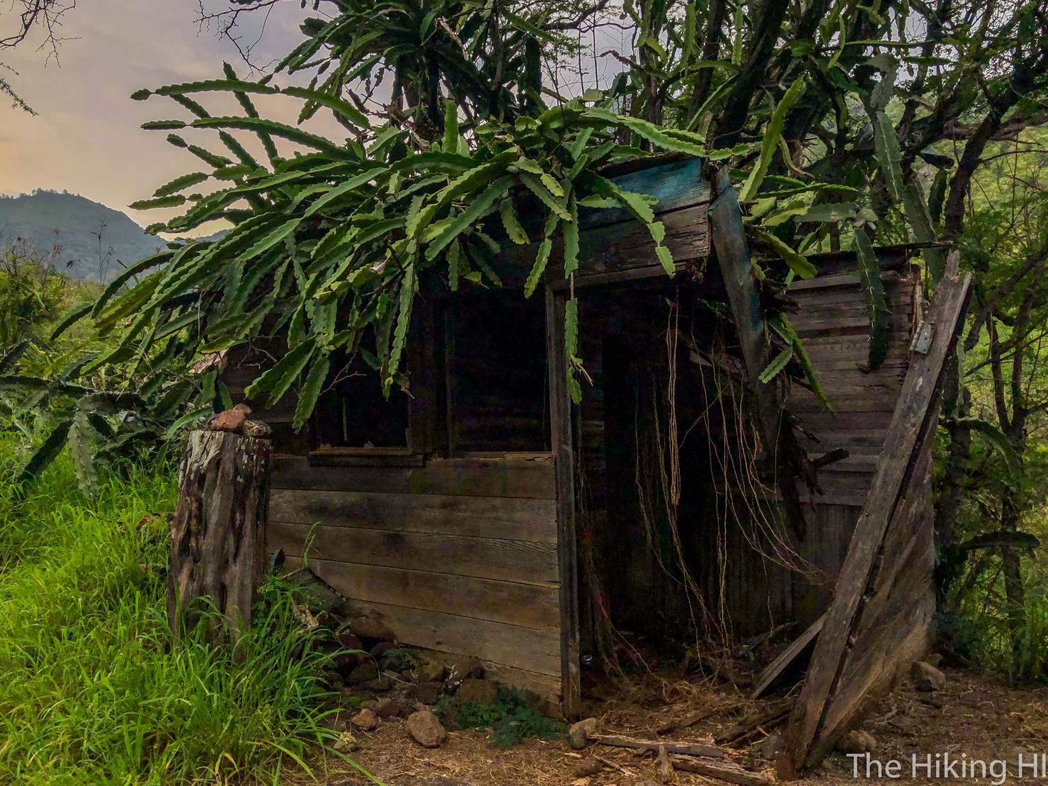
A cool structure we saw early on in the trail. Dunno what it's for. The hike along this road might feel a little like you are trespassing, as you will walk by a few buildings, as well as a stable with horses. However, it is public grounds, so it's fine. We saw a few people on the way out and back, threw them the shaka, and all was well.
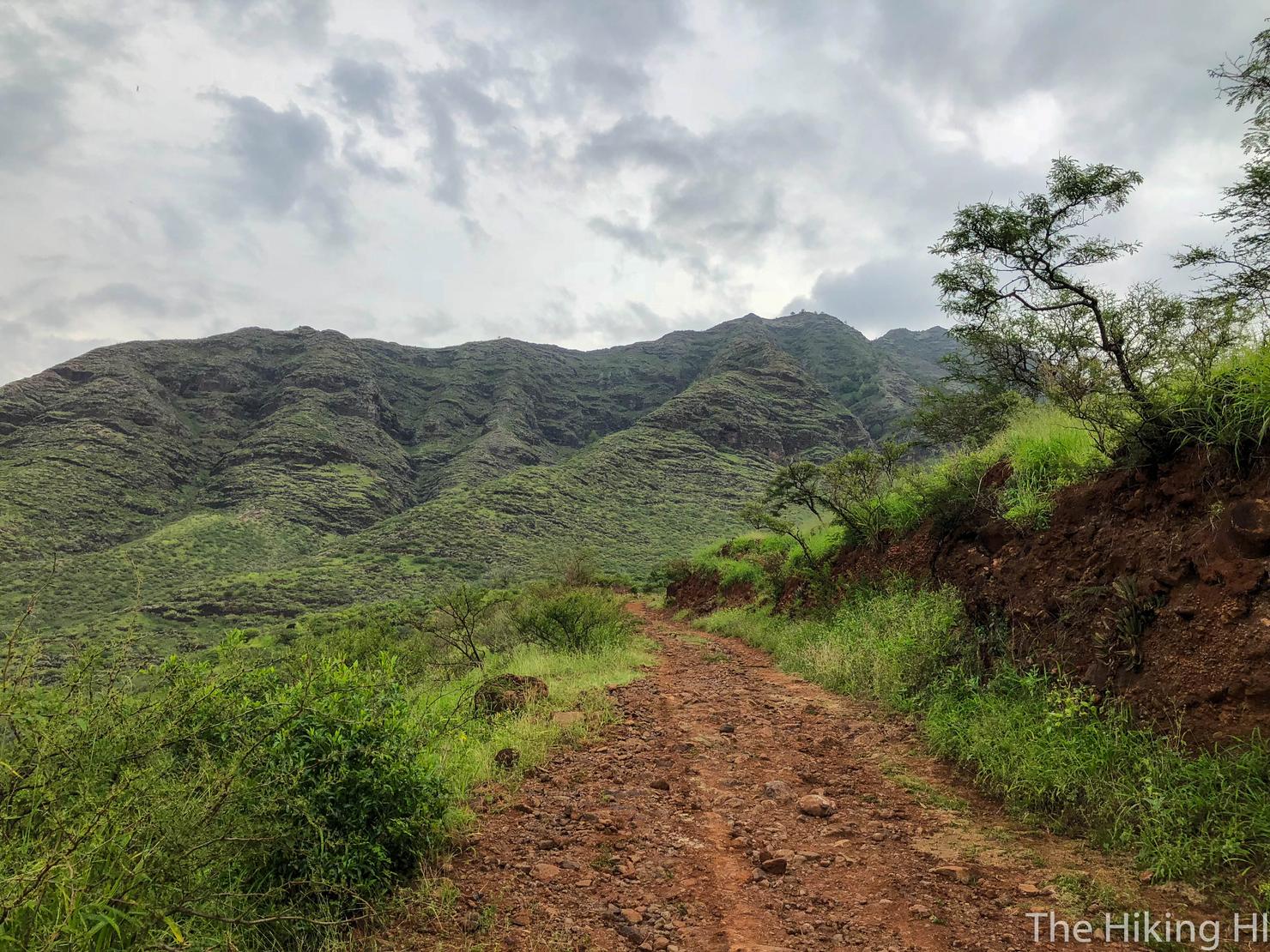
The road loops back and forth a bit at the beginning. Here the road is paralleling the ocean. That ridge directly in front of us is Ohikilolo Ridge. Some of the groups we passed during the day did this as a loop hike, hiking up that ridge and then connecting to Kea'au Middle Ridge via a saddle. That seems like a pretty awesome hike, one I definitely want to come back and do.
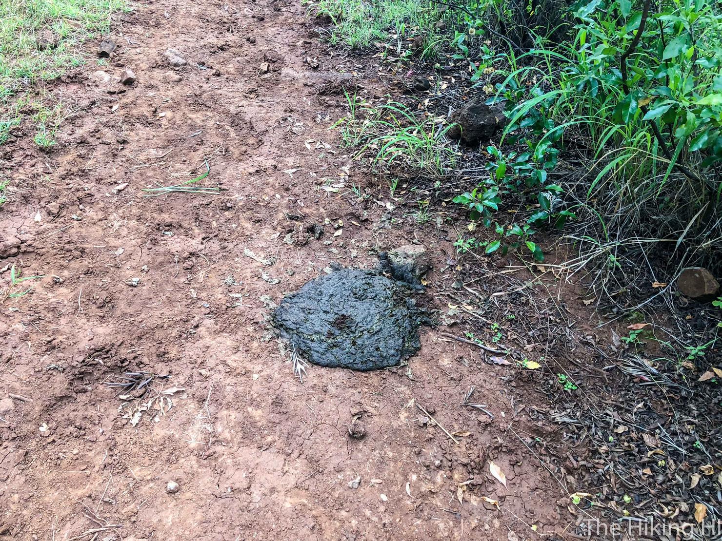
One of many land mines along the road. I'm assuming they were from the horses and there were quite a few of them. Definitely watch where you step!
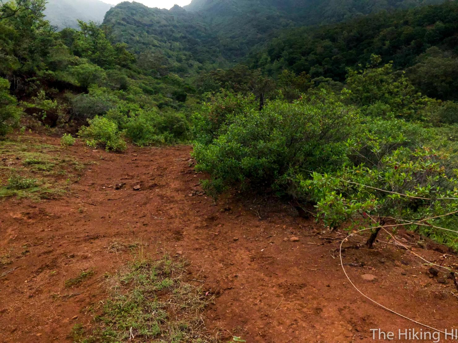
After 30 minutes, you will come to a clearing that seems to have multiple paths. We need to keep heading straight, descending down the valley towards that ridge at the top of the photo. That is Kea'au Middle Ridge.
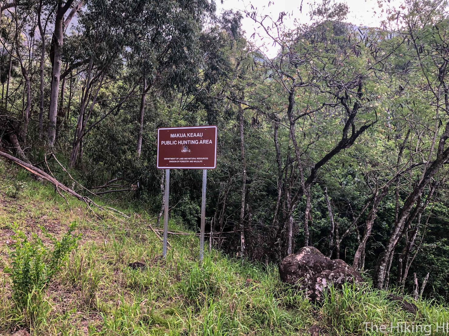
You will quickly come across another hunting sign. This signifies the end of the "road" and the beginning of the "trail"portion.
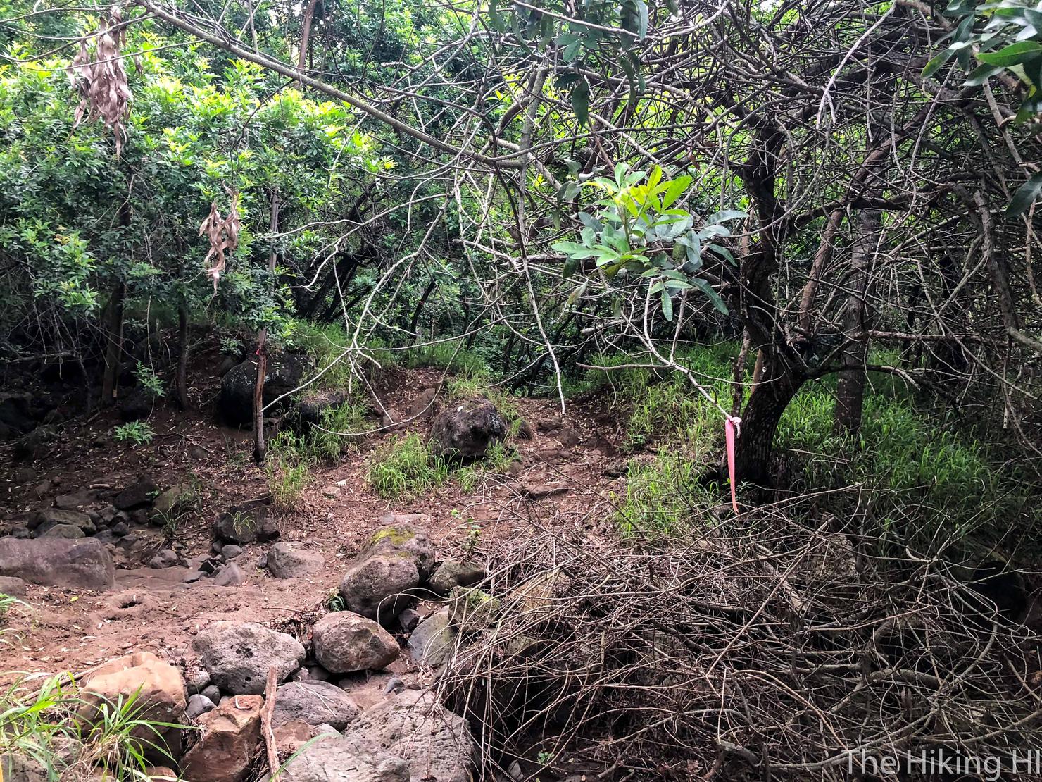
This trail is extremely well marked with ribbons everywhere. Additionally, this AllTrails track is accurate and should reassure you that you are on the right path.
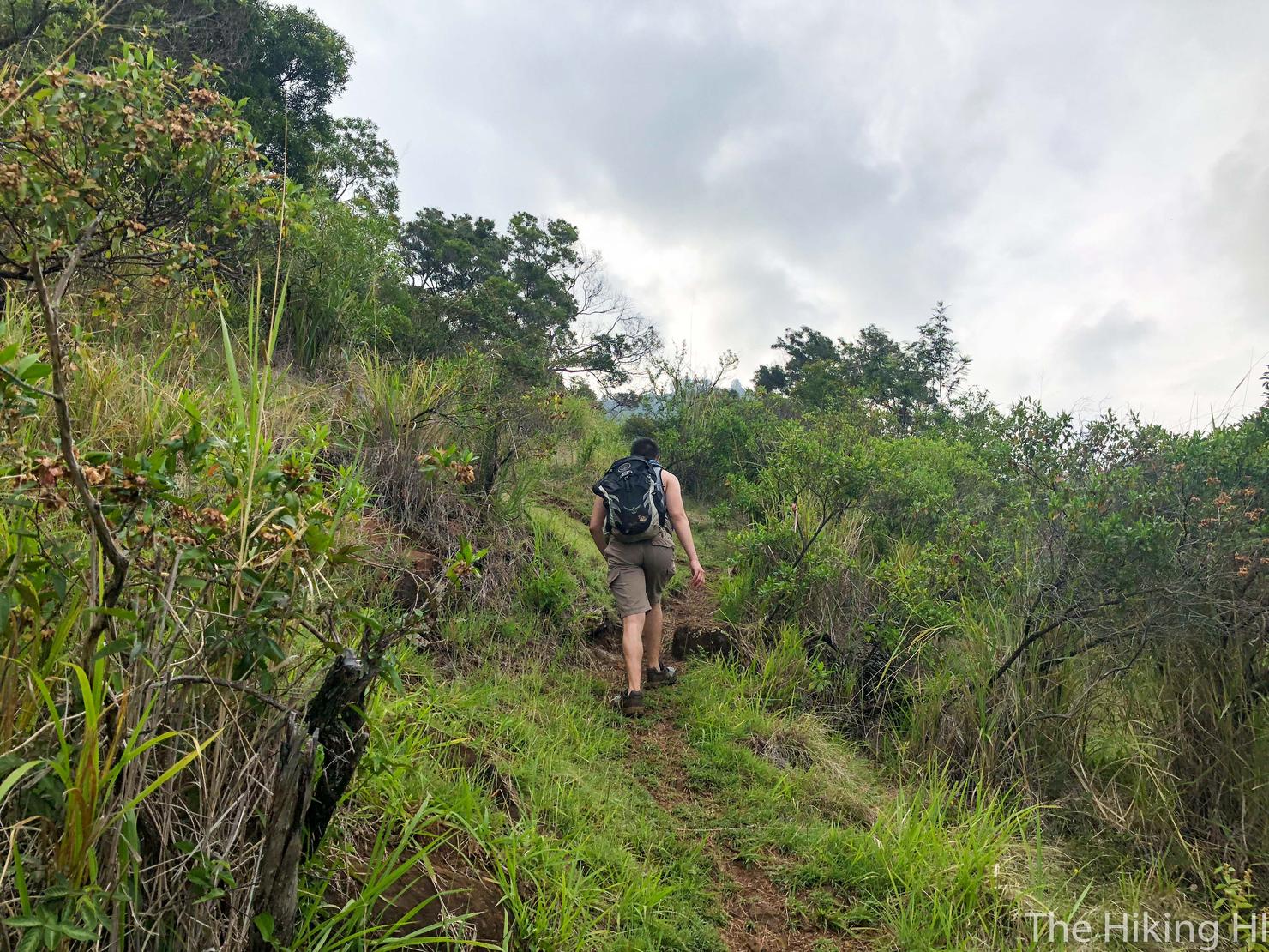
And so begins the ascent to the ridge.
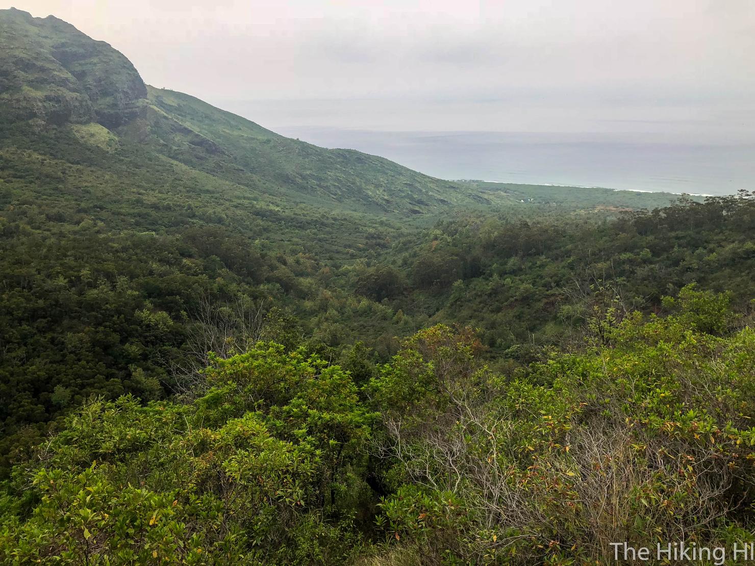
Looking back towards the ocean... which we could barely see. Unfortunately, we did not catch this hike on a clear day. It was extremely gray and cloudy. We actually got poured on during our descent, which made it quite the slippery experience.
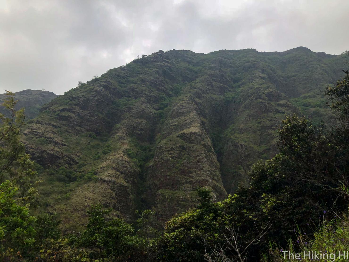
But even if it is gray, I still find this part of the island beautiful. Another look at Ohikilolo ridge. If you catch this in the right light, the colors look very similar to the famous Napali coast over on Kauai. (Check out my Bolohead Adventure for some of these colors).
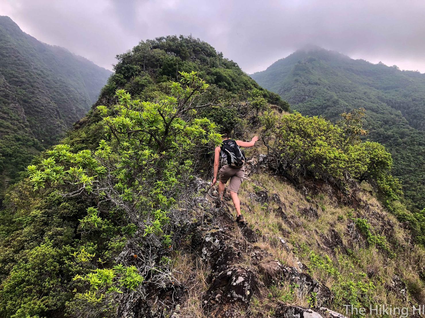
Up and up we go.
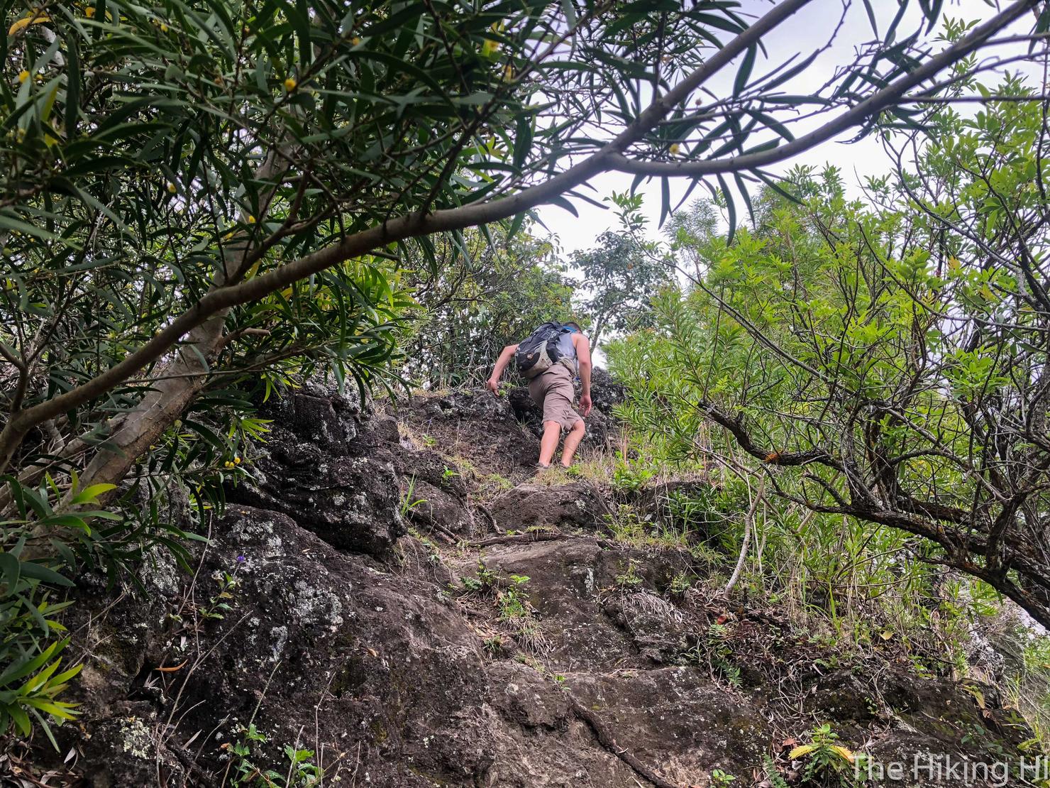
When we will stop, nobody knows?
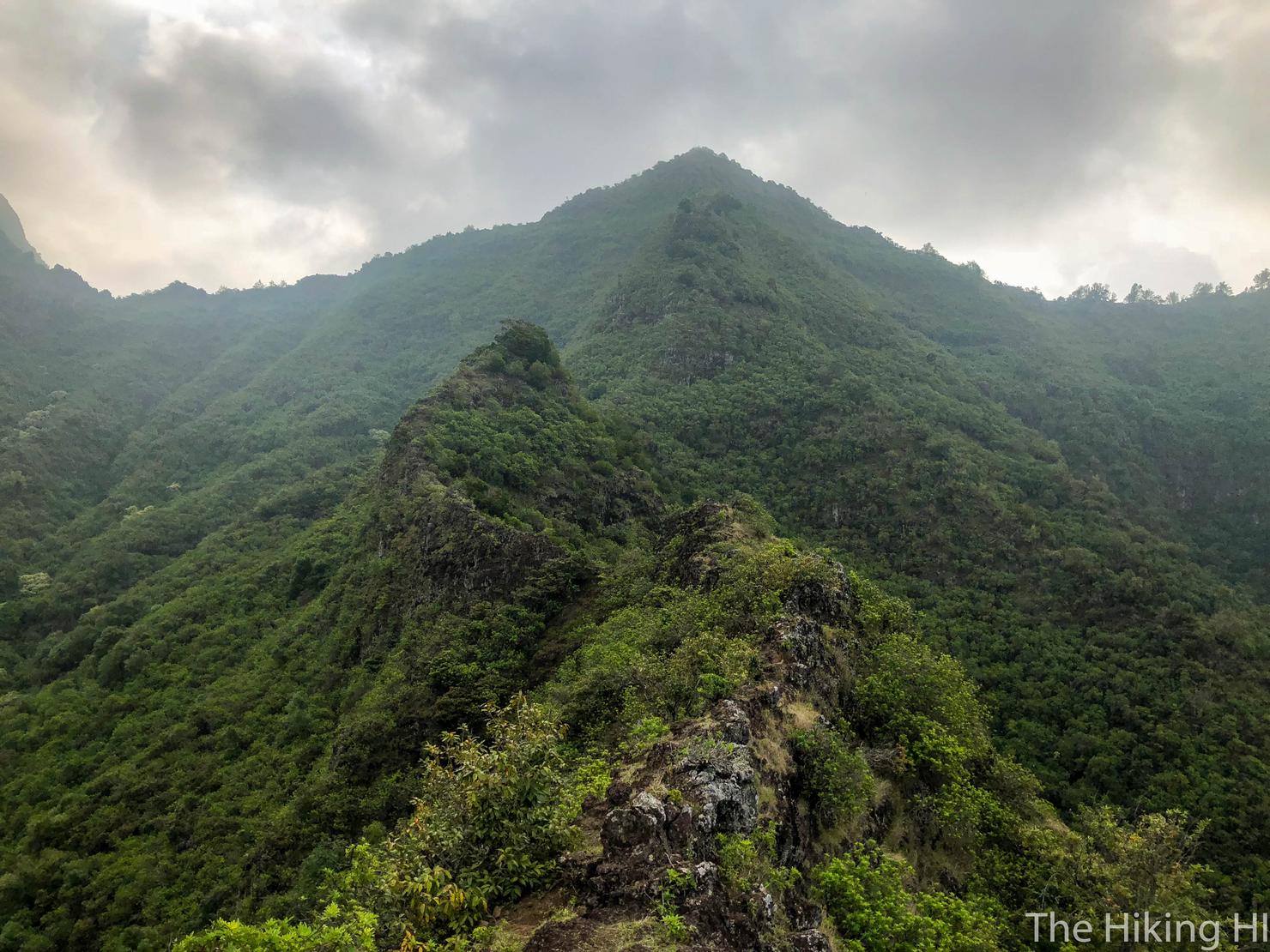
Finally we are on top of the ridgeline. This is when the hike gets fun. It involves rock scrambling along somewhat narrow ridges before we start our final ascent through the trees to reach the peak.
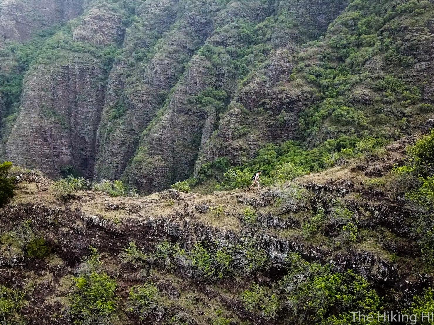
I took this opportunity to play drone pilot as Peter hiked the ridges.
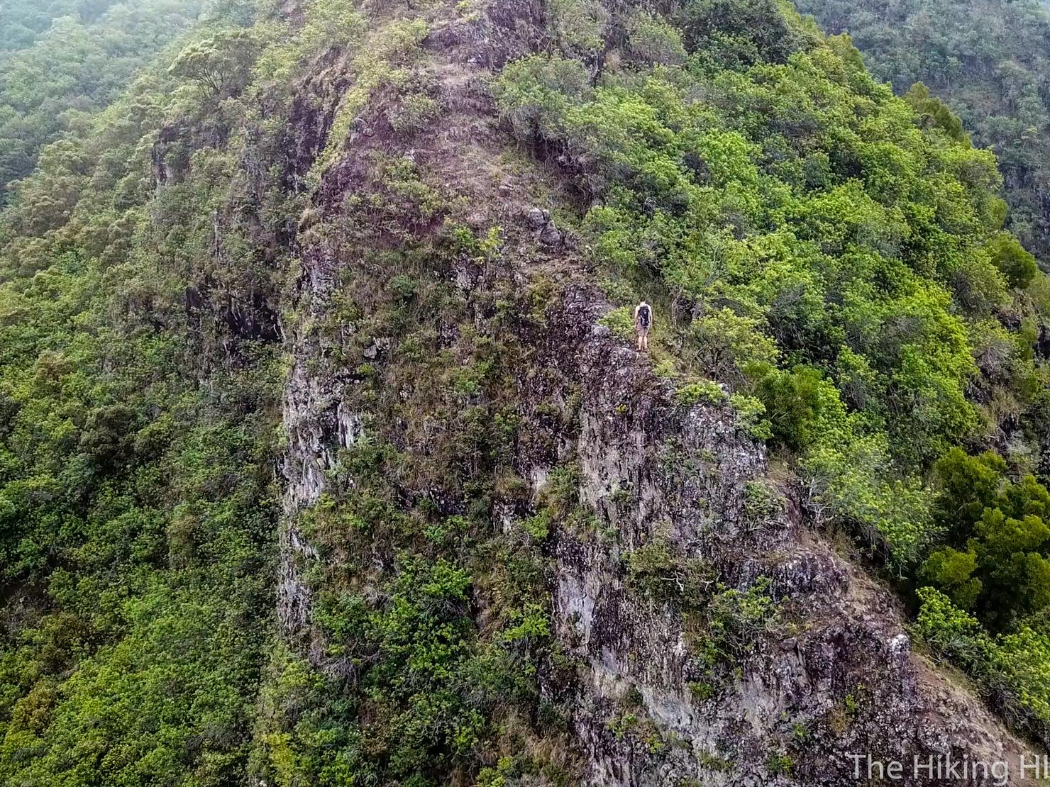
Nothing too crazy for Hawaii standards, but still nothing to sneeze at. I love the sheer dropoffs of these ridges.
Definitely the best drone shot I got of the day. Peter is ascending to the main false peak of this ridgeline. But with the backlighting it gives it a unique perspective. Shots like these are why I take photos.
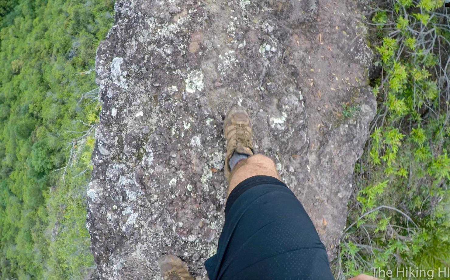
I suppose I have to follow. Like I said the ridge does get narrow at points, but if you've done other challenging Hawaii ridge hikes, you should be fine.
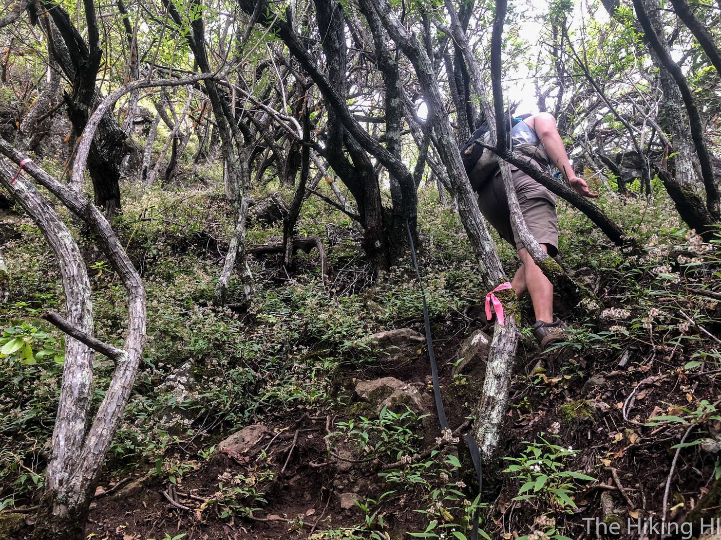
After going down that false peak along a small saddle, we begin the final push to the summit. It's entirely in the trees and gets pretty steep with a few rock scrambles, but it is manageable. It is also completely cleared and very well marked, which is always a bonus.
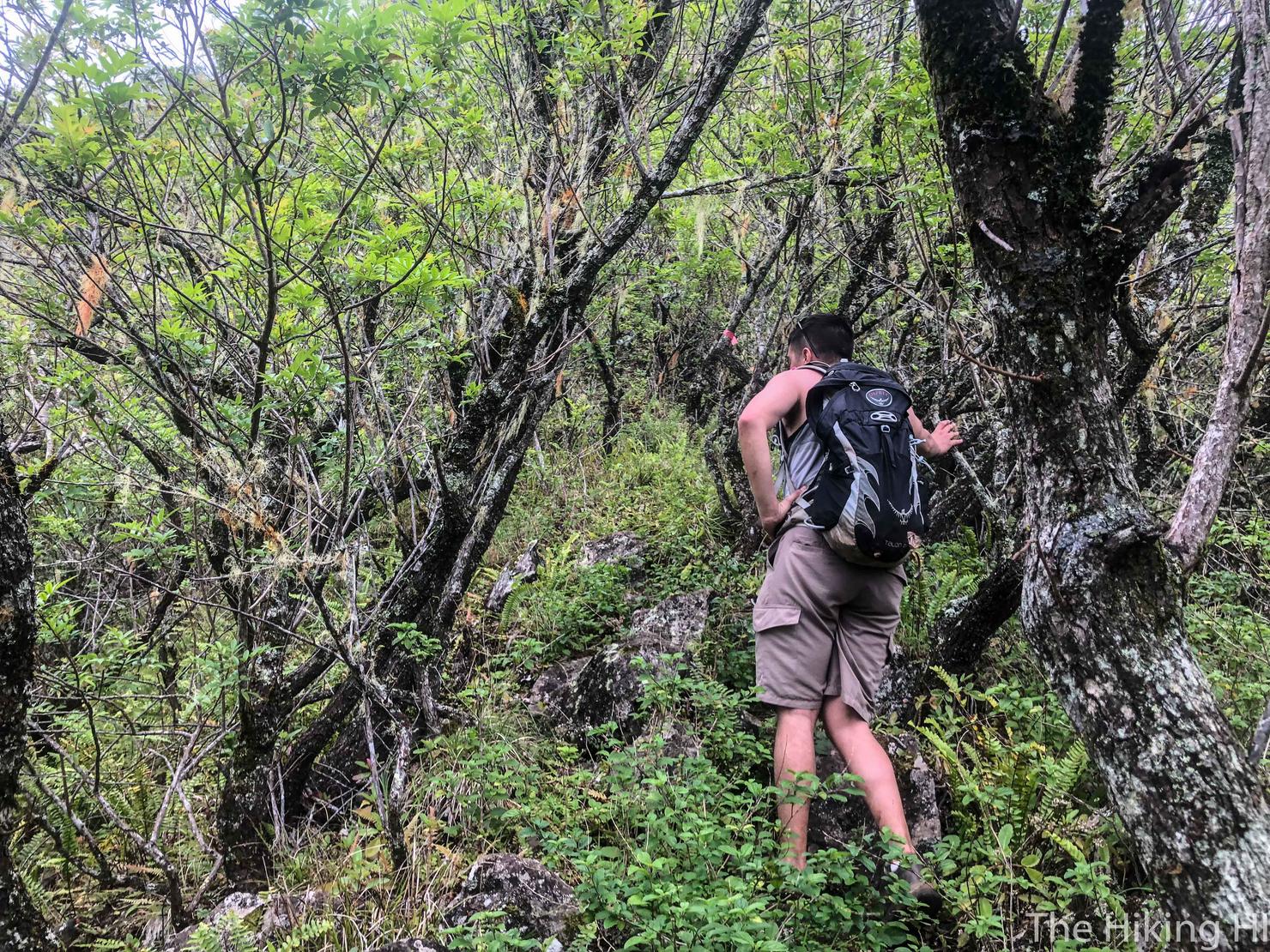
Breathers, however, will be necessary.
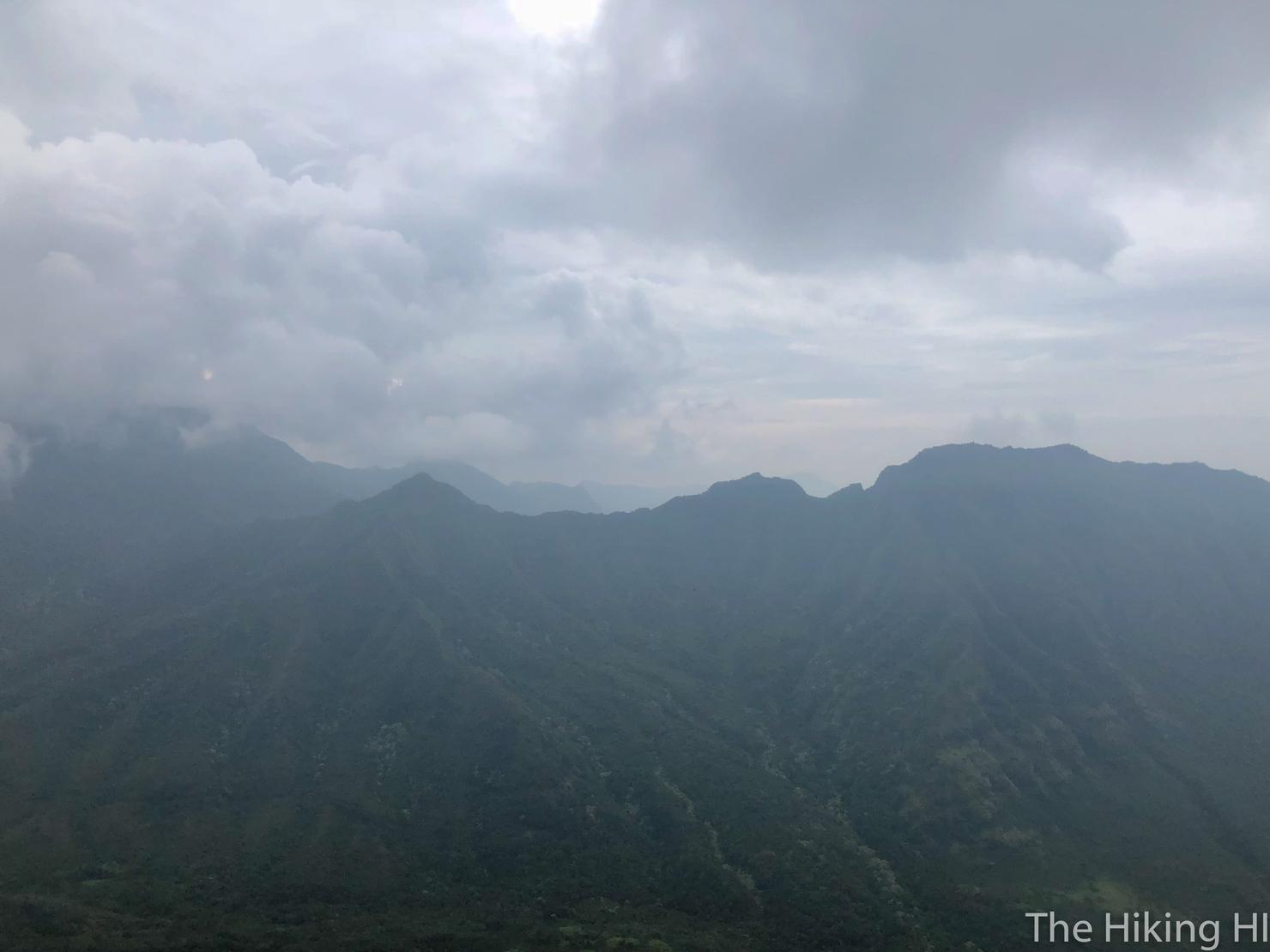
And after about 30 minutes we reached the summit... and it's totally cloudy! Oh well, the clouds weren't really blocking our view, they just changed the colors of the peaks. That ridge directly across from us is Kamaile'unu Ridge, which was where Peter and I did our first extreme hike together.
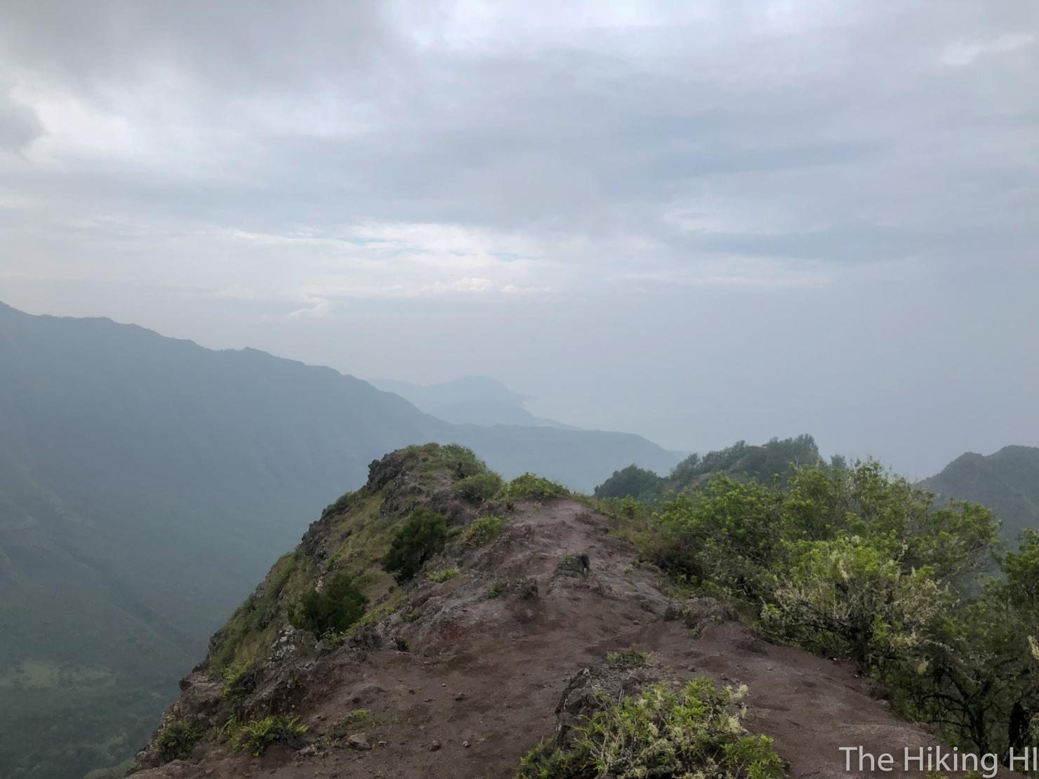
If you look right, you can just barely see the ocean through the clouds. I'm sure on a clear day this view would be spectacular.
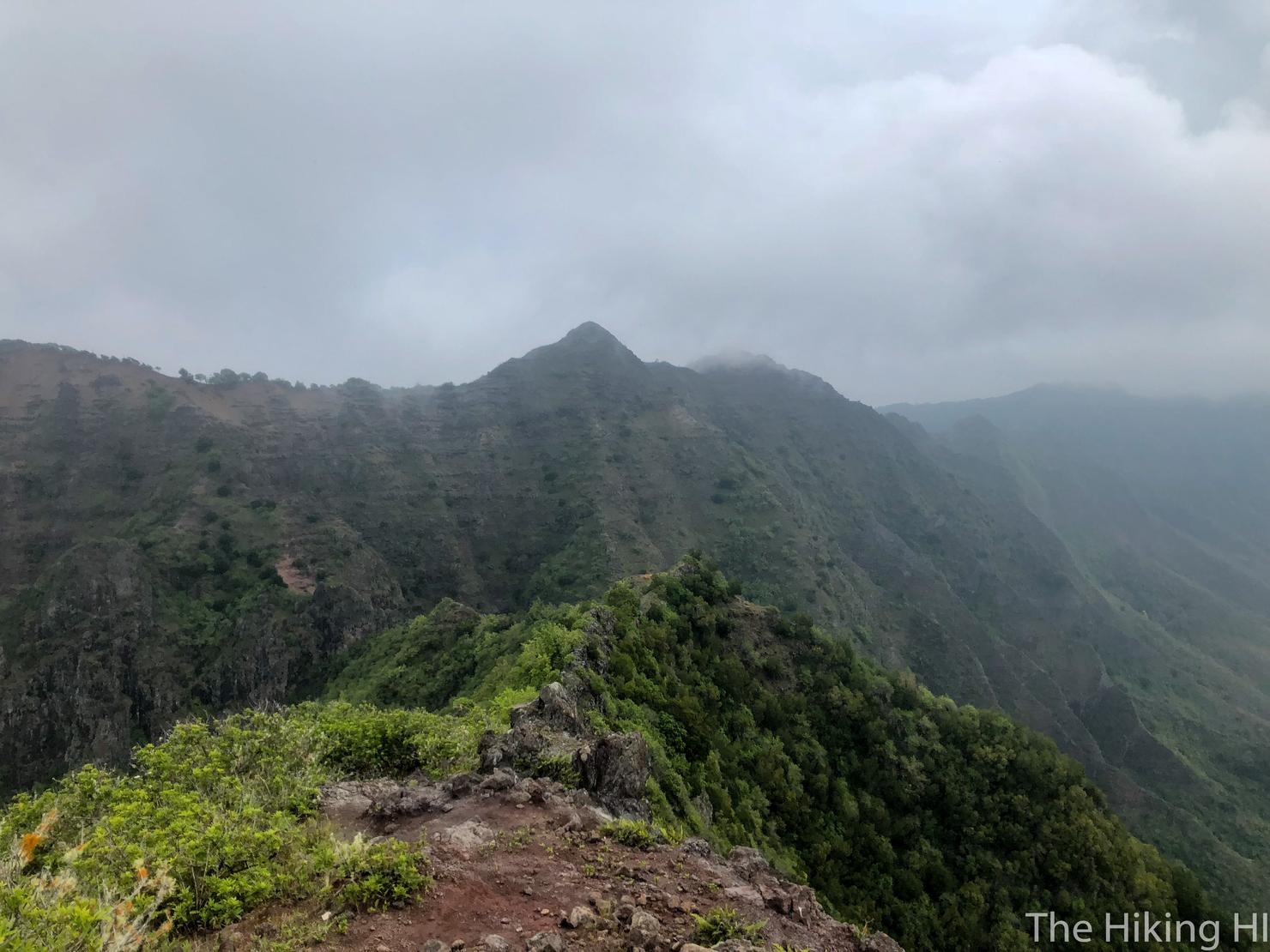
Looking left, you can see the saddle that connects this peak to Ohikilolo ridge.
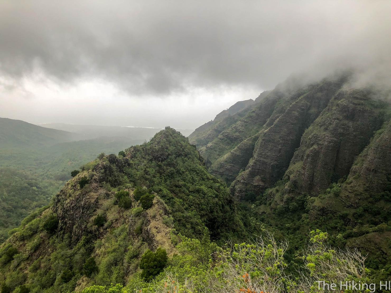
And looking back at what we accomplished.
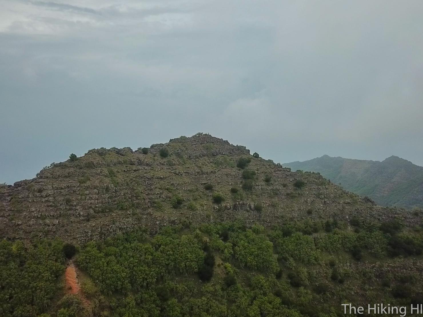
As is now tradition, I took the opportunity to get some aerial shots. Can you spot Peter and me on the peak?
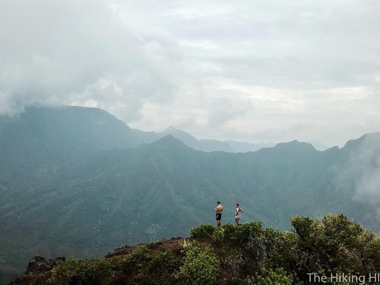
Here's a closer shot. This was a sad moment for me on the ridge. Peter and I had done a ton of hiking together over the past year and a half. But now it was time for Peter to leave Hawaii, and move on with the next stage of his life. It's very possible Peter and I will never hike together in Hawaii again. But it is photos like this that bring us back to those moments that help us cherish those memories.
Also check out my video of this adventure!
