Difficulty: BEGINNER-INTERMEDIATE
Time: 2-4 HOURS
Distance: 5 MILES
Elevation Gain: 1500 FEET
Foot Traffic: MODERATE
Challenges: Shadeless sections, Possibly Muddy
Sights: Makamaka'ole Falls, Waihe'e Valley, Haleakala
What to Bring: Water (>1L), Snack, Sunscreen
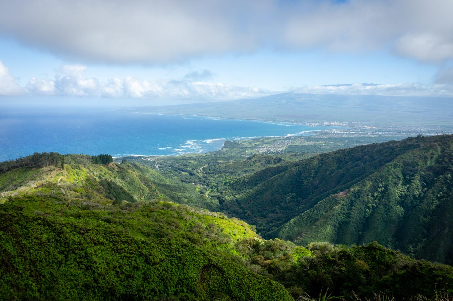
Located in Central Maui, the Waihe'e Ridge Trail is the perfect day hike. It offers a variety of beauty-- from a Cook Pine Forest, to a distant waterfall, to valley views-- as you make your way up the ridge. After finishing the 2.5 mile trek to the edge of the ridge, you can reward yourself with a snack or picnic at the flat lookout, as you take in the unimpeded views of the valley and Maui's coastline. If you are a trekker visiting the Valley Isle, this is a trail you won't want to miss.
4 scuba dives and 4 hikes later, the last activity of my Maui trip awaited--the Waihe'e Ridge Trail. And what a perfect hike to end it on. I had actually hiked this trail once before during my very first island hopping trip three and a half years ago. Unfortunately, the weather was not good that day, with rain and clouds blocking my views. So I decided it was worth a return trip to see if just maybe I could get some of those views that make this hike so popular. This time, I was not disappointed.
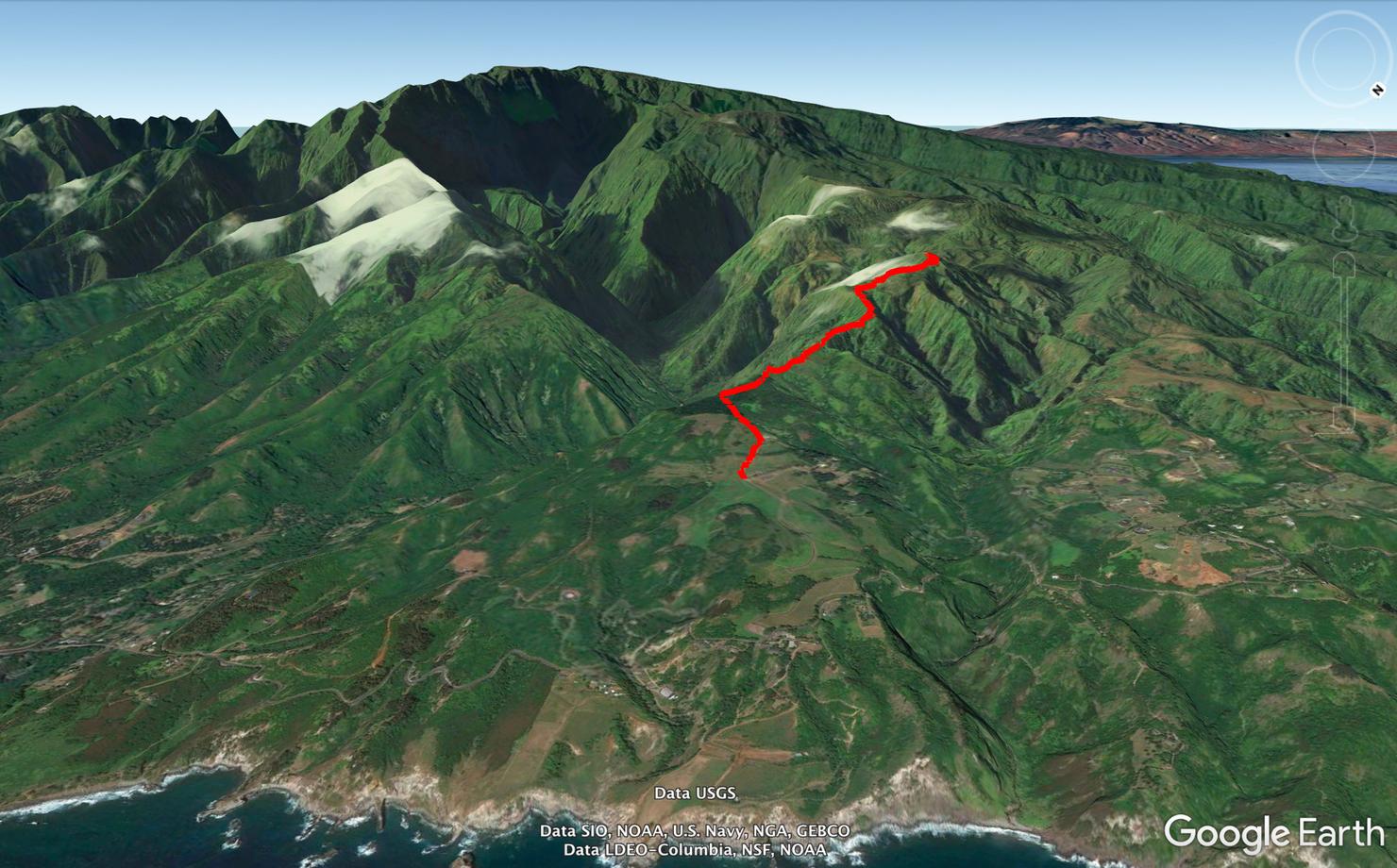
This trail is straightforward, simply follow the ridge all the way to the lookout point.
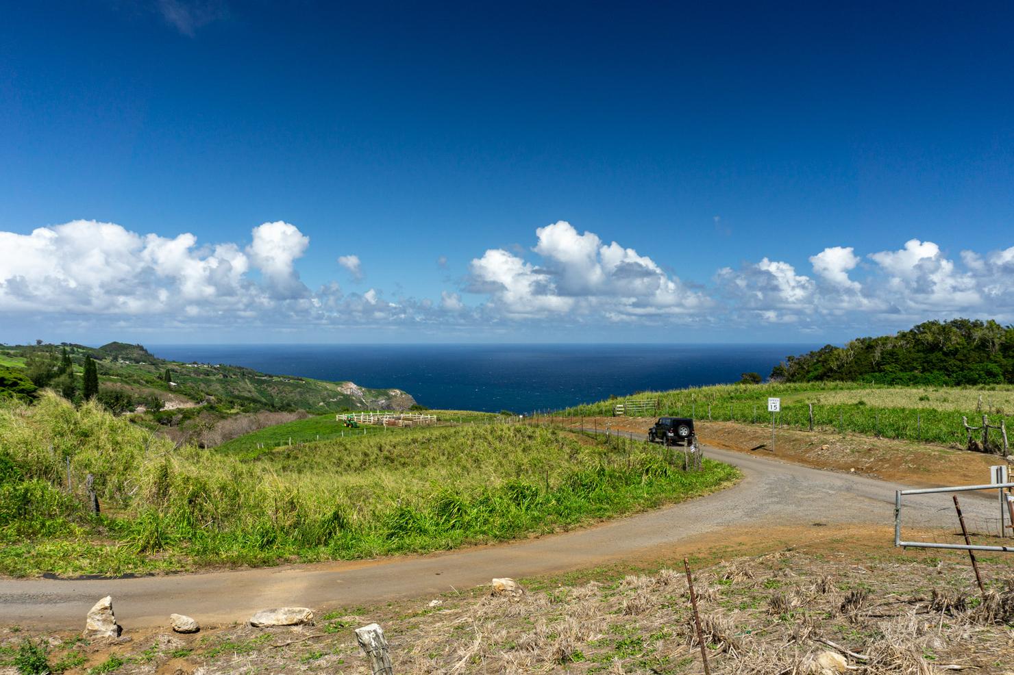
The most difficult part is getting to the trailhead. It is located on Maluhia Road off the Kahekili Highway. Maluhia Road is not the most fun road to drive on--it's steep, windy and at some point it is so narrow, you would have to pull off the road to allow an oncoming car to pass. Seriously, it's the scariest part of the hike!
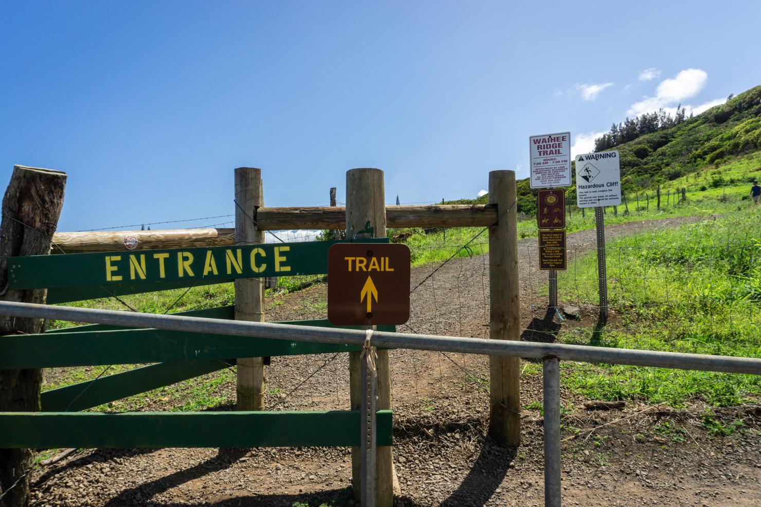
But luckily, that's only a minor obstacle to overcome in order to unlock the beauty of this hike. From the parking lot, you will see an obvious opening in the fenceline that marks the trailhead. After squeezing through the opening, you can begin the hike.
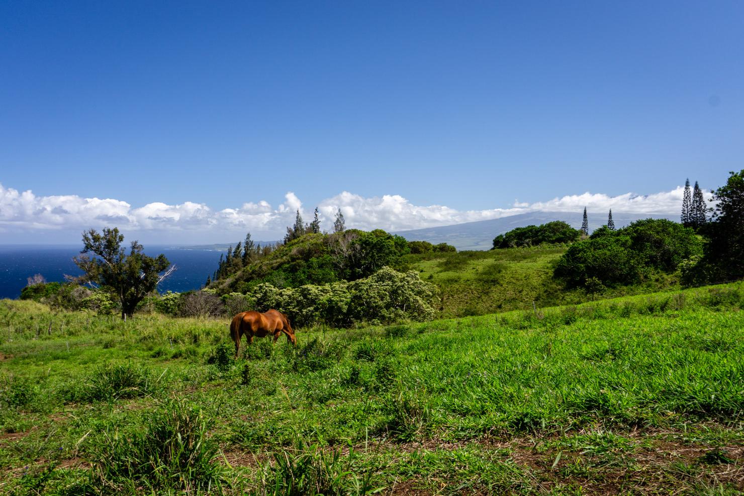
And you get some great views right out of the gate. Looking left, you can already see one of the main landmarks of the hike, the 10,000 foot Haleakala Crater. I gotta say, this horse really has some prime real estate.
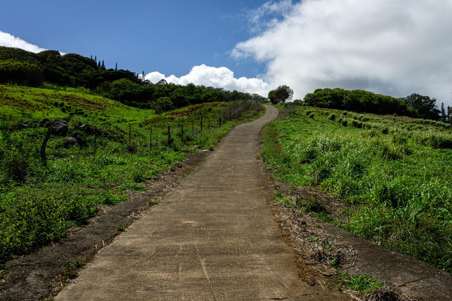
Hopefully you didn't just eat a loco moco for lunch, because this hike gets started right away with a nice steep uphill on this paved road.
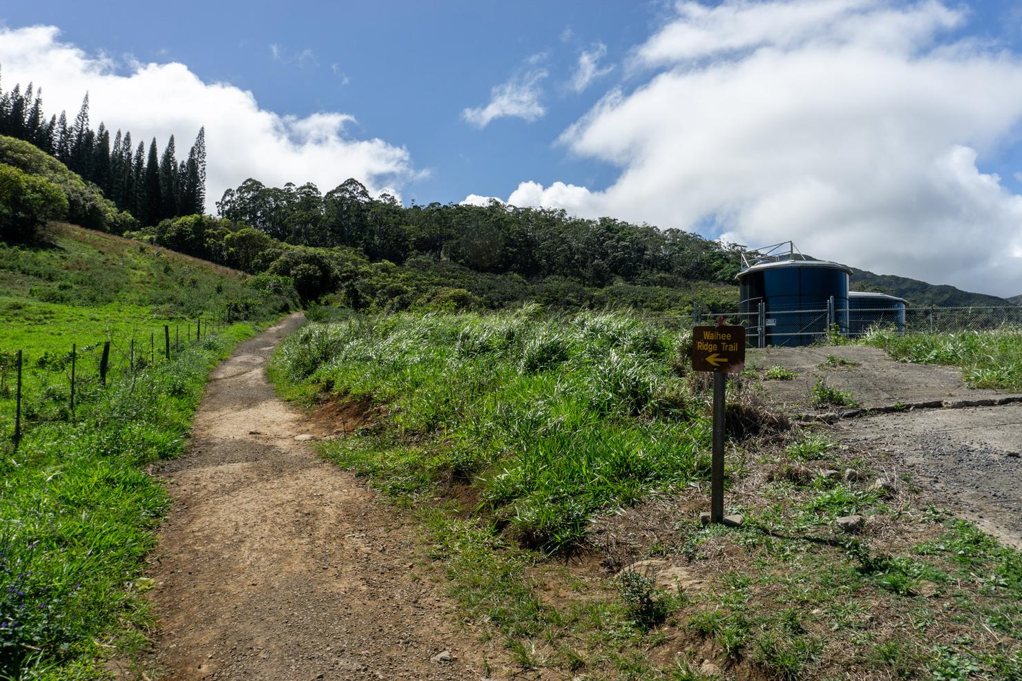
Luckily the road is not too long, so you won't totally wear yourself out. When the road ends, follow a fork to the left that leads you into the trees.
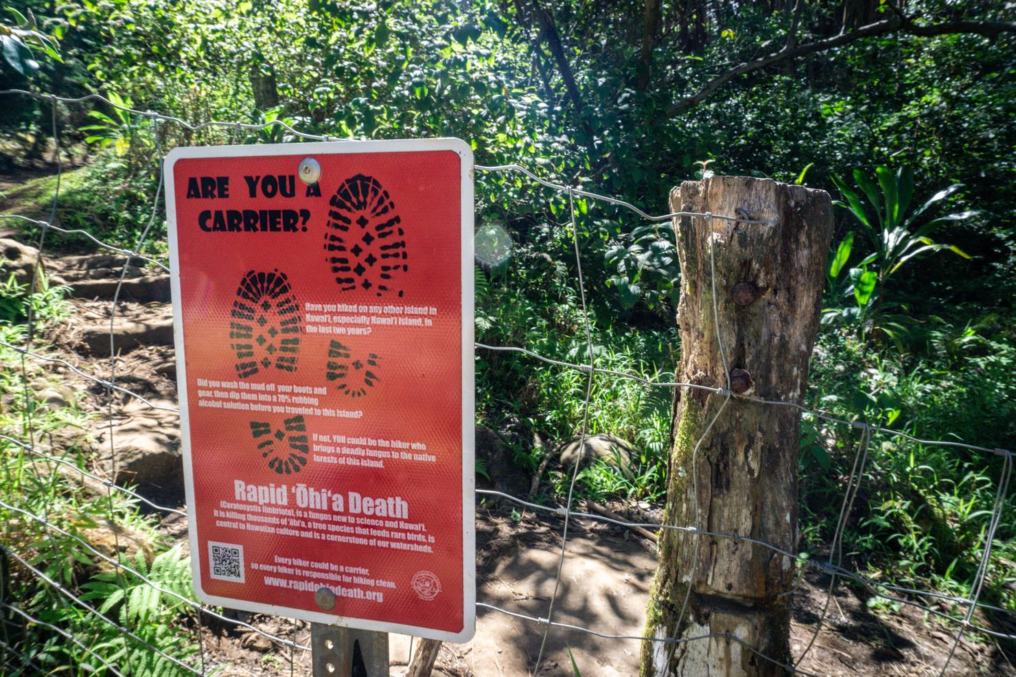
And after going around another fence, you will be on the main trail.
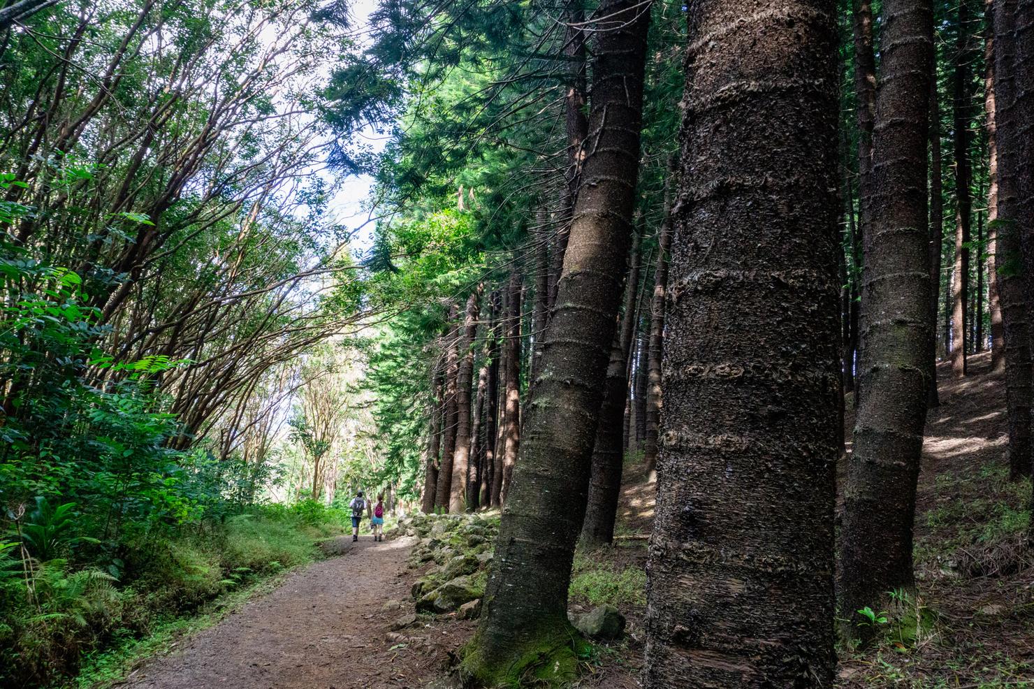
Soon you will come across one of the trail's first highlights, the Cook Pine forest. These imposing pines, which are prevalent across many of the Hawaiian Islands, always add a little bit of extra beauty to any hike.
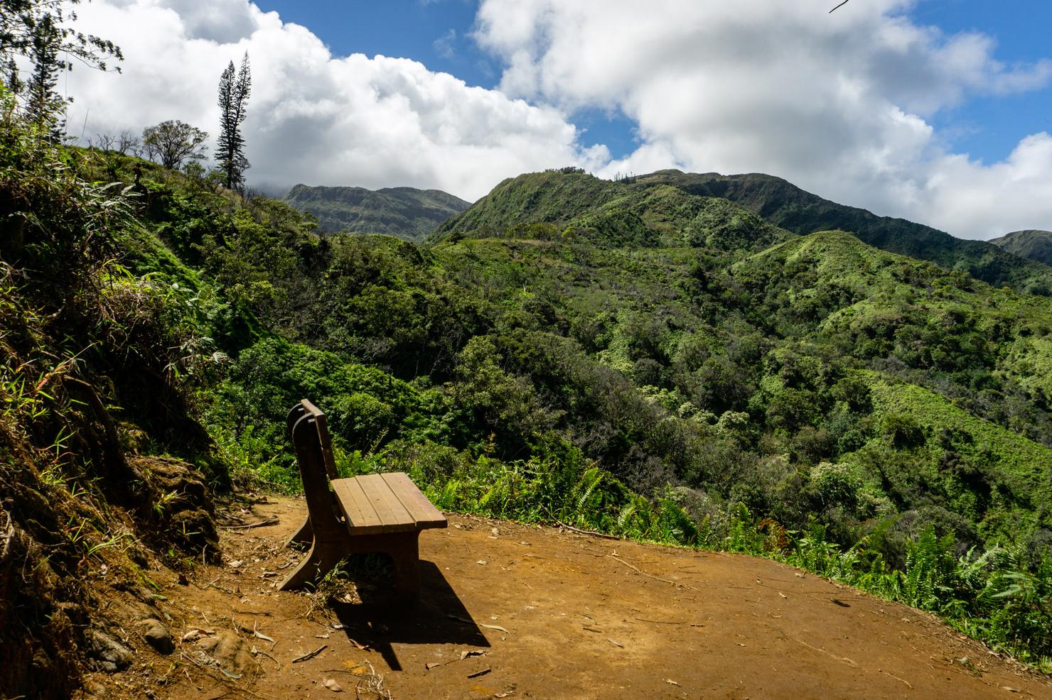
After 20ish minutes, you will arrive at this pleasant little lookout. Take a seat on the bench and look out into the distance.
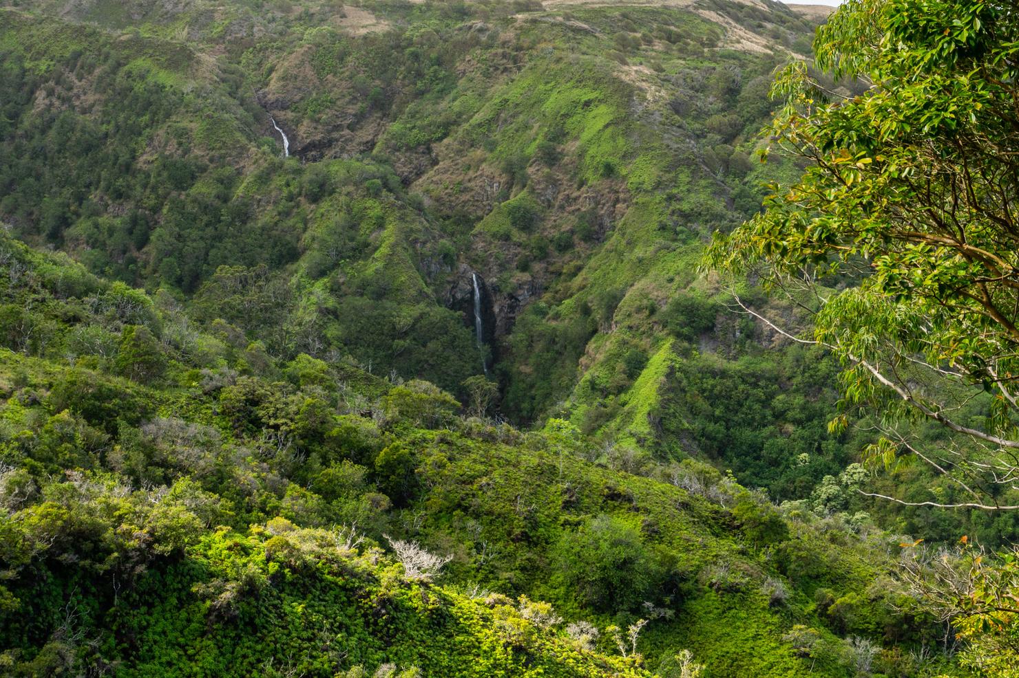
And you will get a great view of the 260 foot Makamaka'ole Falls. You can actually hike to the base of these falls on the nearby 13 Crossings Hike (literally where I just came from) if you want a more intimate experience.
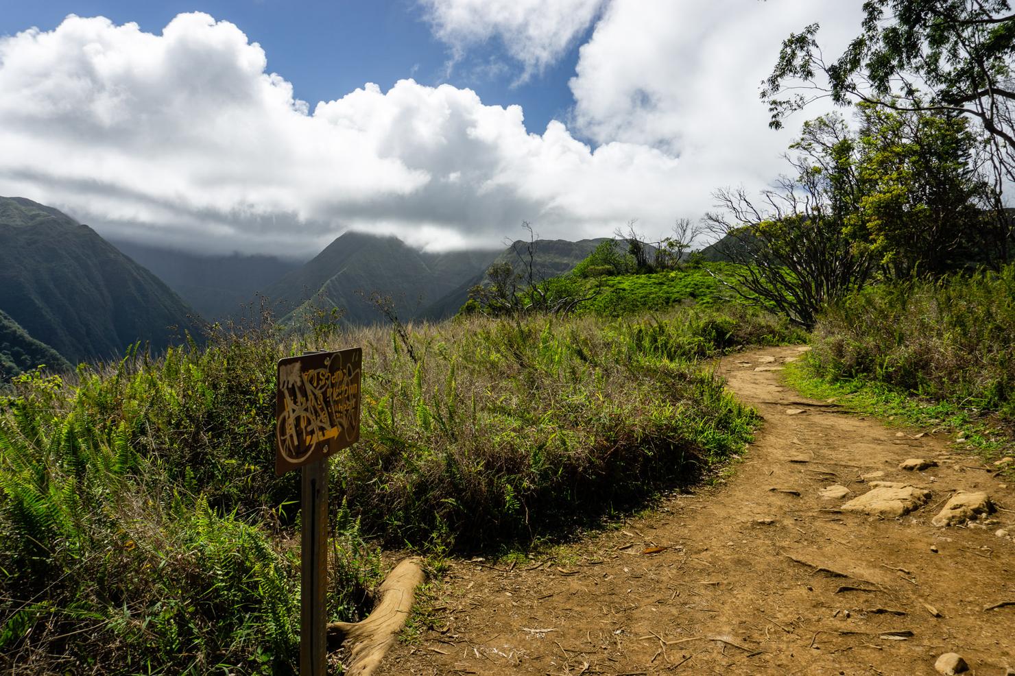
Soon the trail leaves the trees and the hike will begin to look more like a ridge hike.
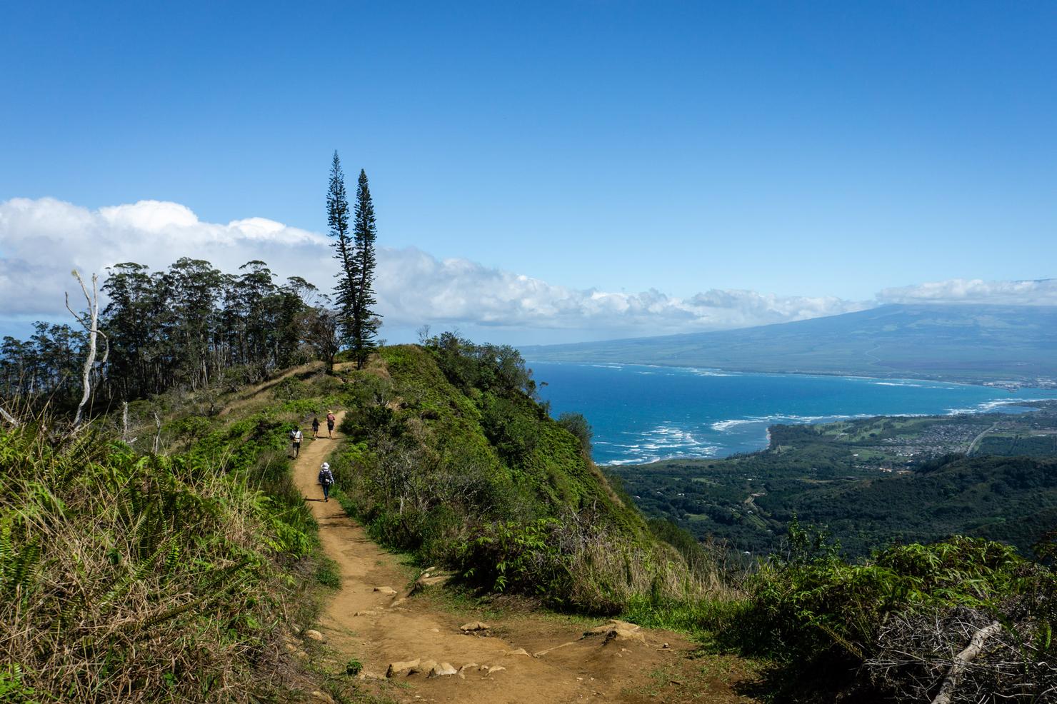
And it really is a beautiful ridge. Since it is ungraded with little tree cover, you get great views most of the way up. Here we are looking back towards Central Maui and Haleakala Crater.
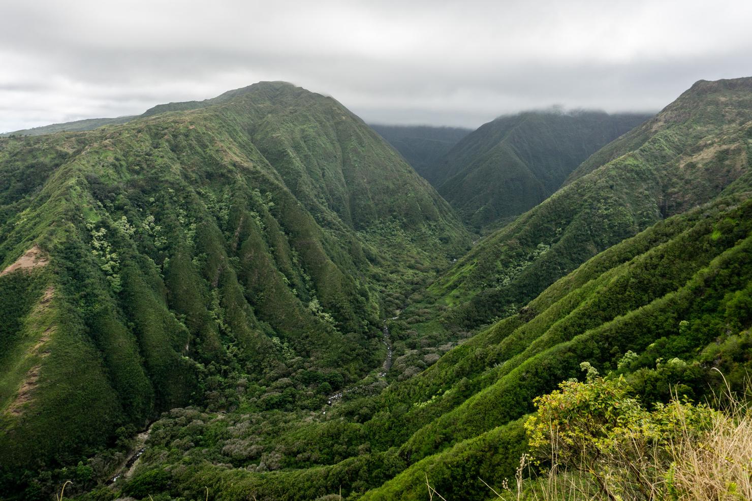
It also offers epic valley views. Surprisingly, there aren't many hikes in Hawaii that allow you to look down into a valley and see a flowing river (at least not many I've done). On this hike, however, you have a great view of Waihe'e River as it snakes its way into the valley.
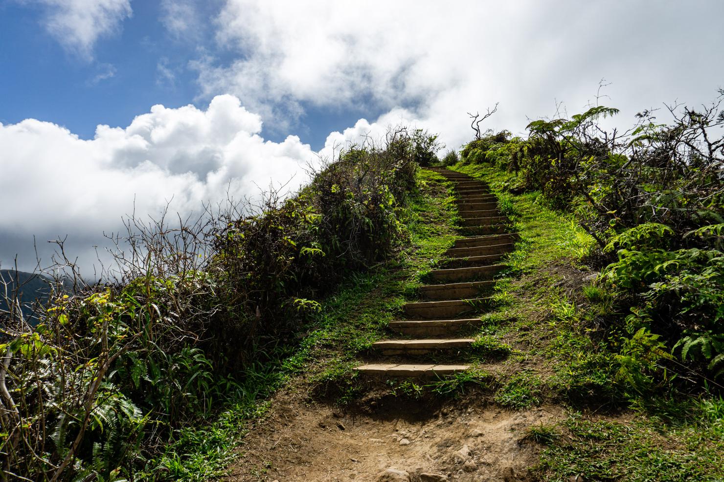
We still have a bit of distance and elevation left to reach the lookout. The most efficient way to get there is with some stairs #legday.
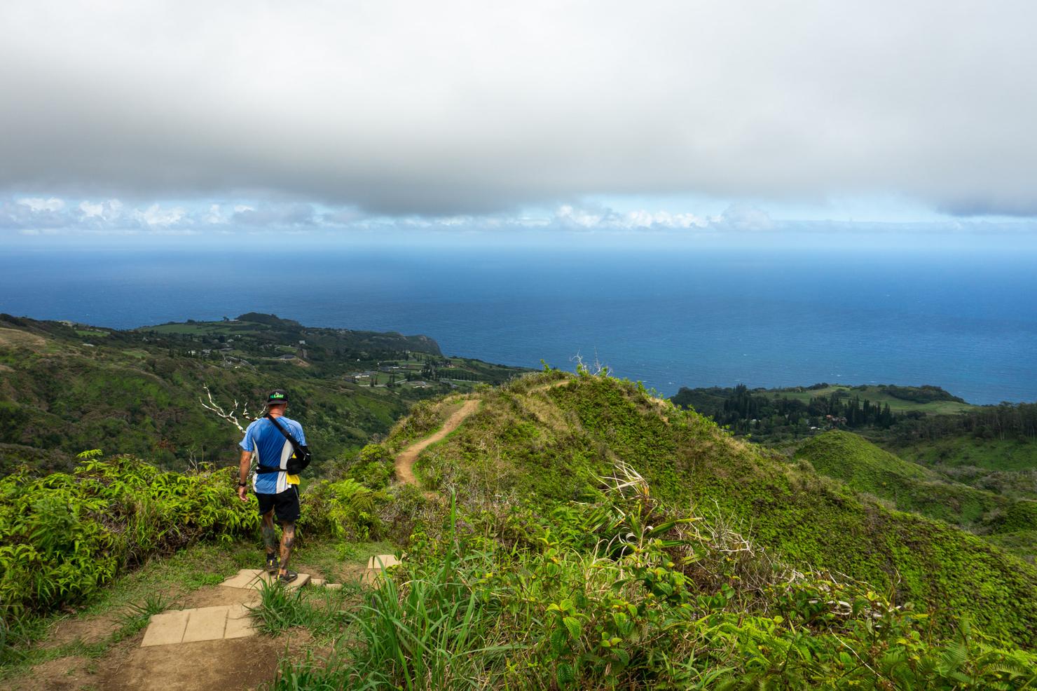
But that little leg burner is worth it. You will be rewarded with this awesome view at the top.
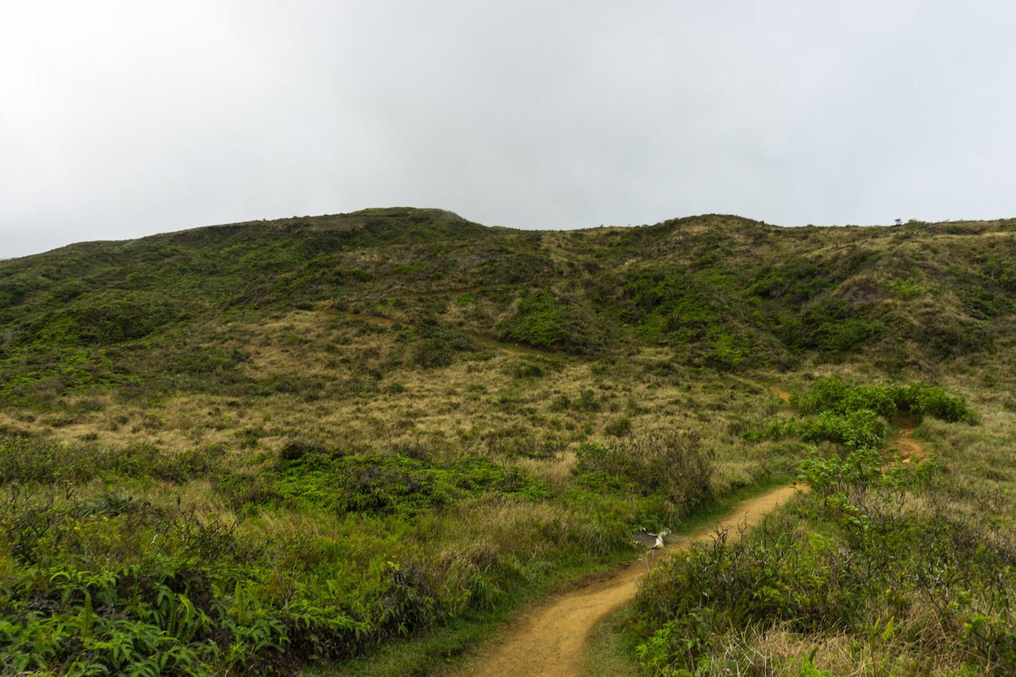
Sadly, those stairs are a "false peak" of sorts. We still have these switchbacks to climb to get to the main lookout.
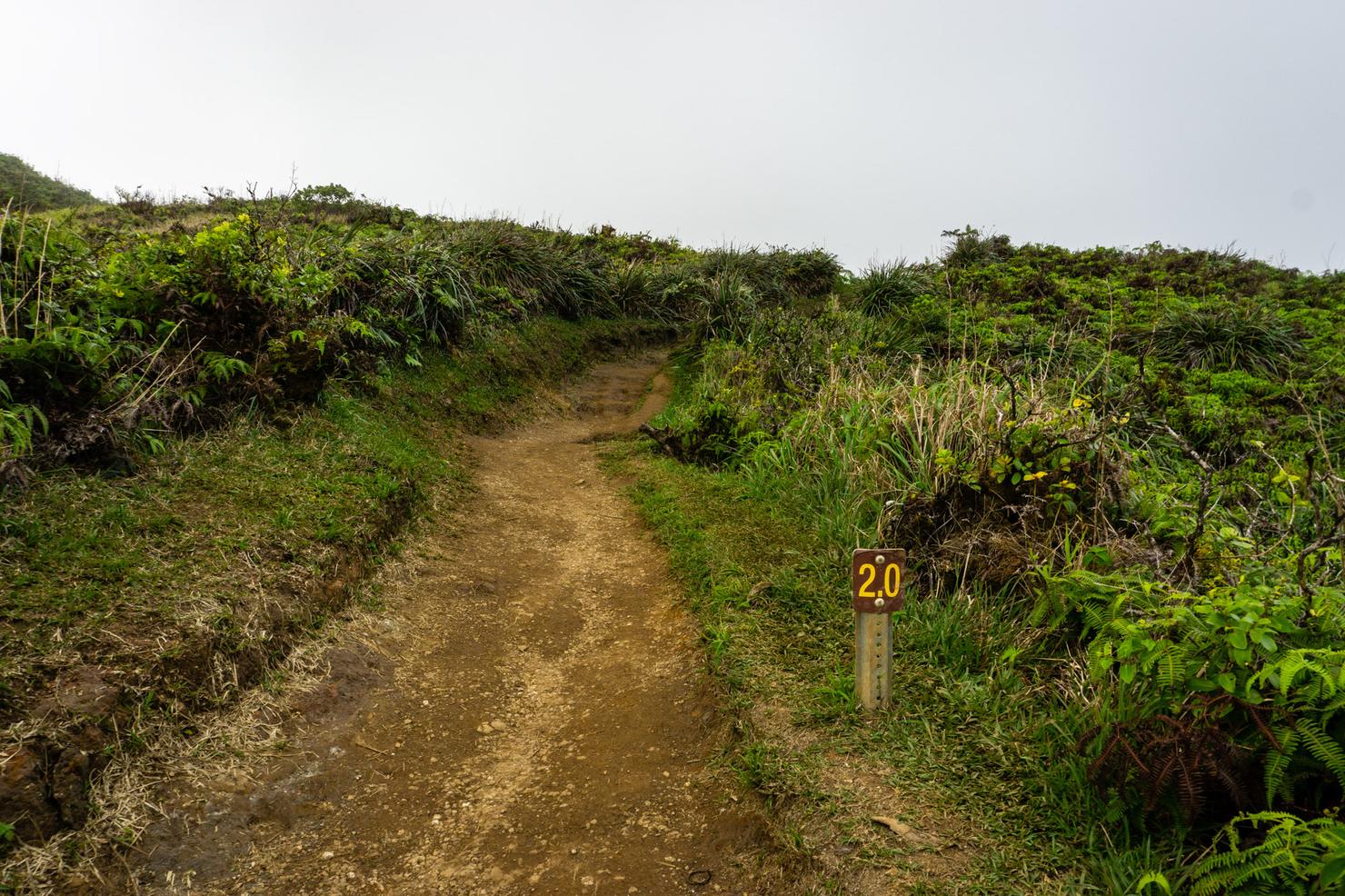
But at least we are getting our steps in.
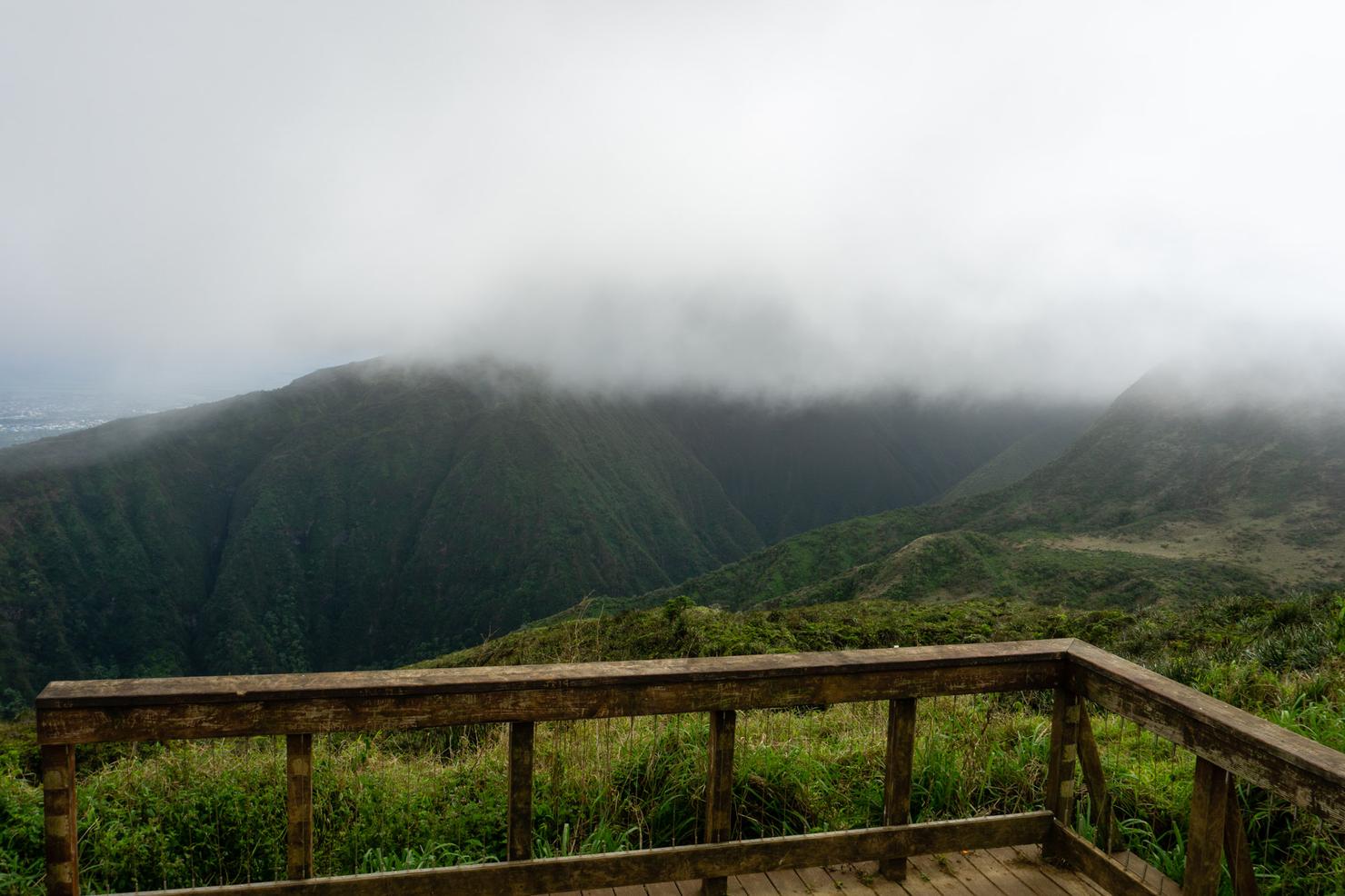
After an 1.25 hours I reached the lookout, which is marked by this open wooden platform and picnic table. The clouds were a bit low, so I couldn't see the peaks of the West Mountain Range. In order to beat the clouds, it's best to do this hike on the earlier side. Even with the clouds, the views of the valley were quite impressive.
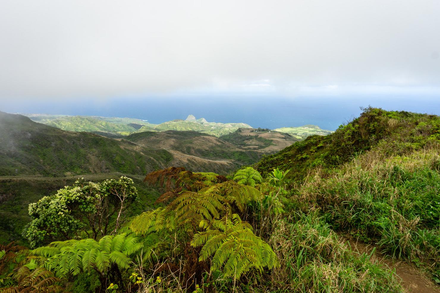
And there's more than just valley views. Looking north, you can see the adjacent ridges and their varying shades of green.
And then looking back towards the start of the hike, you have views of the ocean, Haleakala, and beyond. A perfect bookend to closeout the first island hop of 2020. Now I just need to find a beach shower so I don't stink up the plane on the way back to Oahu...
