Difficulty: INTERMEDIATE
Time: 4-6 HOURS
Distance: 5.2 MILES
Elevation Gain: 2200 FEET
Foot Traffic: LOW
Challenges: Overgrown, Muddy, Some Narrow Ridges
Sights: Diamond Head, Honolulu, Koko Head, Windward Side
What to Bring: Water, Snack, Sunscreen, Long Pants
This ridge, located near Honolulu, is a moderate loop hike that connects two ridges of the Ko'olau Mountain Range. You begin on the unmaintained Wailupe Ridge, where you will gain elevation and forge through some brush, before reaching the Ko'olau Summit Trail (KST), where, if you are lucky, you will be rewarded with views of both sides of Oahu. From here you will use the KST to connect to the summit of Wiliwilinui Ridge Trail via the KST, the long and narrow ridge that runs the entire length of Oahu's windward coast. After, you will descend Wiliwilnui before descending back into Wailupe valley to your starting point. This is a great alternative for people looking to get a physically challenging ridge hike without all the crowds.
It's been a bit since I've done a new hike on Oahu. With work picking up and a few spontaneous trips, I've had some trouble finding a weekend to get in a new hike. Luckily on this particular Saturday, I woke up feeling well rested, ready to tackle something new. With a quick perusal on AllTrails, I stumbled on this hike, Wailupe Loop Trail. Always up for a trek to the KST, I grabbed my bag and headed out.
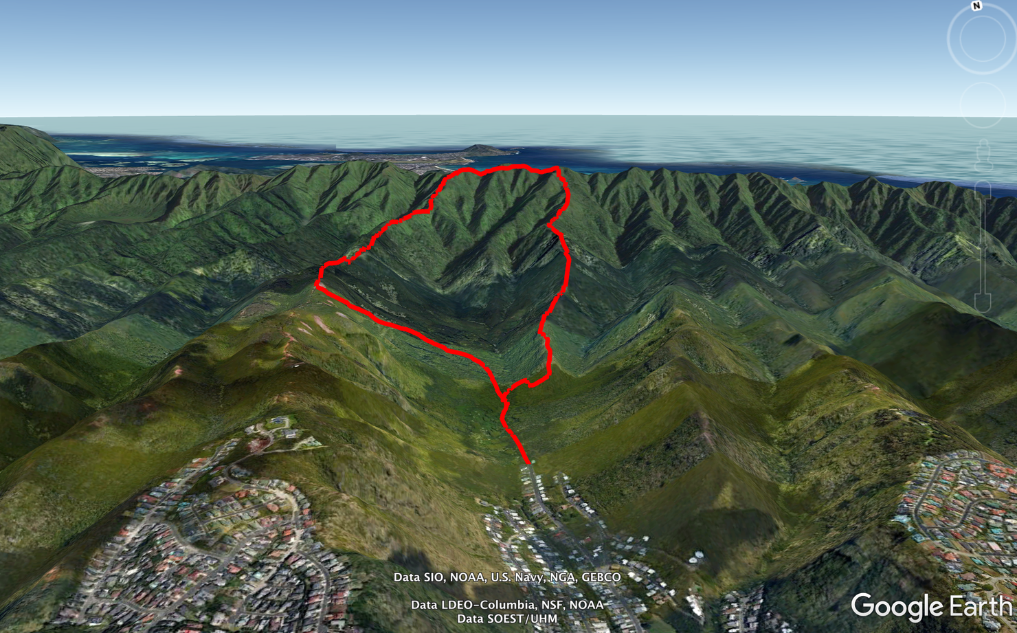
The loop starts in Wailupe Valley before ascending Wailupe Ridge. You then connect Wailupe to Wiliwilinui Ridge with the KST. Next, you go down part of Wiliwilinui, before cutting back down to the valley. Seems pretty straightforward, but as I've shown many times there is always potential to get lost...
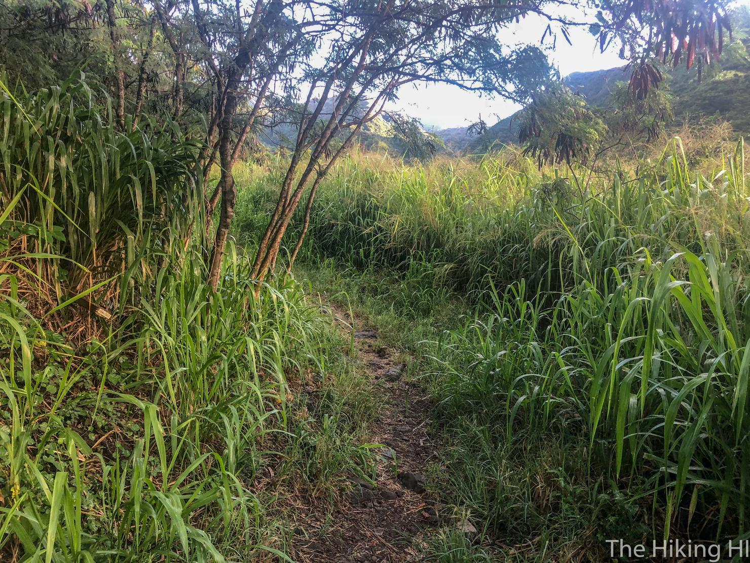
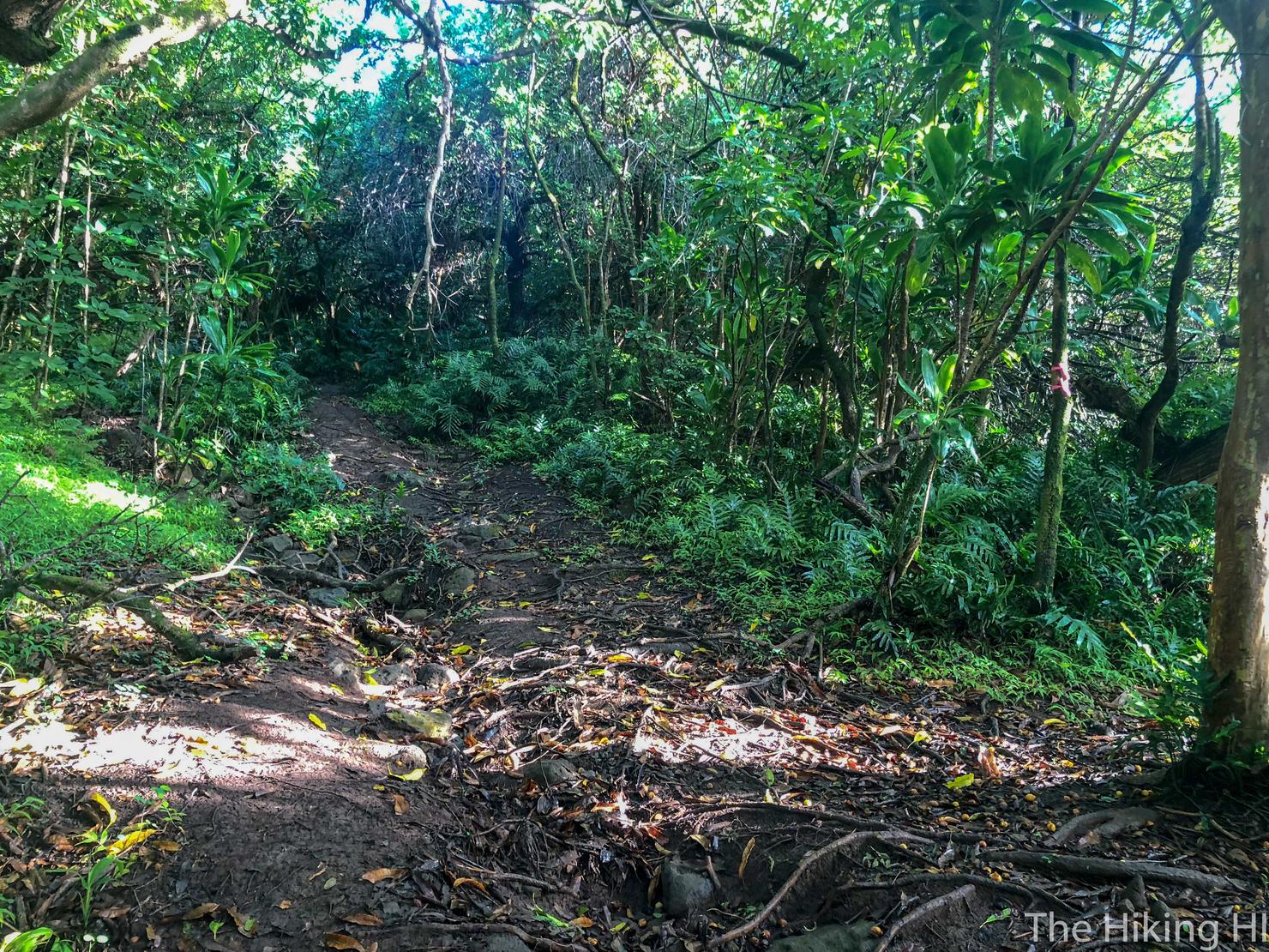
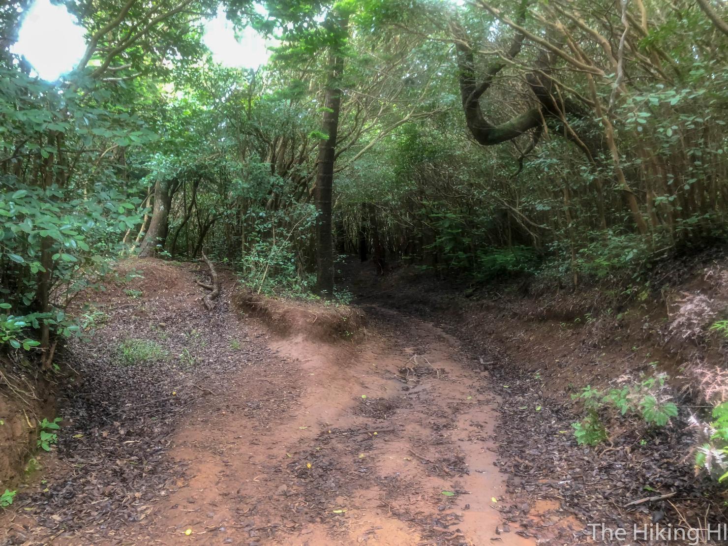
The hike begins at the end of Hao Street. Getting to the trail is a bit strange as you basically go through an opening in the bushes at the very end of the road. However, there is nothing illegal about this hike. After you whack through those bushes, it will spit you out on a trail that looks like this.
Great to be back on the trails again on this cool and damp morning.
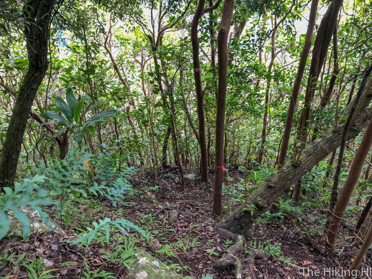
After roughly 15 minutes, you will reach a fork in the road marked by the two pink ribbons on that skinny tree.
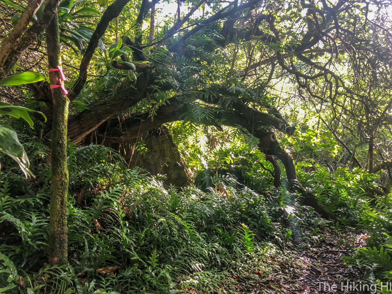
A closer shot of said ribbons. Follow the path right and downhill. This is the way to Wailupe Ridge. Going left would lead you up to Wiliwilinui Ridge. You could do this loop either direction, but Wailupe Ridge is the tougher of the two ridges since it is less trafficked and not maintained. Since I am a fan of more pain at the beginning of the hike, this is the ridge I would be tackling first.
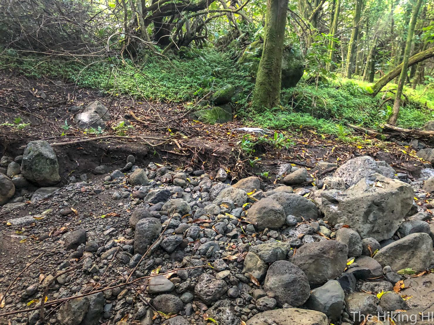
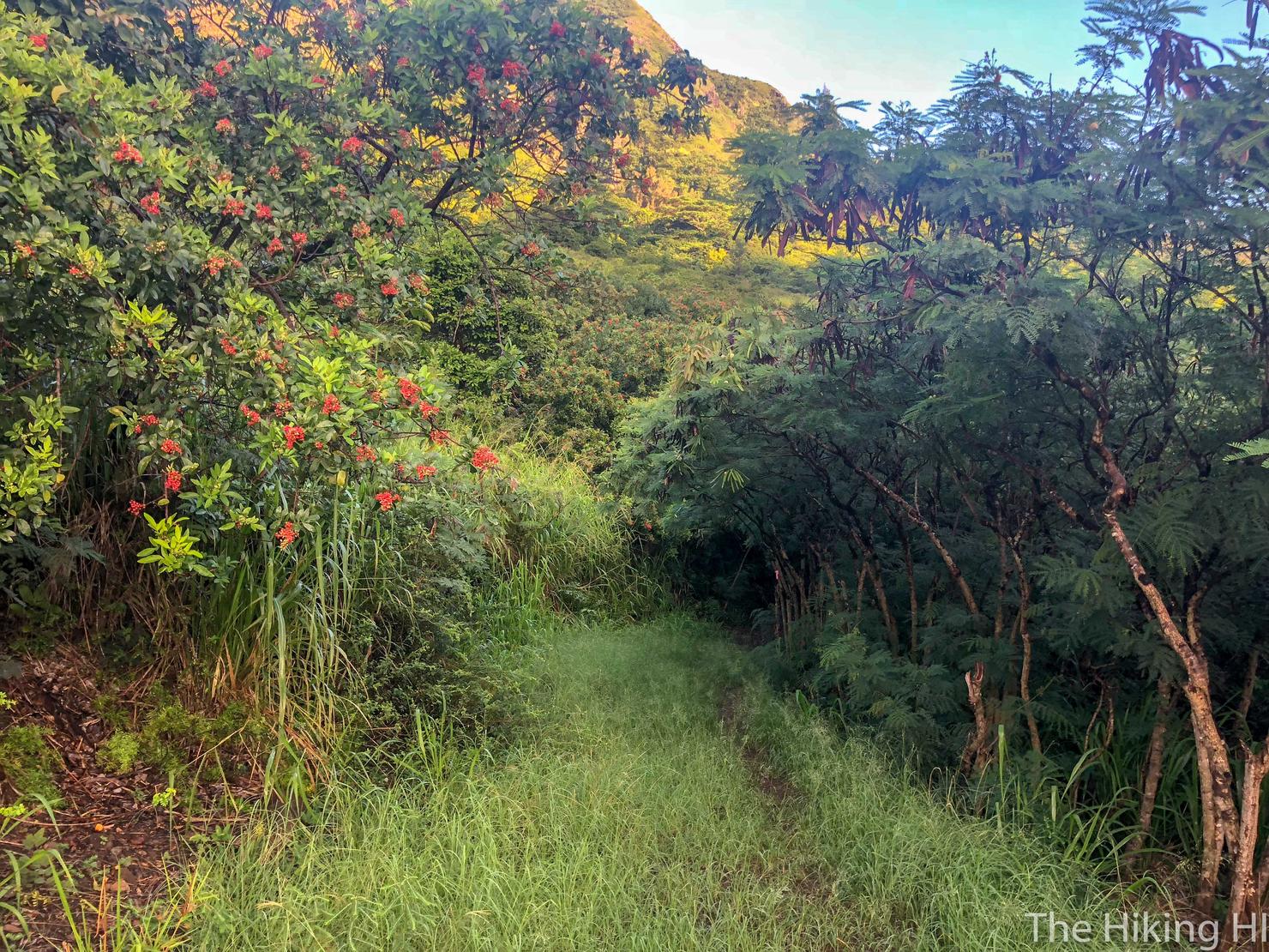
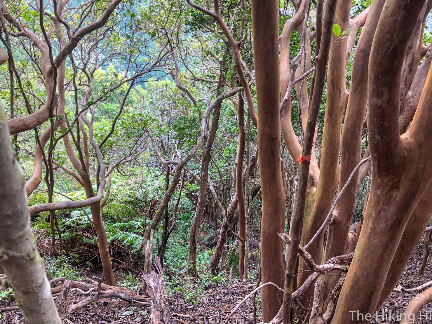
After the fork, you will continue to wander through the forest a bit, but there are markers to guide you.
And finally you begin your ascent to break out of the trees...
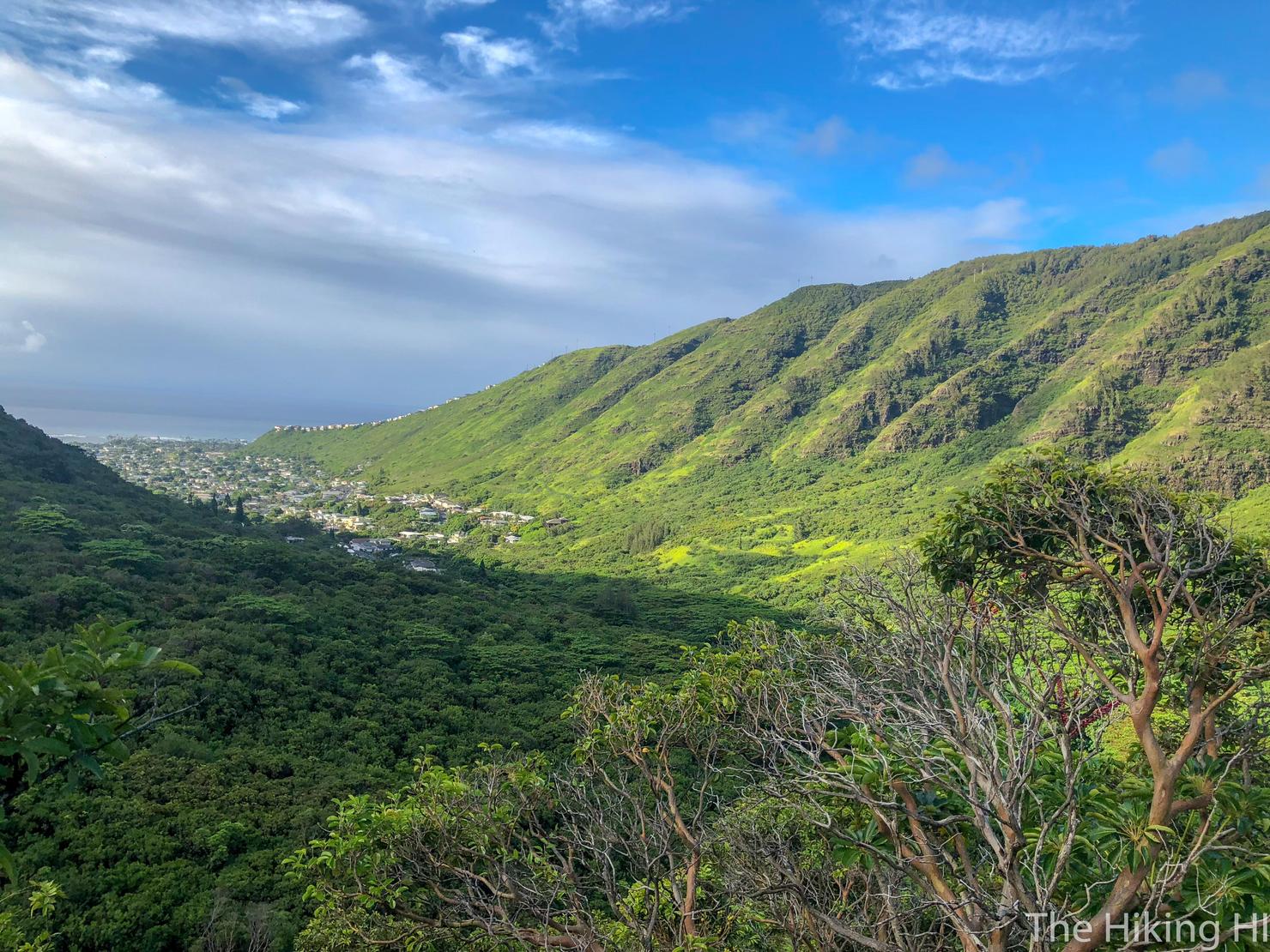
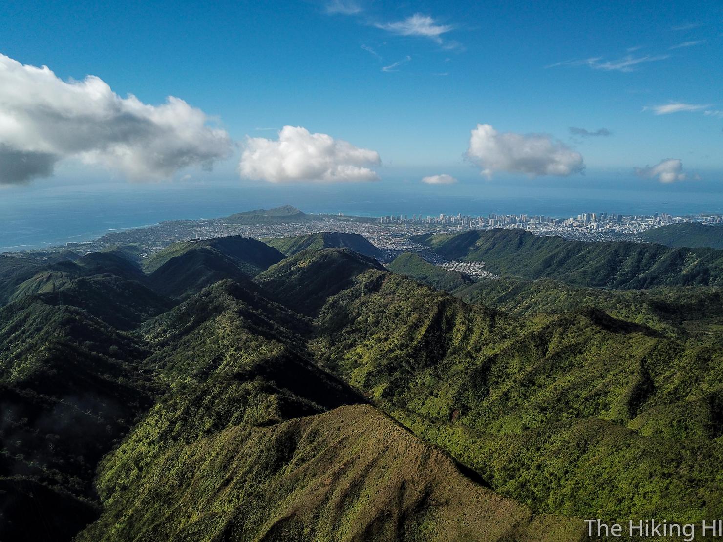
And then boom! You get hit with that beautiful valley and ocean view.
And here's what we have to conquer. The right ridge is Wailupe which will take us all the way to the KST. The left is Wiliwilinui which we will take on our return trip. It's looking pretty clear up there right now, let's hope it stays that way.
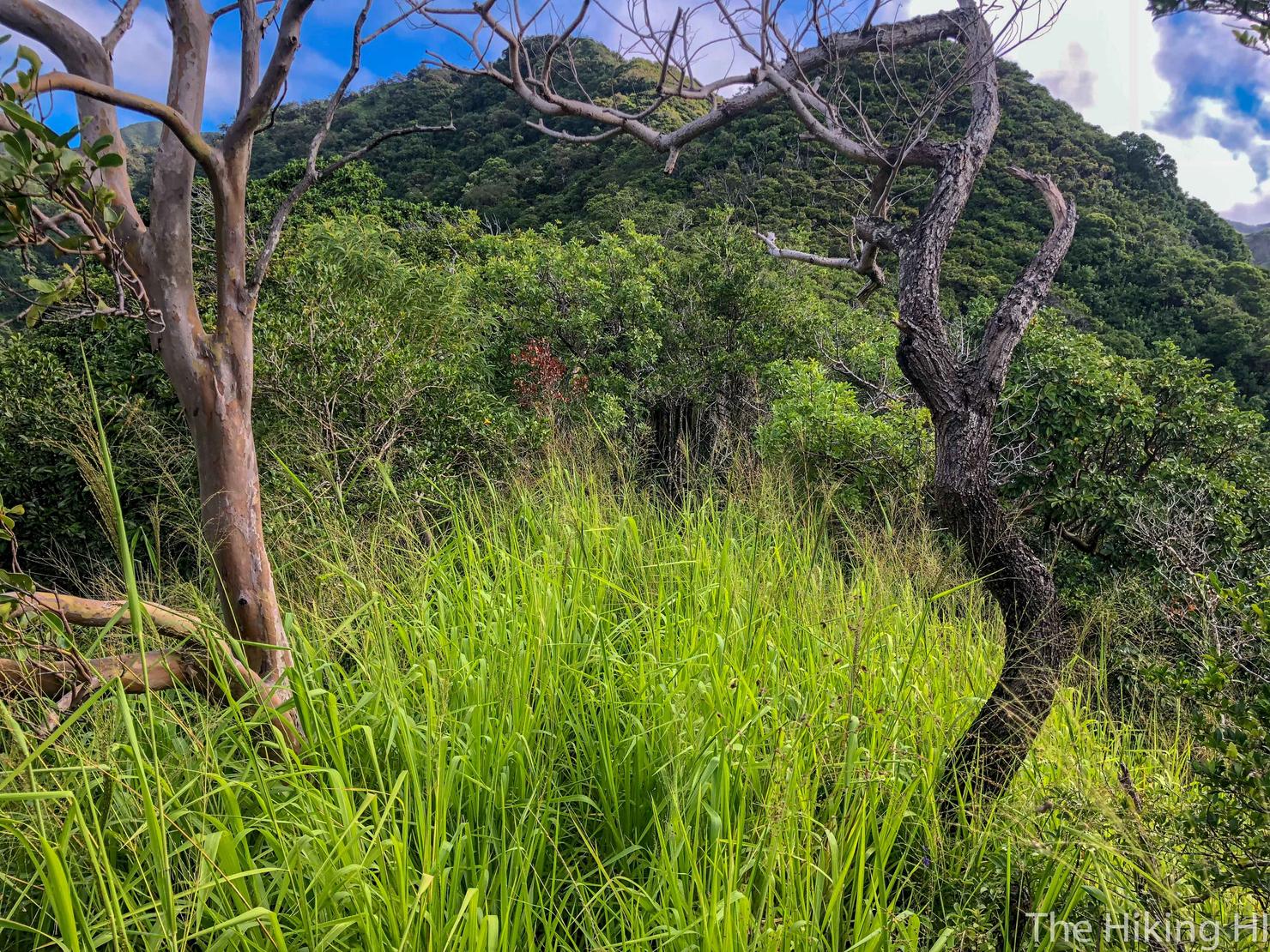
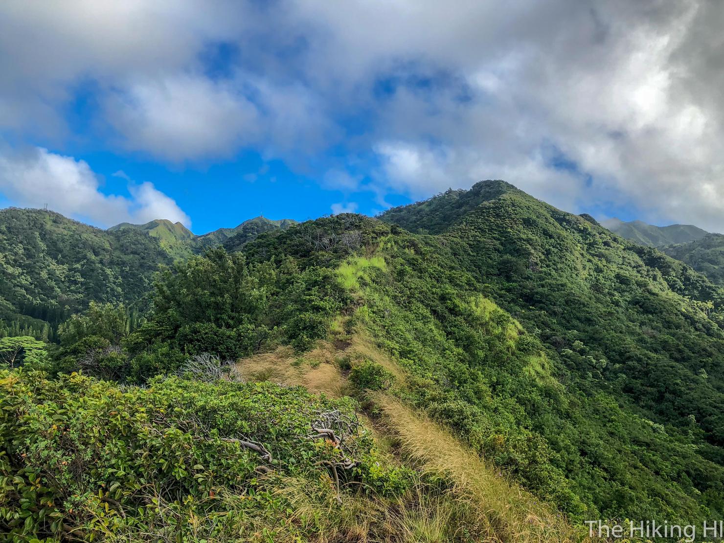
This is your standard unmaintained ridge. You will alternate through these grassy and overgrown ridges.
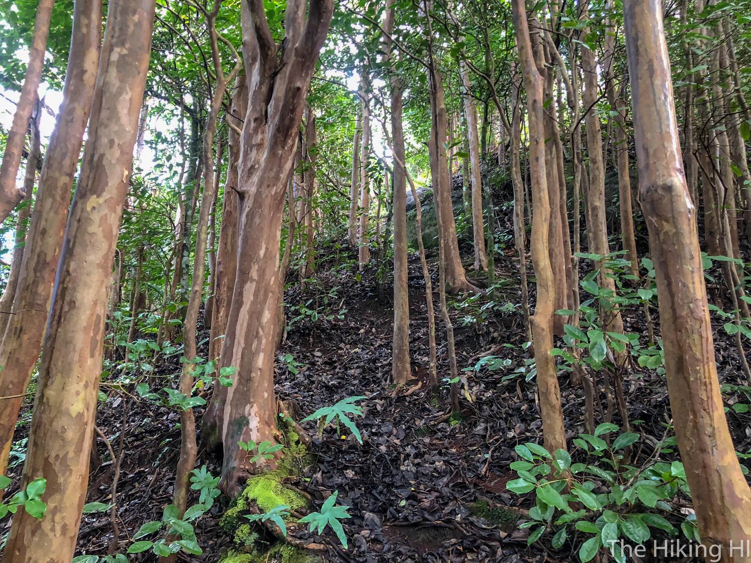
And these somewhat muddy and forested sections, as you continue to gain altitude.
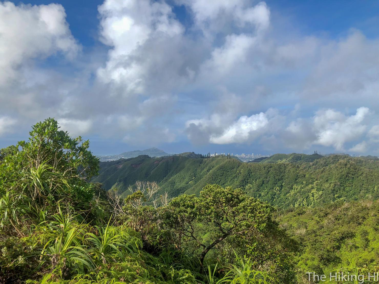
As you get higher, you will periodically break out of the trees, getting some killer views. Looking left, you can make out Diamond Head Crater and Honolulu.
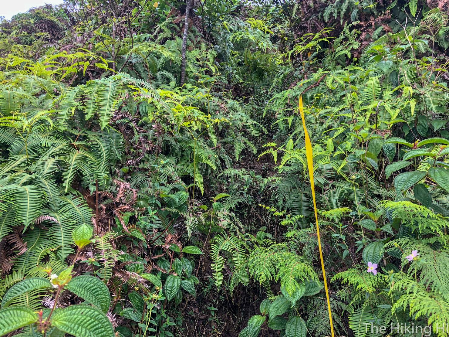
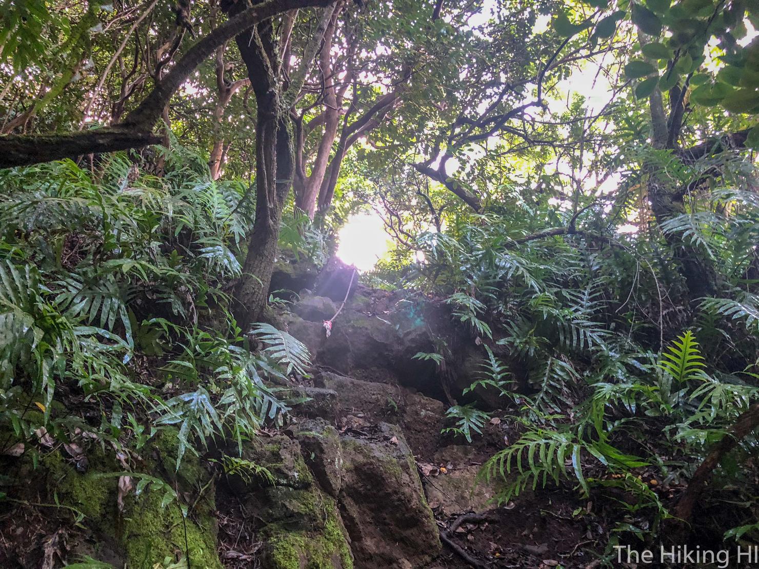
But the climb does require some effort, you are gaining over 2000 feet in elevation after all. This section was steep enough that a rope was placed to assist you. The hike can get uncomfortable as well, with some overgrown sections. I highly recommend long sleeves and/or pants.
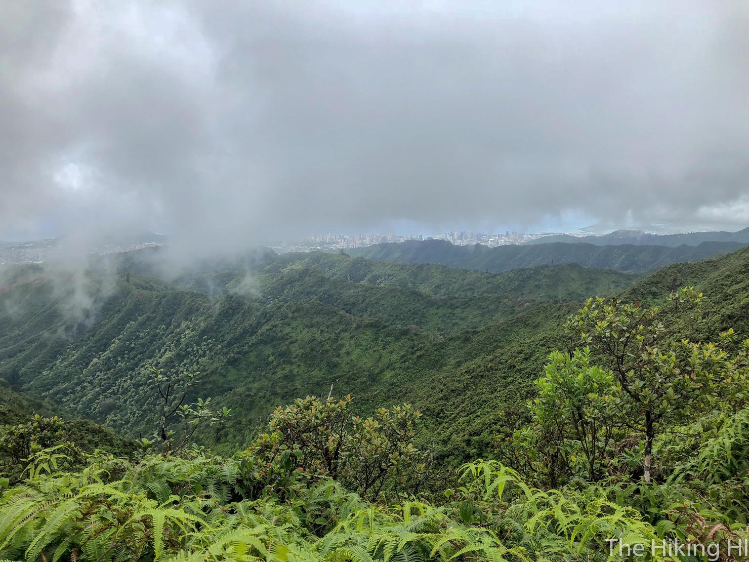
After a little over 2 hours of hiking, we've reached the Wailupe Summit and... clouds. The windward side was completely white, but I could still barely make out Honolulu.
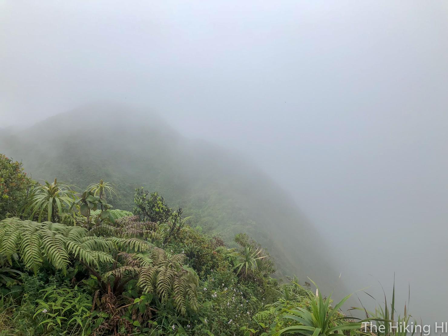
But nothing we can really do about that except keep hiking. And now we get the most exciting part of the hike, the KST traverse between ridges. Hiking the KST is always a thrill for me-- raw, unmaintained ridges with steep dropoffs and complete solitude. There's nothing quite like it. Not to mention cloud cover like this always adds to the surreal feeling.
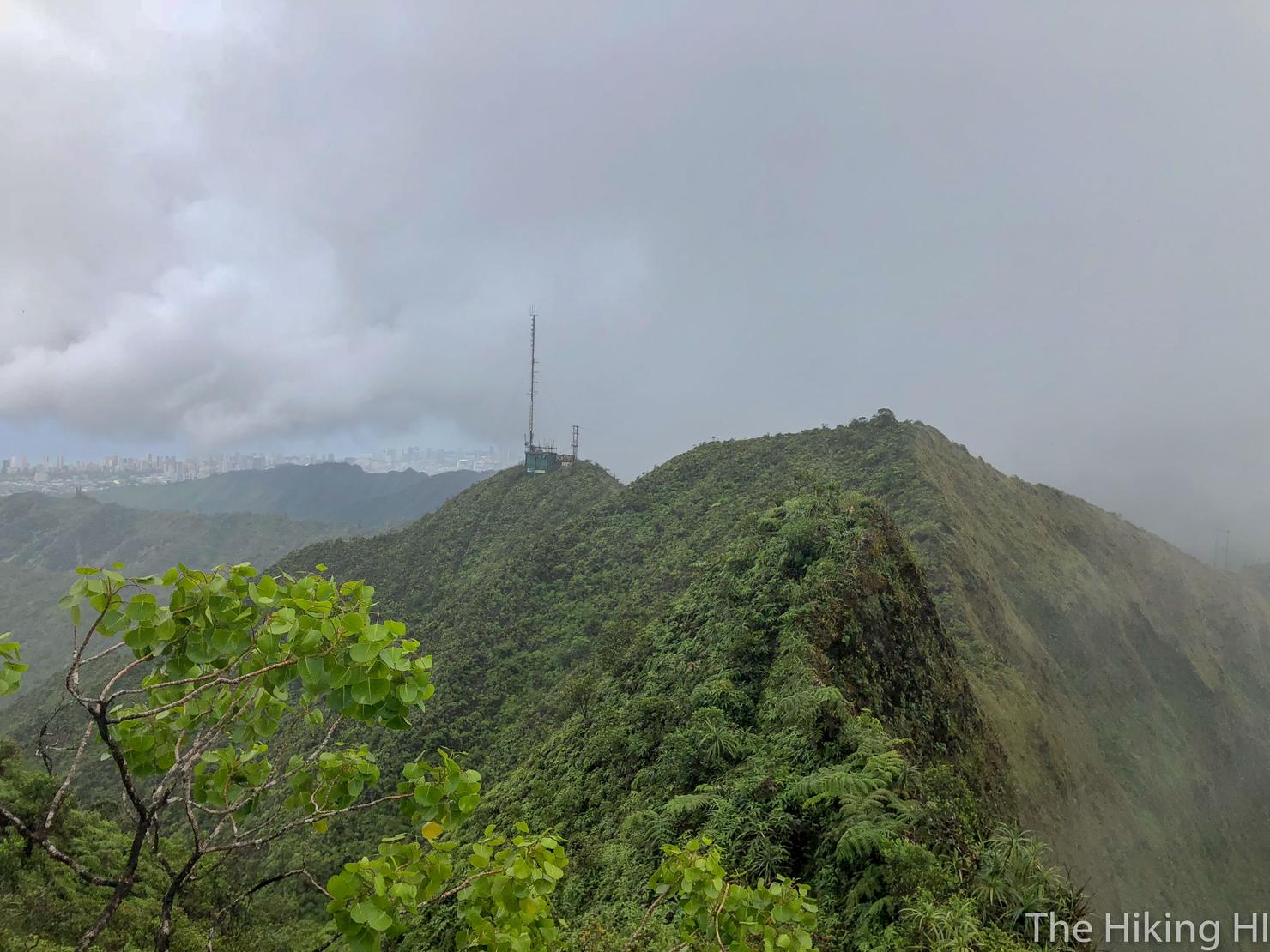
After a bit of slipping and sliding along the KST, the summit of Wiliwilinui began to come into view.
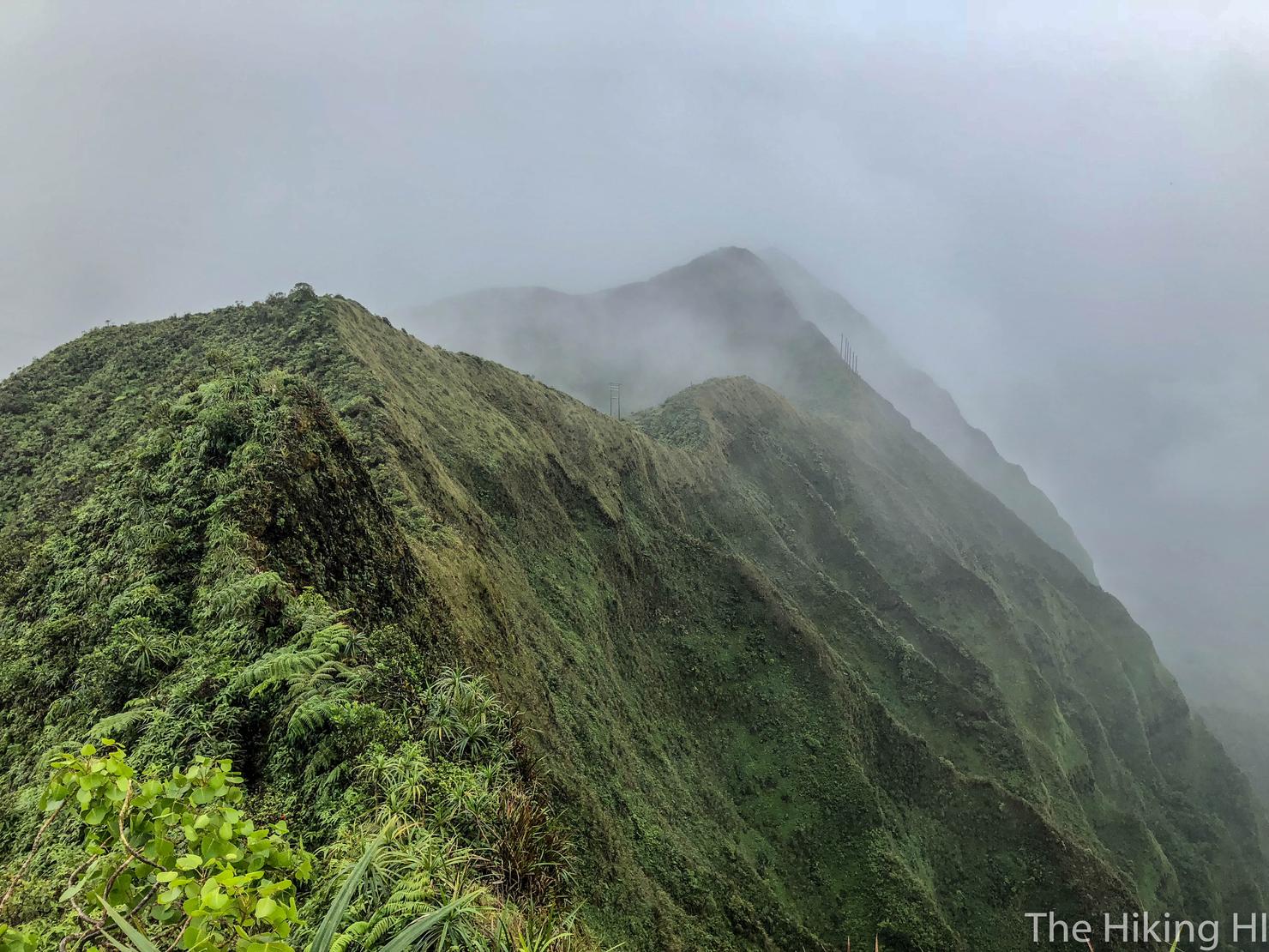
Seriously, those ridges and clouds are mesmerizing. I can't get enough of it.
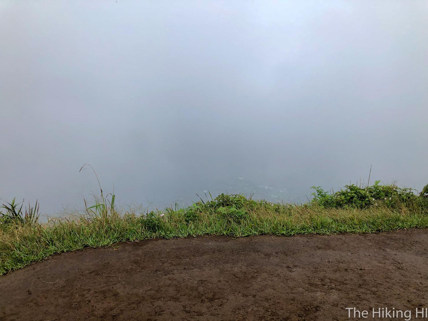
It took about 10 minutes for me to connect the ridges, and of course the windward side was still completely cloud covered. Oh well. A light rain was beginning to come down and with little hope for views, I decided it was best to start the return trip.
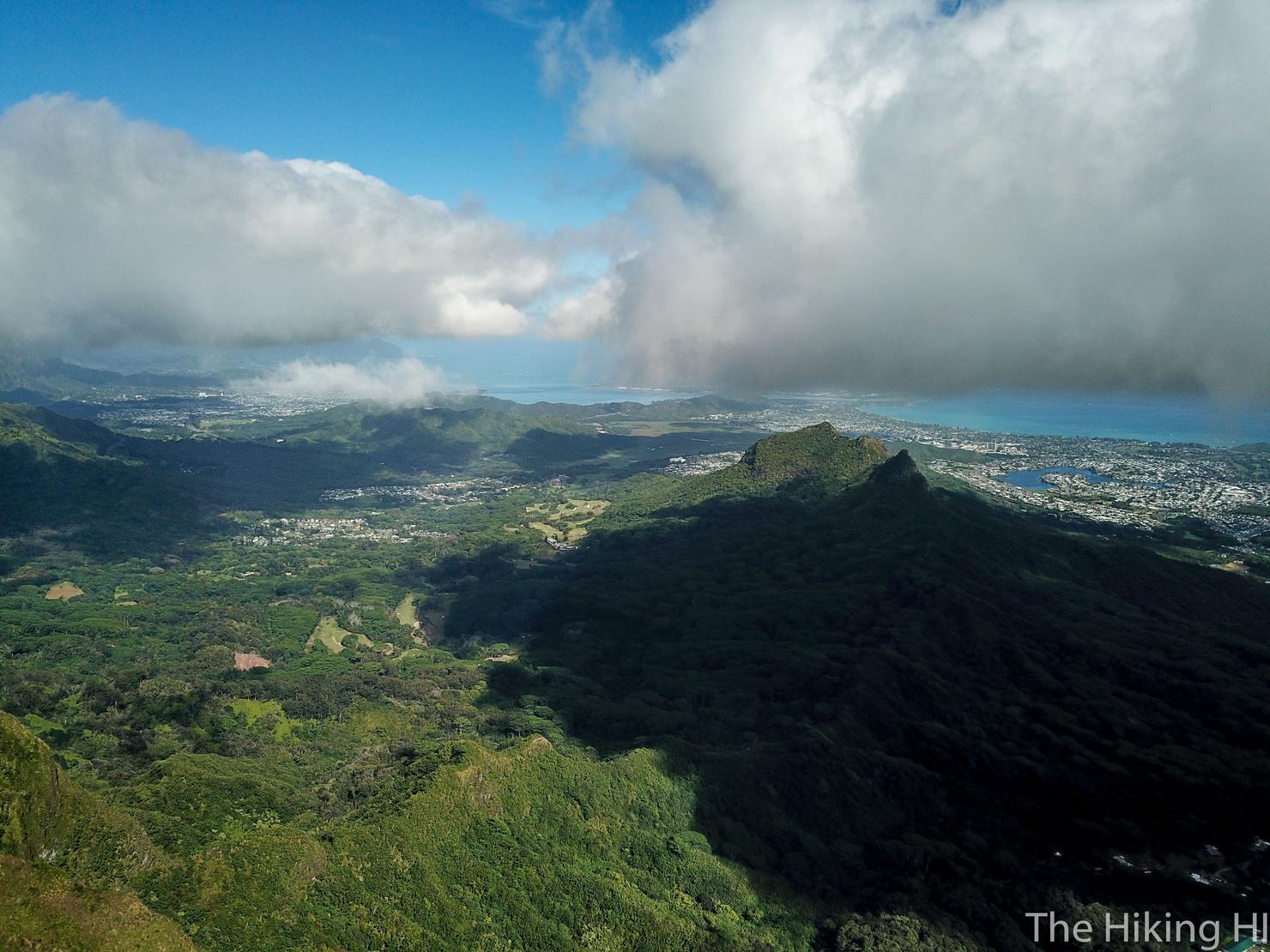
But had you decided to do this on a clear day, you would have seen a little view like this. Three Peaks, K-Bay, Kailua-- all the good stuff on the Windward side.
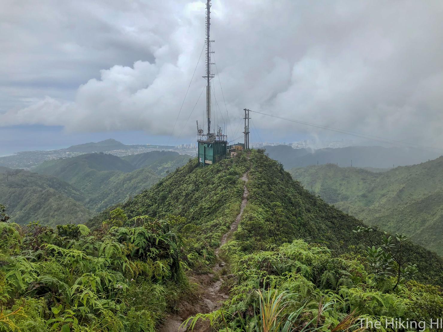
And now for the return down Wiliwilinui. The trail was quite muddy, but with the stairs and maintained path, it is far easier than Wailupe.
The trick to the return is finding the path back down to Wailupe Valley. I was using this AllTrails track to navigate and it appeared the turn was at this bend. Turns out this was NOT the path down.
Which is deceptive because this area was full of orange ribbons. Unfortunately, the orange ribbons lead to nowhere except a very steep slope. Now I was scaling this steep and slippery slope using the trees to prevent myself from sliding down the mountain. I would say I was nervous in this situation, but I've been in this predicament a few times before. I decided to continue along this slope, hoping I would run into the actual path down.
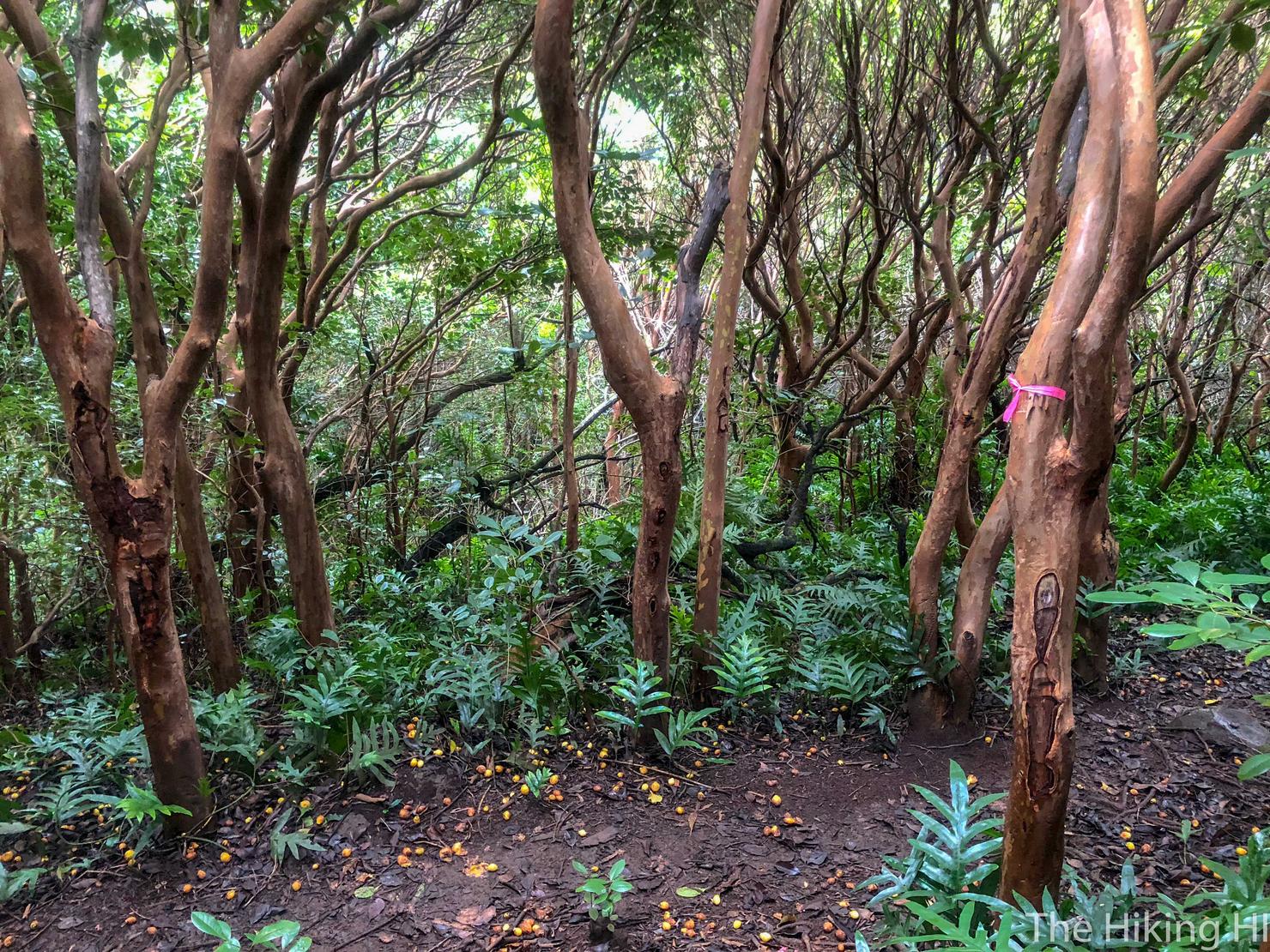
And eventually I did. The path down is marked by pink ribbons. After doing some post hike research, it looks as though I made the turn too early. Apparently, the turn down is marked by a pink bottle cap.
The path down still has its challenges. It is steep and can be slippery. Luckily there's plenty of trees to control your descent. It took roughly 20 minutes before reaching the valley floor. From here, you head right and follow the obvious path to the start.
Despite the similarity to it's neighboring ridges, Wailupe Loop provided another new and memorable adventure in the Ko'olaus. And that feeling of satisfaction, standing alone on top of these ridges, views or know views, will always make the decision to hike worth it.