Difficulty: INTERMEDIATE
Time: 2-3 HOURS
Distance: 3 MILES
Elevation Gain: 600 FEET
Foot Traffic: LOW
Challenges: Steep and slippery descent into valley, Stream Crossings, Wet and Muddy
Sights: Waterfall
What to Bring: Shoes to get muddy, Water, Snack, Swimsuit
A great hike after a heavy rainfall, this secluded waterfall hike is located in the lush Manoa Valley Rainforest near Honolulu. After descending into Manoa Valley via the Pu'u Pia trail, you will hike your way through the green rainforest, crossing streams and hopping rocks until you finally reach a series of waterfalls known as Waiakeakua Falls.
It had been an unfortunately dreary holiday weekend. Since Friday evening, it had rained nonstop all over the Hawaiian islands, with flood warnings everywhere. It had been so bad, that I didn't even want to venture out to try and sneak in an easy hike. Instead, I stayed inside, read, and caught up on some Black Mirror (wild Netflix show if you haven't seen it!). Finally, on Monday, the sun began to peak its way through the clouds. I knew I had to take this opportunity and get outside. After that amount of rain, there really is only one type of hike you should even consider, a waterfall hike! After a little perusing on AllTrails, I settled on Waiakeakua Falls.
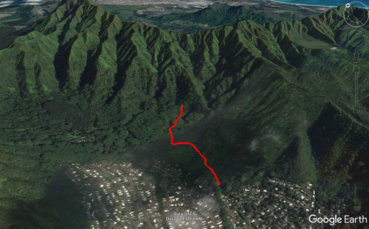
The hike begins on the Pu'u Pia trail before you descend into Manoa Valley. Once in the yalley, you will cross a stream several times and trek your way through the (likely) muddy forest before arriving at the falls.
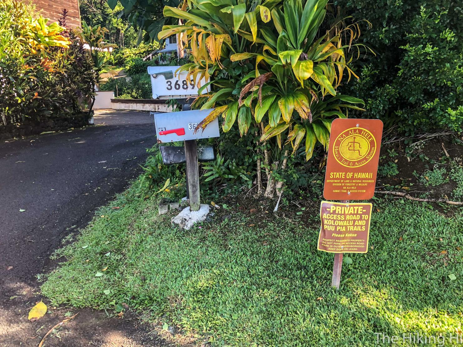
The Pu'u Pia Trailhead is located on Alani Drive. There is plenty of parking along this road.
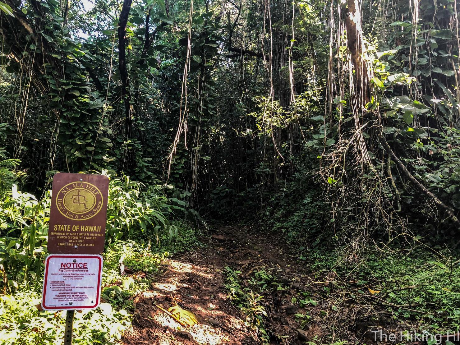
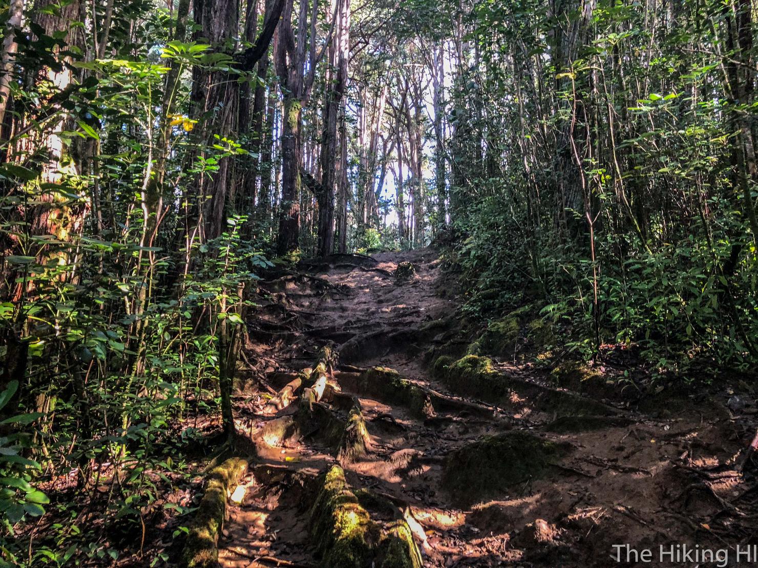
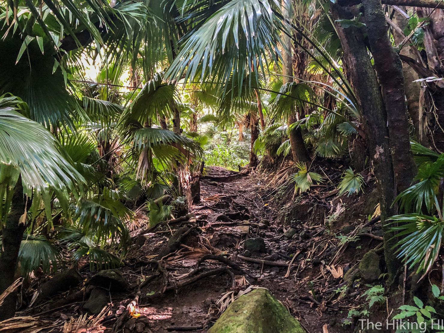
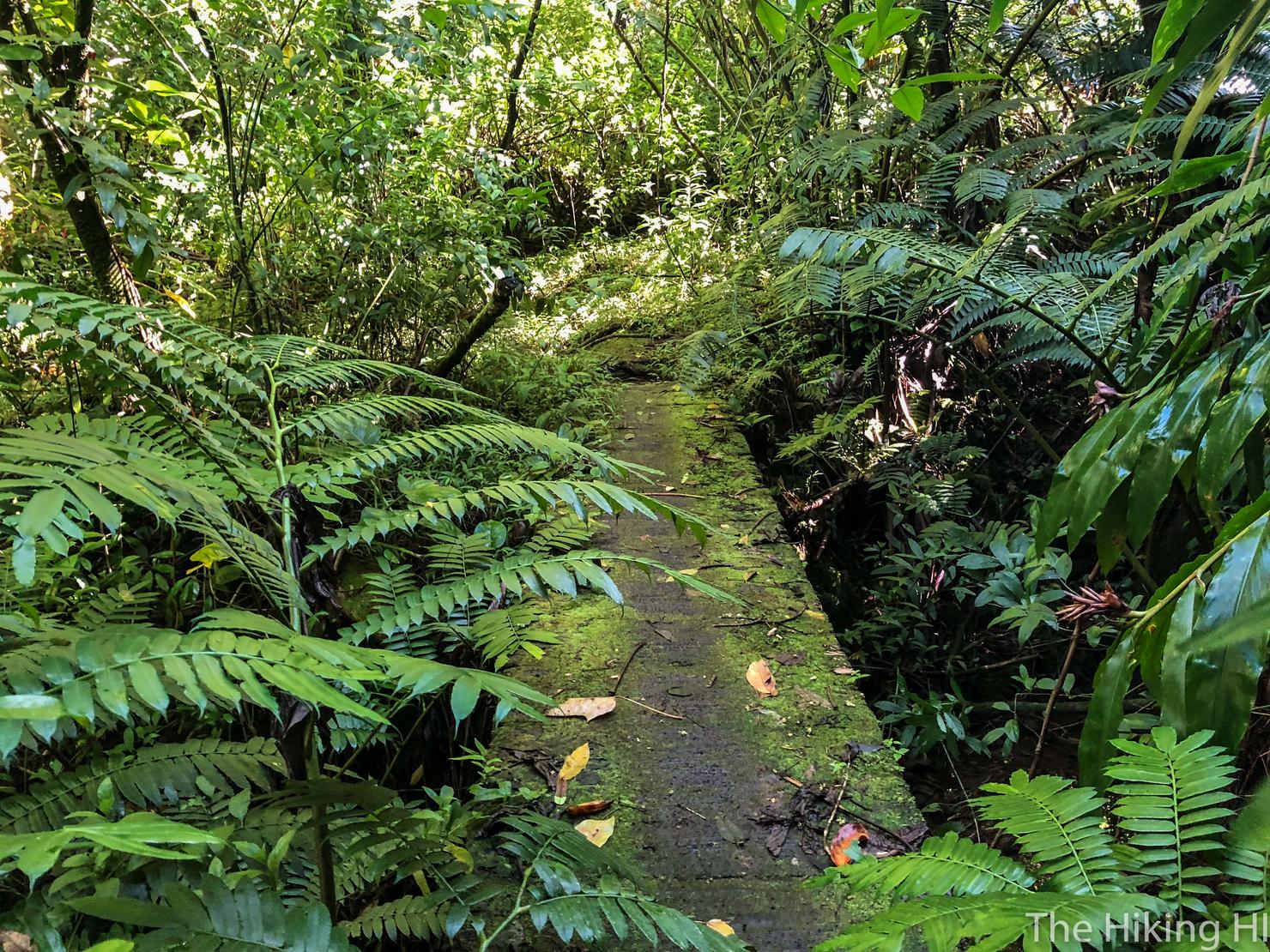
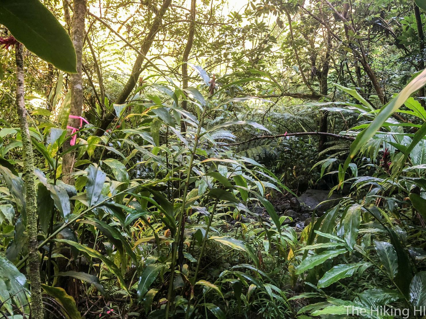
After a short walk along a paved path, you will reach the trailhead. I think this shot captures how dense the foliage is in this area. It is one of the things I really liked about this hike. You really feel like you're in the wild.
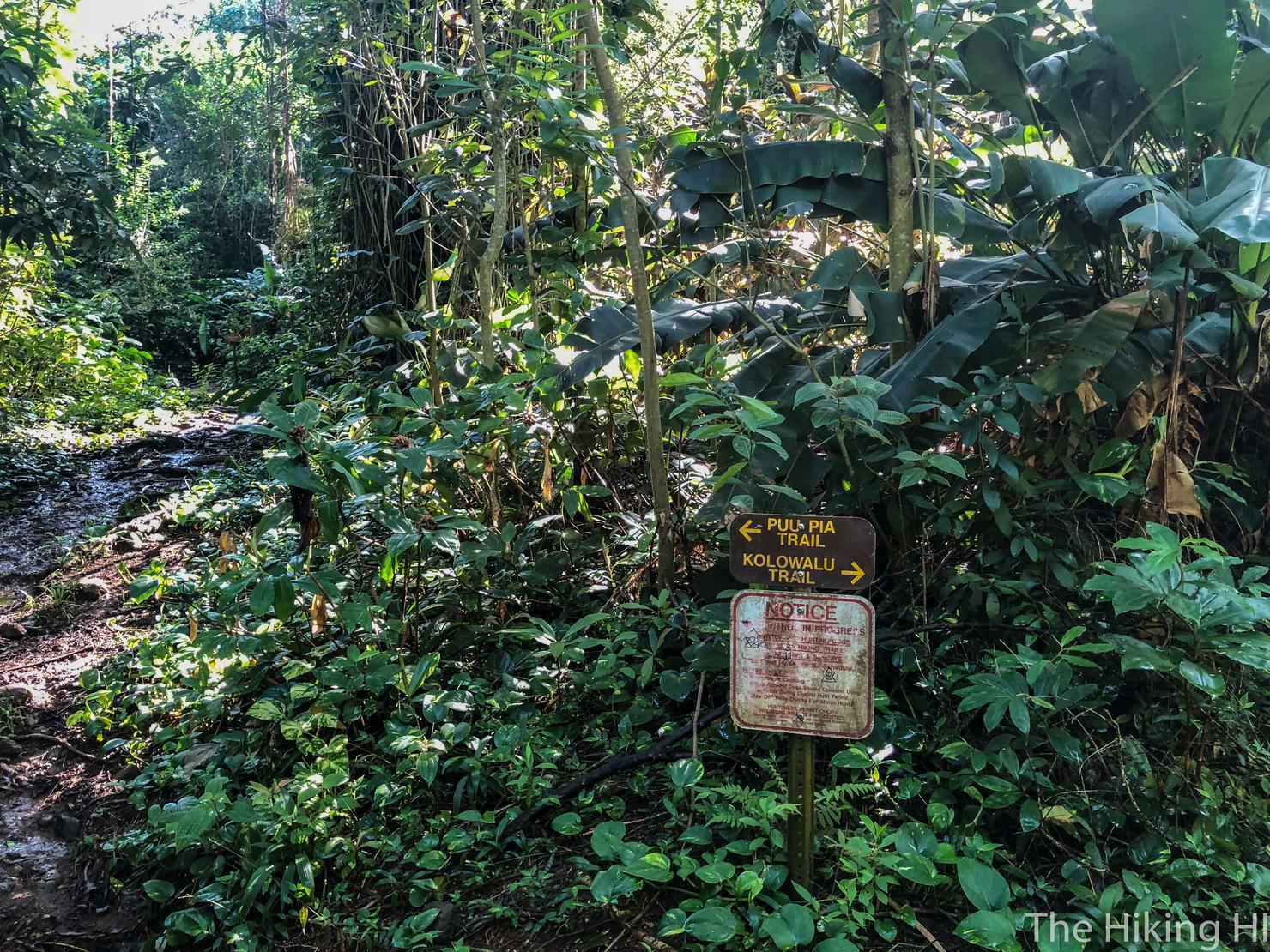
We are heading left on the Pu'u Pia trail before we descend into the valley. The Kolowalu Trail is a great hike that can take you all the way up to Mount Olympus, a hike I've done quite a few times. That hike is pretty physically demanding, and after all that rain, I'm sure it is very muddy.
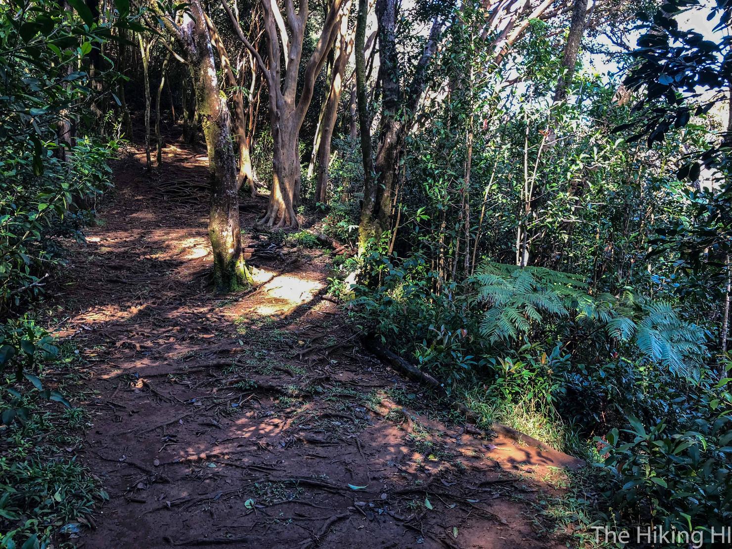
So we will stick with this hike. There was plenty of mud here as well and this little ascent was quite slippery. But hey more mud means better waterfalls!
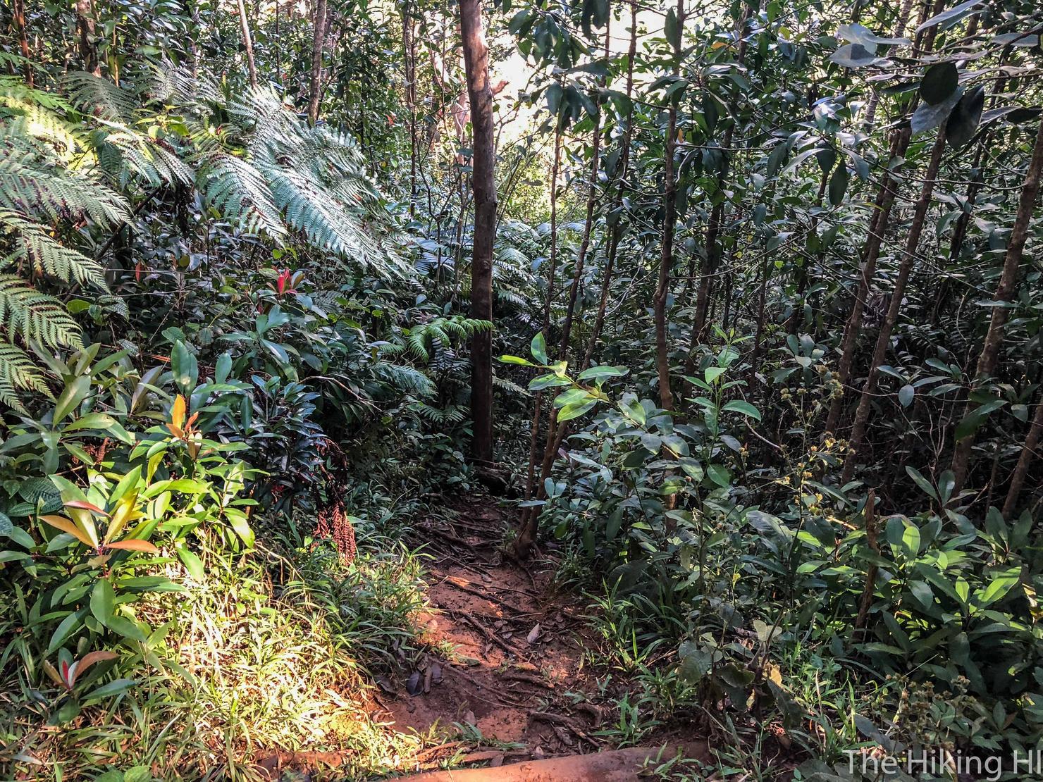
That opening in the trees on the bottom right is the path down to the valley. If the Pu'u Pia trail starts taking you back up hill significantly, you've likely gone too far. I HIGHLY recommend using AllTrails for this hike, because it marks this turn perfectly.
This descent is probably one of the toughest parts of the hike. It is pretty steep, there are no ropes, and it was slippery. Luckily, it is a short descent and there are trees to grab, so it is manageable. As I was descending, I couldn't help but think I'd been here before. Then it hit me, I had! This was where my friend Peter and I ended our one way hike after hiking up the Pali Notches to K1. What an epic day that was!
Anyway, back to the present. Once you reach the valley, the trail will T. Go right.
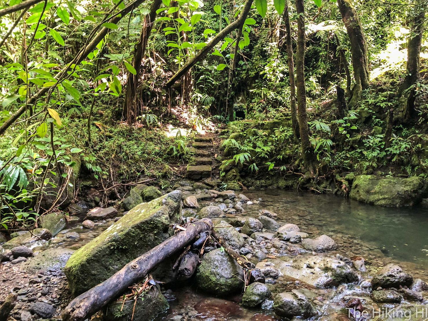
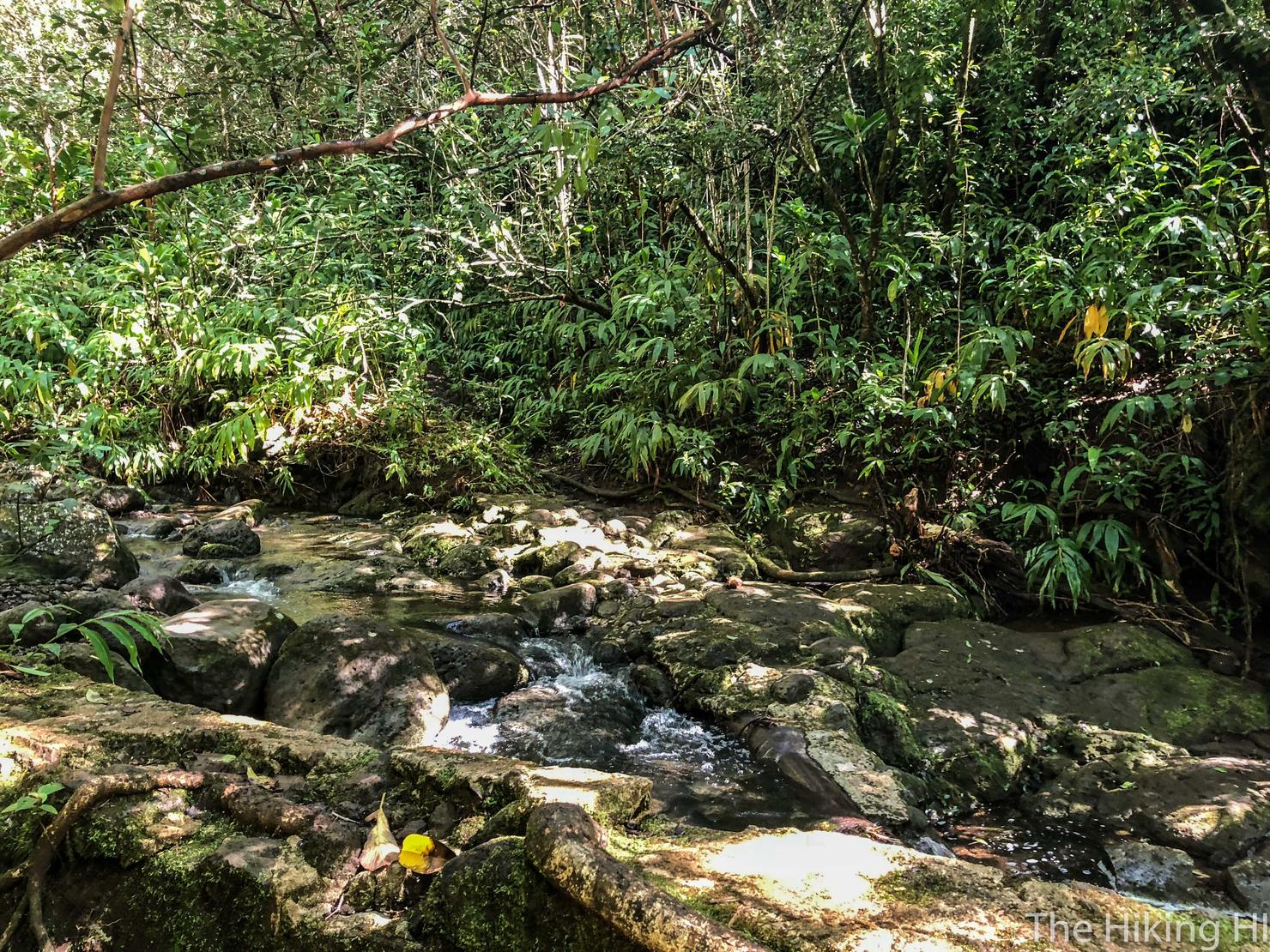
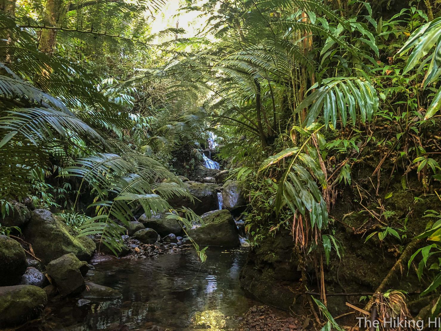
The trail is fairly obvious and very shortly you will come to the first stream crossing! Cross the rocks and head towards the stairs.
And if you look to the right, a little baby waterfall!
As you follow the path, you will quickly realize that little baby waterfall actually stemmed from this slightly larger one. Here, this couple was doing some sort of photo shoot. Instead of creeping on top of the falls, I decided to let them have their privacy.
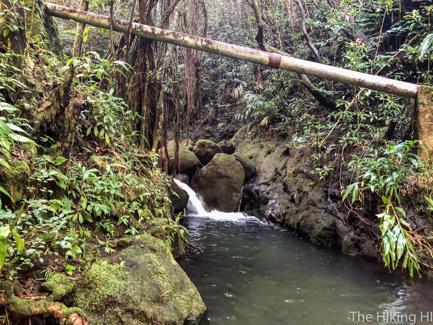
To continue on, you will need to cross the stream that feeds the waterfall and head towards that opening in the trees. You can barely see it, but the trail is marked by a pink ribbon.
You will follow the trail with the stream on your left for a few minutes before reaching this bridge, which you must cross. I won't lie, this bridge did not feel very sturdy, so I don't recommend staying on it for very long...
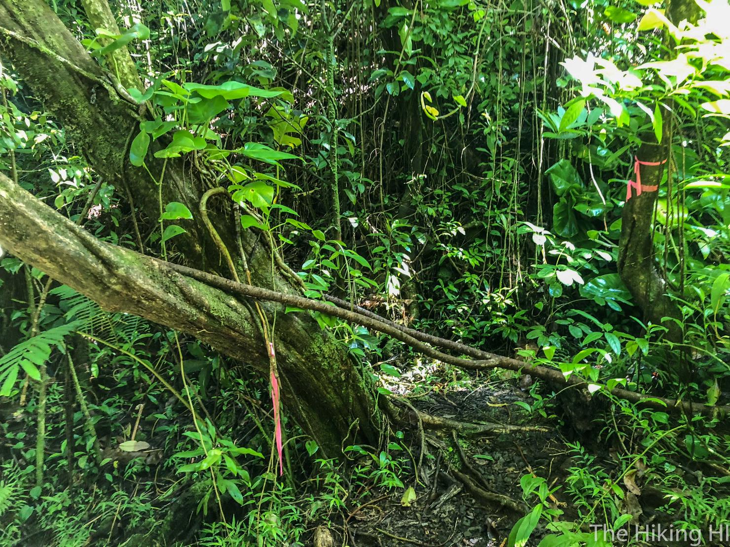
After crossing the ridge you will arrive at this fork, indicated by all of these pink ribbons. This is where I got lost. Since the source of the stream I had just crossed was coming from my right, I thought that Waiakeakua Falls clearly was to the right.
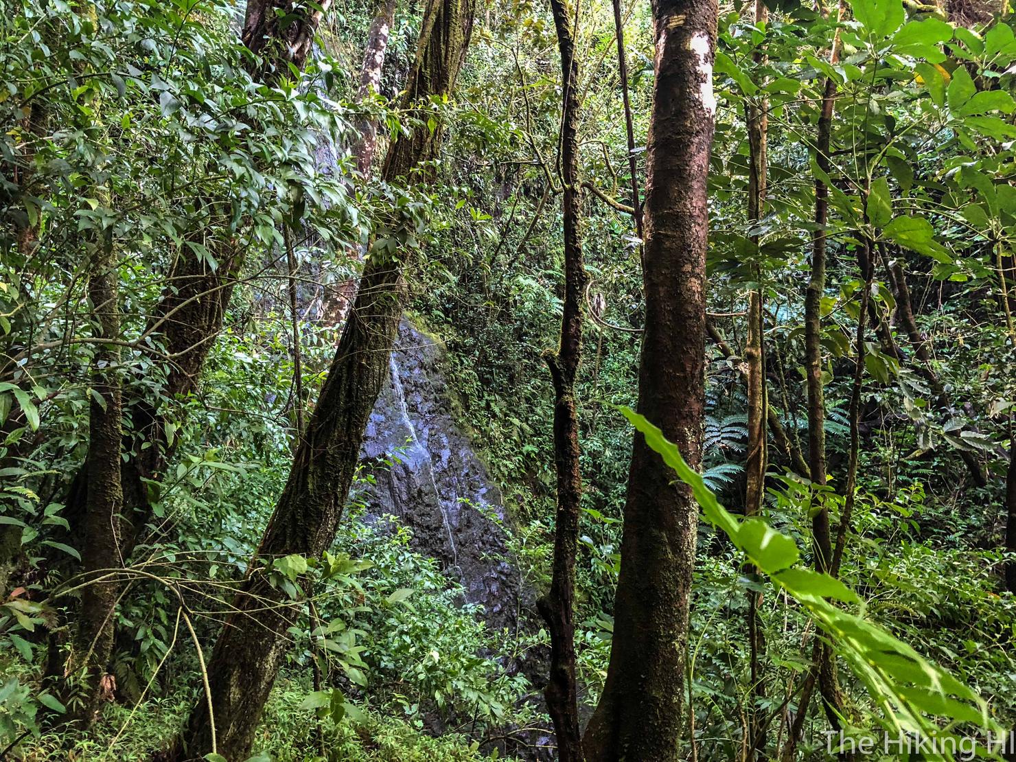
Deceptively, there were pink ribbons lining the right fork, but it led me to a dead end. There was an opening in the trees that revealed this large rock face with a small trickle of water running down it. Could this be Waiakeakua Falls? I would have thought the flow would be better after such a rain. Besides I couldn't even figure out how to get to the base. Hmm, maybe we will backtrack and take the other route?
And what did I find when I took the left fork? More pink ribbons! Well this was confusing. Luckily, I had plenty of energy and wasn't about to give up. After following this trail a bit farther, my AllTrails track was beginning to look right. I pushed on...
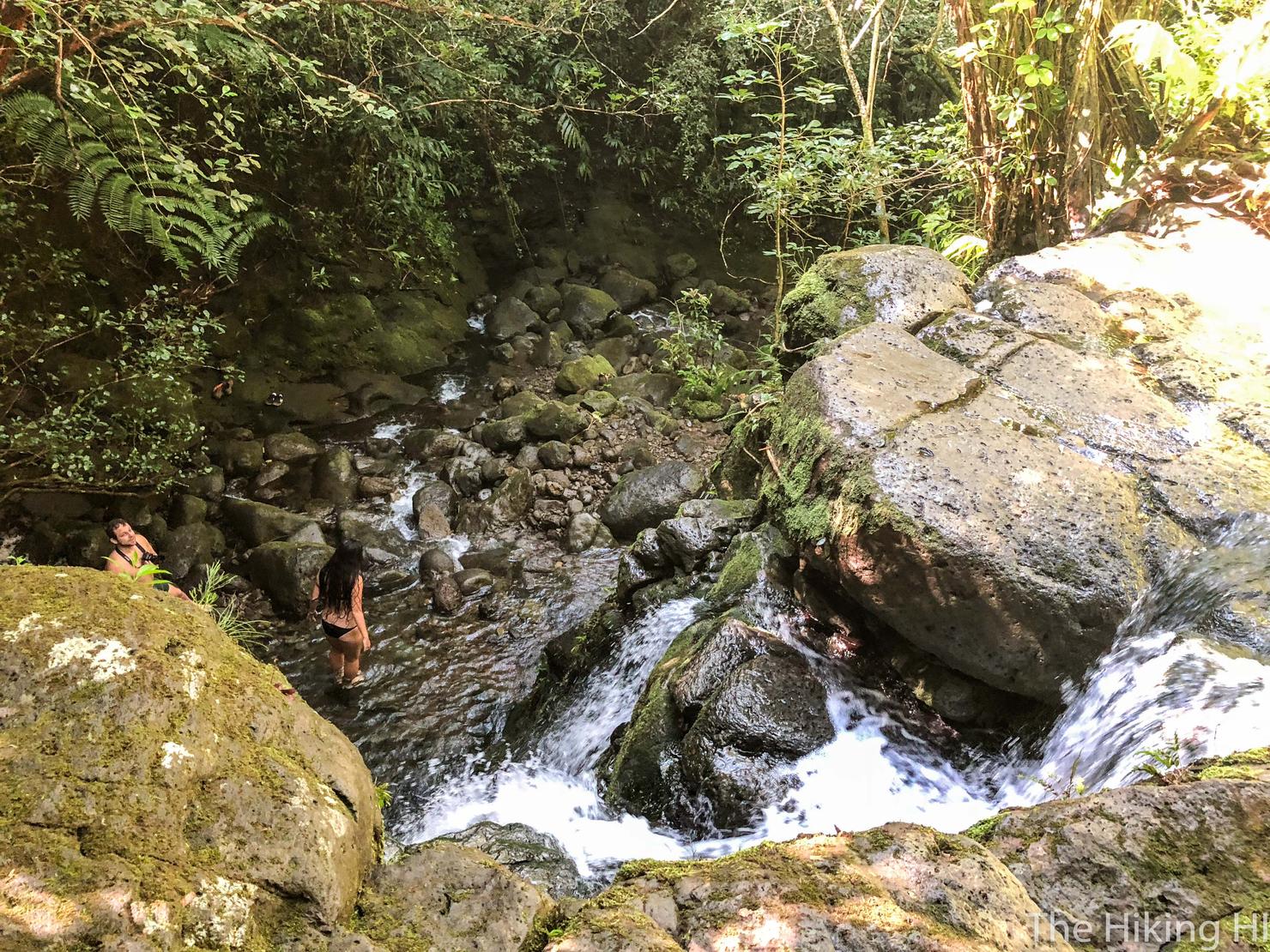
And as I rounded the corner a tiered waterfall came into view. I knew I was on the right track. I decided to continue upstream to find the big falls. This is where the hike got a bit trickier. In order to get up to that first landing, you are required to scramble up some relatively large boulders. If you don't want to get your feet wet, it would actually require a lot of balance and strength to muscle yourself up one of the boulders. However, the water is shallow, so if you simply wade through it, you can find yourself an easier path. I have fallen a few too many times on these types of hikes, so I have no problem getting my feet wet. I took the latter option.
Here we are, waterfall level 1. I took a a few minutes to do an IPhone long exposure. Ever since my Canon camera got stolen, I have been forced to shoot waterfall exposures with a phone. Lower quality for sure, but still impressive what these phones can do nowadays. In order to get on top of this level, you can use the rope and climb up the right side.
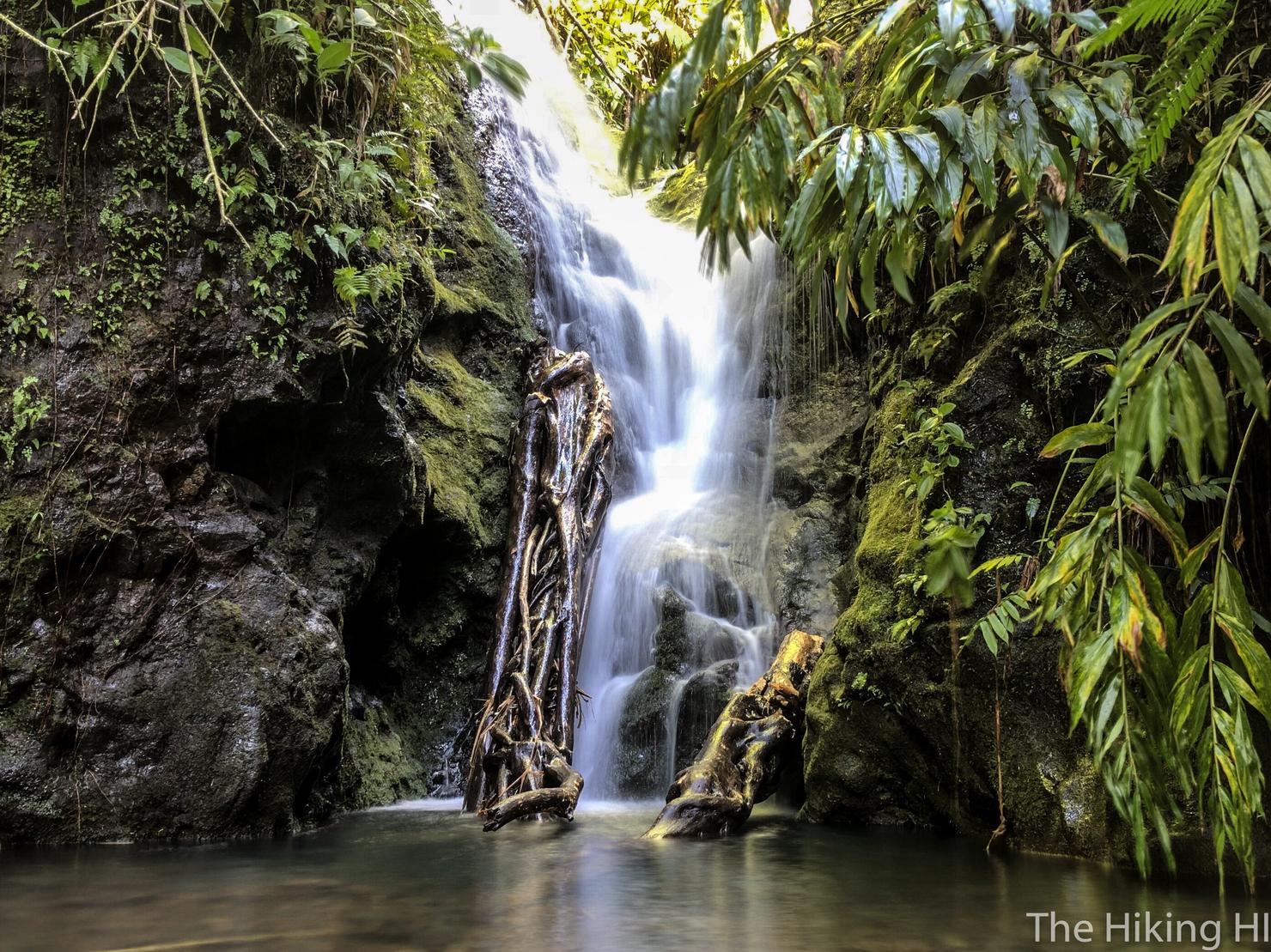
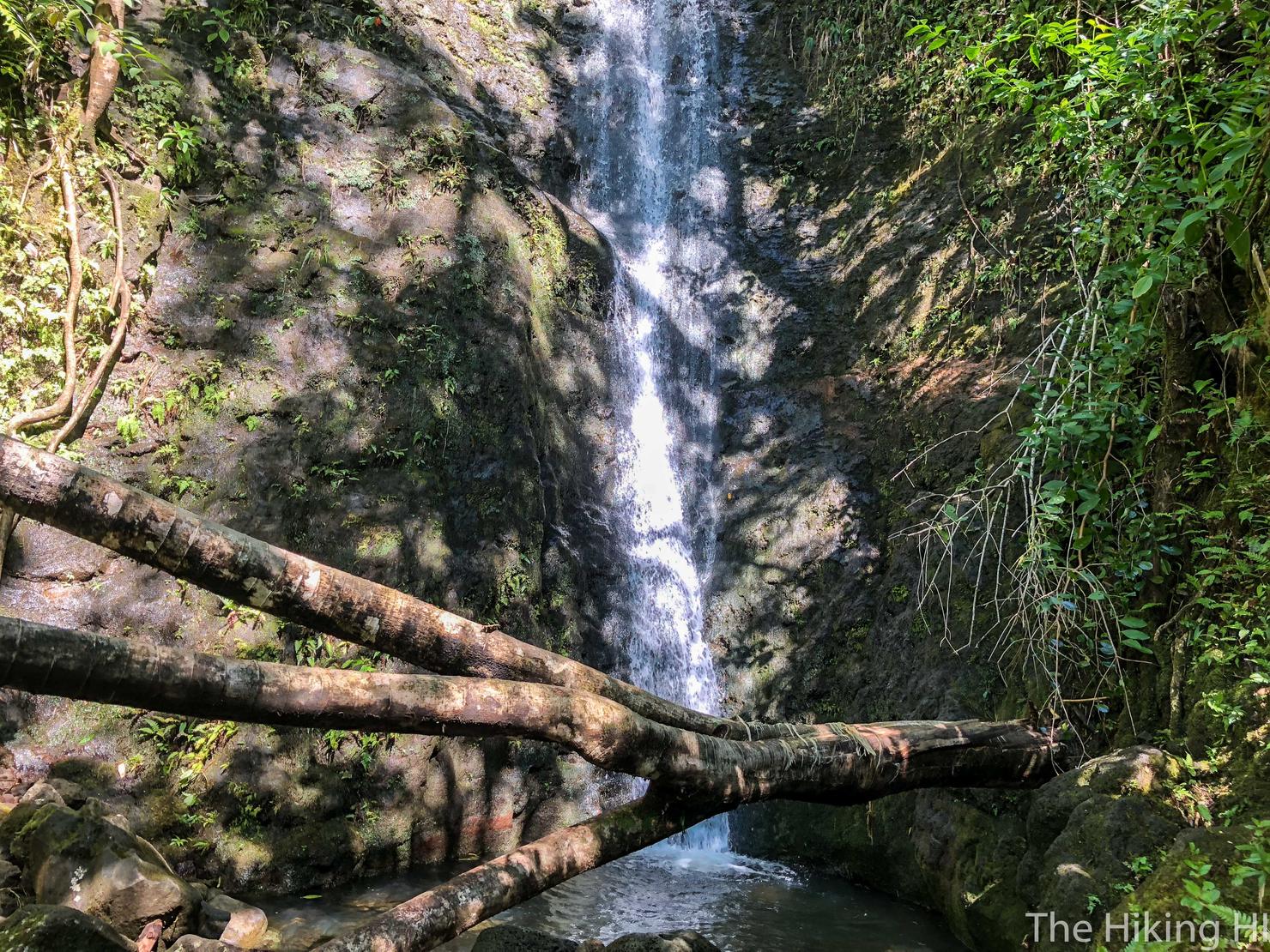
Level 2. This was probably my favorite part of the hike (hence it being the cover photo). You could see the raw power of mother nature as an entire tree trunk had been broken by the heavy rain and flooding. Pretty unbelievable.
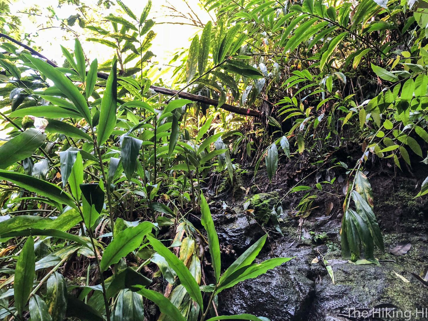
But we can go even higher. To the left of this level is another side trail that allows you to keep going uphill. The trail is probably wet and slippery so watch your footing.
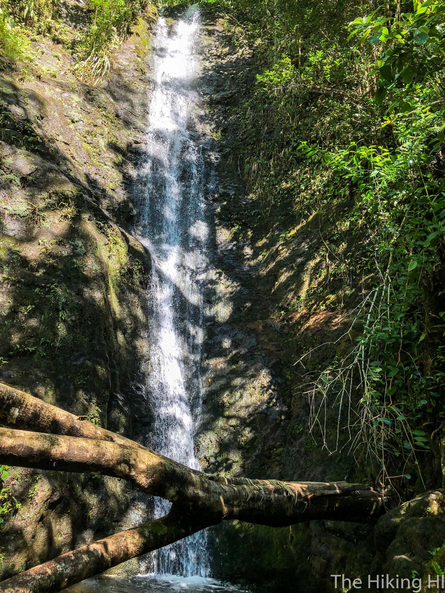
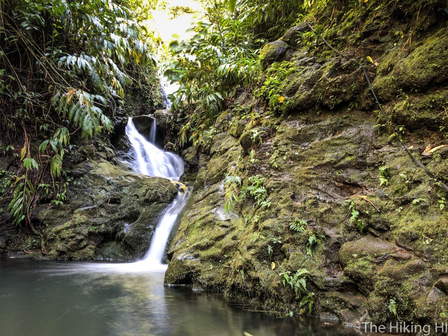
But if you follow that trail it will take you to this, the real Waiakeakua Falls. A 50 foot waterfall tucked away deep in Manoa Valley. I was thinking back about the many different waterfall hikes I've done on Oahu. With the exception of the touristy Manoa Falls, this had to be the tallest. 50 feet is by no means big (Pu'uka'oka Falls on the Big Island is about 2700 feet!), but something about the strong flow and lush green surroundings made it special.
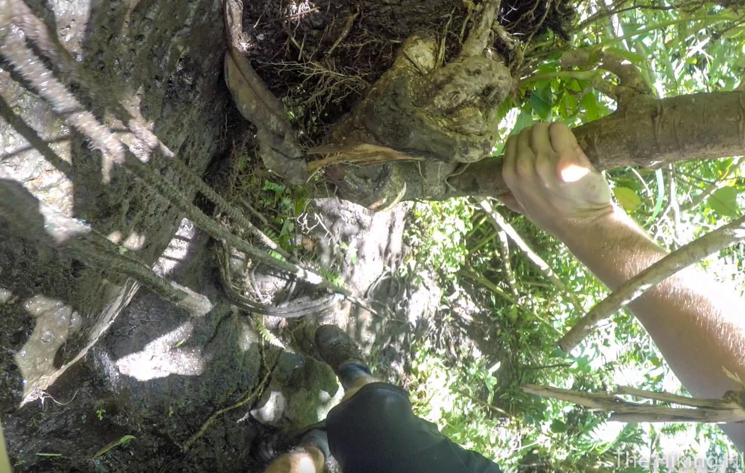
There is actually a path to the left that allows you to get on top of the waterfall. Naturally, I had to check it out. This ended up being the toughest part of the hike. The ropes were somewhat frayed and the surfaces very slippery. Definitely a risky climb.
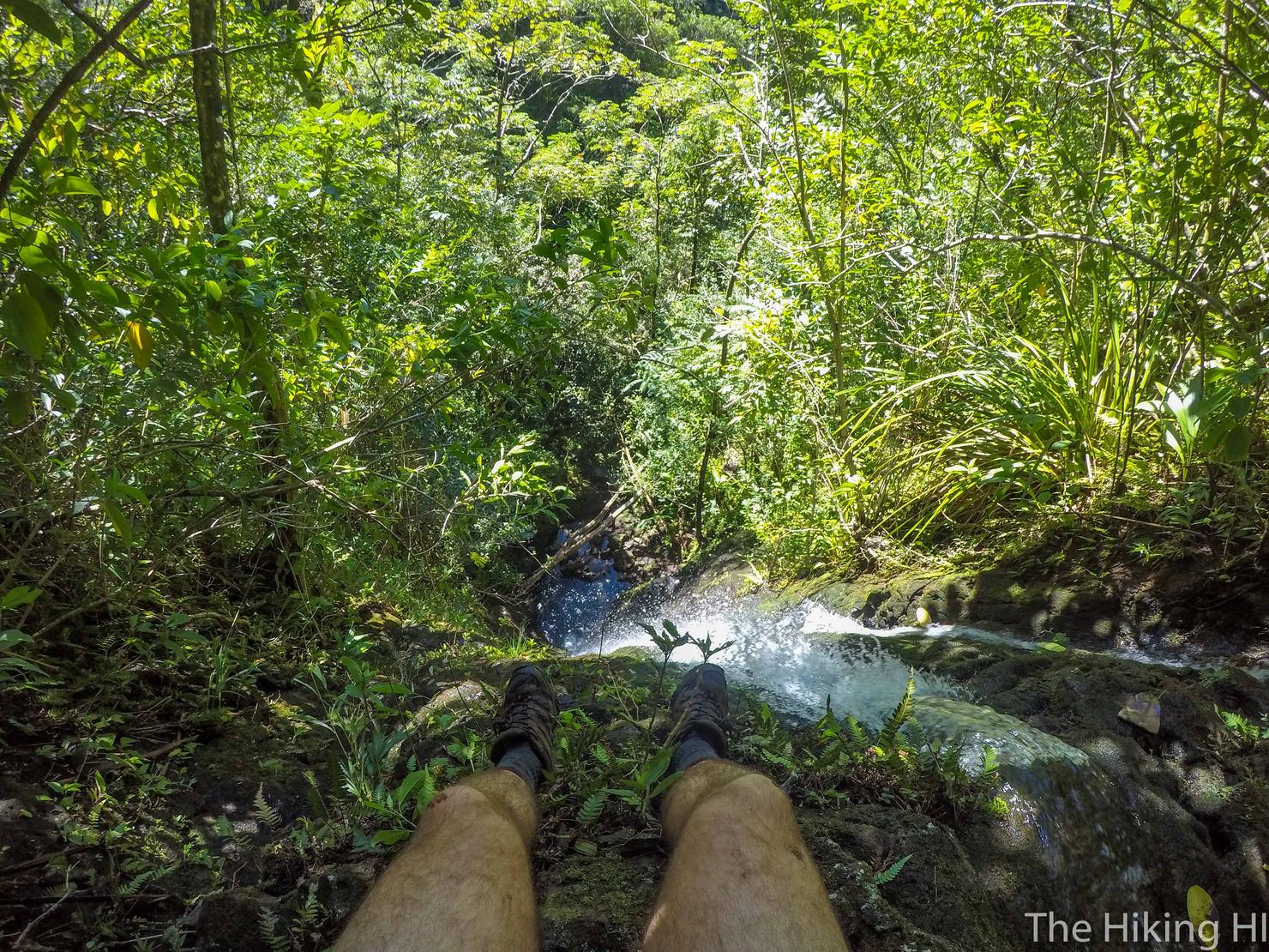
But of course that risk means you get to sit on top of a large waterfall, overlooking a beautiful valley, all by yourself. The choice is yours...
After a few minutes, I carefully climbed back down the side of the waterfall where I perched myself on this perfectly placed tree branch right at its base. Pretty amazing what the powerful forces of nature can produce. A beautiful waterfall and a perfect seat to view it from. Are these forces random? Sometimes I'm not so sure...