Difficulty: BEGINNER-INTERMEDIATE
Time: 4-5 HOURS
Distance: 6-7 MILES
Elevation Gain: 1800 FEET
Foot Traffic: MODERATE
Challenges: Trail can be muddy, Many forks on way to Lookout
Sights: North Shore, Makua Valley
This out and back hike offers some amazing views of the North Shore as well as the West Side of Oahu. The hike begins at Dillingham Airport where you follow a series of switchbacks up the mountain, while taking in the views of the secluded and beautiful North Shore Beaches. The hike then heads inland through the trees along an old dirt road. If you follow this road long enough, it will eventually lead you to Makua Valley. This area is one of the most remote places in Oahu and has a stunning view of the beautiful valley surrounded by the Waianae Mountain Range.
Last weekend was an oddity for me... I did not hike. With such a long hiatus, I was itching to get back on the trails. I woke up to a rainy and cloudy Sunday in Kailua, dampening (pun intended) my hopes of a good hiking day. However, as is often the case on Oahu, if it's ugly on one side of the island, it can be beautiful on the other side. After checking the radar, I decided to head north to the Dillingham Airport where I would hike the scenic Kealia Trail to Makua Valley, a hike I had done a year and a half before. The second time around did not disappoint.
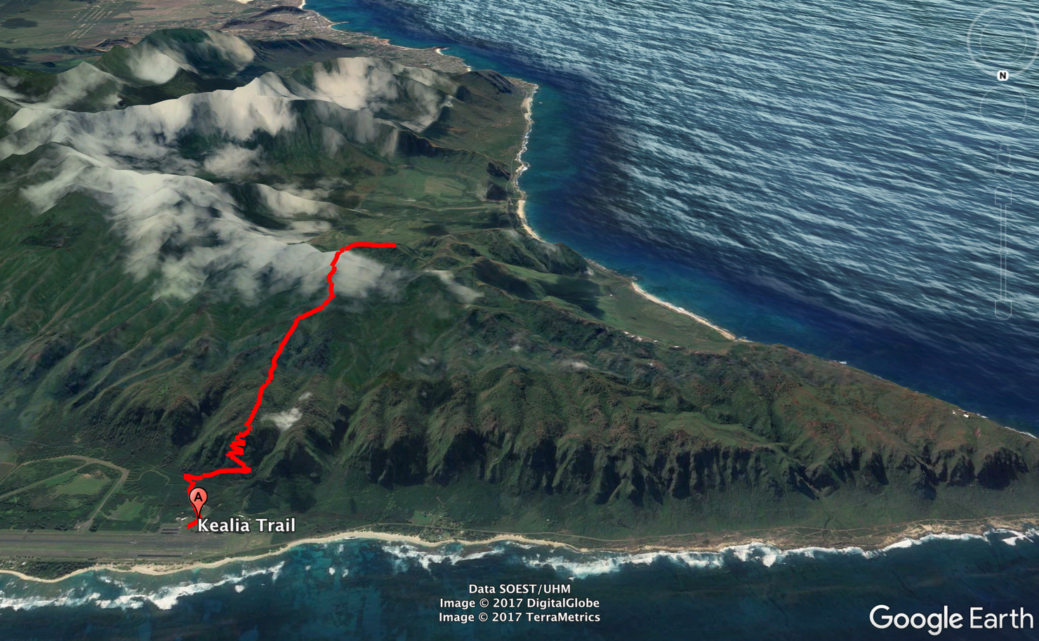
Here's a shot of the hike. It starts out as a series of switchbacks up the ridge before heading inland along the Kuaokala Access Road. Eventually, this road leads to a fence. You follow a trail along the fence which leads to a gorgeous lookout of Makua Valley.
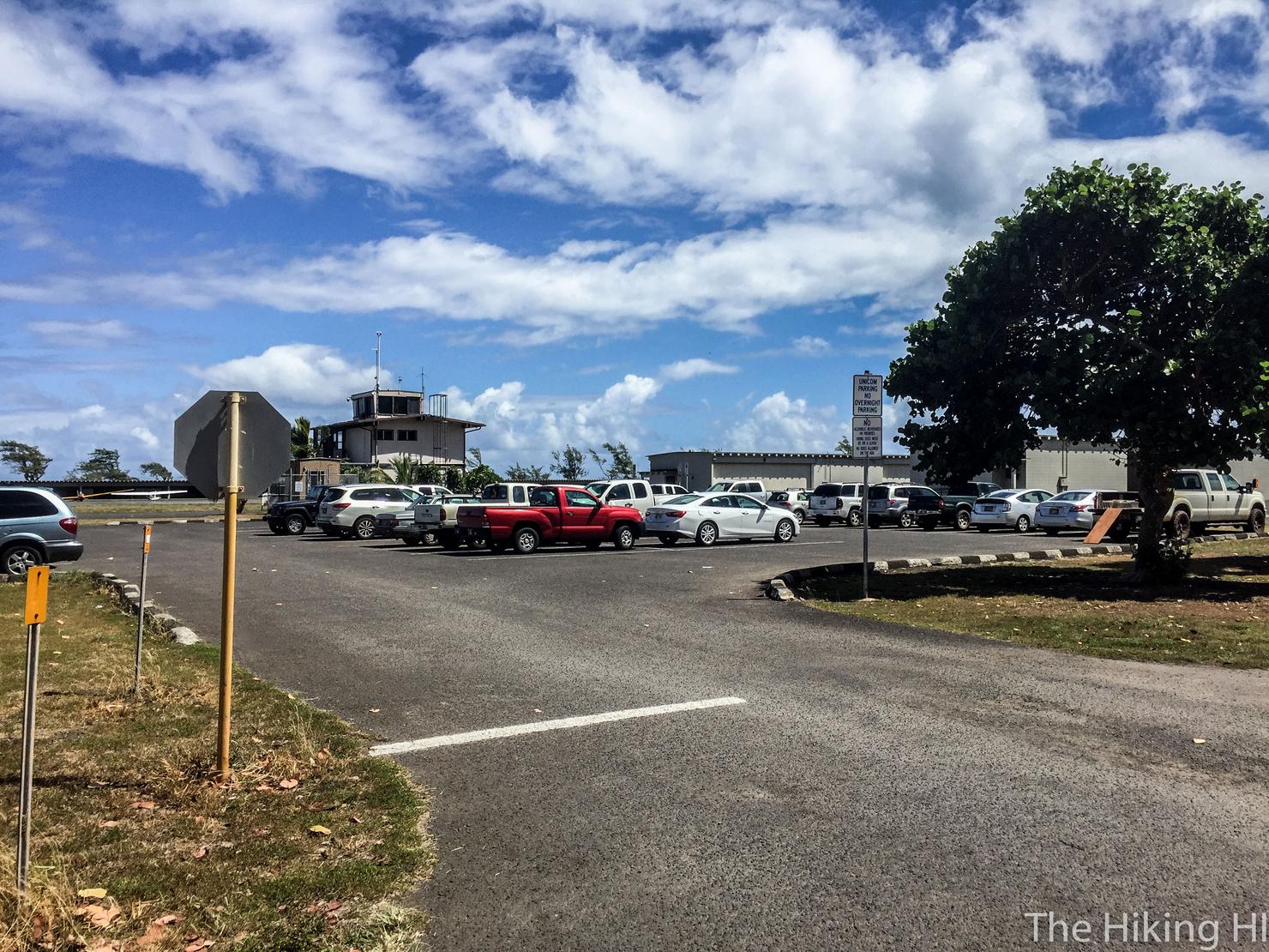
Parking for the trail is in this lot right next to the airport. Don't worry, it is perfectly fine to park here (the signs tell you to) and this is a perfectly legal hike. It even has bathrooms, a rare sight for Oahu hikes. A word of caution, someone I passed on the hike said they lock the gate to this lot around 6pm. Just a reason to start the hike early.
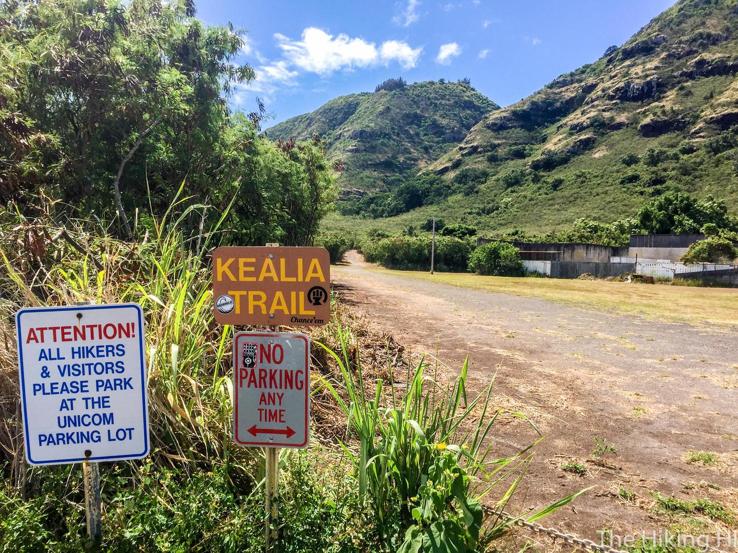
Across the street, you will see a fence with some signs. This is the trailhead.
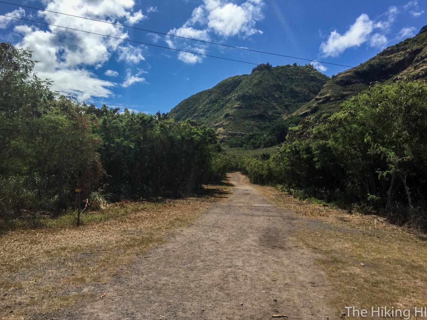
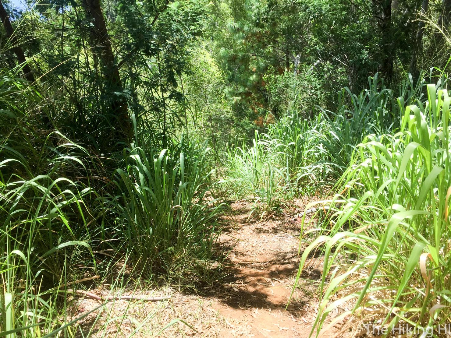
You will then follow along this dirt road for a few minutes. Enjoy this flat portion. There's not much of it on this hike.
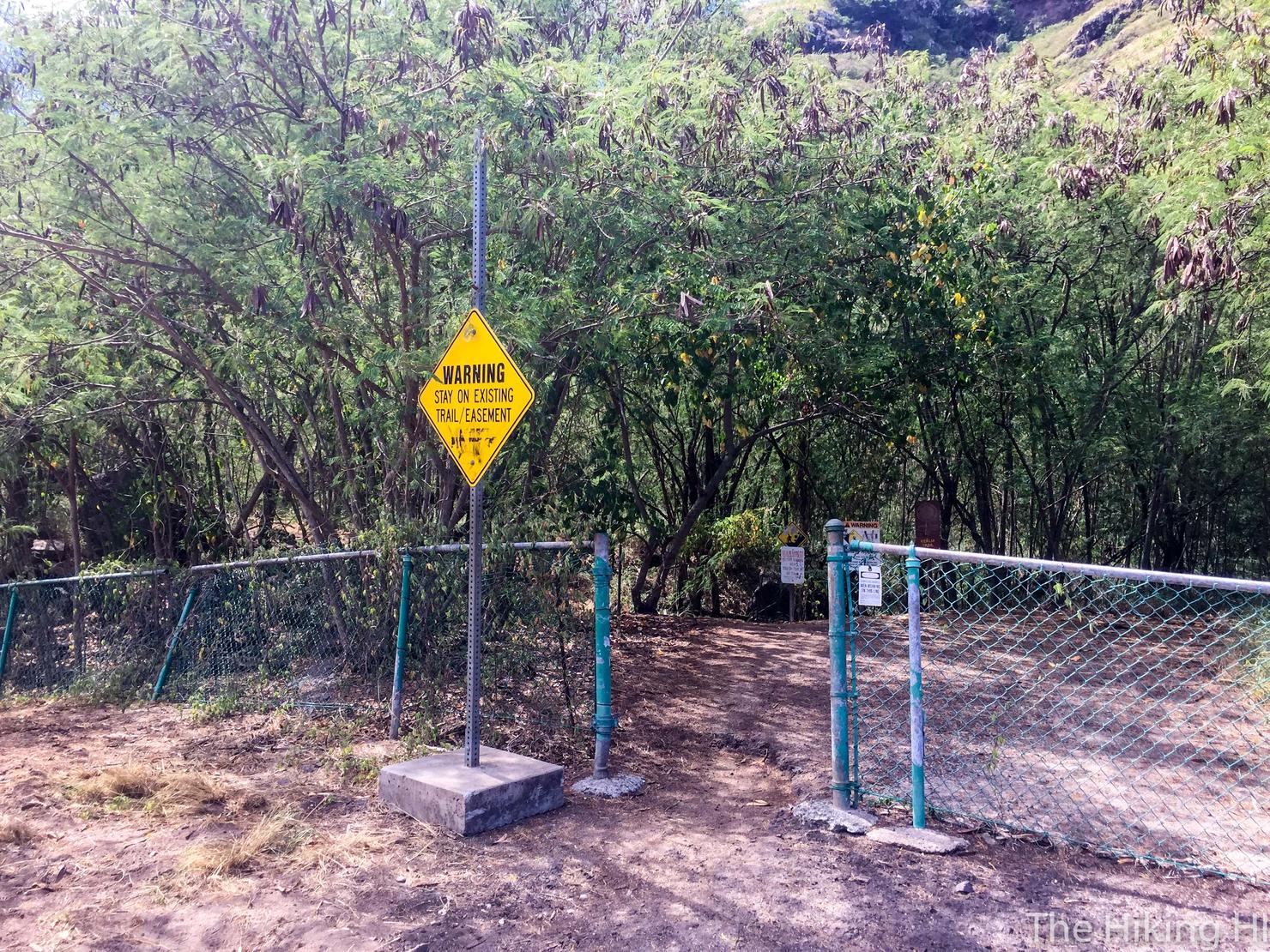
You will soon reach another fence. Go through the opening.
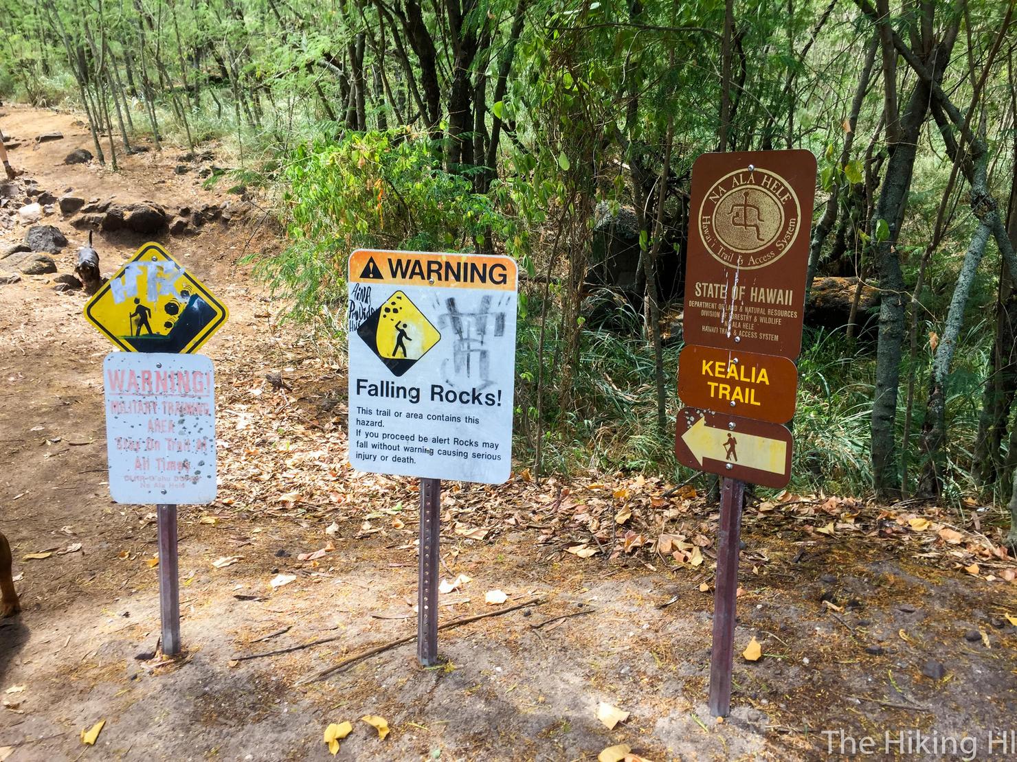
And you will reach another trail sign. It's ascent time!
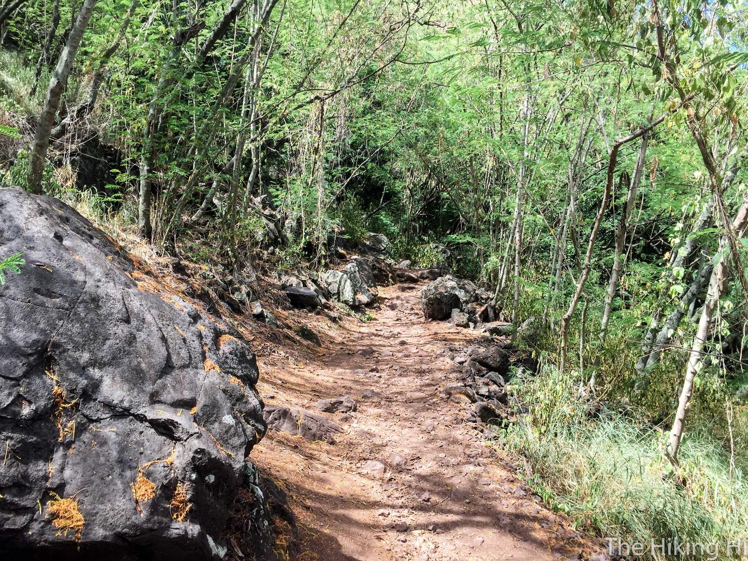
The first several switchbacks are in the trees.
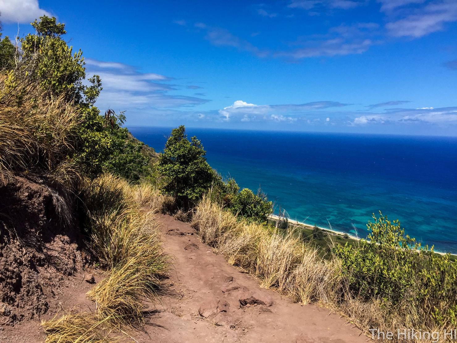
But soon enough, it will open up.
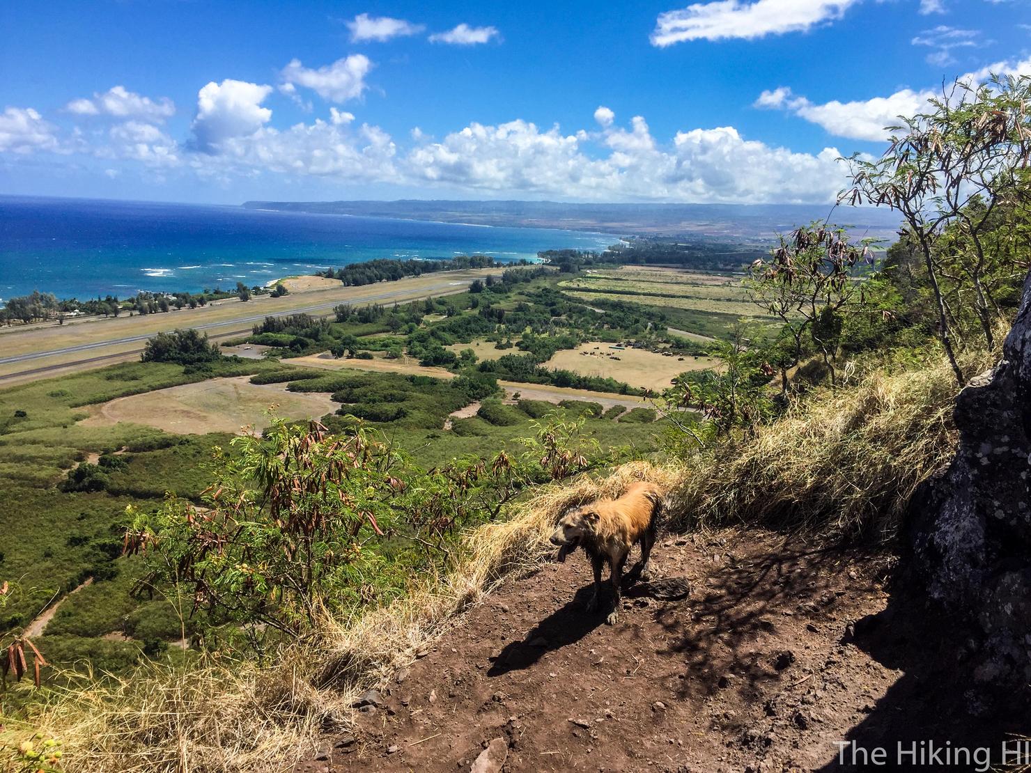
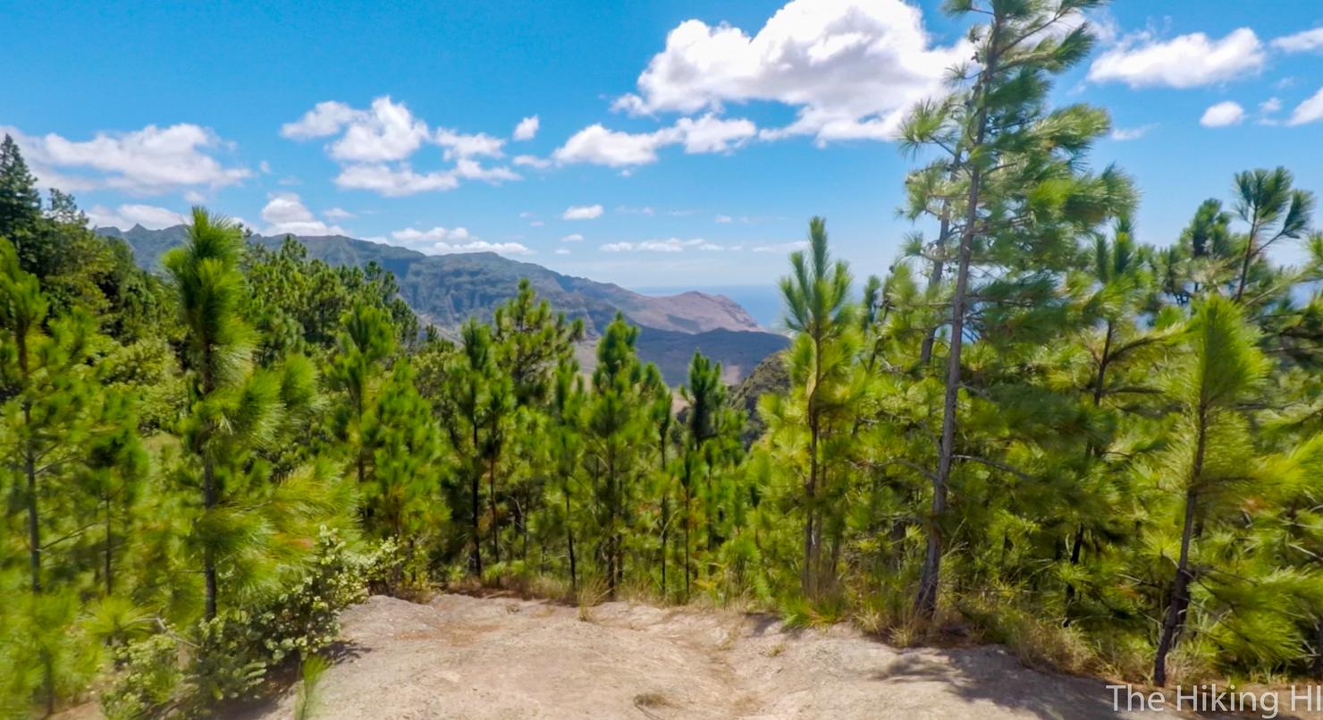
And you will get these spectacular views. There aren't that many North Shore hikes, so looking at its landscape from above is a real treat for me. This is also a great hike for dogs. I came across at least 8 doggos during my ascent. This guy didn't want to stay with his owner. He was taking in the views, just like me.
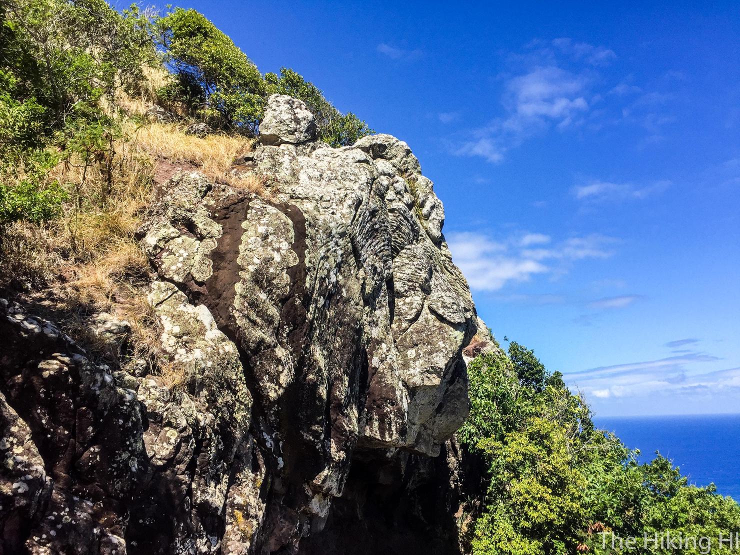
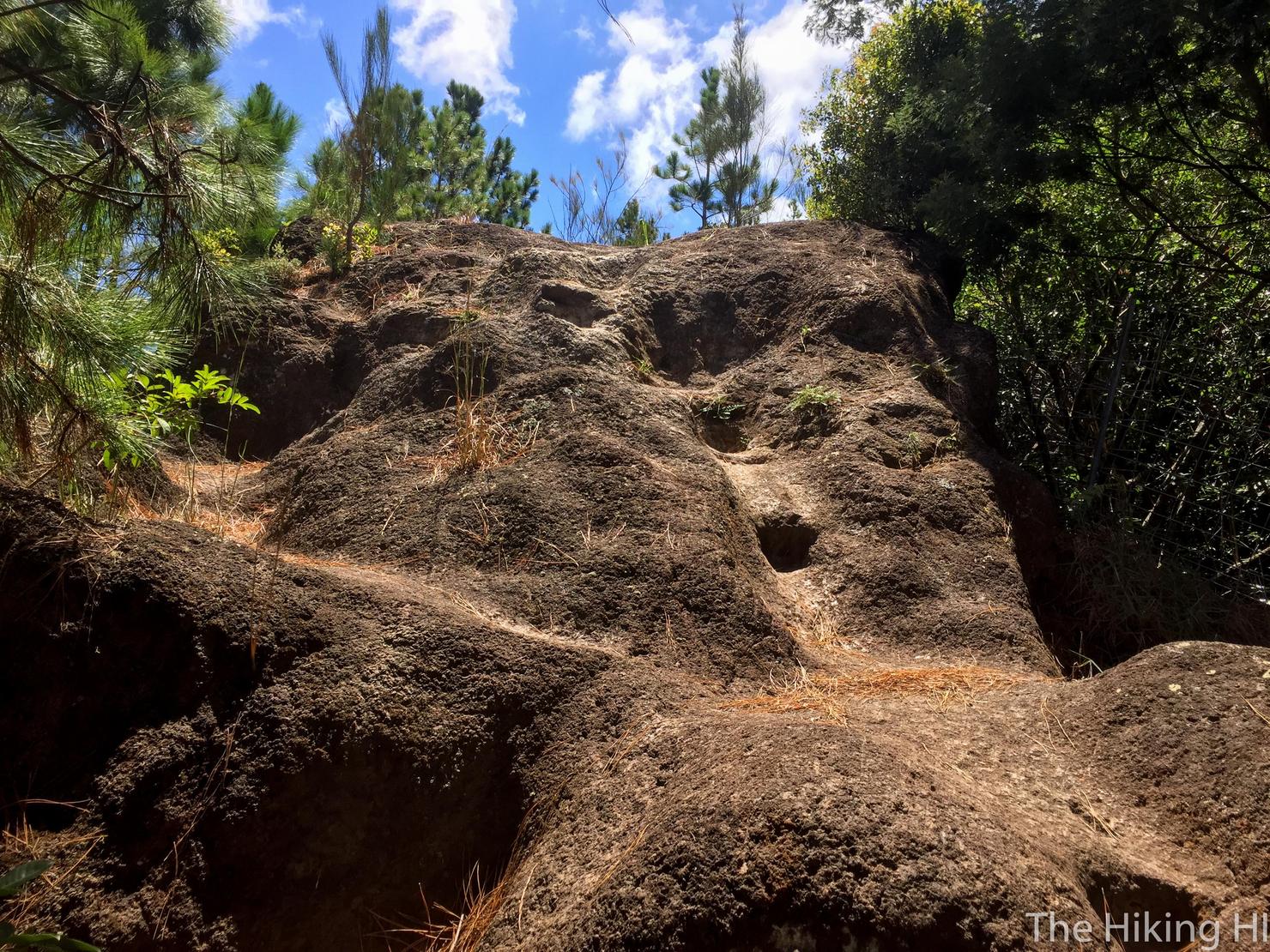
Some of the rocks were interesting to look at. They had unique cracks and textures. It reminded me of some of the volcanic rocks I'd seen on the Big Island a few weeks ago.
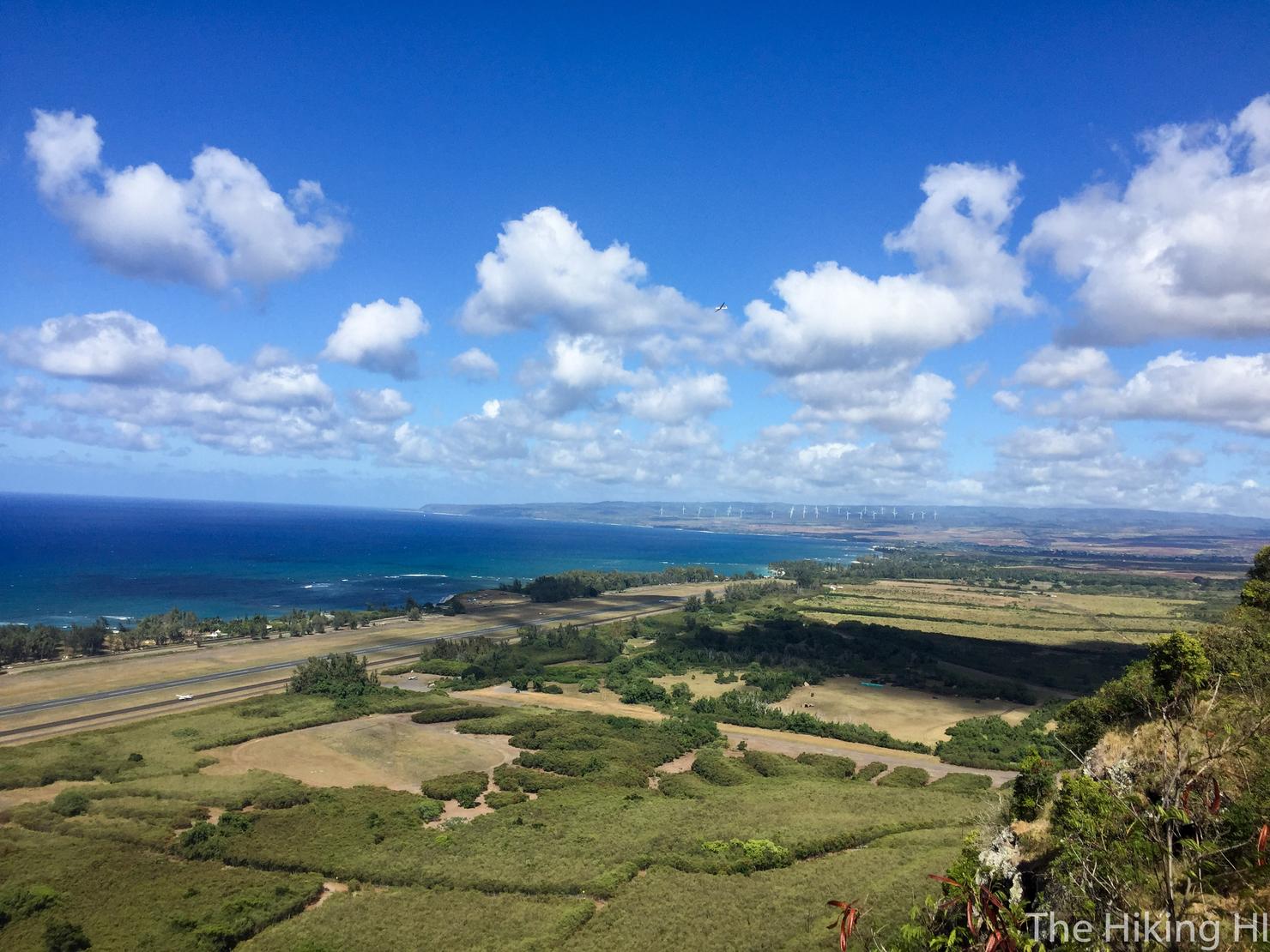
But back to those views. You can barely see it, but there's an aircraft in the center of the photo. This isn't actually a plane, but a glider, a motorless plane that is towed by another plane to a certain altitude and released. No clue how you get into that hobby but it did look fun. This area is also the spot for skydiving, so don't be surprised if you see a slew of objects falling from the sky.
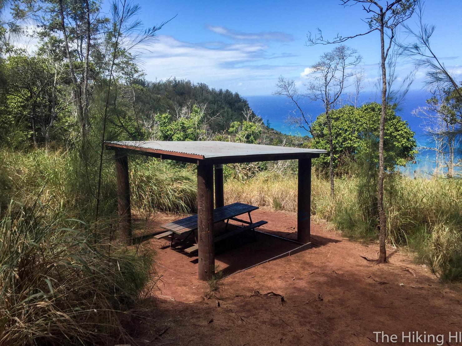
After about 45 minutes I had reached the end of the switchback portion. This bench is a great spot for a little snack/water break.
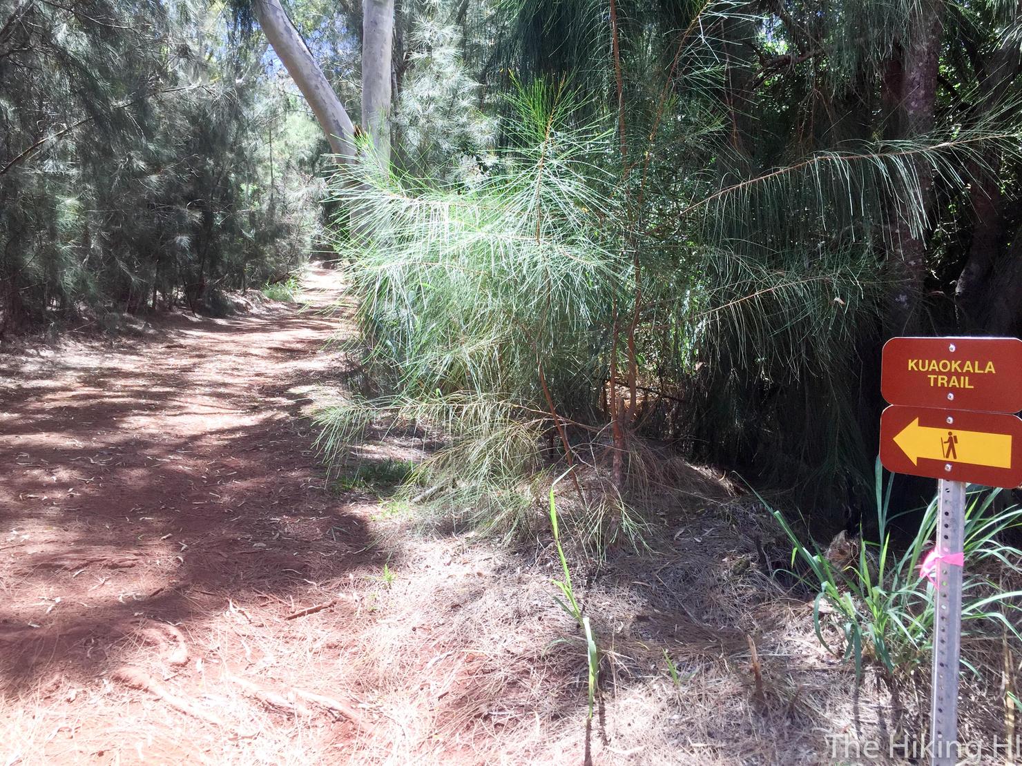
From here, the official Kealia portion of the trail ends and you are now hiking on Kuaokola road. The goal for me was to take this road to a point where I could see Makua Valley, which would end up being a 7ish mile hike.
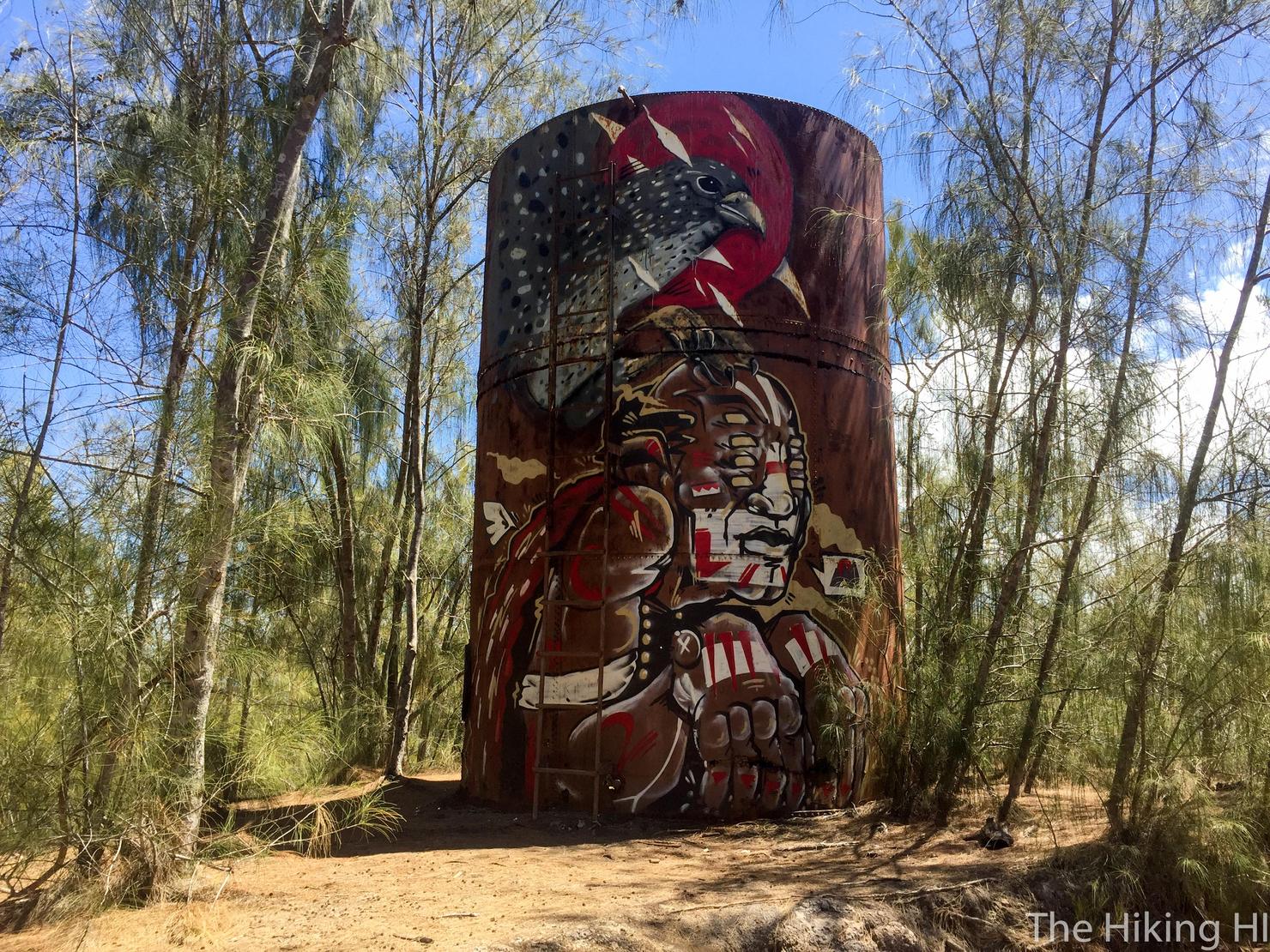
Shortly into the hike you will get a glimpse of this sweet looking tower. Last time I did this hike, the design was the same, so it's good to see nobody painted over it. You can climb up and see what's inside if you wish, but I'm guessing you will just find trash.
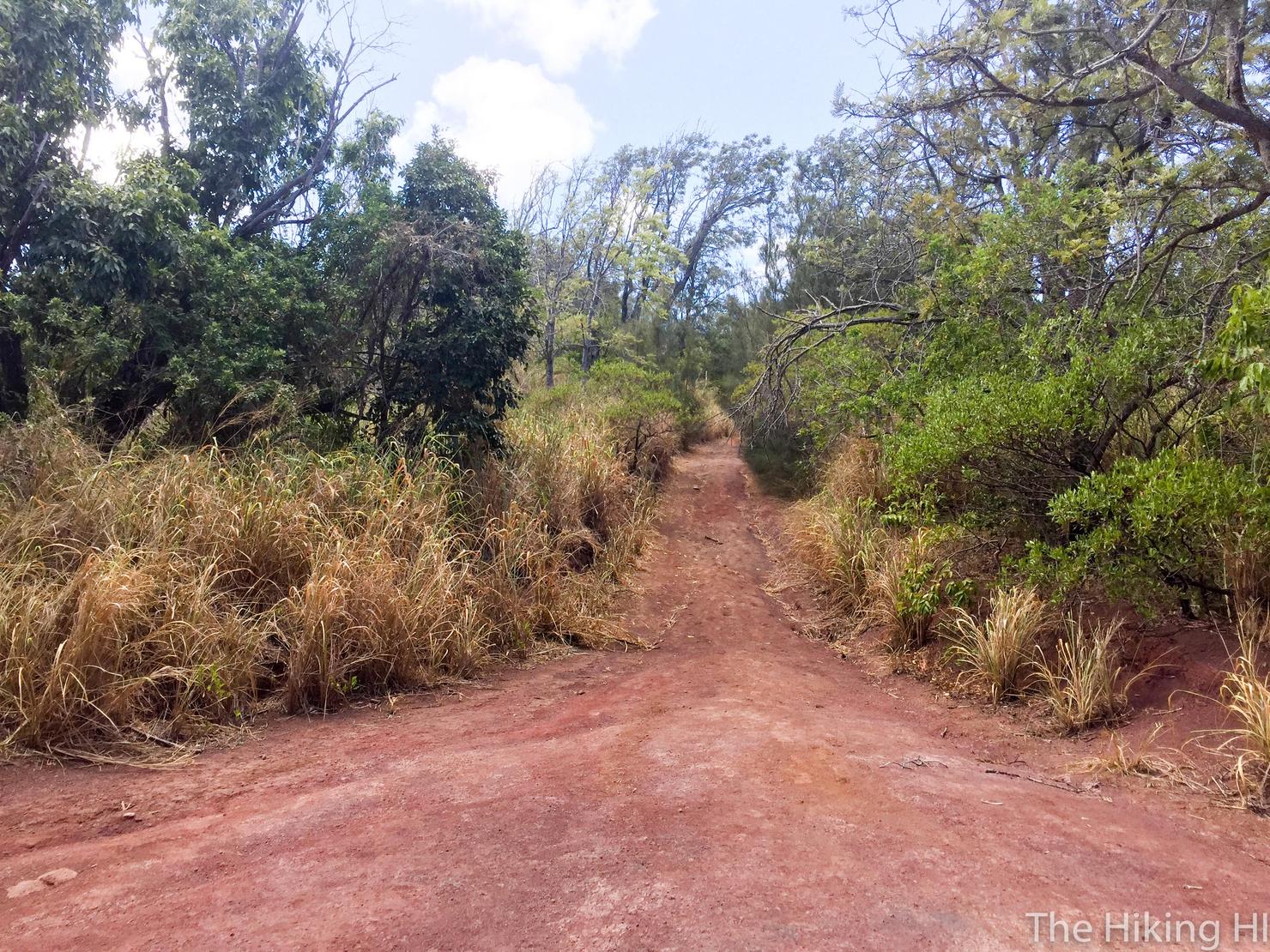
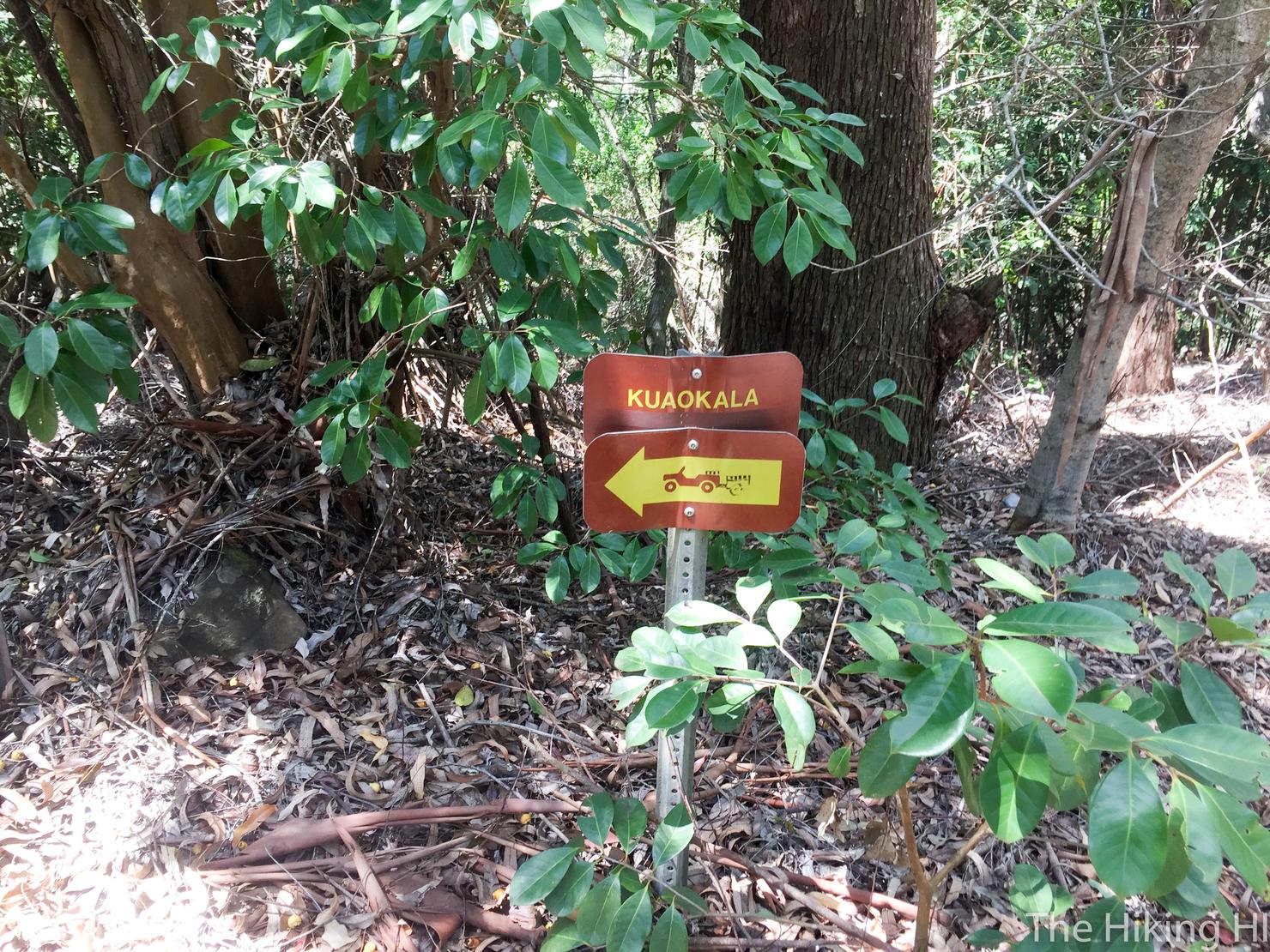
There are quite a few turns on this hike if your goal is to get a view of Makua Valley. The key is to follow the signs for Kuaokola Road. Take a right at this first big junction.
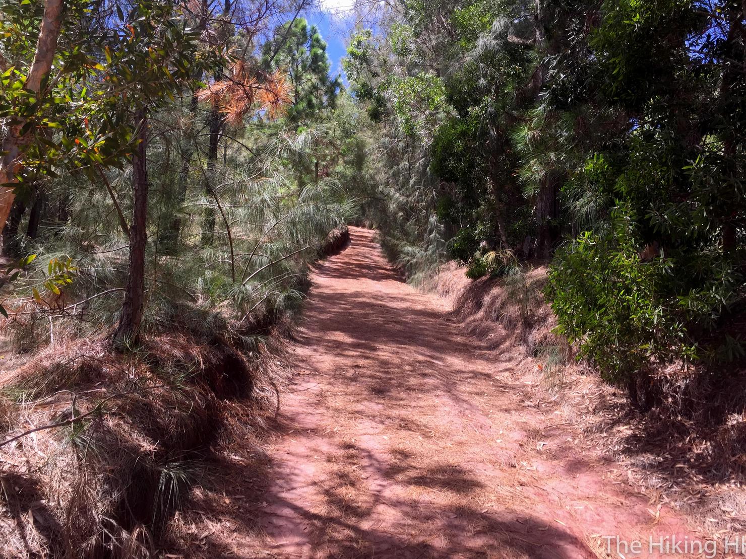
This road does get a little boring since there are no views and it can get steep.
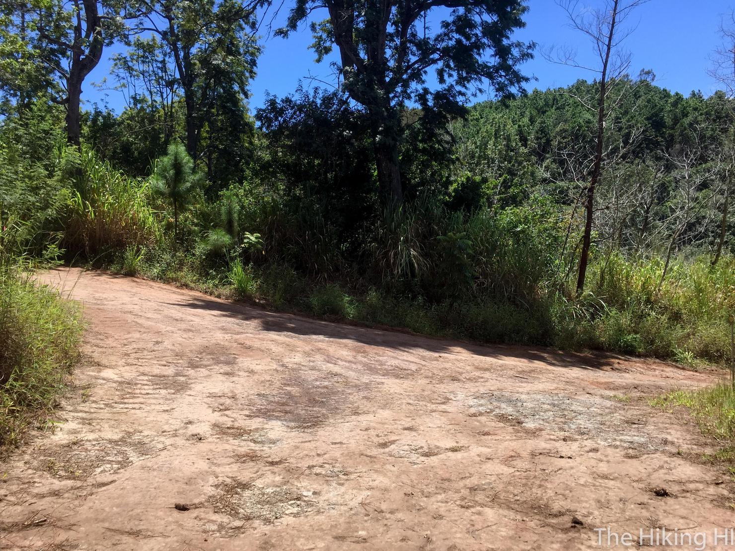
We're on the right path! Turns out you can actually drive on this road as it is a popular camping and hunting area, but you do need a permit.
Another three way junction. To continue, go LEFT and uphill.

And soon after, another fork. To stay on Kuaokola, head right and uphill.
Like I said, the signs should get you there.
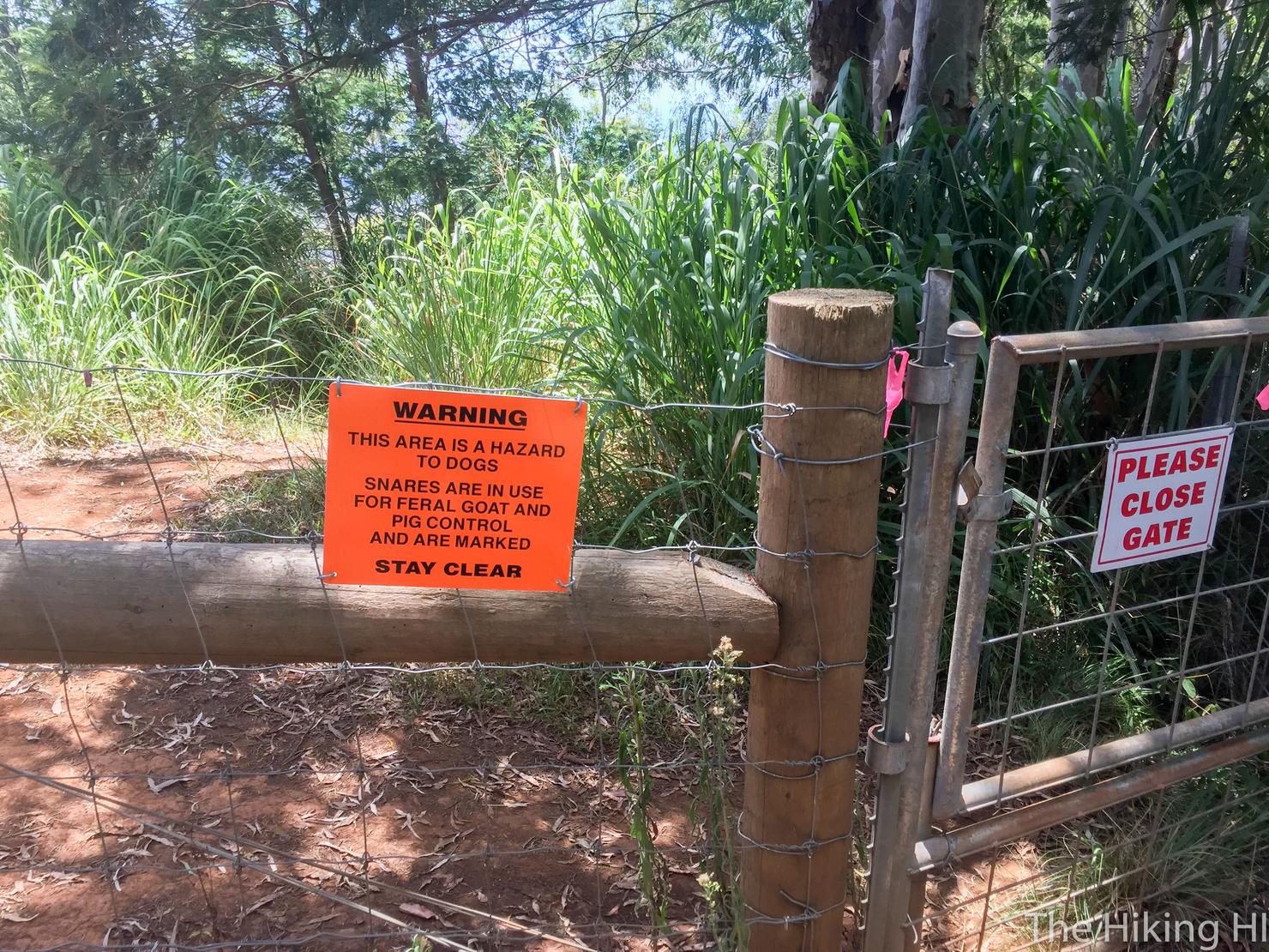
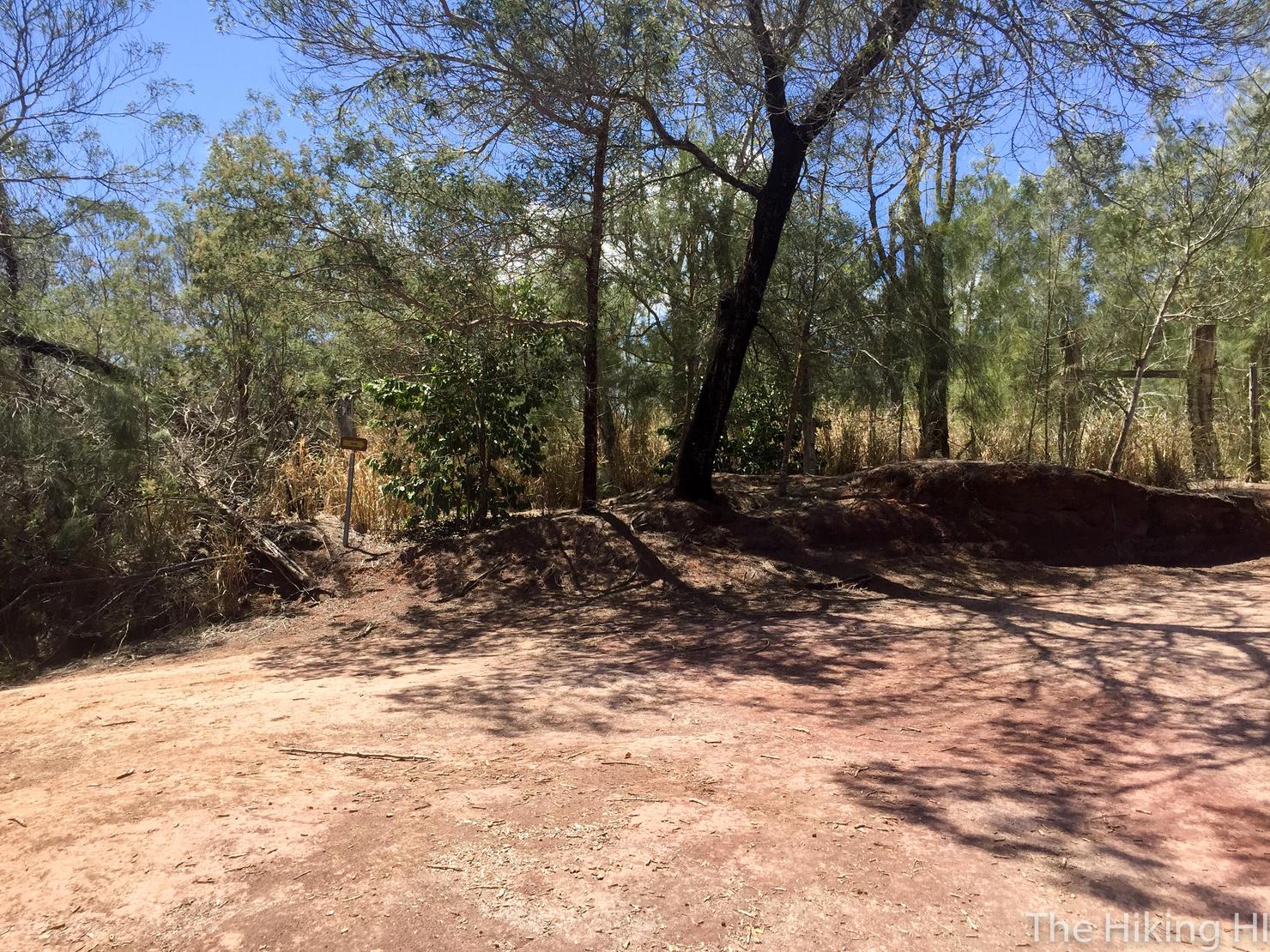
Eventually, you will run into a fence. To get to the Makua Valley views, you must go through the fence. I recommend adhering to the sign and closing the gate, we don't want any feral pigs or goats running around the North Shore. Although maybe that would scare away some of the tourists...
After you go through the fence, it will look like you can go left or right. I started going left, but it quickly got overgrown. I backtracked and went right, which started with a short downhill. The path is obvious as it just follows along the fence.
But soon it went back uphill.
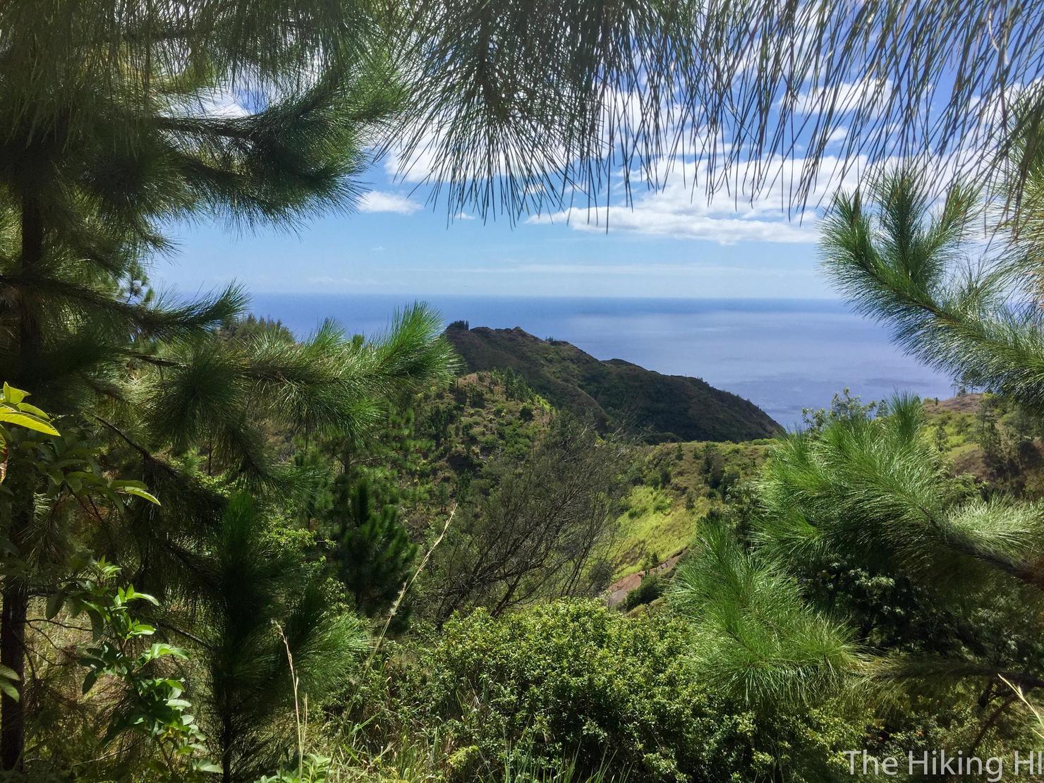
If you look left, you will get your first glimpses of Makua Valley.
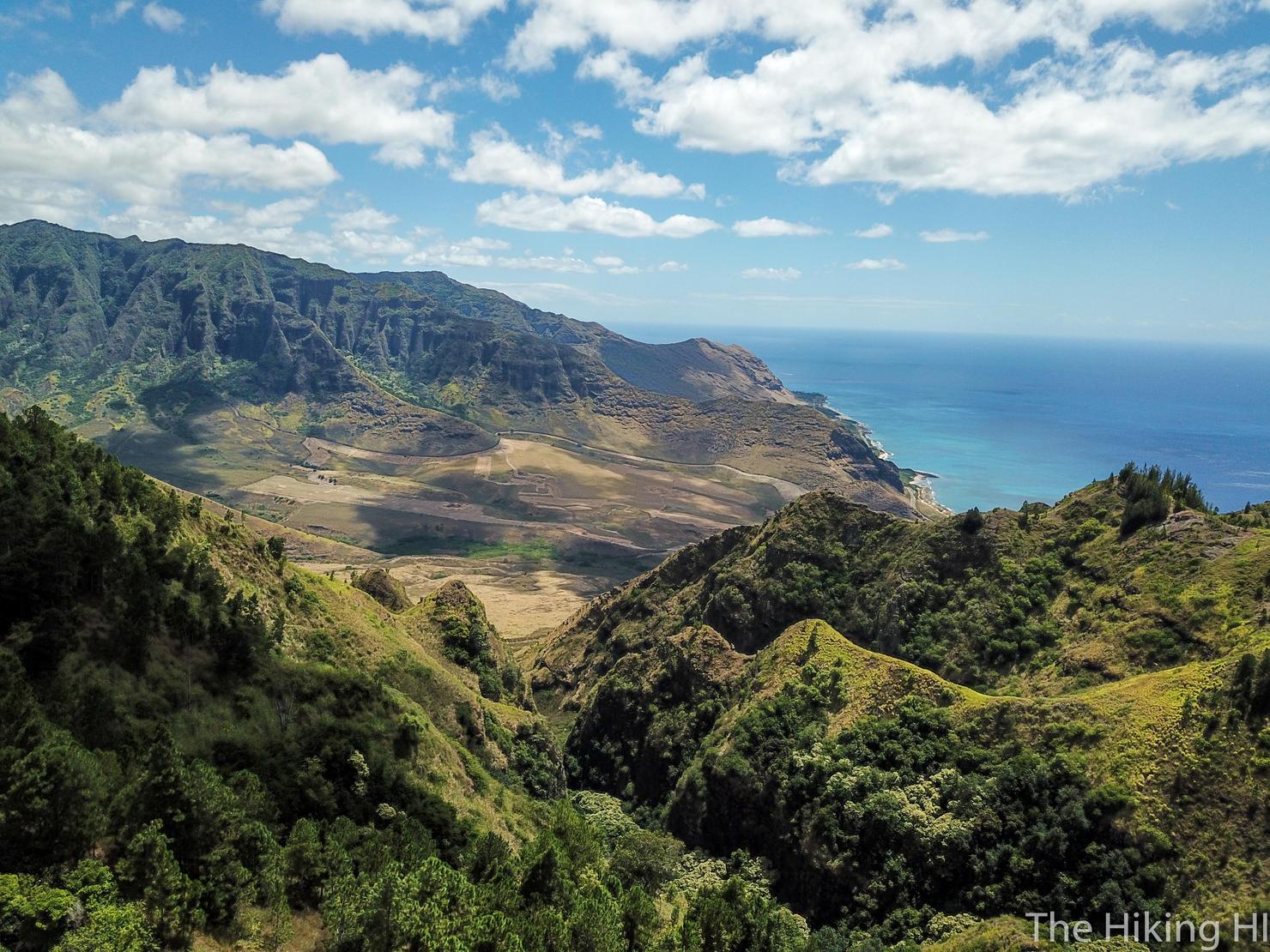
Eventually the trees open up and you can climb up on this rock for an even more expansive view of the valley. The ridge does go all the way to the ocean, but since I had gotten a late start, I decided this area would be my turnaround point.
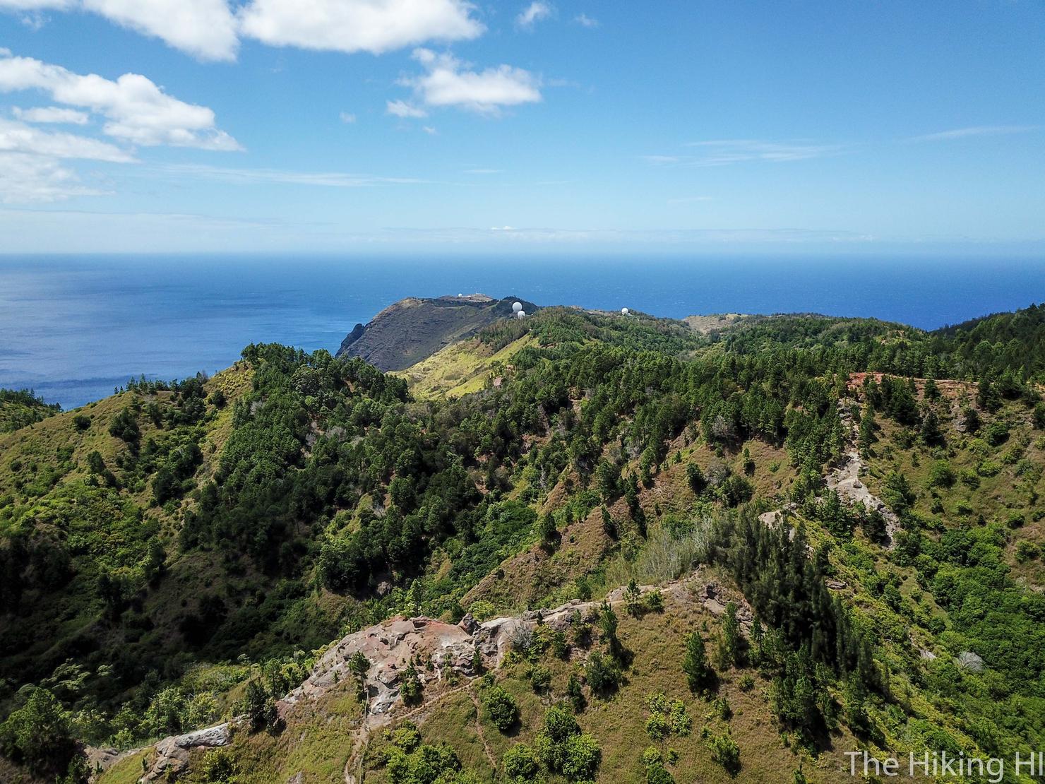
But I did allow for a little drone playtime. This is a shot looking North. The landscape feels so different out here. It almost feels like I'm in the Midwest.
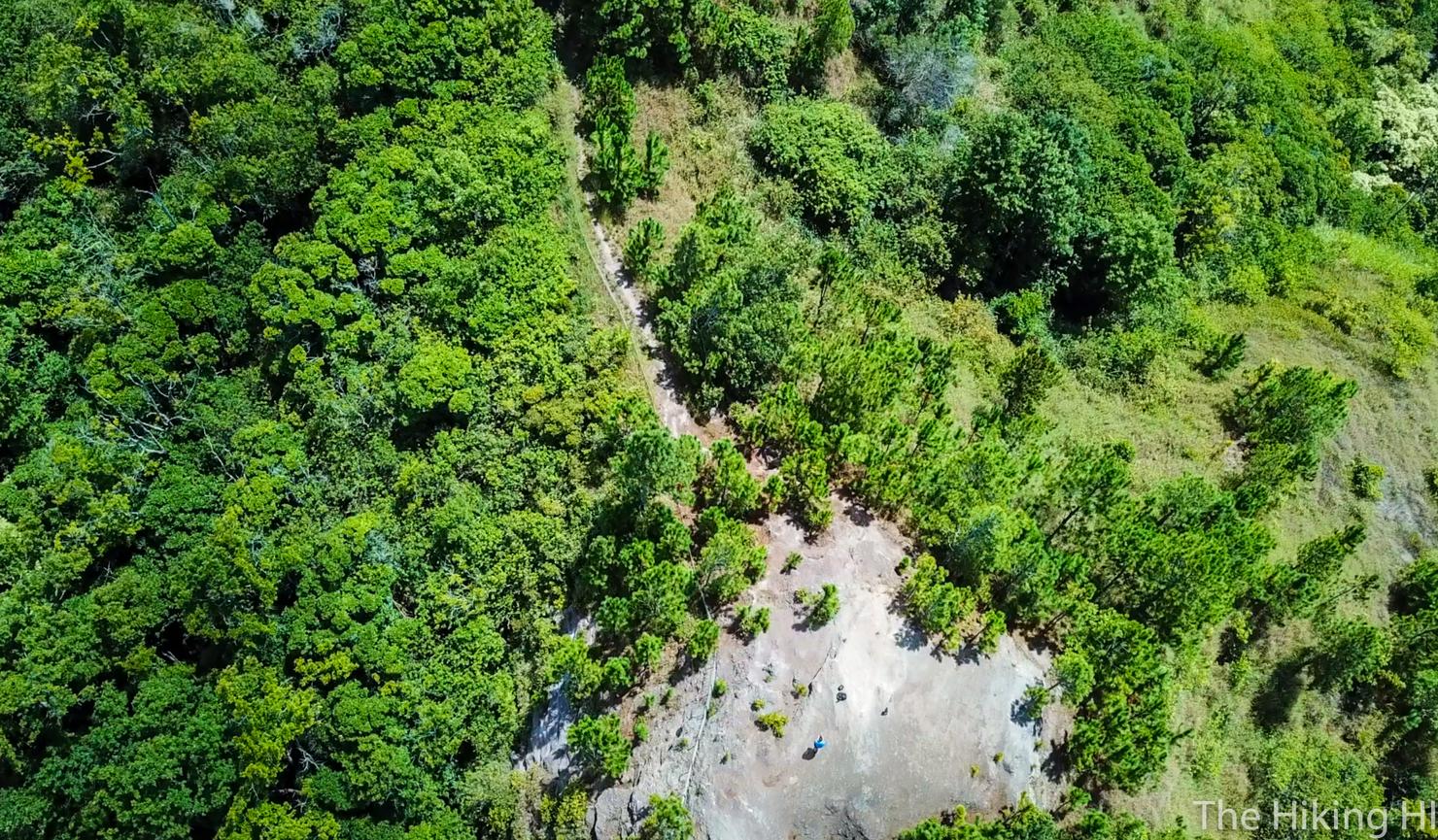
Can you see me?
And here's a shot of the West Side and Makua Valley. It was so pleasant to be able to experience beautiful and remote part of the island. I can't wait to come back.
Check out my video of this hike!