Difficulty: INTERMEDIATE
Time: 4-6 HOURS
Distance: 8 MILES
Elevation Gain: 300 FEET
Foot Traffic: LOW
Challenges: Uneven Footing, Sharp Rock
Sights: Mauna Kea, Mauna Loa, Lava Fields, Emesine Lava Tube
What to Bring: Sturdy shoes, Water, Snack, Flashlight, Sunscreen
This hike near Hilo takes you through miles of lava fields created from the Mauna Loa eruptions of 1855 and 1881 while also giving you great views of Mauna Loa itself and the taller Mauna Kea. You will walk through several kipukas, the old forests spared by the lava which are home to many endemic bird species. This hike also contains the Emesine Lava Tube, a long tunnel created from the lava flow. This is one of the more remote hikes on the island that allows you to experience a variety of unique history and beauty in one journey.
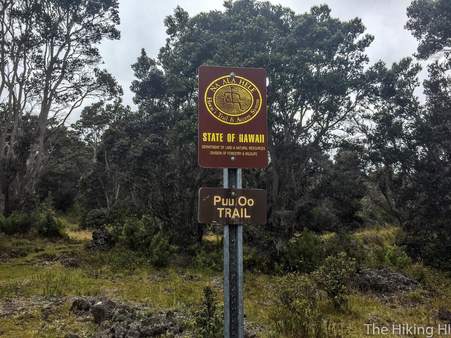
It was Day 1 of my Labor Day Weekend trip to the Big Island. I had landed, gotten some breakfast, dropped off my bags at my AirBnB and now it was time to hike! I had most of my hikes planned for the weekend. First up was the Pu'u O'o Trail, a long hike located in the center of the island through the old lava fields near Mauna Loa.
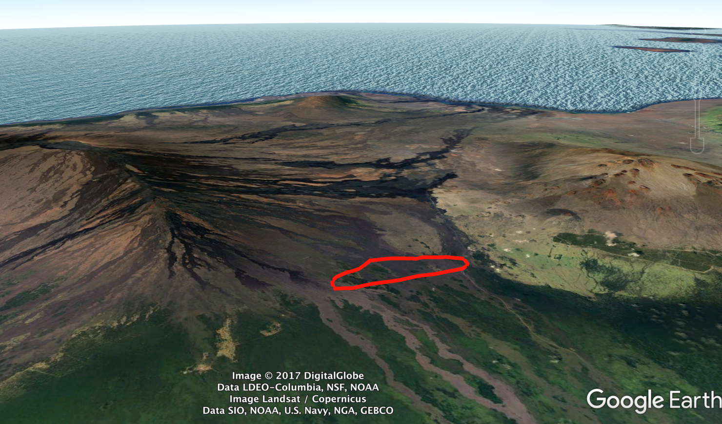
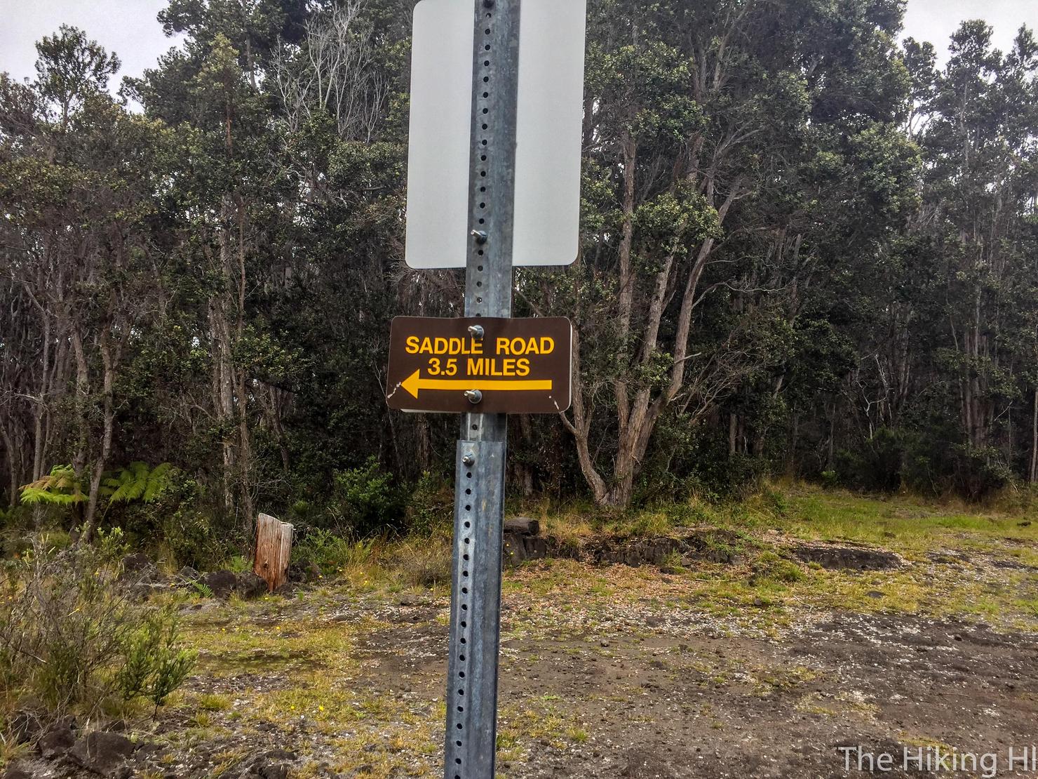
A snapshot of the hike. The hike starts just off Saddle Road, the highway that connects the east and west sides of the island. The plan was to follow the Pu'u O'o Trail towards Mauna Loa (counterclockwise around the circle). I would then take the Powerline Trail back (bottom of the loop) to Saddle Road before walking along the highway back to my car.
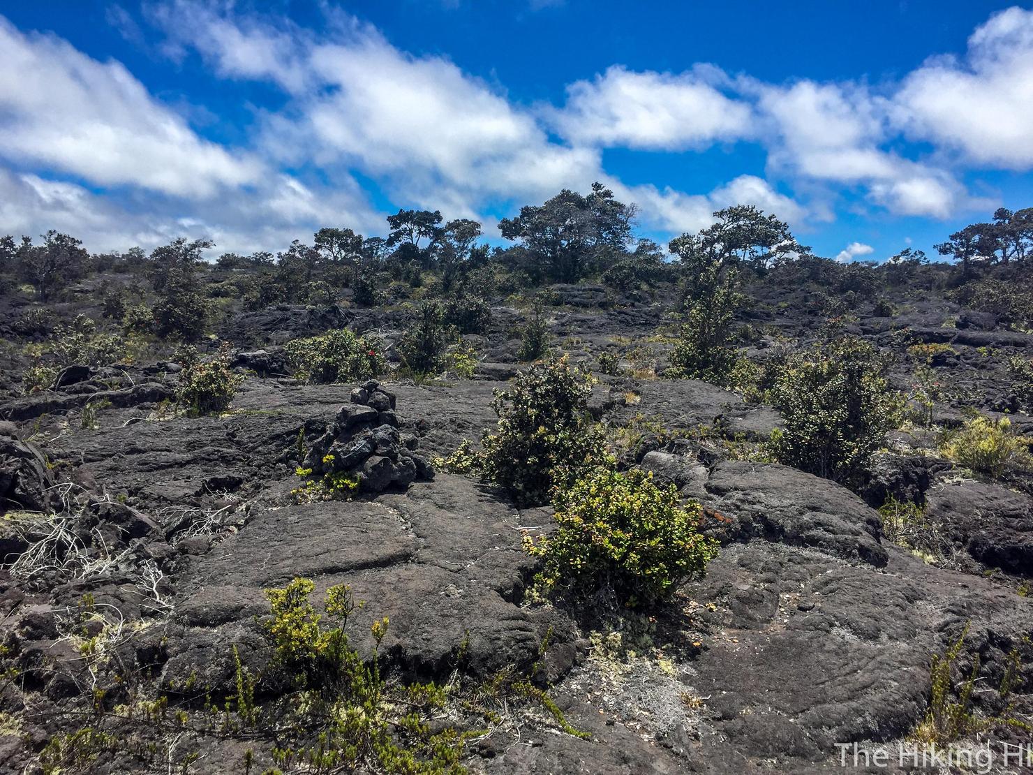
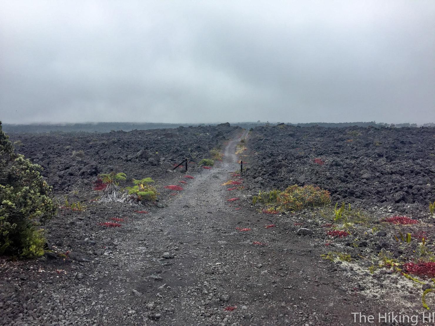
Let's begin! You will instantly get that volcanic feel as you the path is surrounded by crumbling black lava rocks.
The trail itself is relatively easy to follow. Just look for the rock cairns lining the beaten down path.
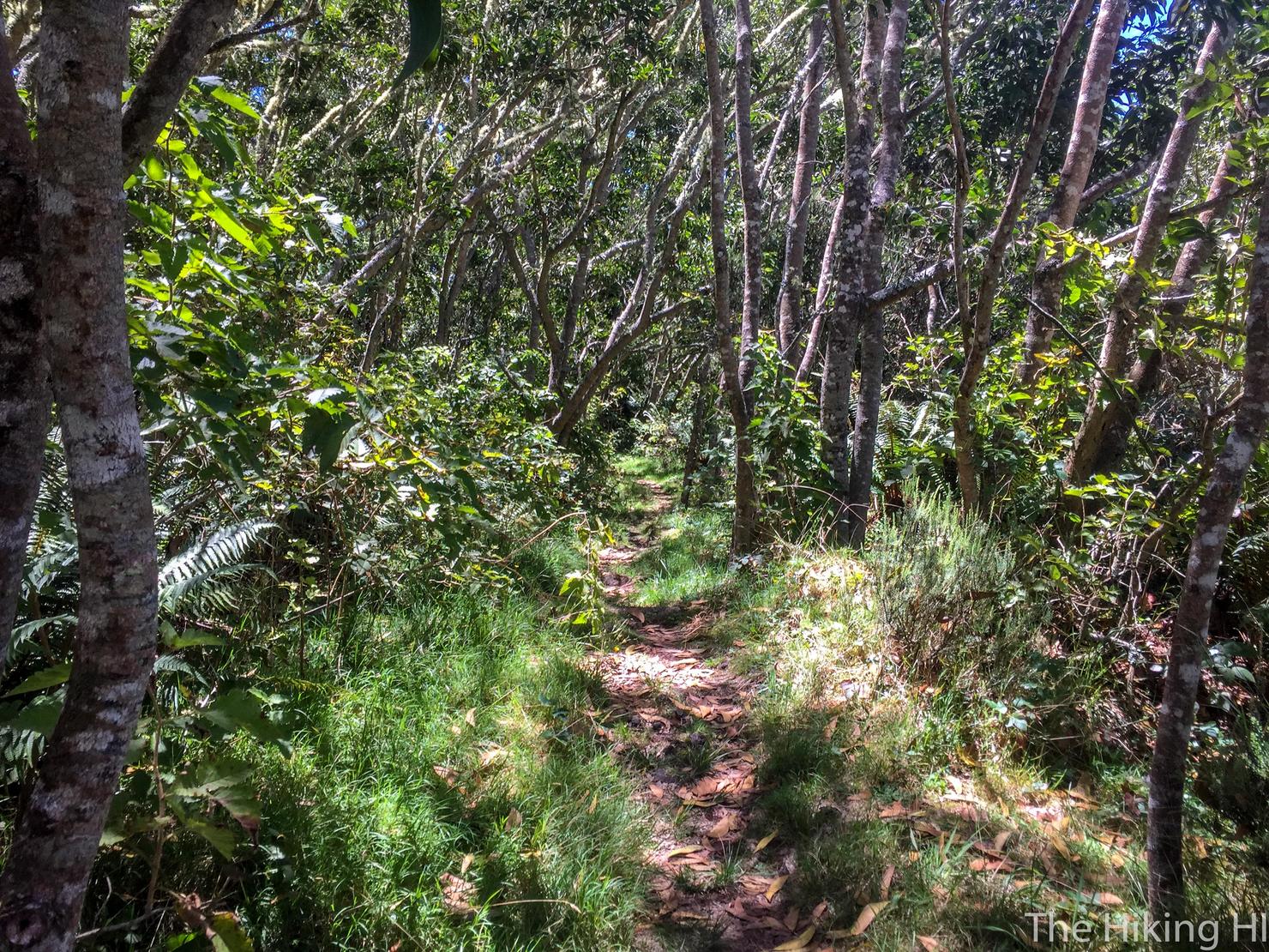
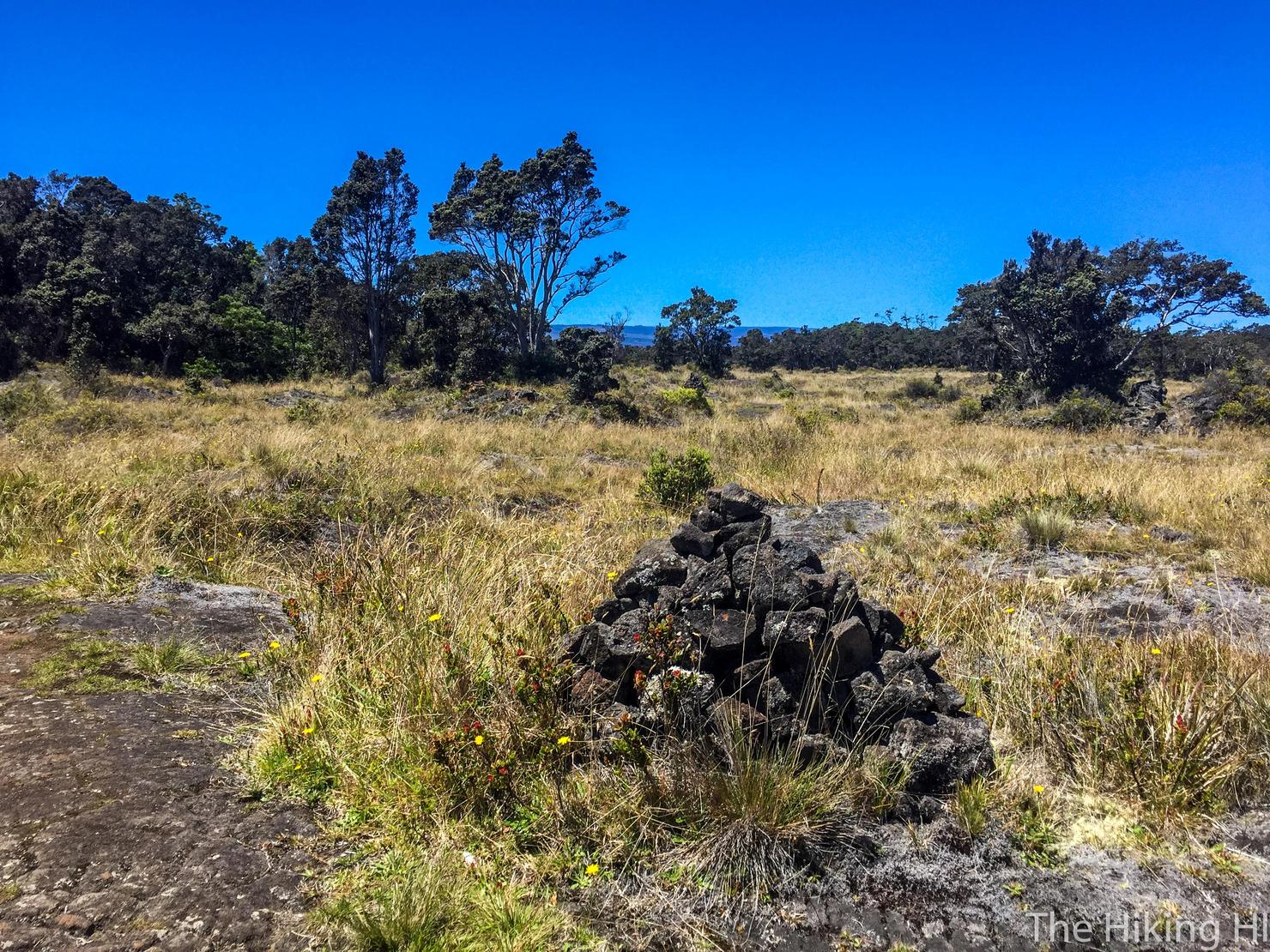
Most of this hike you will alternate walking through lava fields and heading through these kipukas, the old forests spared by the Mauna Loa lava flow. These forests are home to many endemic bird species, making this place a popular spot for birders. This site lists some of the species you could see. I'm not much of a birder, so I didn't really look. I was here to hike this unique and historic site.
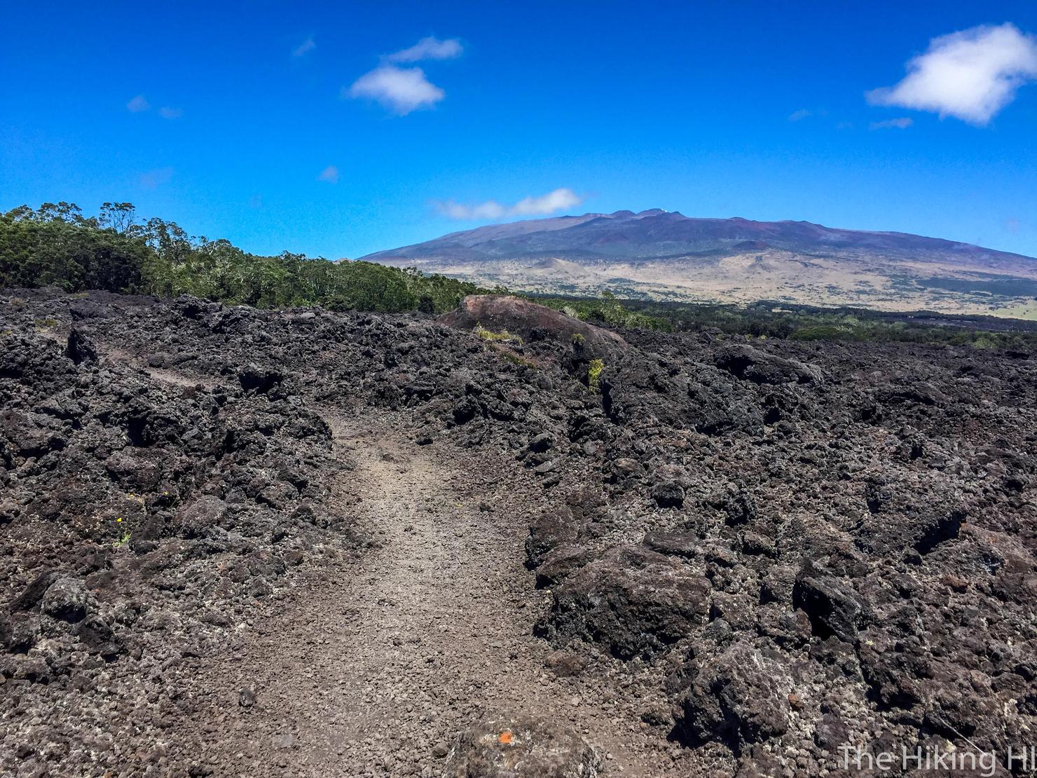
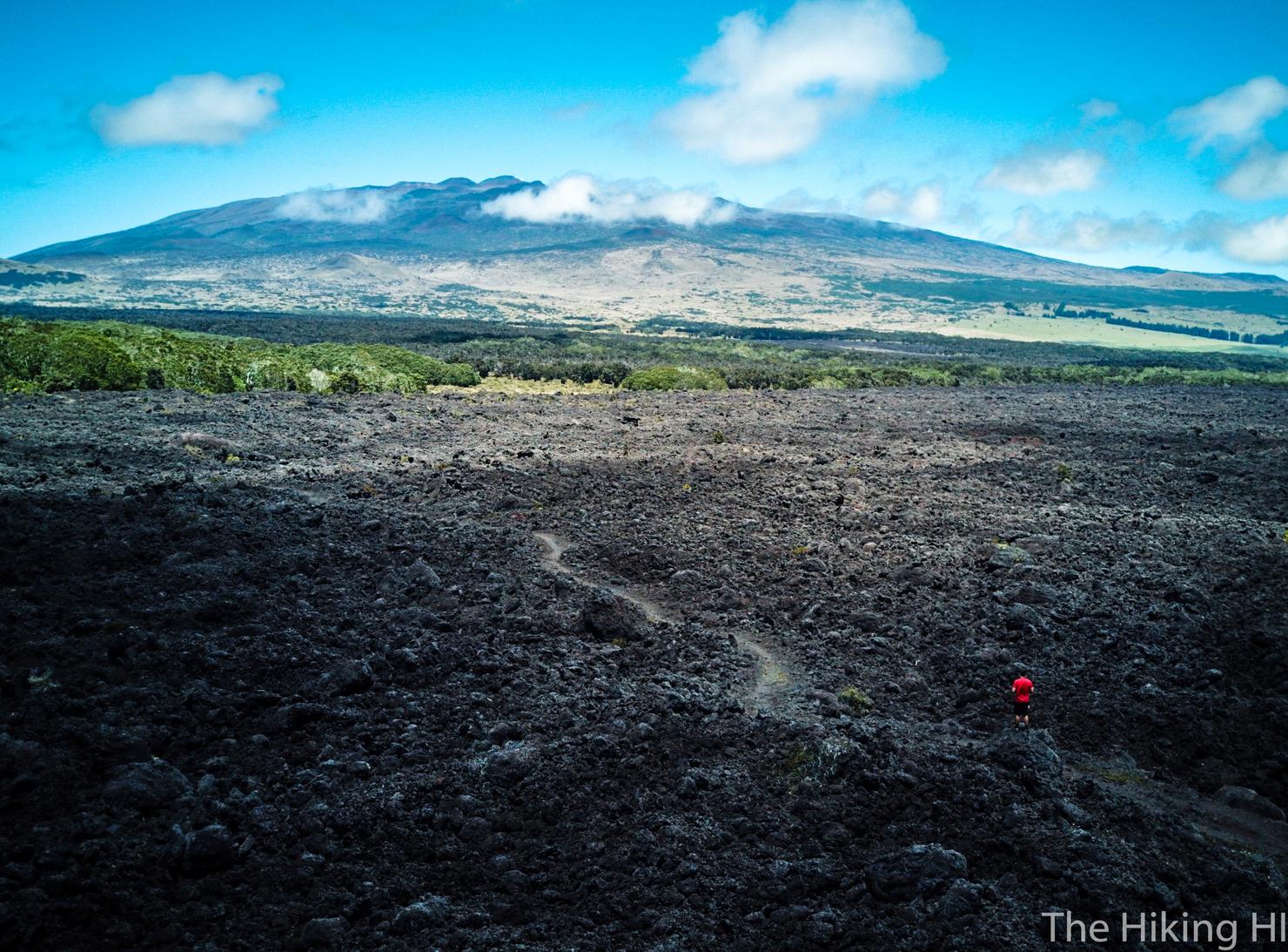
Here's another shot of the trail through the lava fields. That mountain in the background is Mauna Kea, the highest peak in all of the Hawaiian Islands at just under 14,000 feet. In two days, I planned to do a nearly 12 mile round trip hike to its summit. But first, let's get through Pu'u O'o.
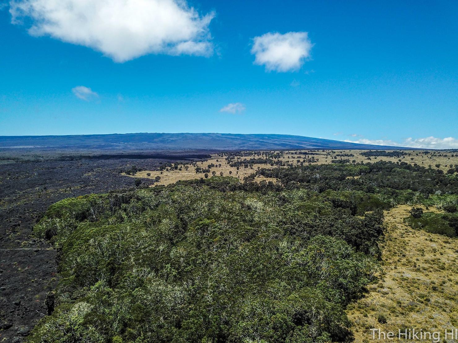
This lava field made for a great place to play with my drone. This shot captures the variance in the terrain. That mountain in the back is Mauna Loa, the second highest peak in the Hawaiian Islands. Mauna Loa in Hawaiian means "Long Mountain." I think this does a good job of capturing why it is called that.
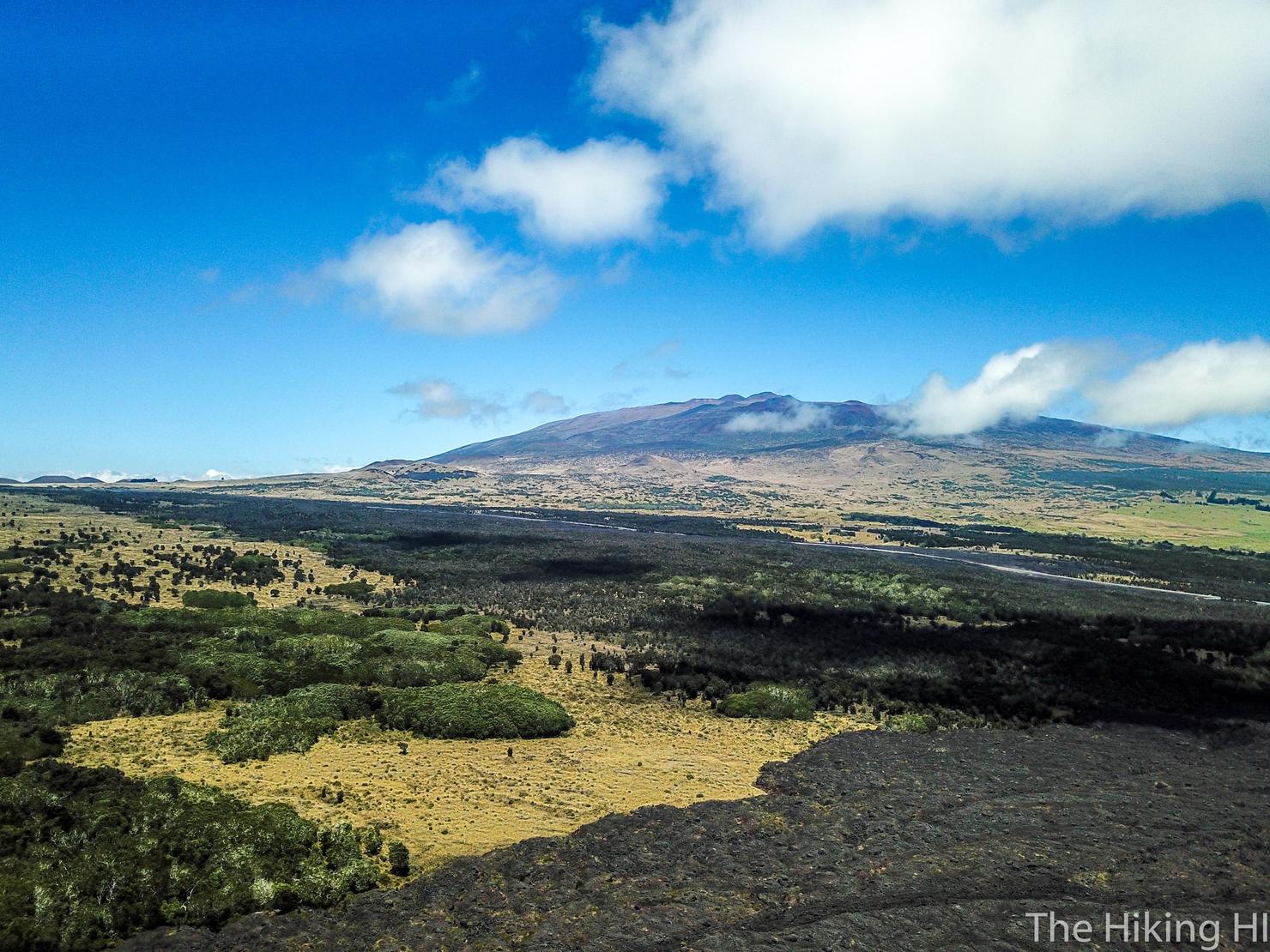
Another aerial shot, this time with Mauna Kea. Just in front of the mountain you can see Saddle Road, where we started this hike. We've already come quite a long way.
But we've still got a long way to go. The farther you get into the hike, the more spaced out these cairns become. I still didn't have too much trouble finding them, but you do have to pay a bit more attention.
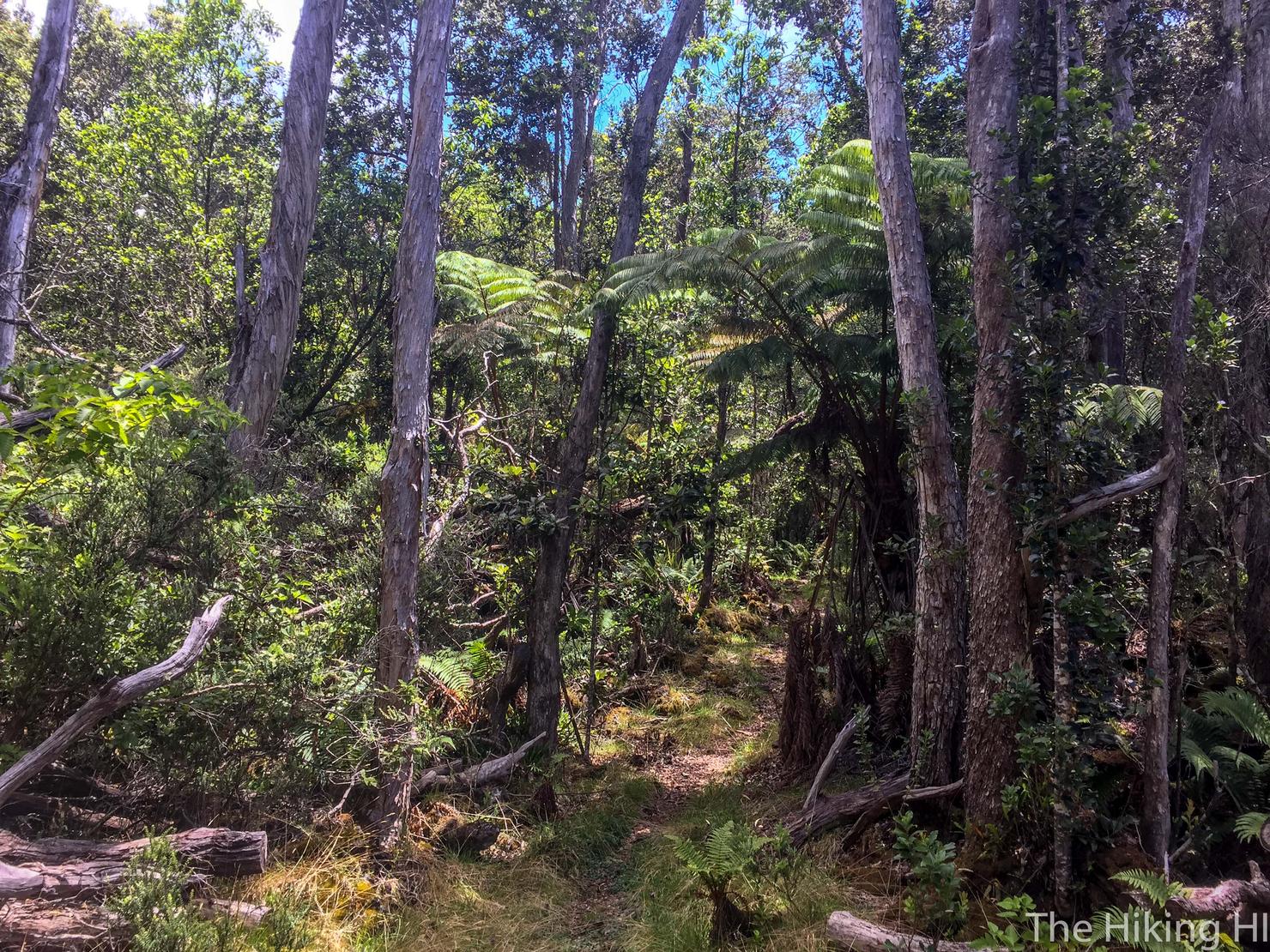
The many kipukas were always a nice break in scenery from the lava fields and they were very pretty to look at.
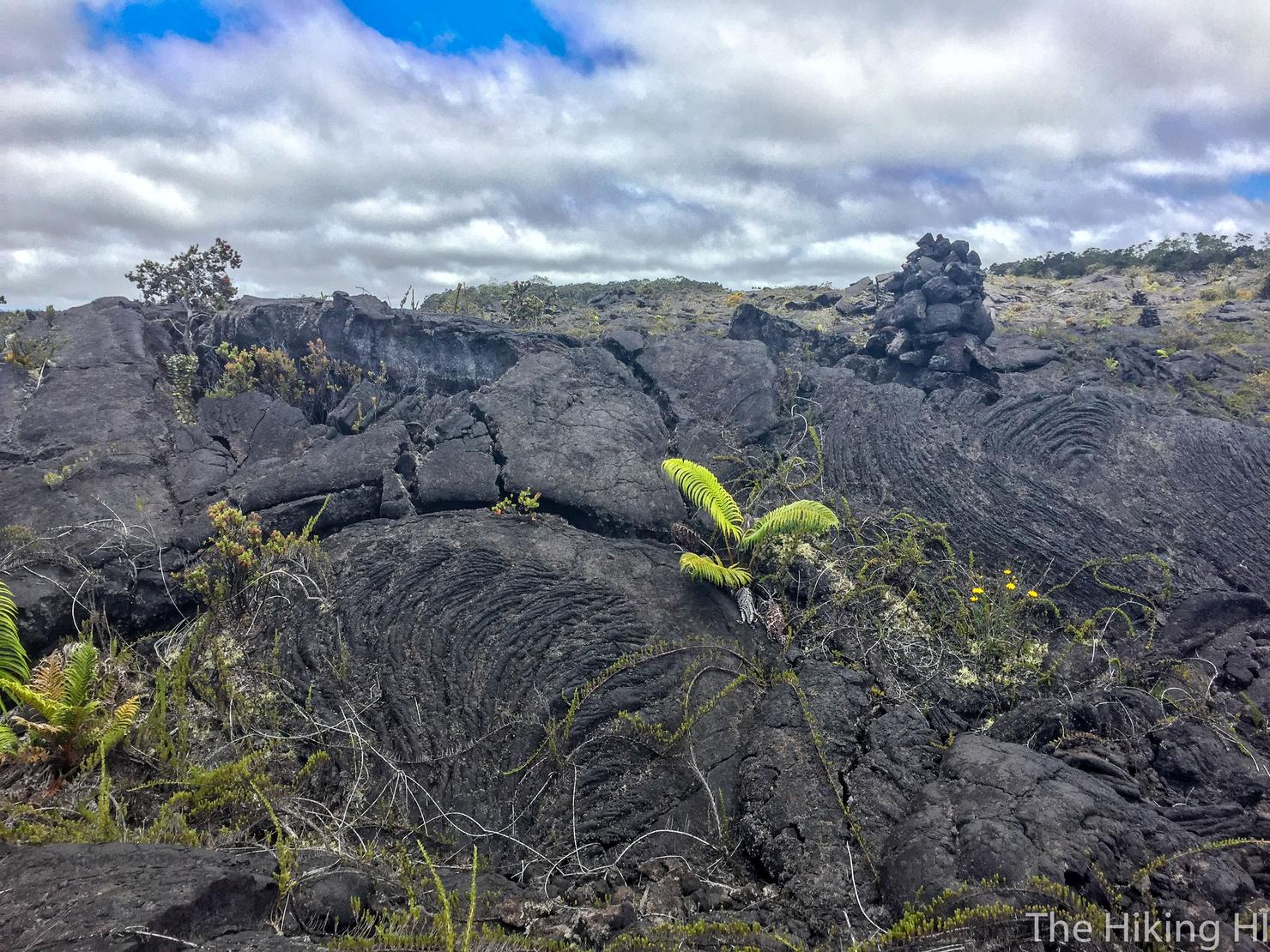
If you look more closely at some of the rocks, you can see some interesting looking grooves created from the lava. It really reminded my of my hike to the ocean lava flow over in Volcanoes National Park last December.
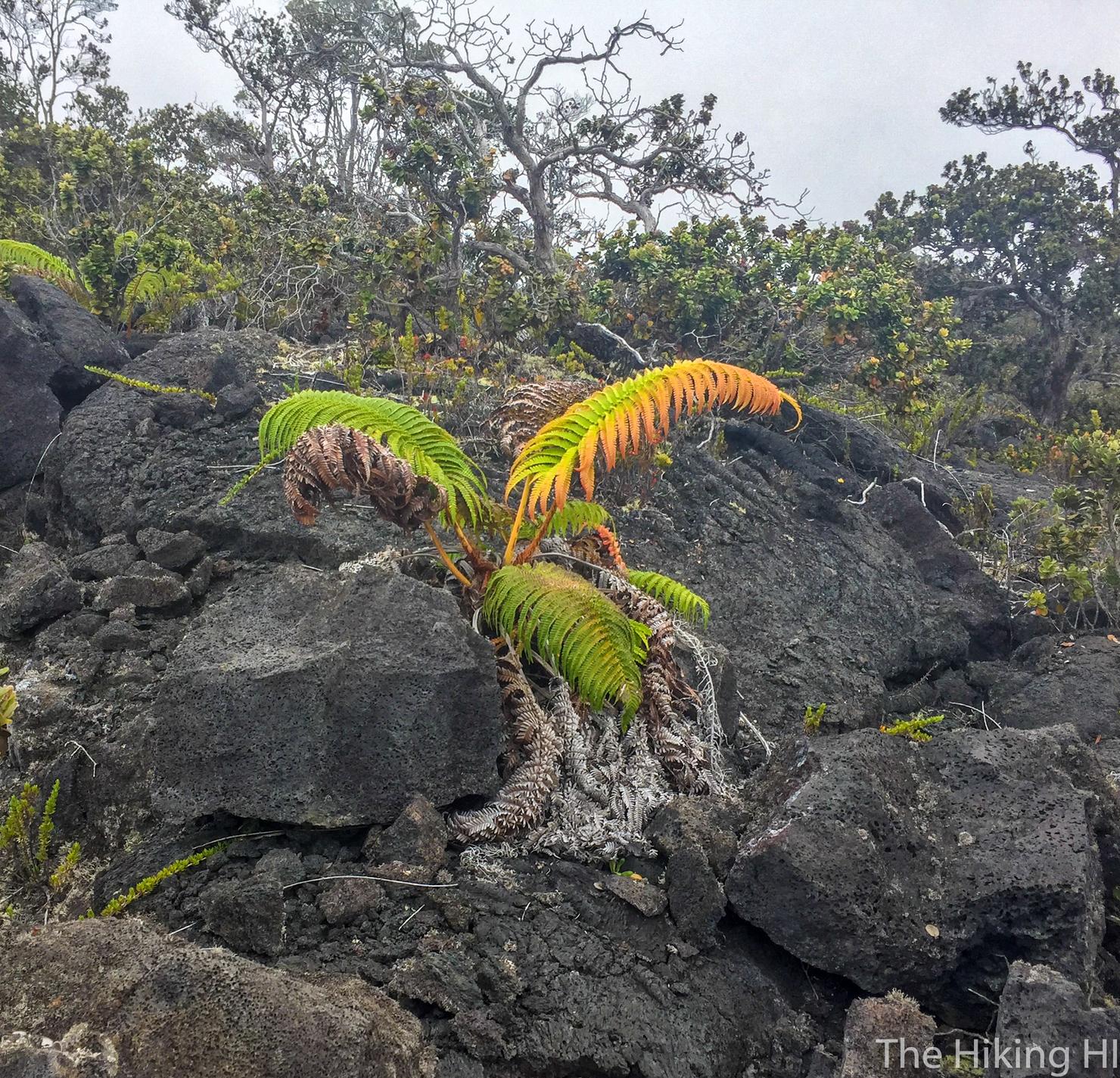
I'm not sure what type of plant this is but I thought it was very pretty among all the dark rock.
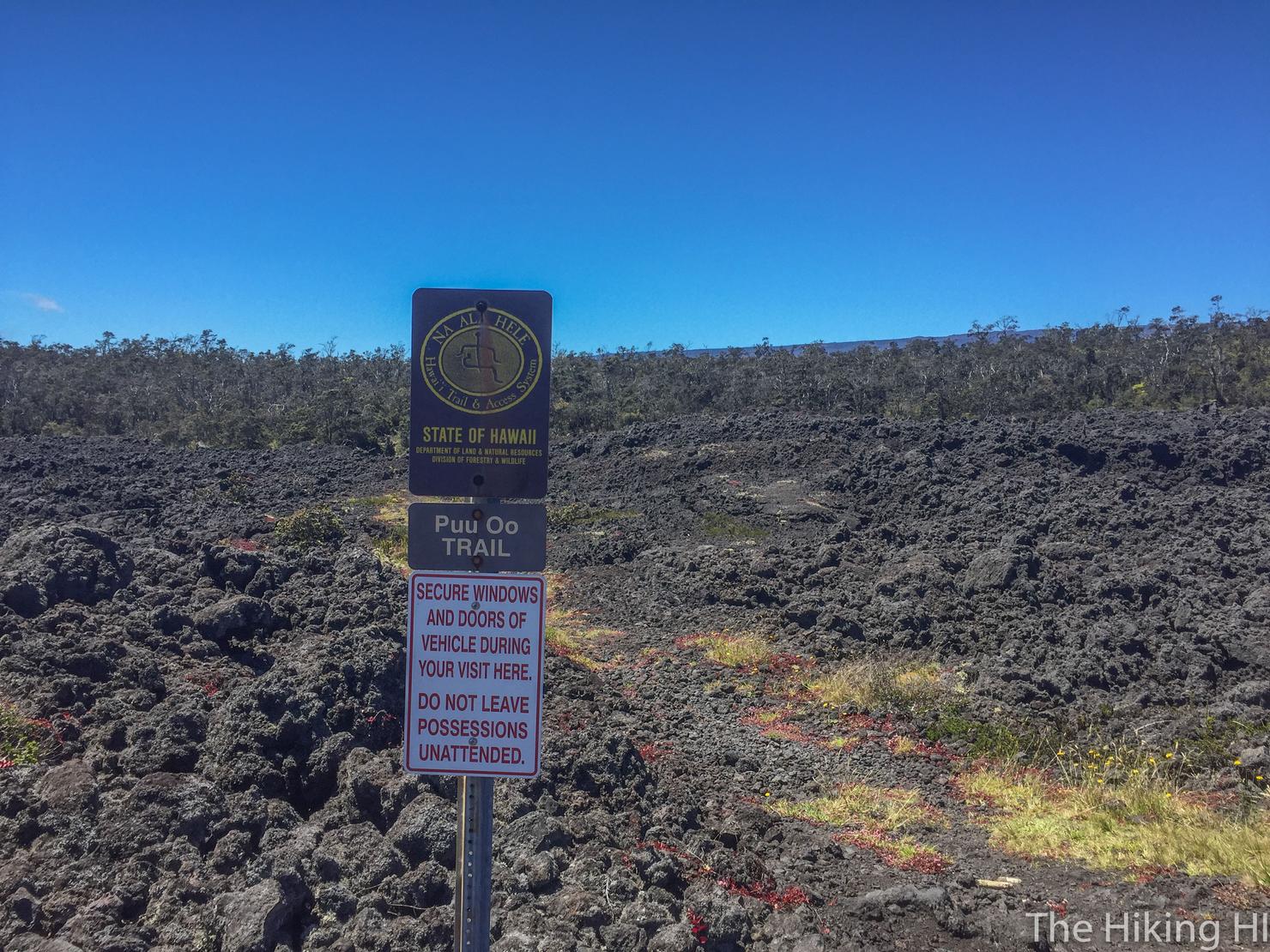
If you keep following the cairs, you will come out of one of the forests and run into these signs. This is the intersection point of Pu'u O'o Trail and the Powerline Trail. This trail does keep going, but this was my turnaround point.
Halfway there!
This trail is actually an old 4WD road named for the powerlines that used to exist along it. It is much easier hiking along this trail since it is (somewhat) paved. From here, you just follow this path all the way back to the Saddle Road, where you then take a left and walk along the highway to get back to your car.
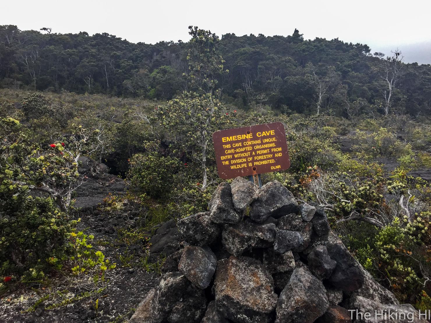
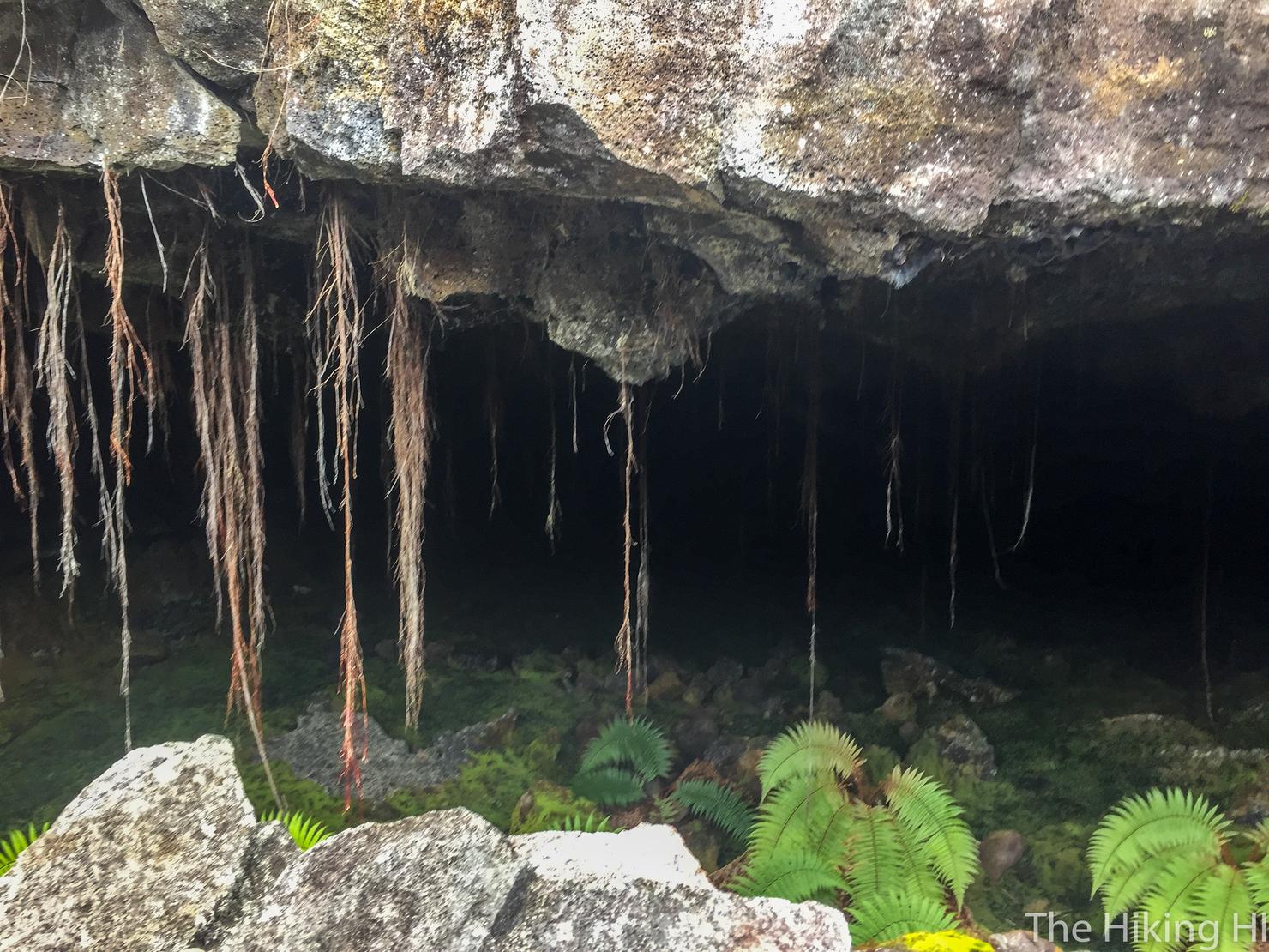
But we have to make one quick detour, the Emesine Lava Tube! Its about a 10 minute walk from the intersection point and is located to the left of the trail. FYI you are supposed to have a permit to enter the tube.
In we go...
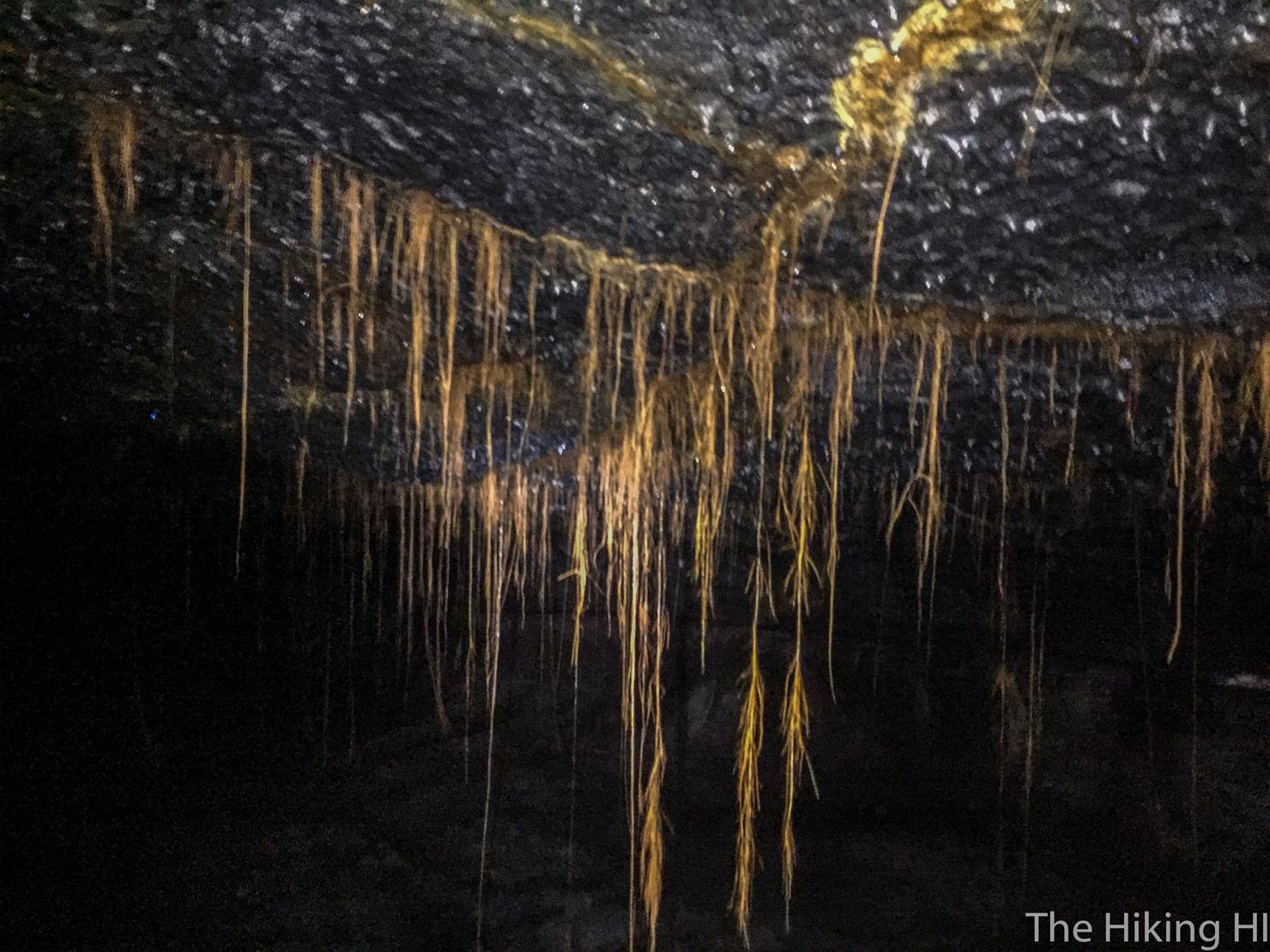
If you've seen a lava tube before, you'll realize one major commonality, they're very wet. I got pelted with a quite a few drops as I navigated through the tube. You definitely need a flashlight because it is pitch black once you venture a few hundred feet in. I'm not quite sure how far this tube goes, but I went in for about 10 minutes before turning around.
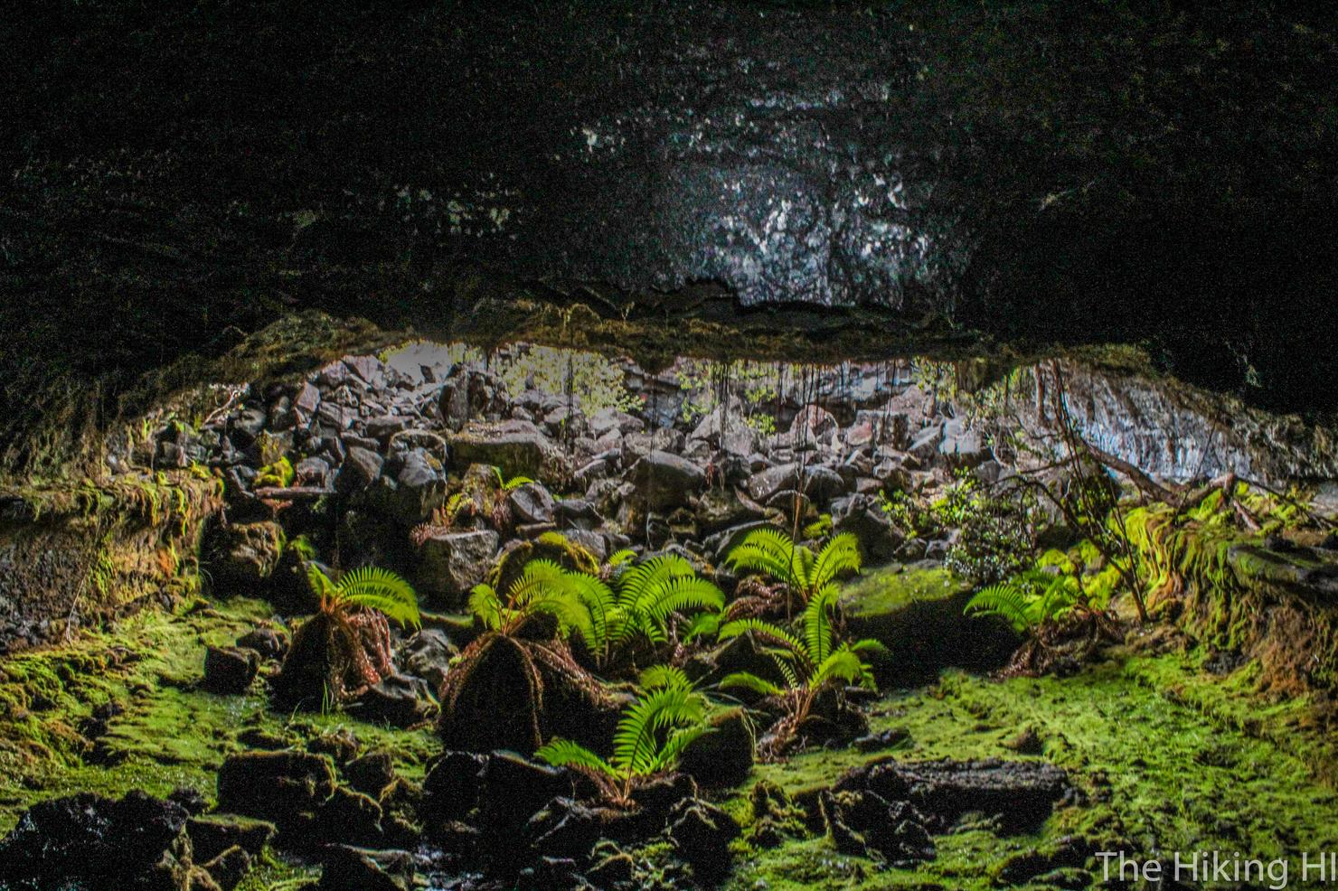
One last shot looking out of the tube with the beautiful vegetation it contains. This really is a remarkable creation of nature.
What an awesome hike through the lava fields, forests, and lava tube of the Pu'u O'o Trail. This was just the start of what would be an incredible trip experiencing the volcanic beauty of The Big Island.
Check out my video of this remote hike!