Difficulty: INTERMEDIATE-ADVANCED
Time: 5-7 HOURS
Distance: 7 MILES
Elevation Gain: ~3500 FEET
Foot Traffic: LOW
Challenges: Long Gradual Elevation Gain, Steep Ascents with slippery dirt/mud, Some Rock Scrambles/Climbs
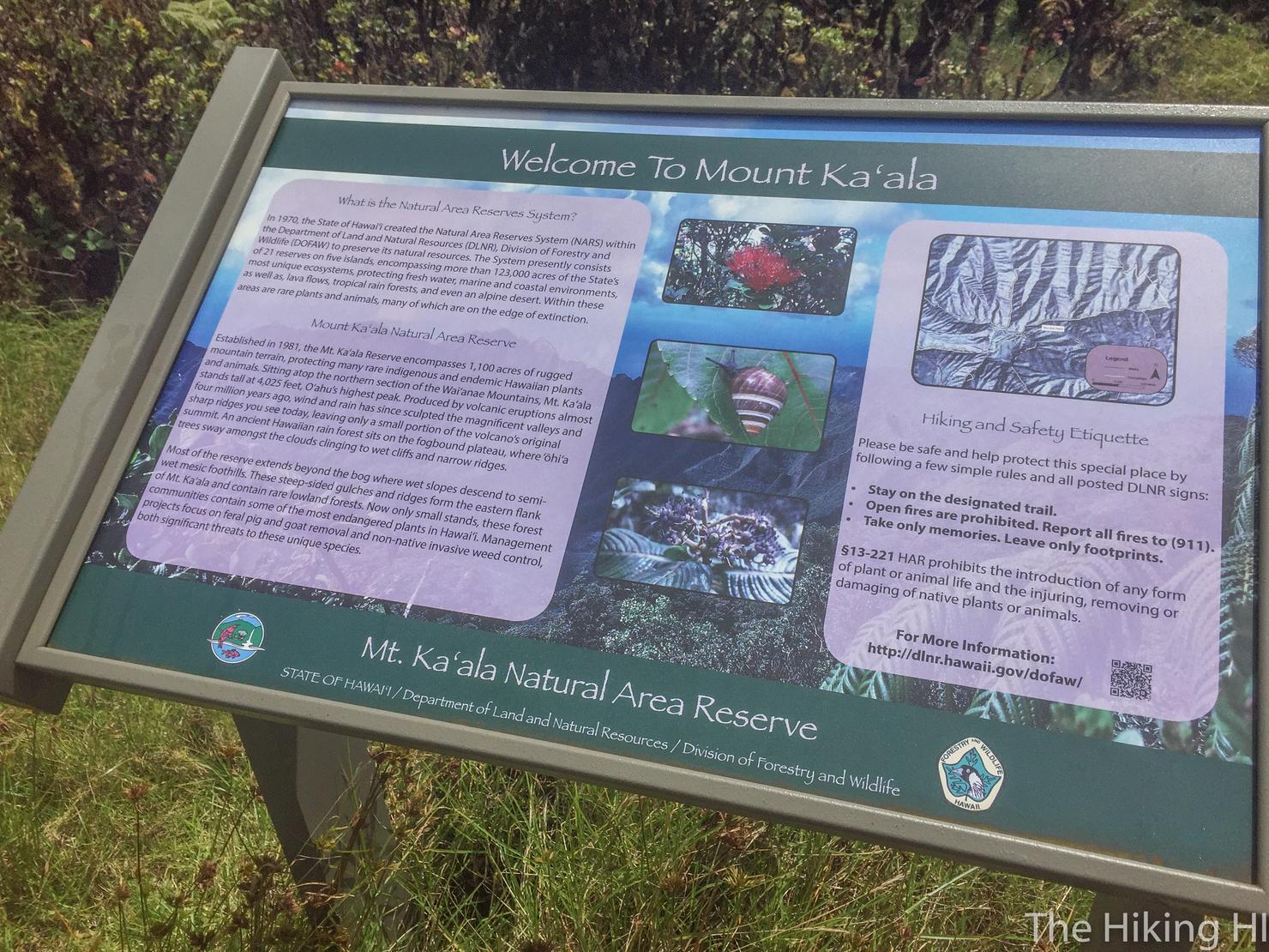
Sights: Mount Ka'ala, Waianae, Ka'ala Valley, North Shore, Honolulu
What to Bring: Lots of Water, Good Hiking Shoes, Snack/Lunch, Sunscreen
At just over 4,000 feet, the flat summit of Mount Ka'ala is the highest peak on Oahu. Summiting this peak is no easy task as you will be required to hike almost 7 miles, gain around 3500 Feet in elevation, and scramble up some steep and sometimes muddy inclines. However, once you will reach the top, you will be rewarded for your accomplishment with some of the best views on the island, including the West Side, Central part of the island, and Honolulu.
The highest peak on Oahu. Regardless of whether 4,000 feet sounds like a lot to you, there's something to be said about climbing to the highest of anything. And let me tell you, it is definitely a challenge. While there's only one real technical challenge, the roughly 3500 feet and 7 mile trek up to the summit is physically brutal. There is no doubt you will be tired after conquering this hike, but that sense of accomplishment makes it totally worth it.
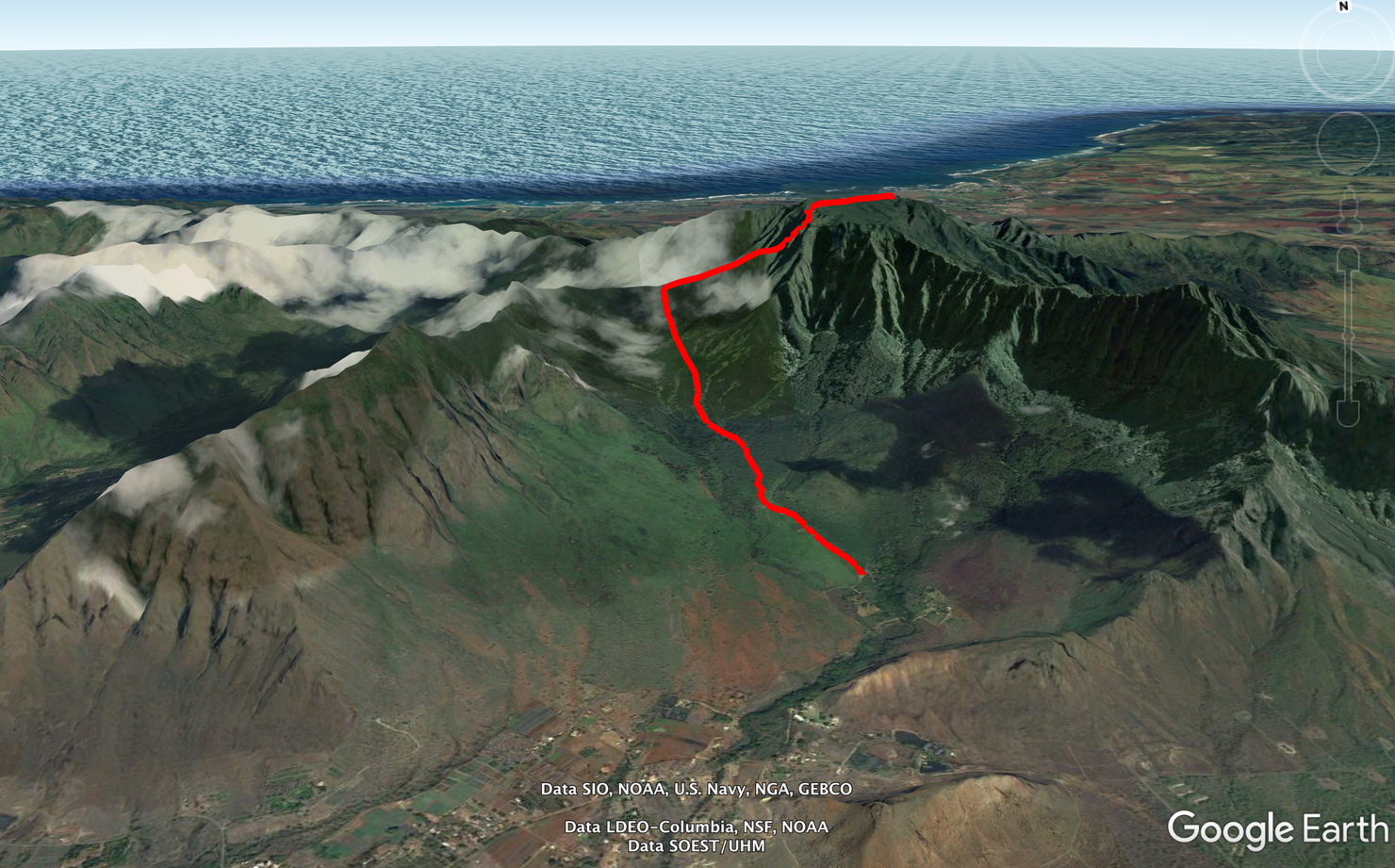
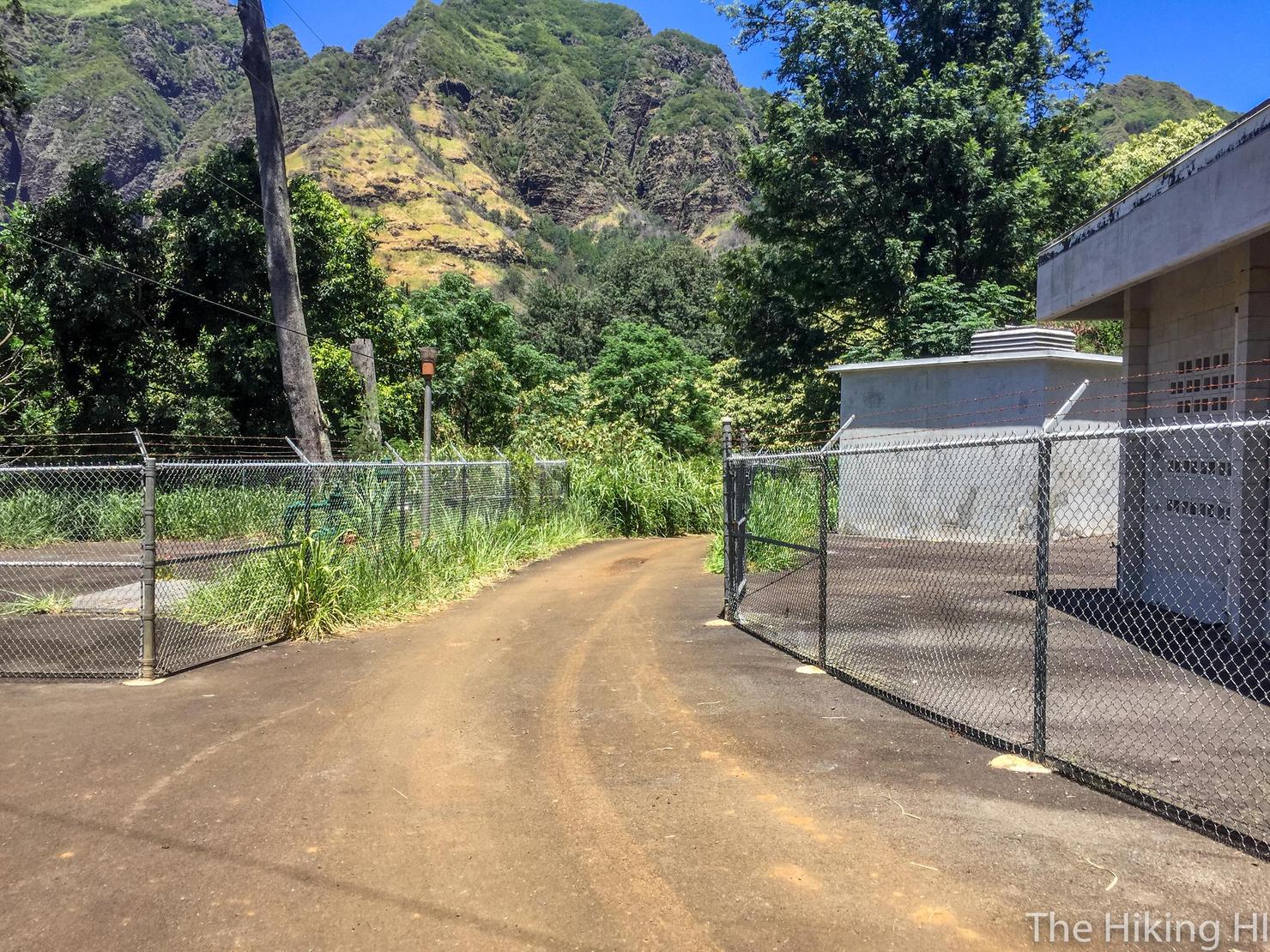
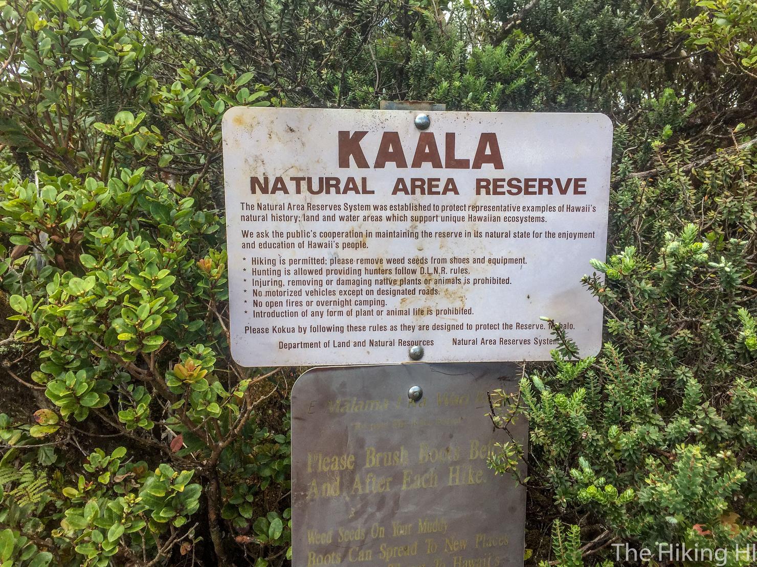
An image of the hike. This hike consists of three parts. The first is the long gradual ascent to the ridge (physically brutal). The second is the hike/climb up the steep ridge (technically and physically challenging). And the last is the walk through the nature reserve (simply pleasant). Upon exiting the reserve you will reach a fenced in military facility which contains the iconic dome structure of Ka'ala. This structure signifies the highest peak on Oahu.
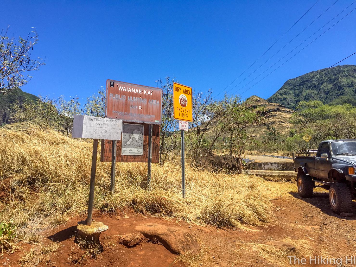
The hike begins at the very end of Waianae Valley Road. There is a dirt lot on the left where you can park your car. Be warned, this area is common for breakins. Do NOT leave any valuables or anything worth taking in your car. If you do, you likely will come back to some broken glass and an inconvenient rest of the day.
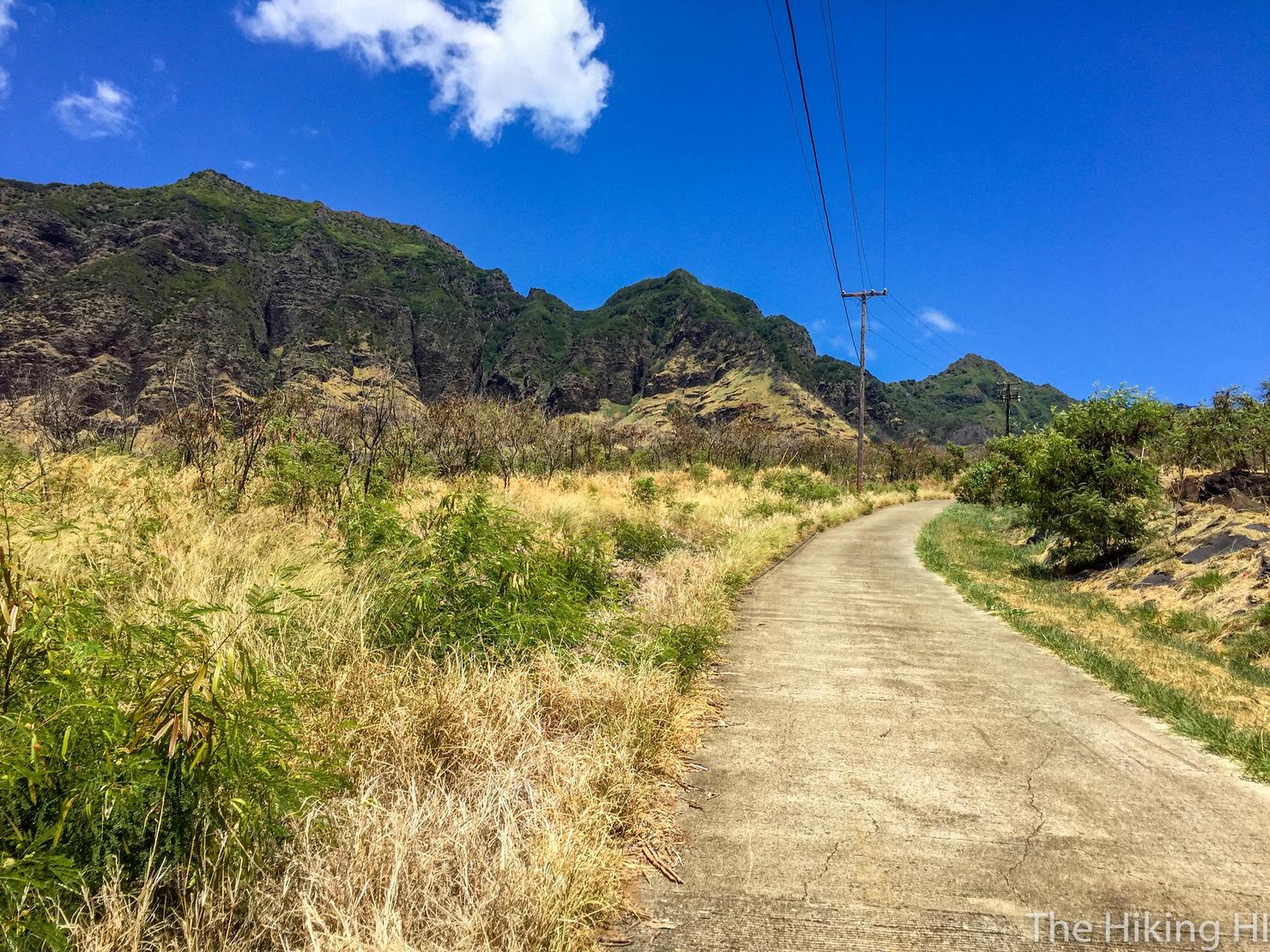
We're off! The hike begins as a long gradual ascent along this paved road through the valley.
Not much to it. Just follow the road.
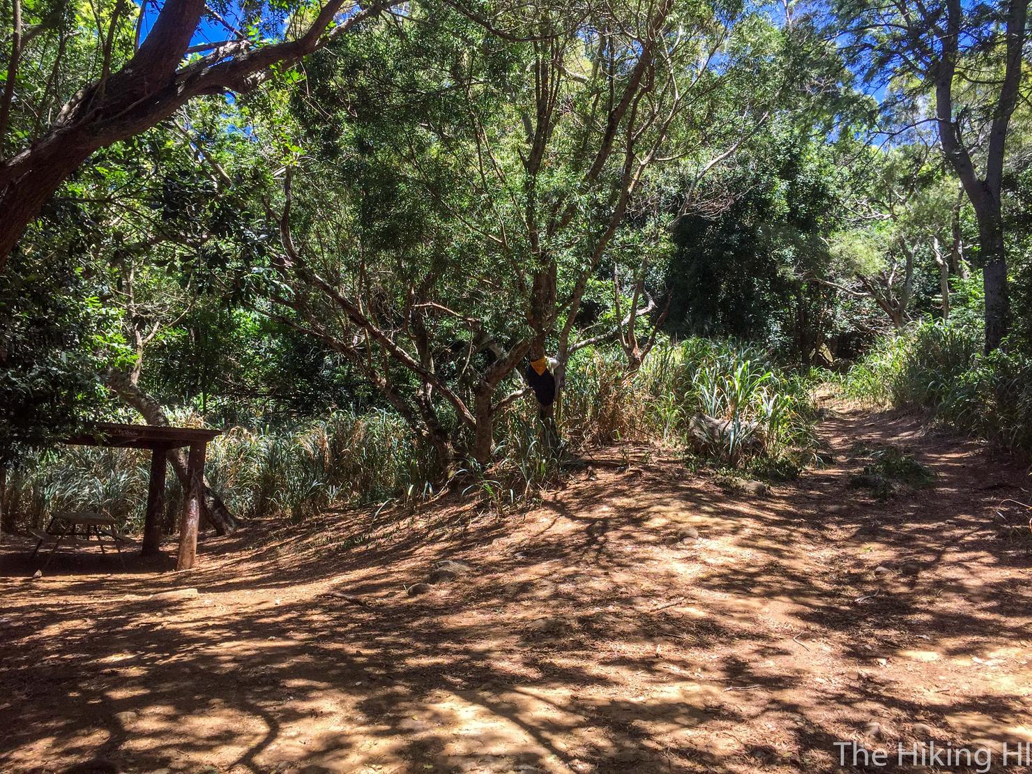
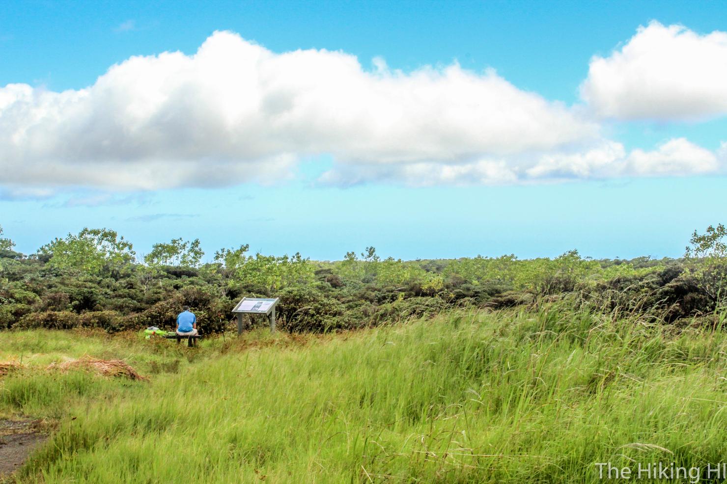
You will soon reach this open area. To continue the hike, head up the path to the right. There's a nice little picnic area if you need a break... I hope not though. The physical struggle of the hike is about to begin.
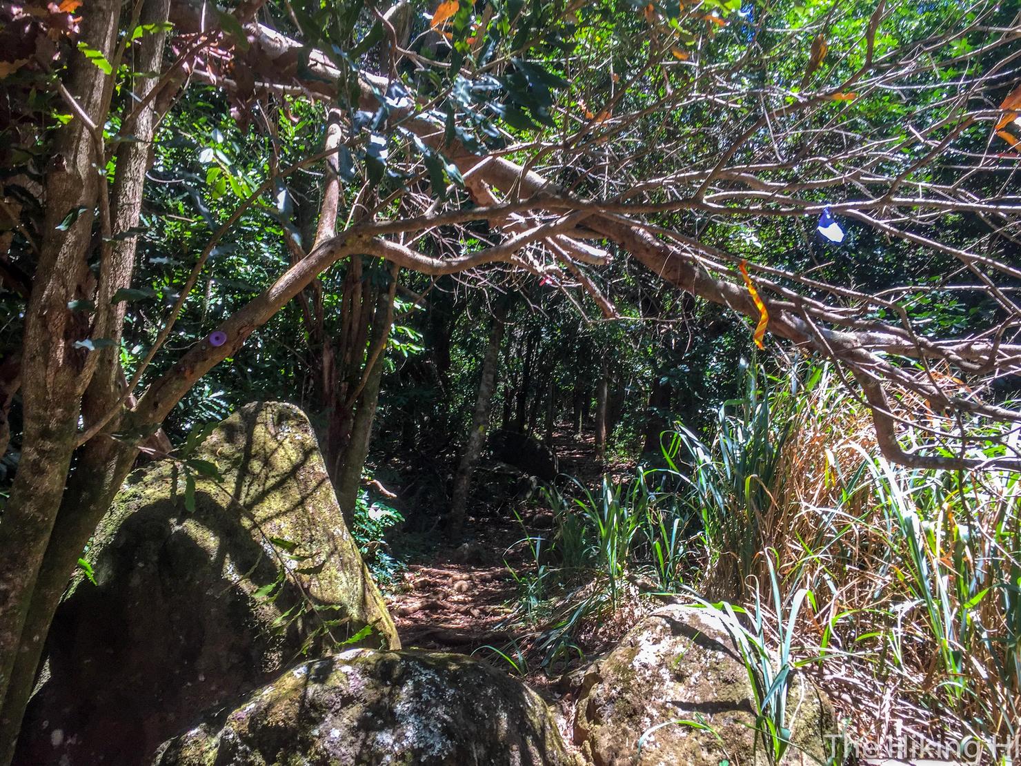
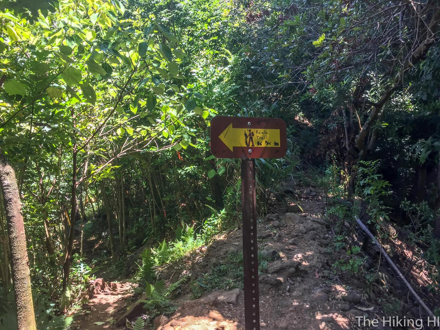
This hike is really well marked so it is pretty easy to stay on the trail.
There are a few forks however. Here, you do in fact follow the trail downhill to the left where the arrow is pointing. It feels like it is going the wrong way, but don't worry it's correct. The trail will continue to go away from the ridge for a bit until it loops back around.
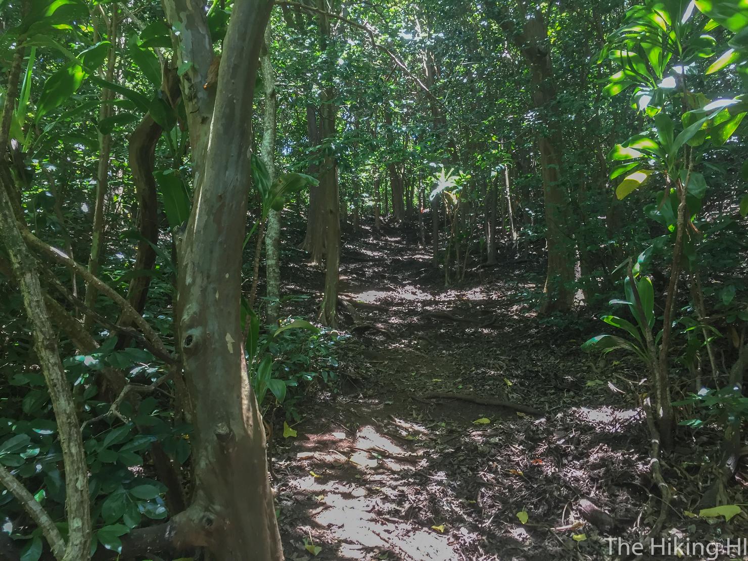
And now the long gradual uphill begins. Luckily, it is shaded until you reach the ridge.
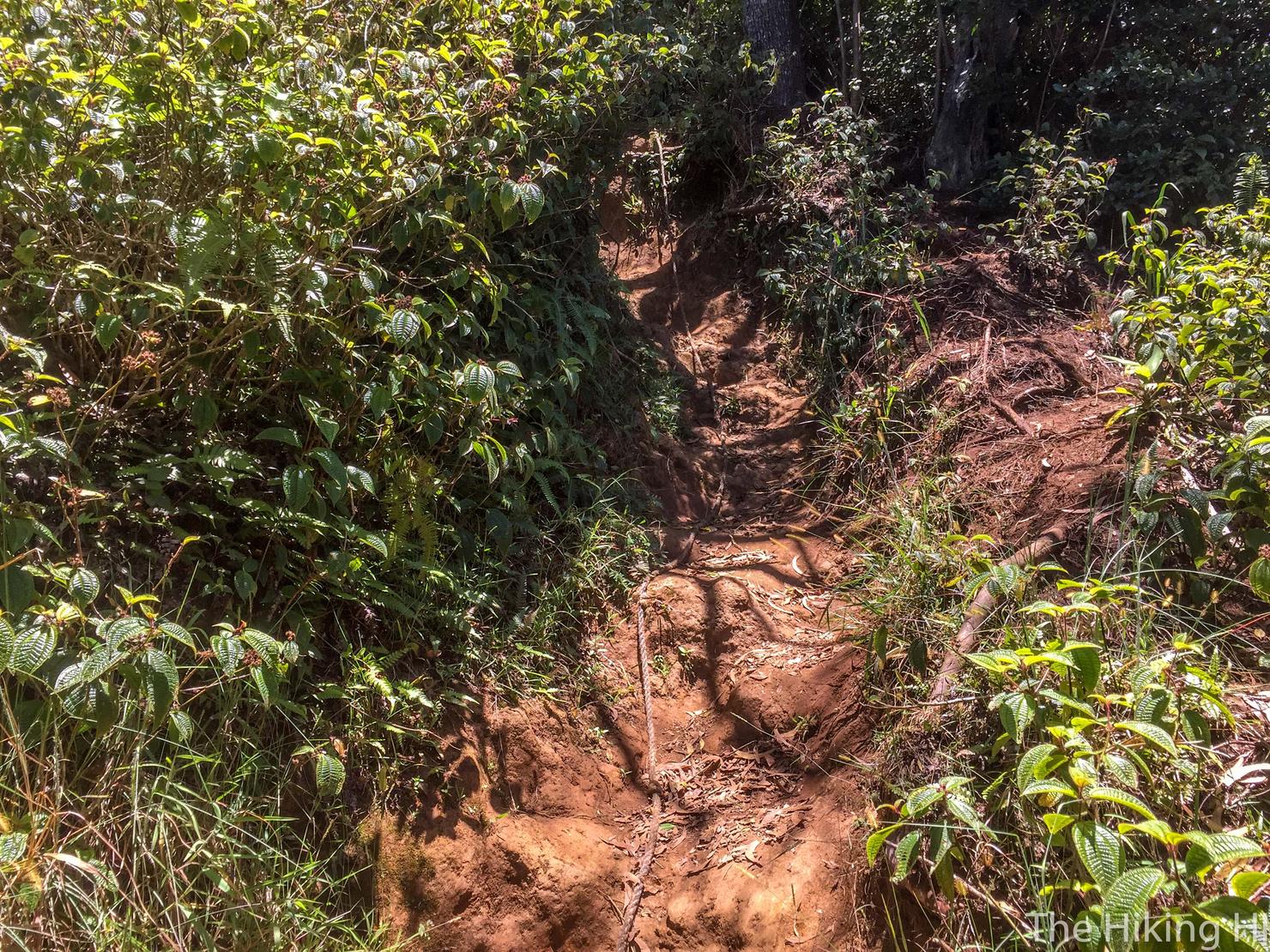
It does get steep at parts and can be particularly tricky if it has been raining. You will find a few ropes to help you out.
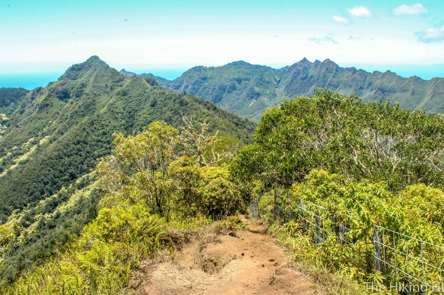
But with perserverance and a lot of sweat, you will reach the ridge which means guess what... more climbing. Once you reach the ridge, head right and uphill (180 degrees from this photo's perspective). You will follow the fence along the ridge to head towards Ka'ala.
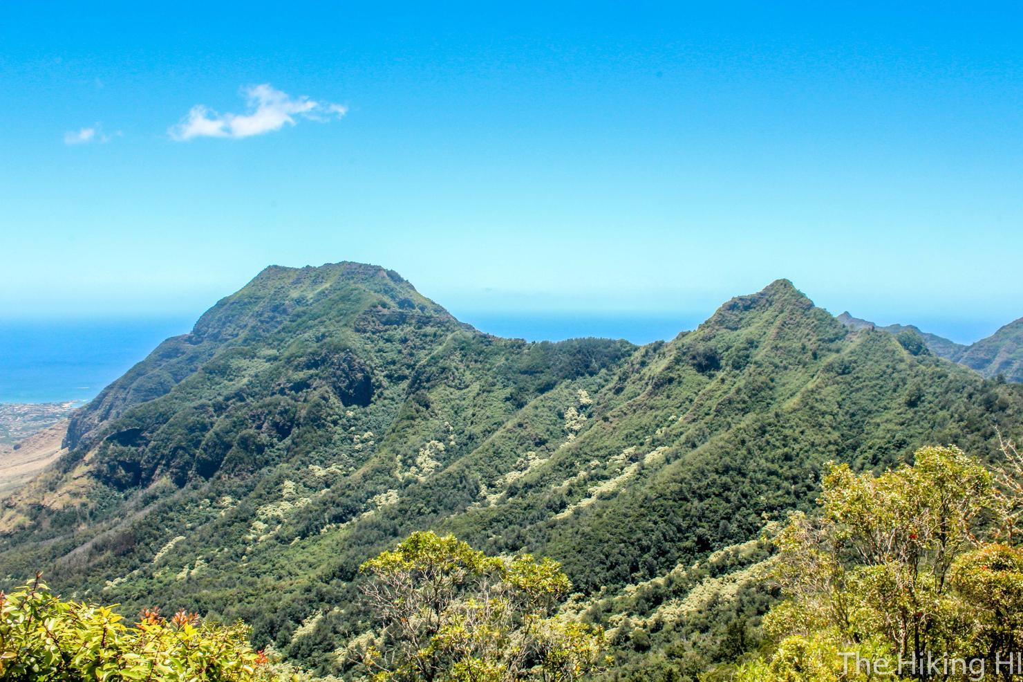
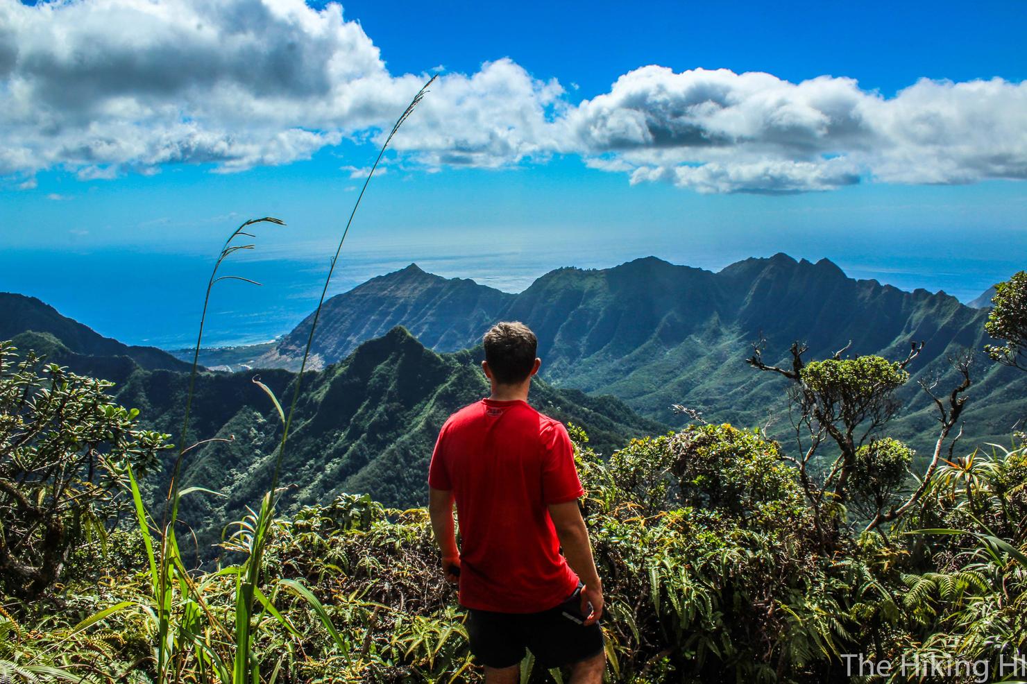
But there's no need to rush. Take in some of these beautiful West Side Views. That peak on the right is the summit of Kawiwi Ridge. That long ridge that connects to the left peak is the treacherous Kamaile'unu Ridge.
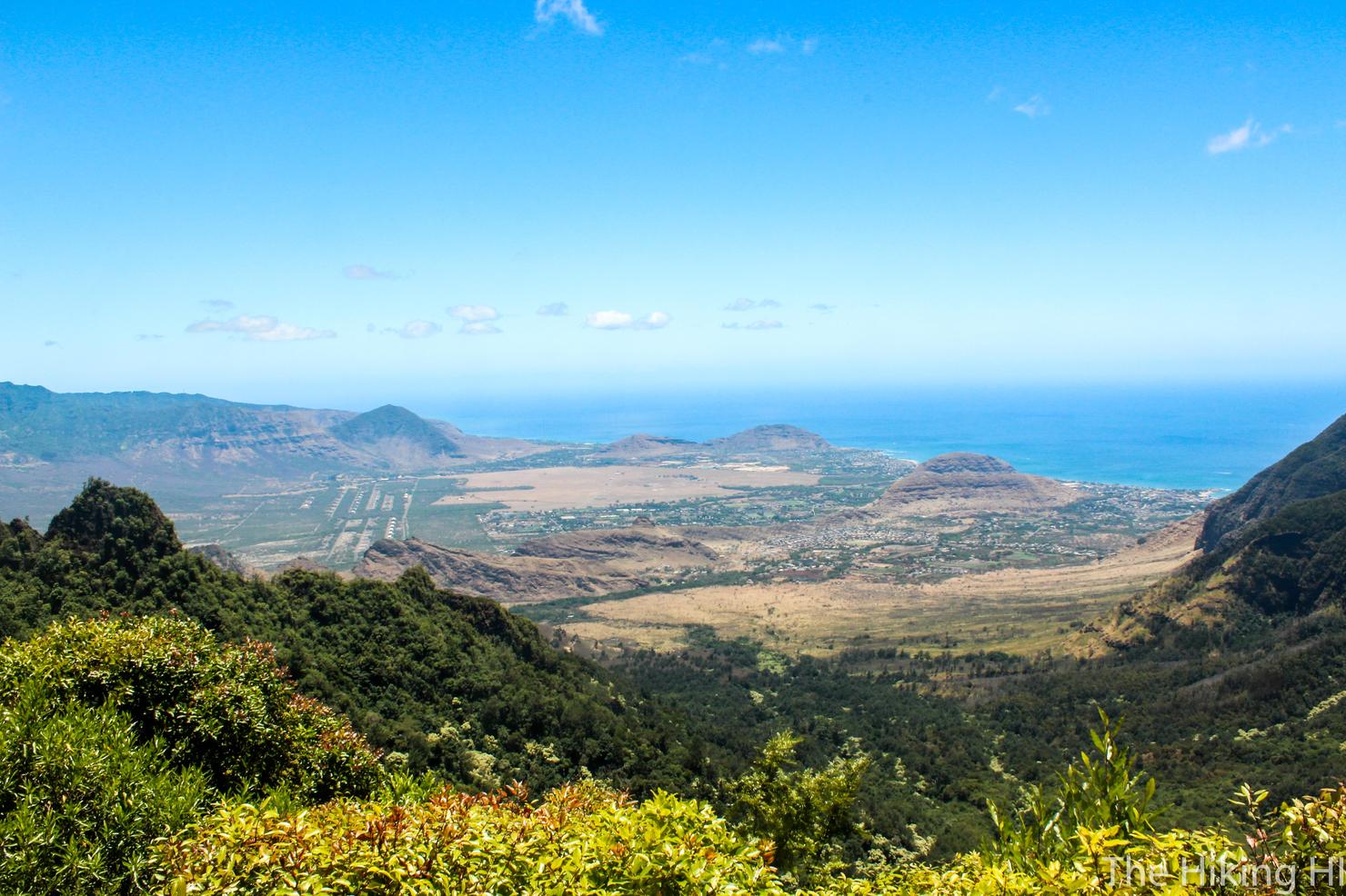
I love these west side views. Some people complain because it's much drier here and therefore less green. I think it creates a beautiful diversity of colors.
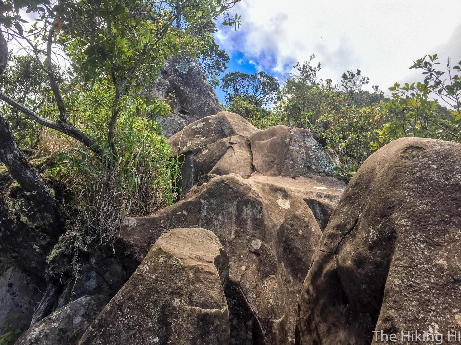
Let's continue on. Now is when the steep rock scrambling begins. Luckily there are tons of ropes to help you out.
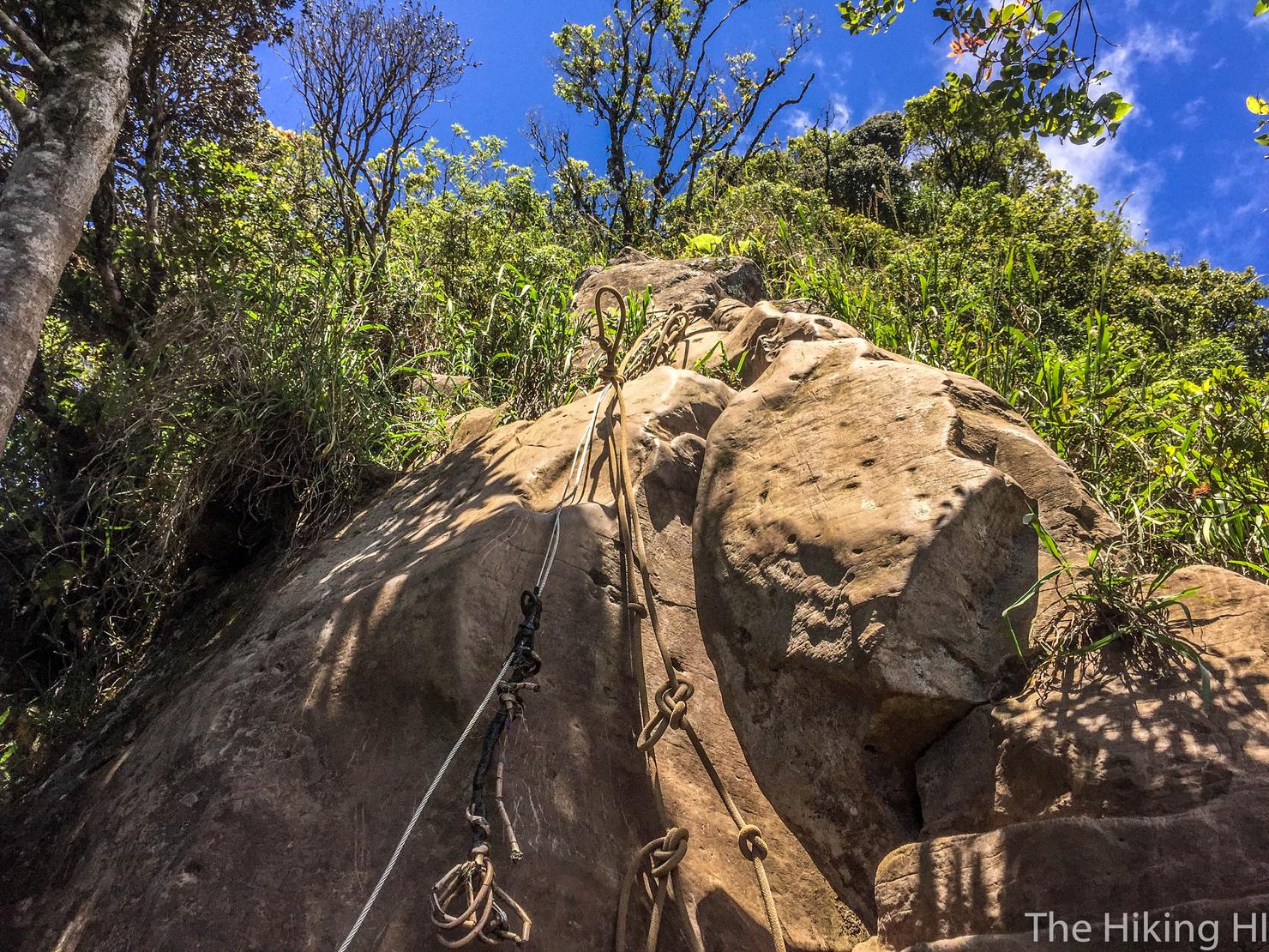
This is definitely the most technical challenging part of the hike. It's a little bit of a free climb, but it's not over some crazy narrow ridge, so it's really not that bad. Just use some problem solving (and the rope) and ascending this will be no problem.
Physically on the other had, this hike up the ridge is tough. This was another one of the steeper sections. I was definitely using the rope simply to reduce the amount of work my legs were doing.
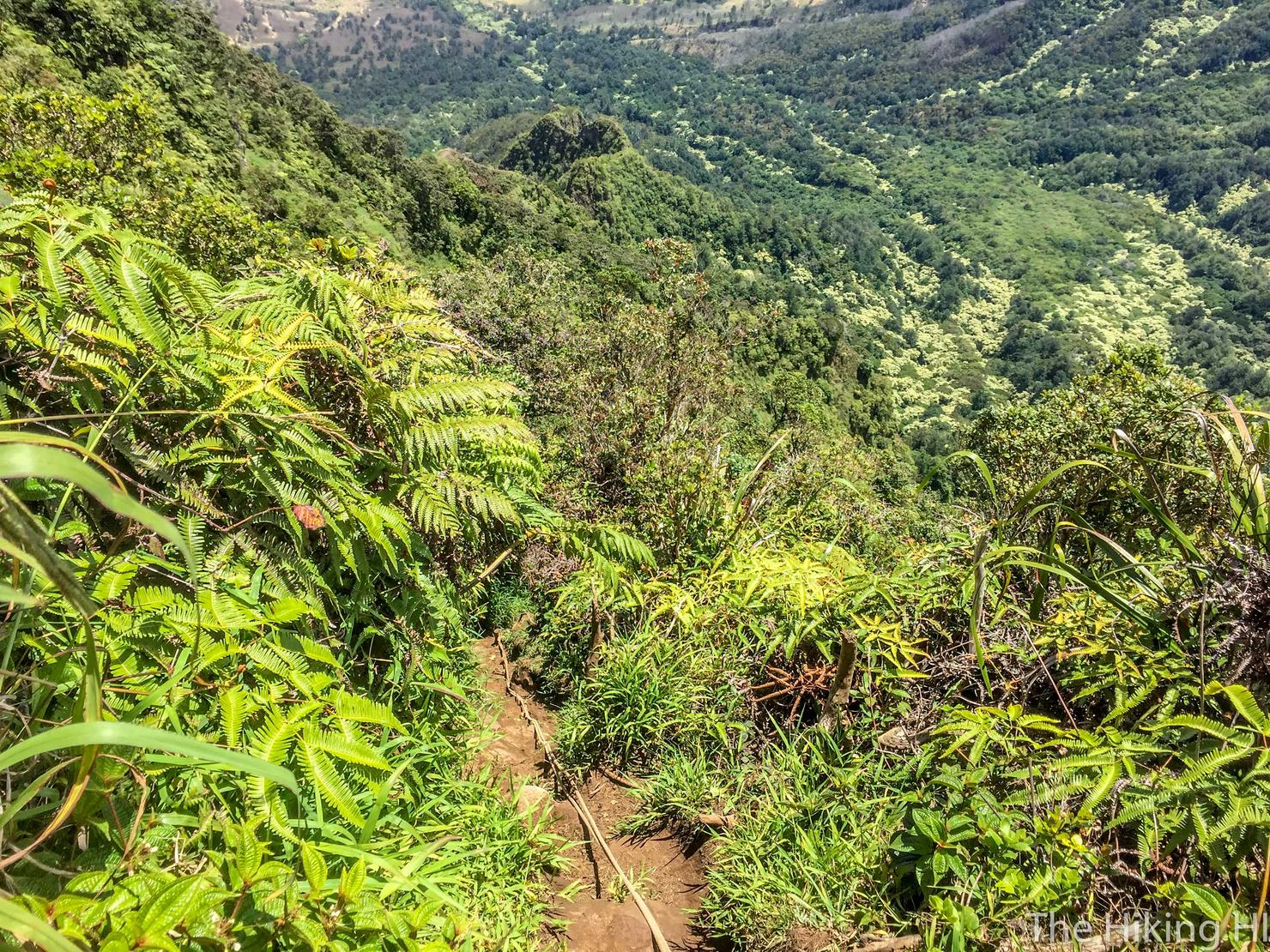
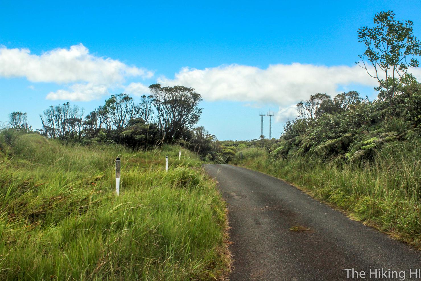
Alas we've reached the nature reserve. It's all flat ground from here!
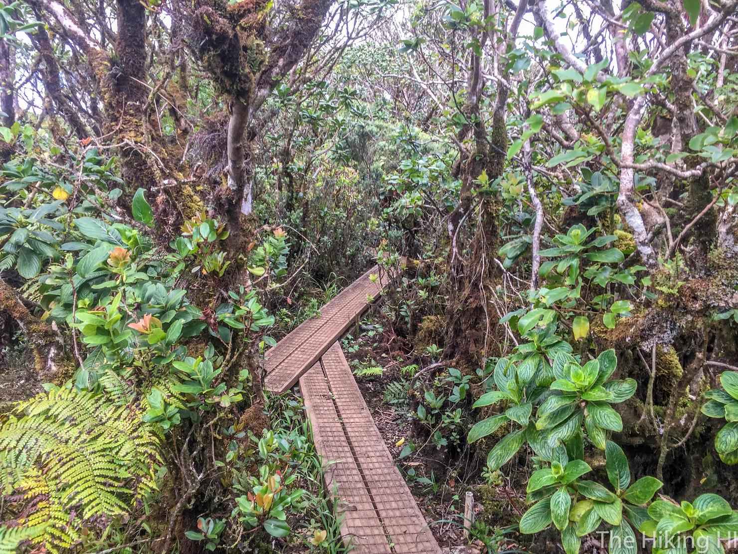
This is a nice little walk on these planks surrounded by lush green vegetation.
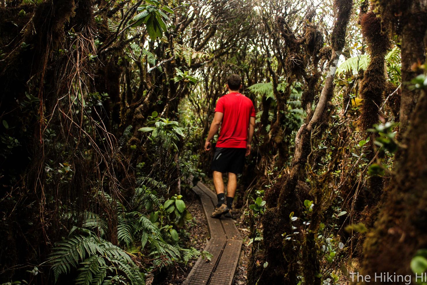
It made for a good photo of me walking through the trees. That's right I set up a tripod and took this shot! I'm waiting for that awkward moment when someone catches me shooting tripod selfies. It still hasn't happened yet, but I'm sure it's only a matter of time.
And here we are, what I consider the summit of Mount Ka'ala. It is basically this big open area, which is why it looks so flat from the streets below.
Proof I'm not lying.
There's actually a road that leads up here. You used to be able to drive it, but it has since been closed.
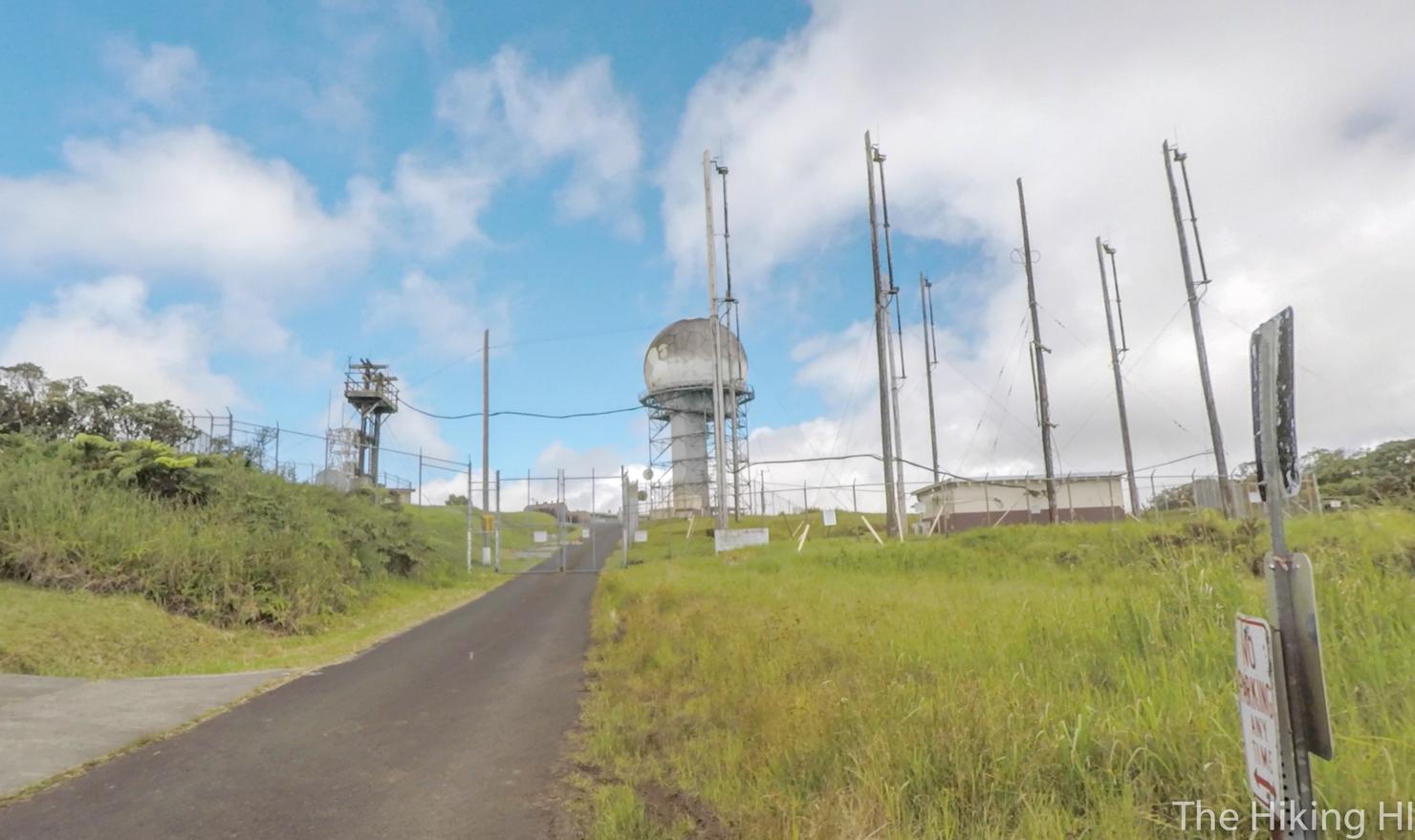
But it is still used for the people that work here. The FAA maintains an active tracking station up here and this facility is secured by the Army. I wouldn't mind working up here and getting to see some of these awesome views every day.
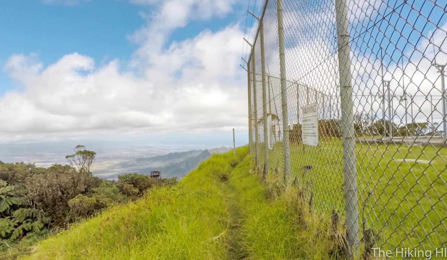
Speaking of those views, let's go find some. I circumvented this fenced in facility to the left. I'll be honest, I have no clue about the legality of what I was doing. But I did see people working at the facility and nobody was chasing me with a gun, so I'm going to assume it's fine.
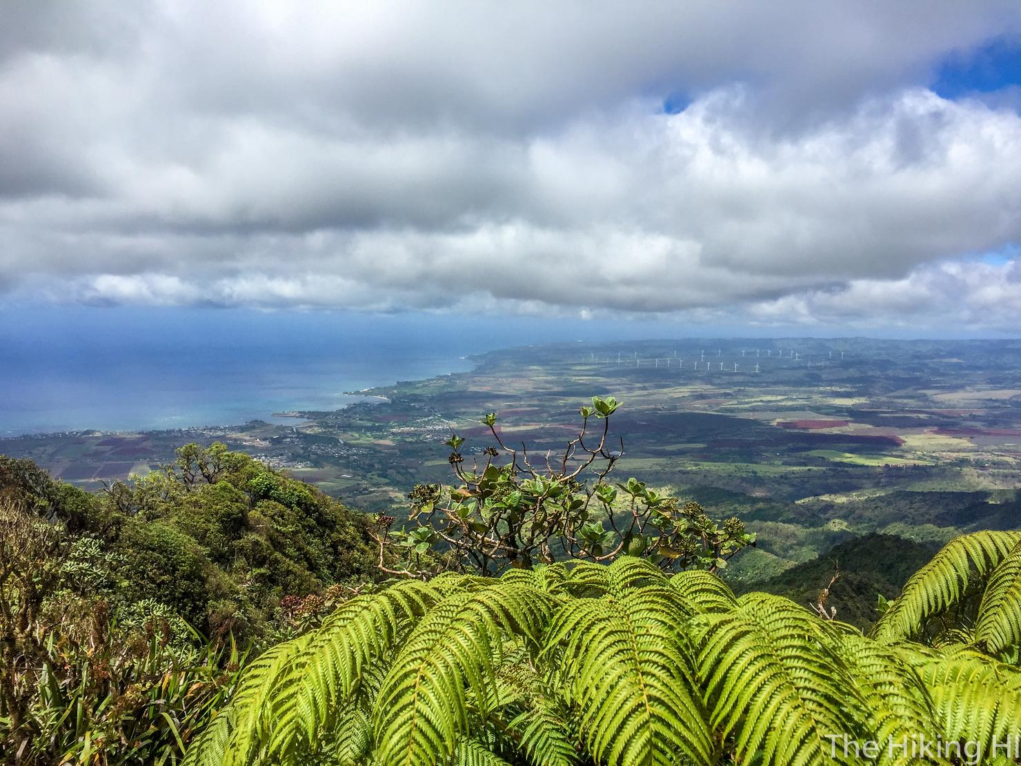
Here's a shot looking along the north shore. So calm and peaceful in the summer months.
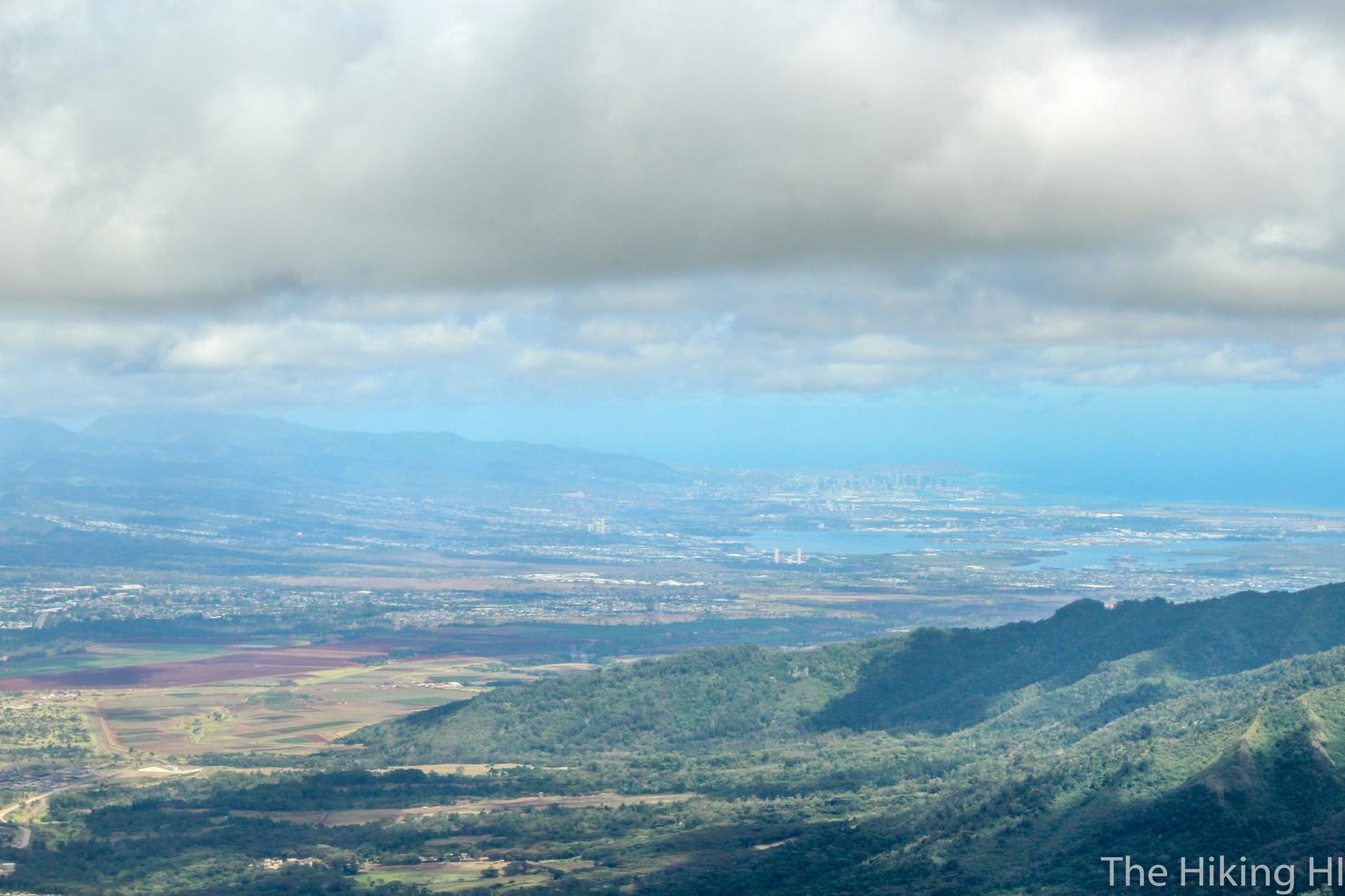
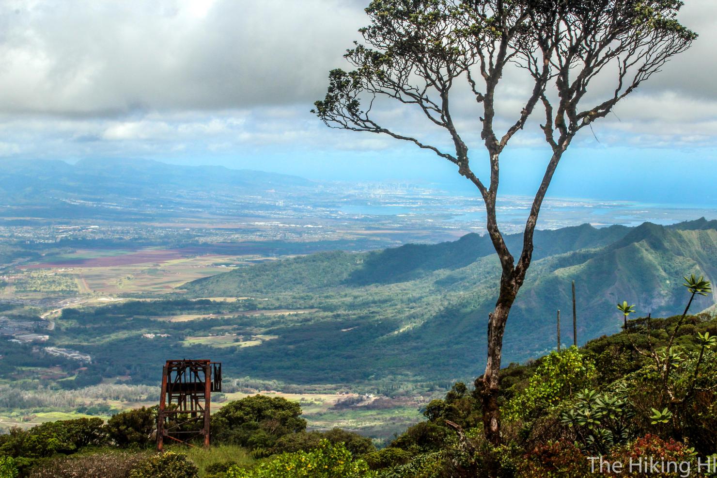
And with this shot you can barely make out Honolulu.
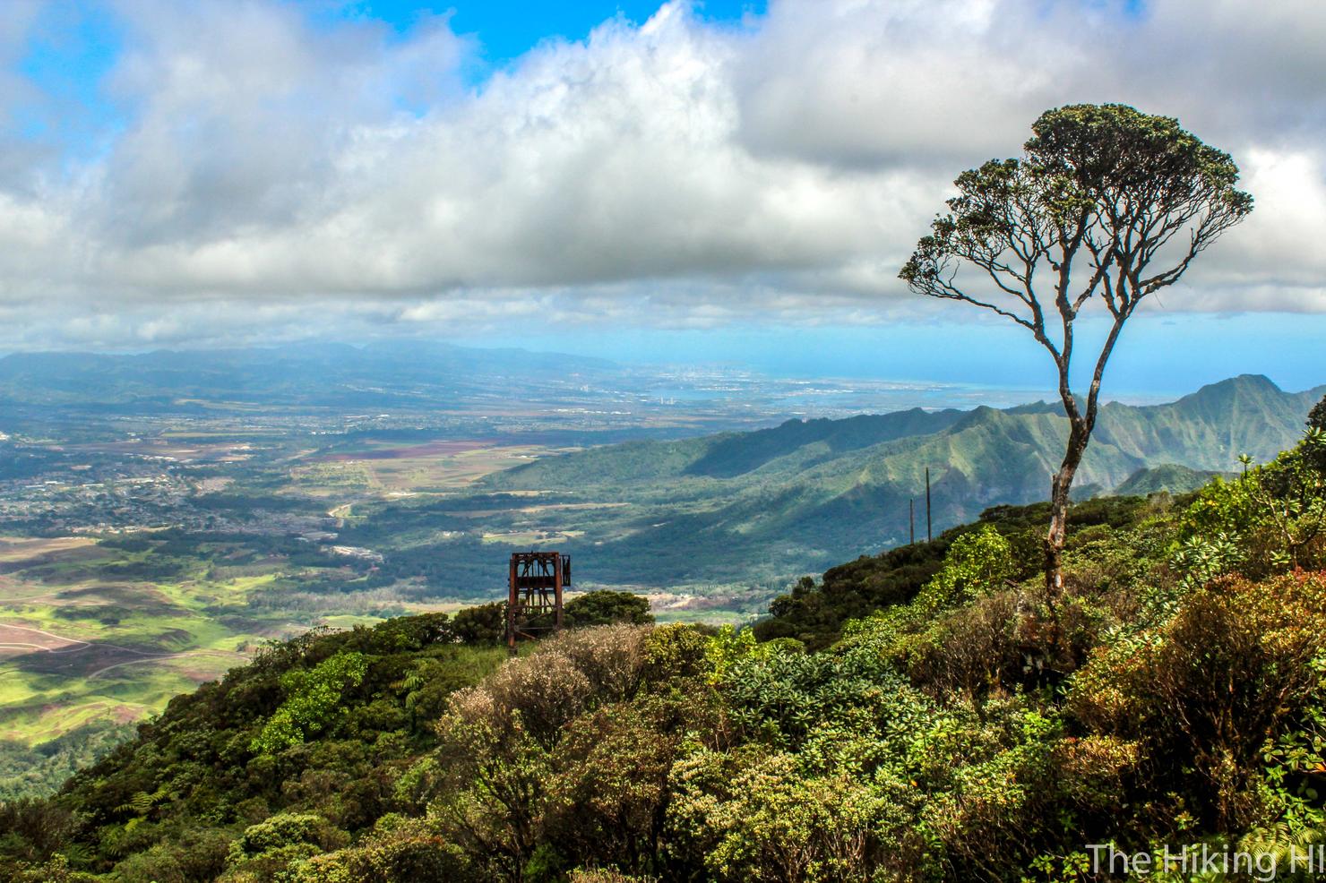
I love this photo. Something about that lone tree and the neighboring ridges and city in the background create a perfect setting. Such a bliss experience up here on the top of Oahu.
But those moments have to come to an end eventually. It was time to head home. I felt tired, but accomplished. After hiking all the way to the apex of Oahu, I felt like I could do just about anything.
Check out my video of this journey to the top of Oahu!
Have you conquered Ka'ala? Share your story below!