Difficulty: ADVANCED
Time: UNKNOWN
Distance: 10 MILES LATERAL (from Kuilau Ridge Trailhead)
Elevation Gain: UNKNOWN
Foot Traffic: VERY LOW
Challenges: Unmarked trail, River crossings/rock hopping, High flash flood potential, Overgrown, Muddy, Some steep climbs
Sights: Gate to Jurassic Park, Guardian Falls, The Weeping Wall (if you find it)
What to Bring: Full day of food, Lots of water, Sunscreen, Shoes you can get wet, Guide/Someone who knows where to go
This is an extremely challenging and potentially dangerous hike that travels through one of the wettest places in the world, the valley of Mount Wai'ale'ale. The hike starts along the currently closed Kuamoo Road, goes through the "gate" to Jurassic Park, before reaching the Wailua River. Here it is a strenuous trek straight upstream, filled with river fording and rock hopping, all the way to the source of the water-- the back wall of Mount Wai'ale'ale, that is of course, if you can find it.
I had stumbled upon this hike when doing research for my trip to Kauai and it seemed like something I had to do. Something about hiking through one of the wettest places on earth had a nice ring to it. I was aware of the potential dangers of the hike going in, primarily the flash floods that could occur in the river I would be hiking. Despite the fact that I am very stubborn, I was prepared to turn back at the faintest sign of danger (I was also alone). I urge anyone who wants to attempt this hike to exercise the same caution. However, if you do decide to make this trip, I guarantee it will be worth it.
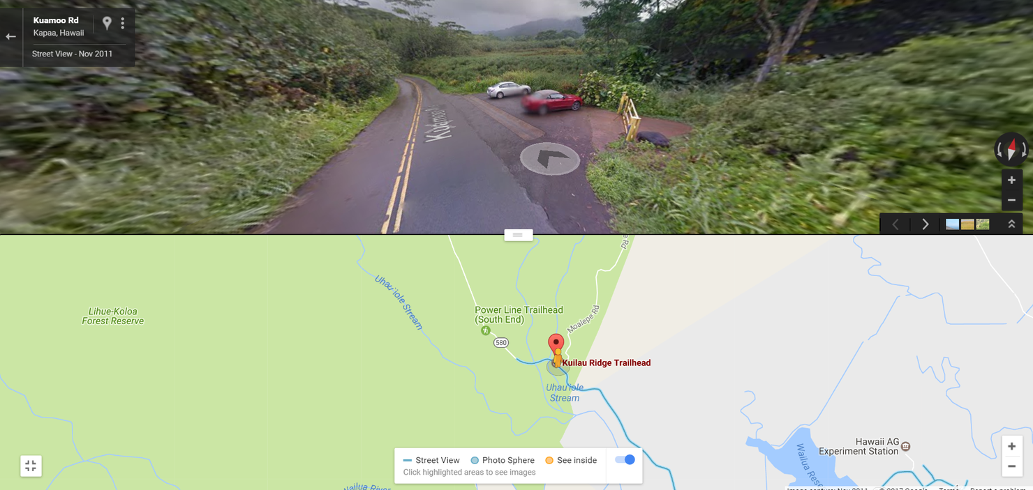
I began my journey at the Kuilau Ridge trailhead where you find this parking lot. The road continues on, but since I had rented a small Honda, I didn't feel comfortable driving it on the potentially rough and wet road.
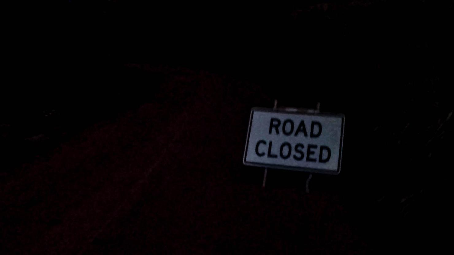
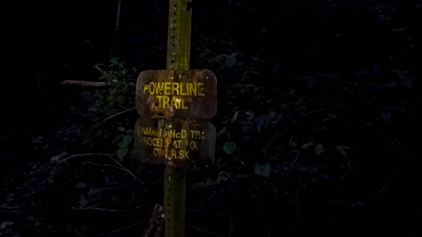
My journey began in the dark. This sign was placed just beyond the parking lot pictured above. I later found out this sign is not taken very seriously, as I saw plenty of Jeeps driving up the road during my return trip.
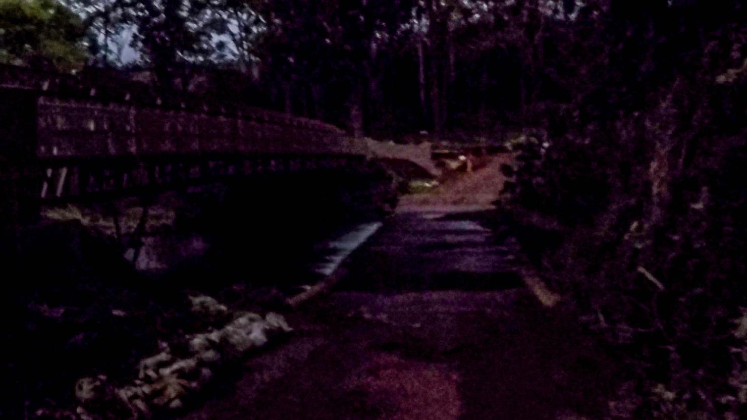
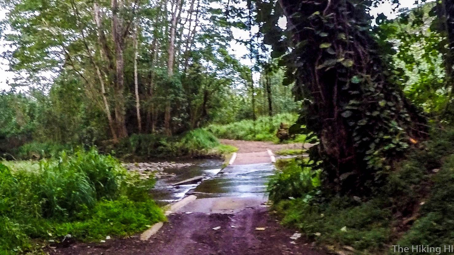
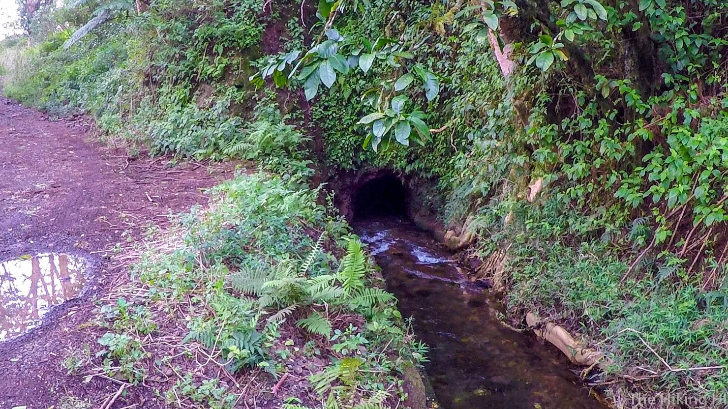
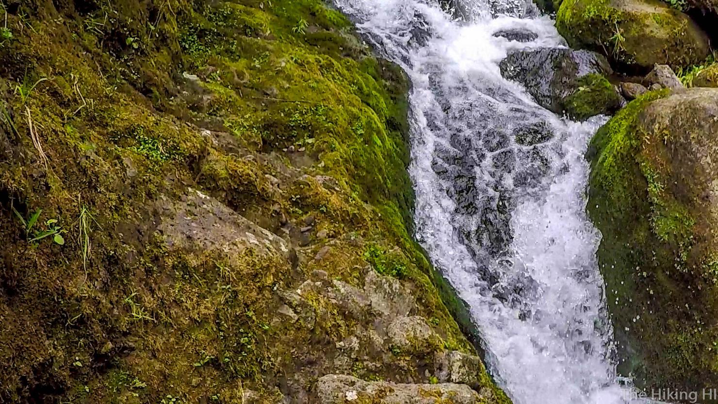
Within minutes, I had reached the first spillway. The picture isn't very clear, but there is actually a considerable amount of water flowing and, as I would later find out, this was actually a suprisingly dry day in the wettest place in the world.,
This is another trailhead that starts off Kuamoo road. I don't know much about it other than that it is supposed to be very difficult.
It had started to get light by the time I reached the second spillway. I was quite glad I had not brought the rental car out here.
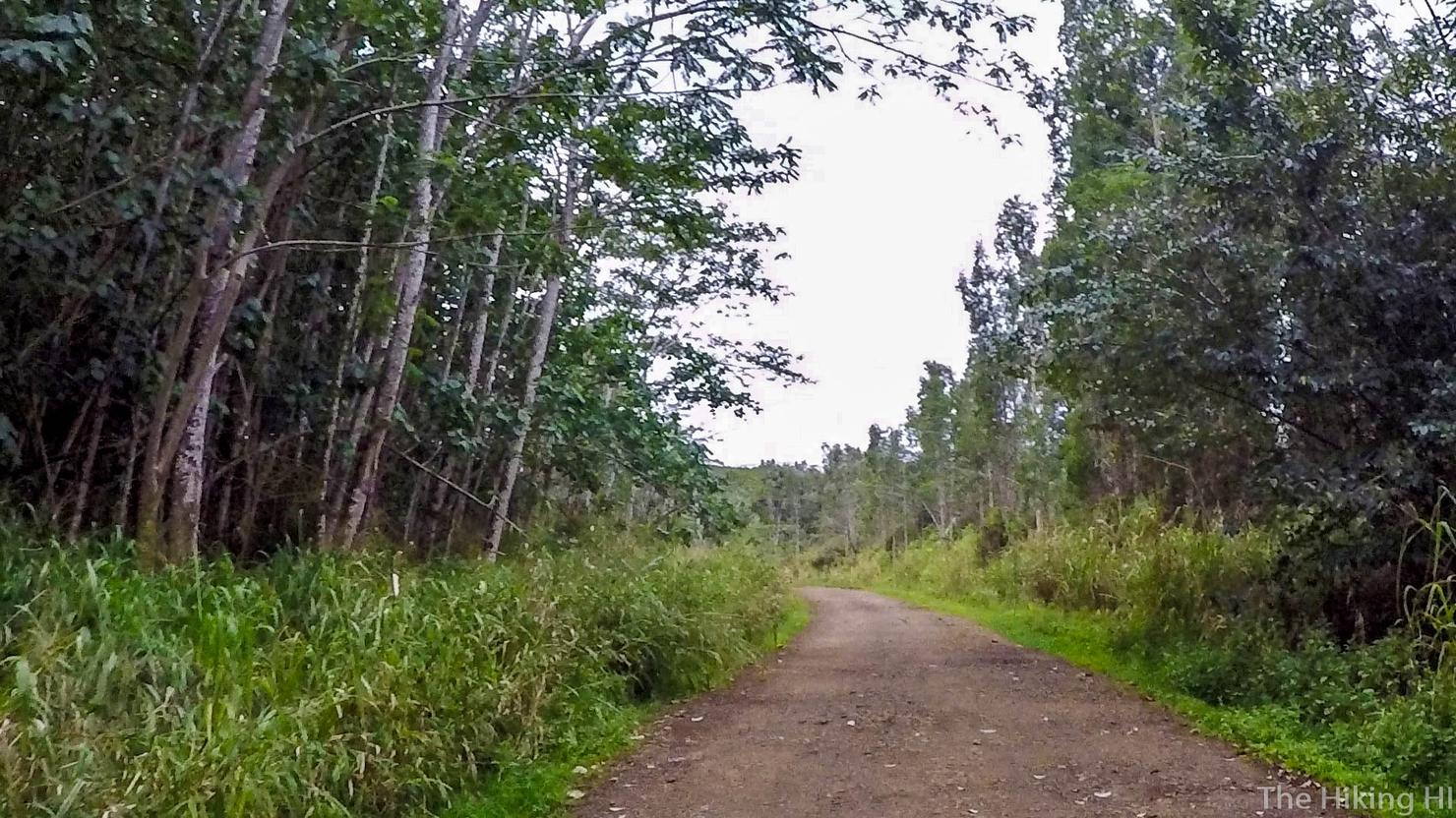
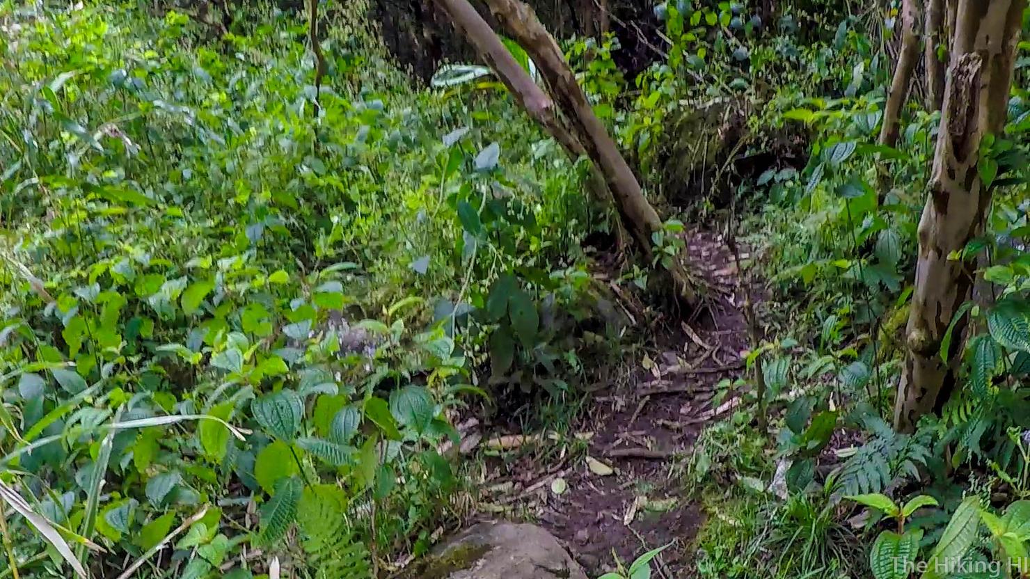
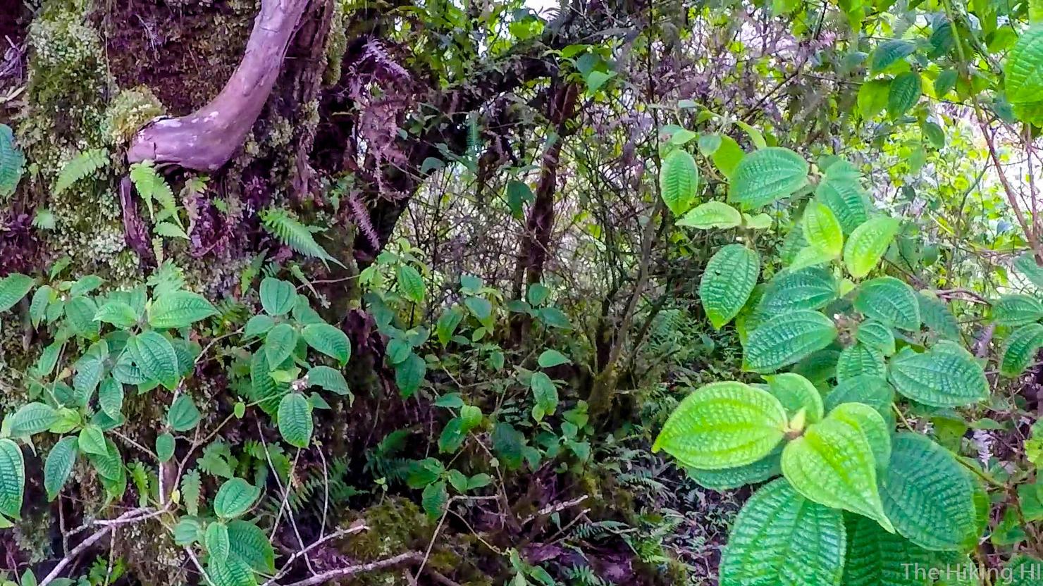
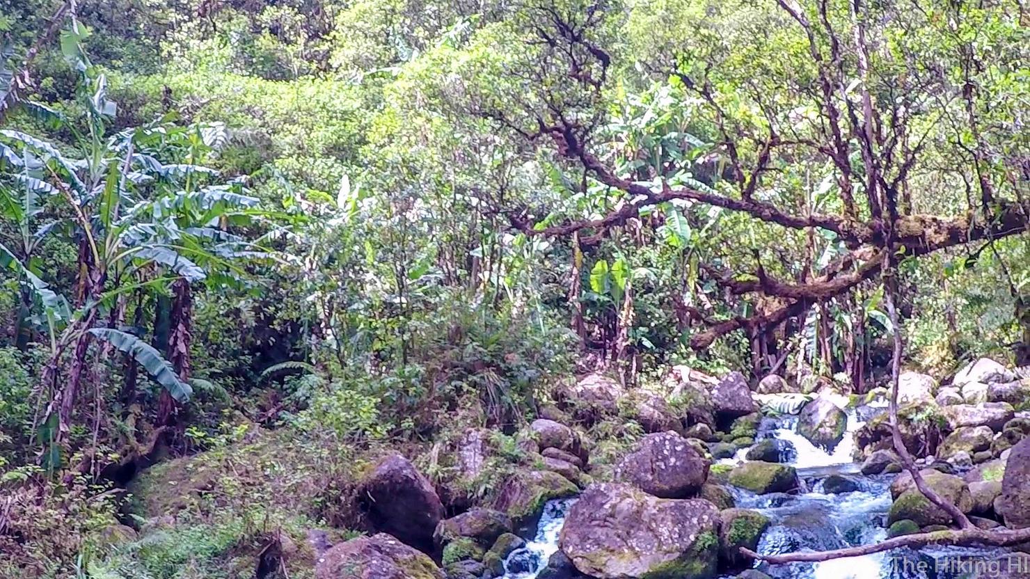
This is what a lot of the early parts of this hike looked like. There wasn't much to see, but it was very peaceful on a cool morning.
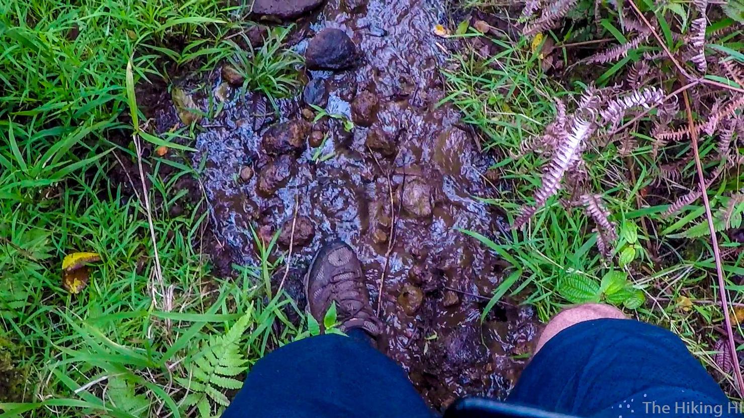
At least until I reached this unexpected obstacle. It was basically just a huge puddle of stagnant water and there was no way around it.
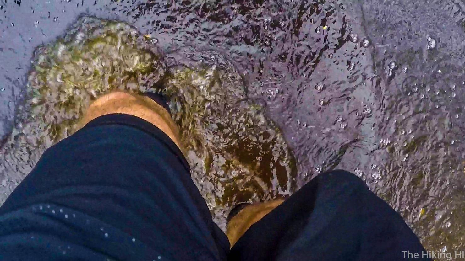
So I went straight through it. I still say this was the worst part of the hike. I had a very strong fear of getting leptospirosis. But at this point, I had already crossed the gross pond, so I would have to cross it a second time regardless.
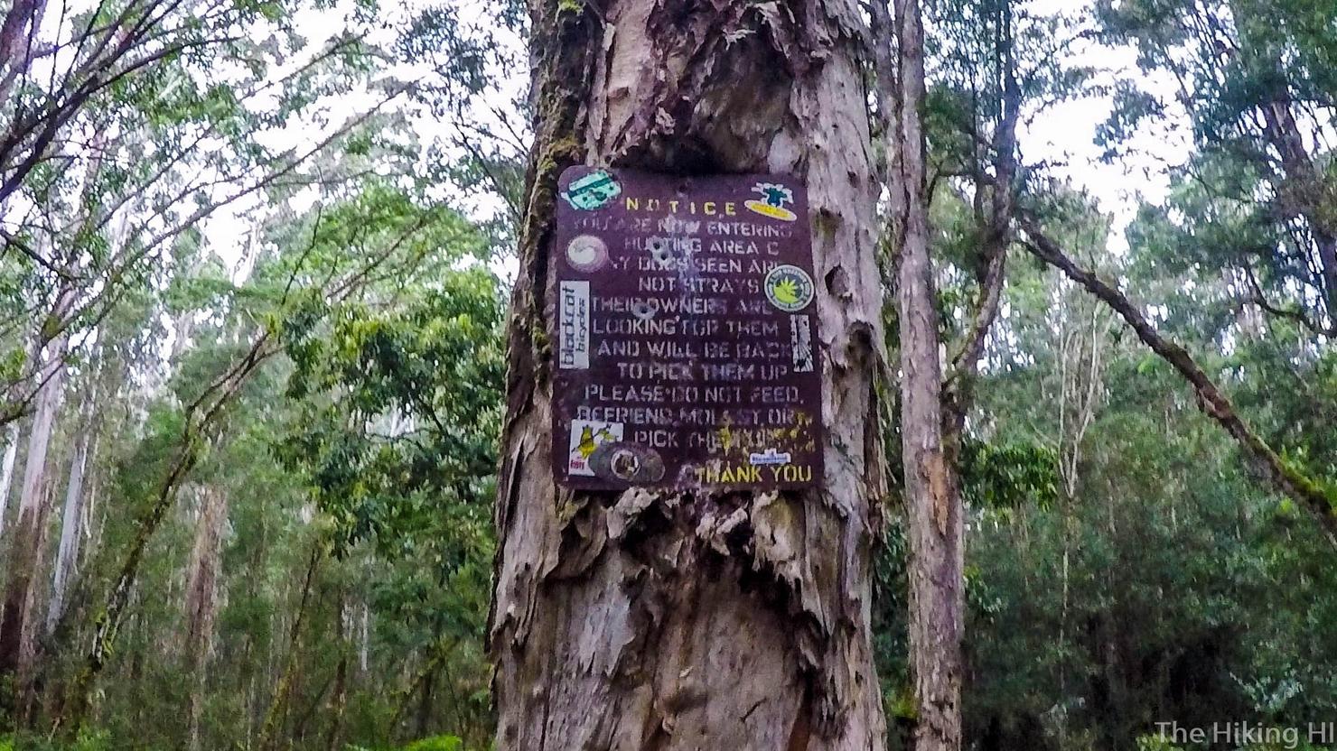
I continued trudging along on the road and after about 1 hour ran into this hunting sign. It was an accurate notice as shortly after I heard some loud gunshots. As long I hadn't accidentally stepped into the Most Dangerous Game I figured I would be fine.
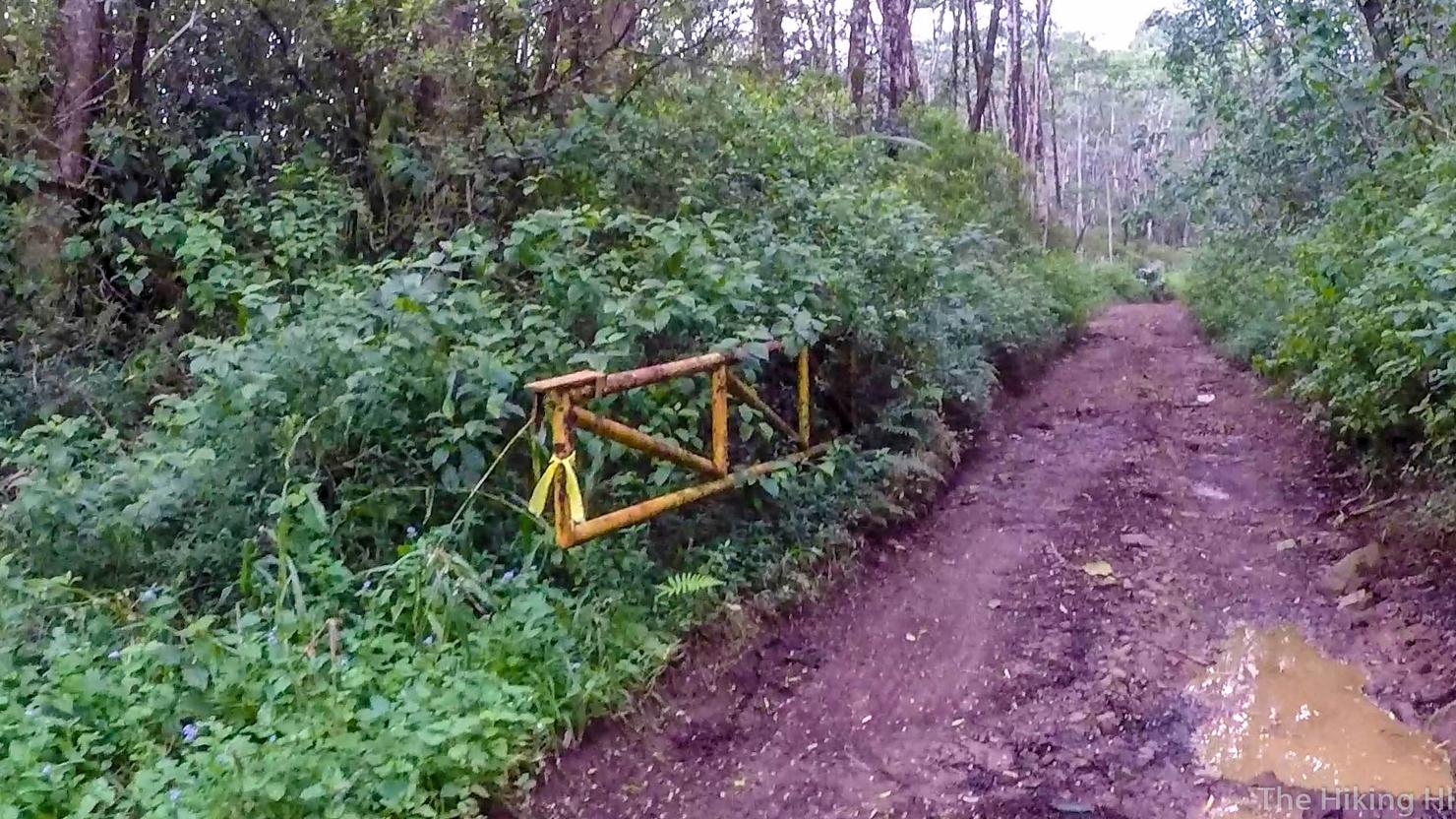
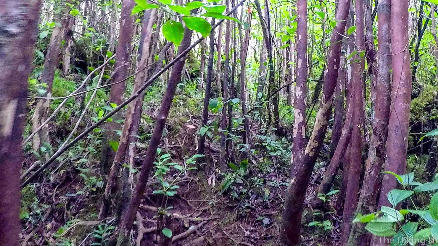
On and on the road continued, progressively getting more muddy and narrow. In hindsight, I wish I had gotten a jeep. I love hiking and exercise, but being able to drive this would have been a lot of fun (and considerably easier).
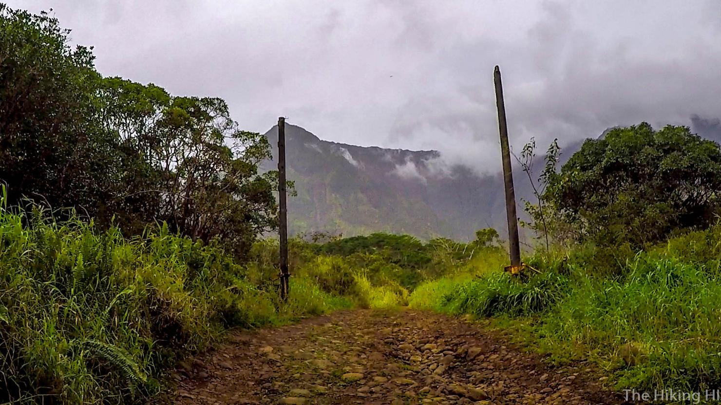
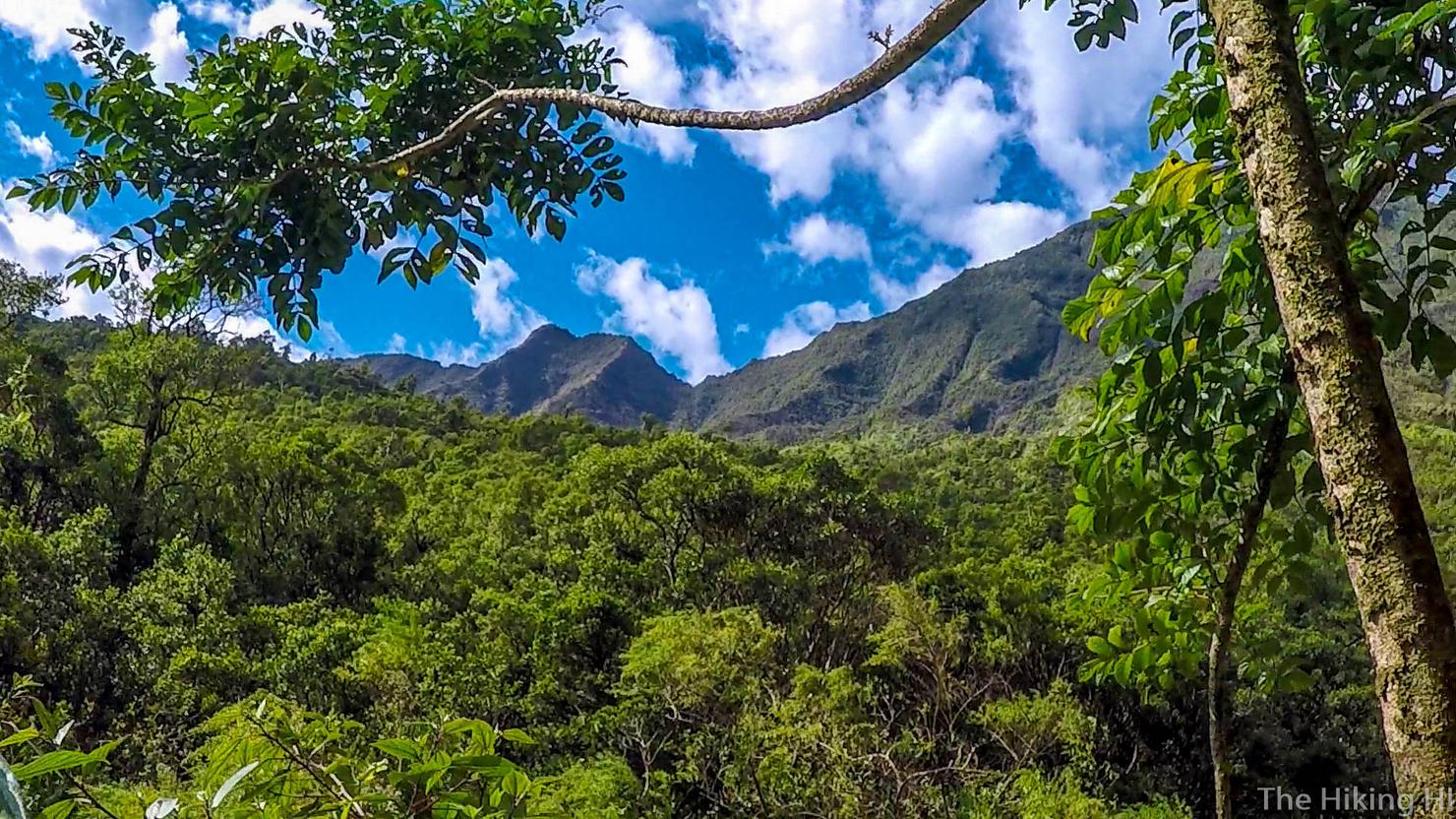
Alas after 1.5 hours I had reached the gate to Jurassic Park. Images of the movie flashed through my head as I walked through the pillars. I started humming the theme song for my own enjoyment... and in case there were any Velociraptors hanging around.
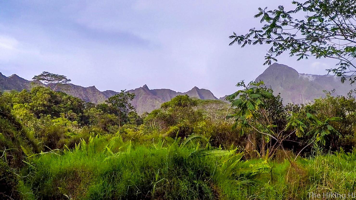
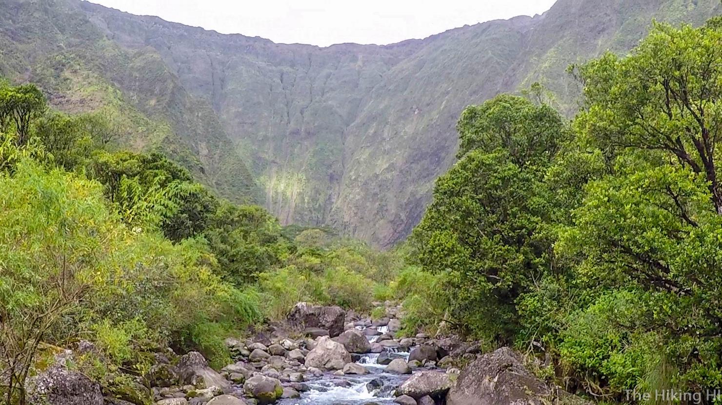
The views beyond the gate really were stunning. It's no wonder that Steven Spielberg chose this spot.
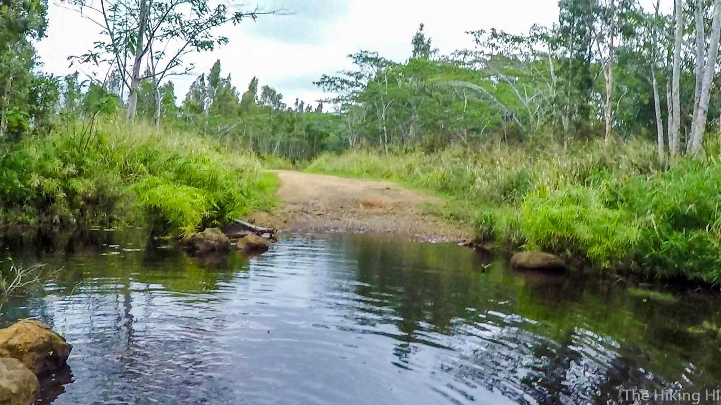
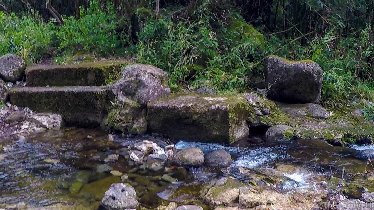
After another 20 minutes or so I had reached the weir, the structure that diverts the water from the river. The real hike was about to begin.
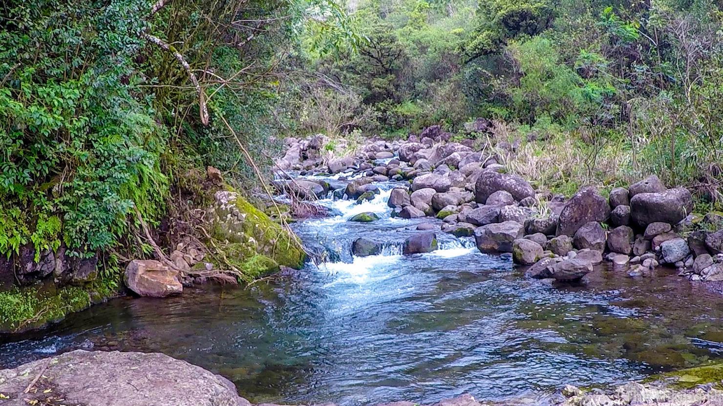
When I arrived at the river, it was flowing, but not at any dangerous pace. I wasn't exactly sure what dangerous would look like, so I tried to take a mental video for reference.
I decided to take what looked like the obvious path on the other side of the river.
And then continued into the woods to what appeared to be an obvious trail. DON'T DO IT. IT'S A TRICK.
Sure you may get some nice foliage...
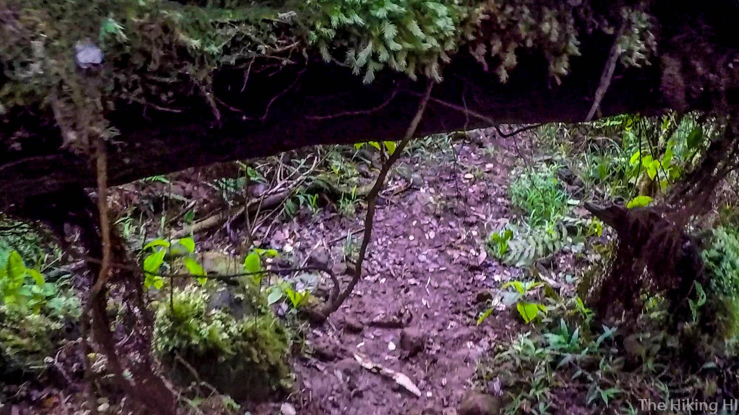
And even have to duck under a few trees, which is always fun...
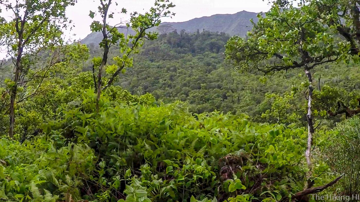
And even get to see this nice view of the mountains with the bright green trees in the foreground...
But, IT IS NOT WORTH IT. The trail is crazy overgrown with tons of scratchy plants and spiders. It also takes you far away from the river and is very slow moving. I tried to do the math after and think it added about an hour to my outbound hike.
Not to mention, it was very muddy. If I'm going to get my feet wet, I'd rather do it near a nice pleasant river. This was a point where I was was literally walking down a runoff path.
But finally, I made it back to the river. Like I said, it would be much better to follow one of the trails along the river or just simply do some rock hopping (you're going to have to do it anyway). If you ever venture more then a couple hundred feet away from the river, you've gone too far. Just stay close to the river.
Besides, I'd much rather be "forced" to look at views like these.
Or these..
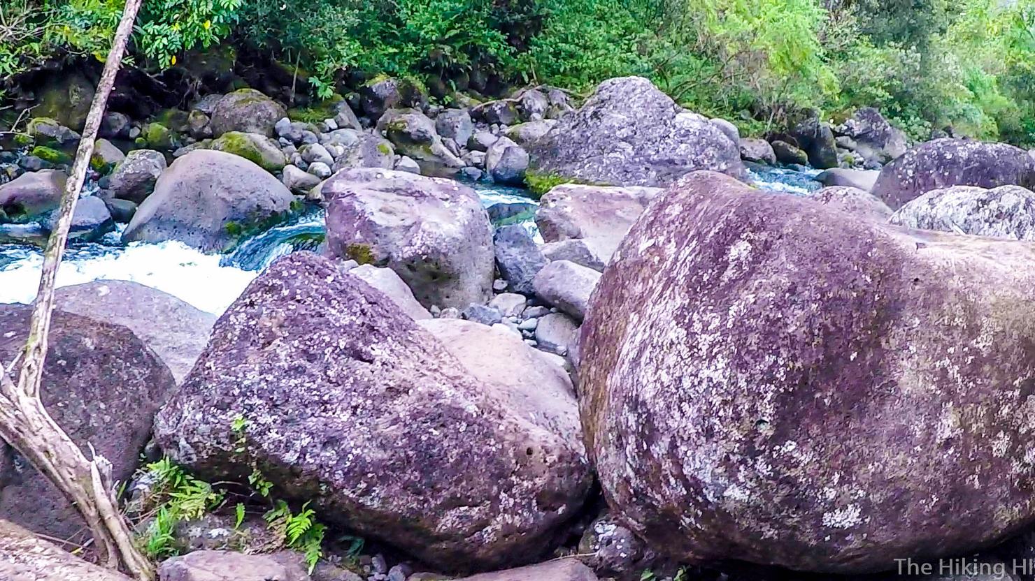
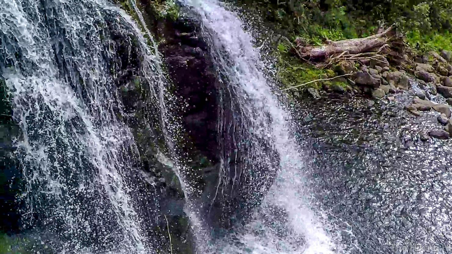
It is still a slow moving hiking up the river. You can either ford the river in calm spots and get your feet wet, or jump from rock to rock (like above). I did both based on whatever looked/felt the easiest. There were several times where I changed my mind in order to find the path of least resistance. It's like a puzzle, but it was what made this hike really fun.
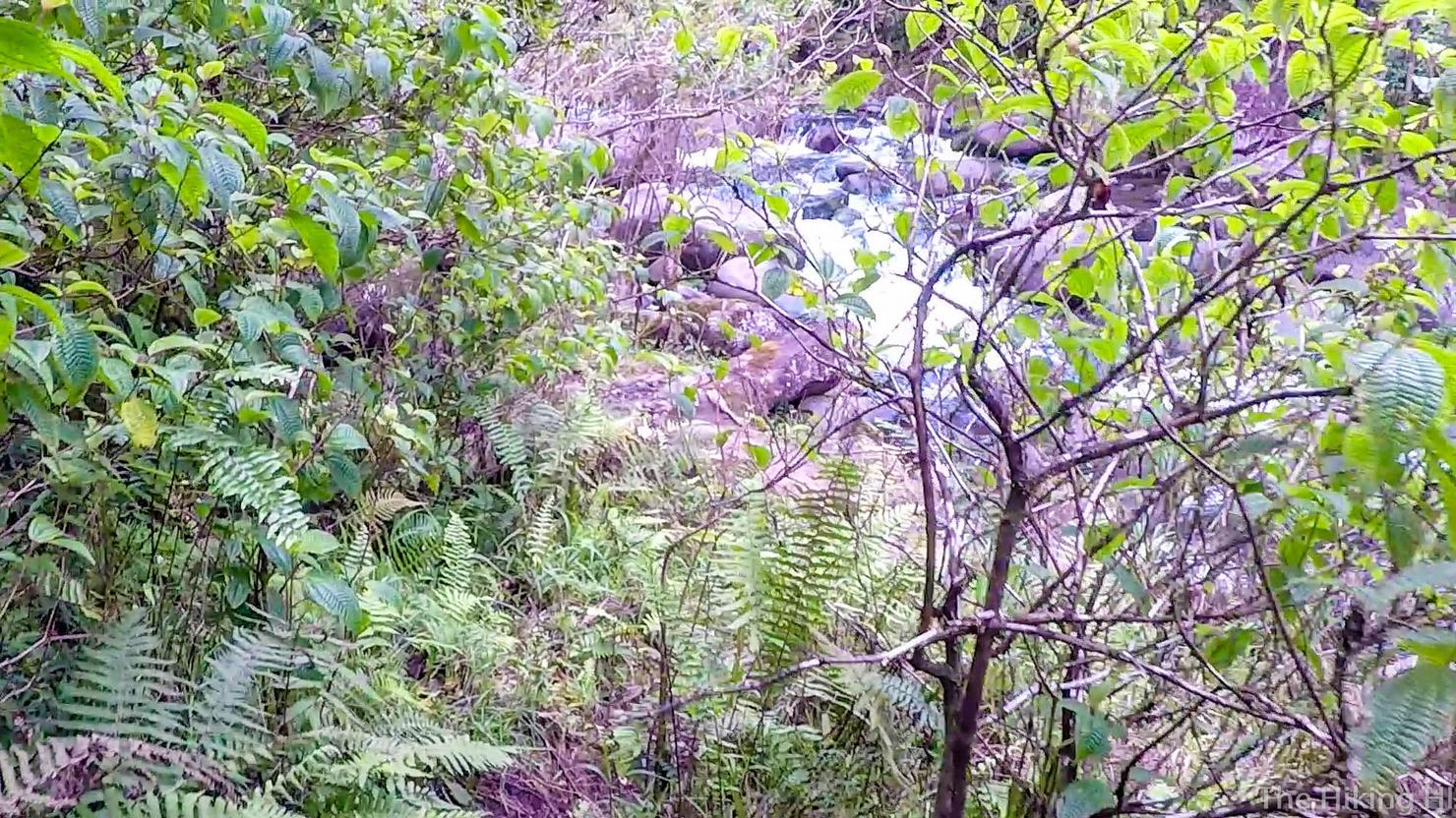
There were also plenty of trails that run along the sides of the river. I can't really give guidance as to where they are because there are so many of them. Just keep your eyes open and always be looking for an easier path.
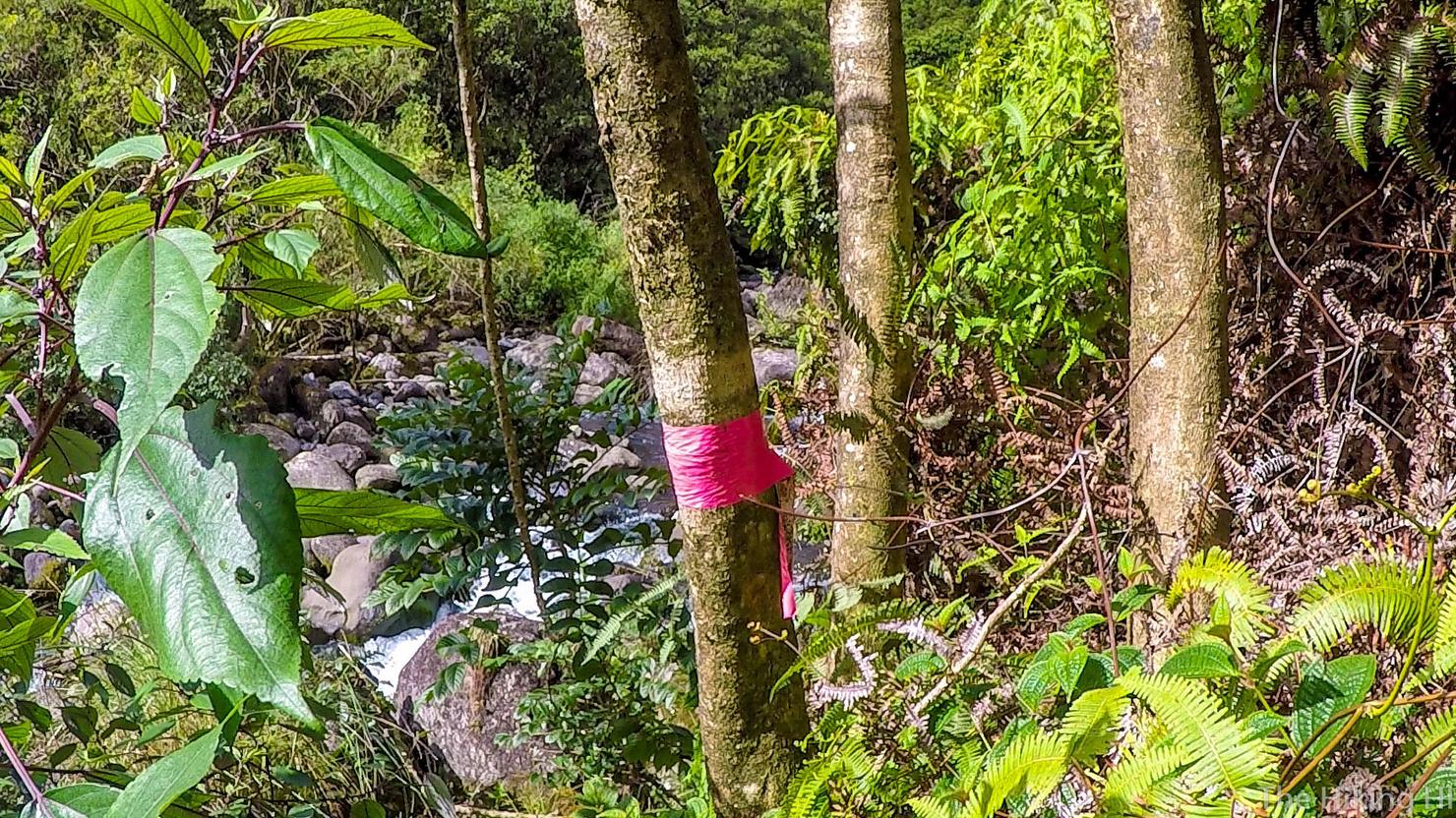
After some considerable time, I was beginning to wonder if I was lost. I had yet to reach the junction of three streams, but then I saw this trail marker on the right side of the river (heading upstream). It was the biggest marker I had ever seen in my life so I figured it had to be significant. It was my sign to continue.
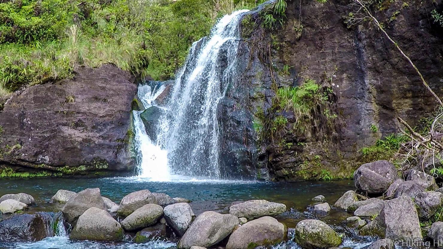
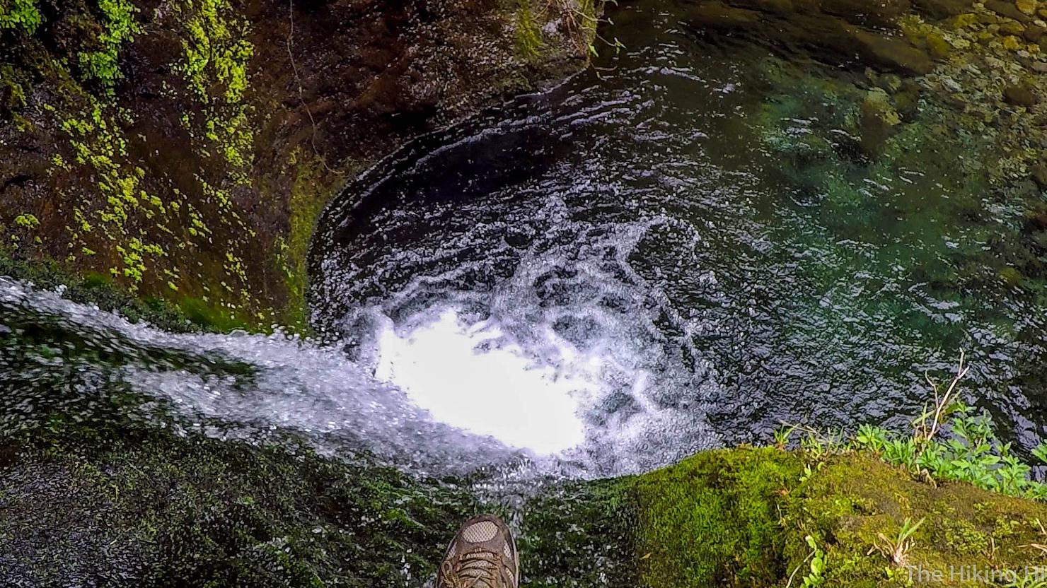
And finally, I reached the three-way convergence falls or its far more badass name, Guardian Falls. It was a relief to see. Not only was it beautiful but it also meant I hadn't been wandering meaninglessly up a river for 3 hours. I rewarded myself with lunch and a little swim in the falls. I feel obliged to tell you that when I swam, I did it....completely nude. I'm not a person that normally does that but that is how alone I felt out there. I hadn't seen a soul, nor would I see one until I got back to the Jurassic Park Gate. It was quite a freeing experience ;
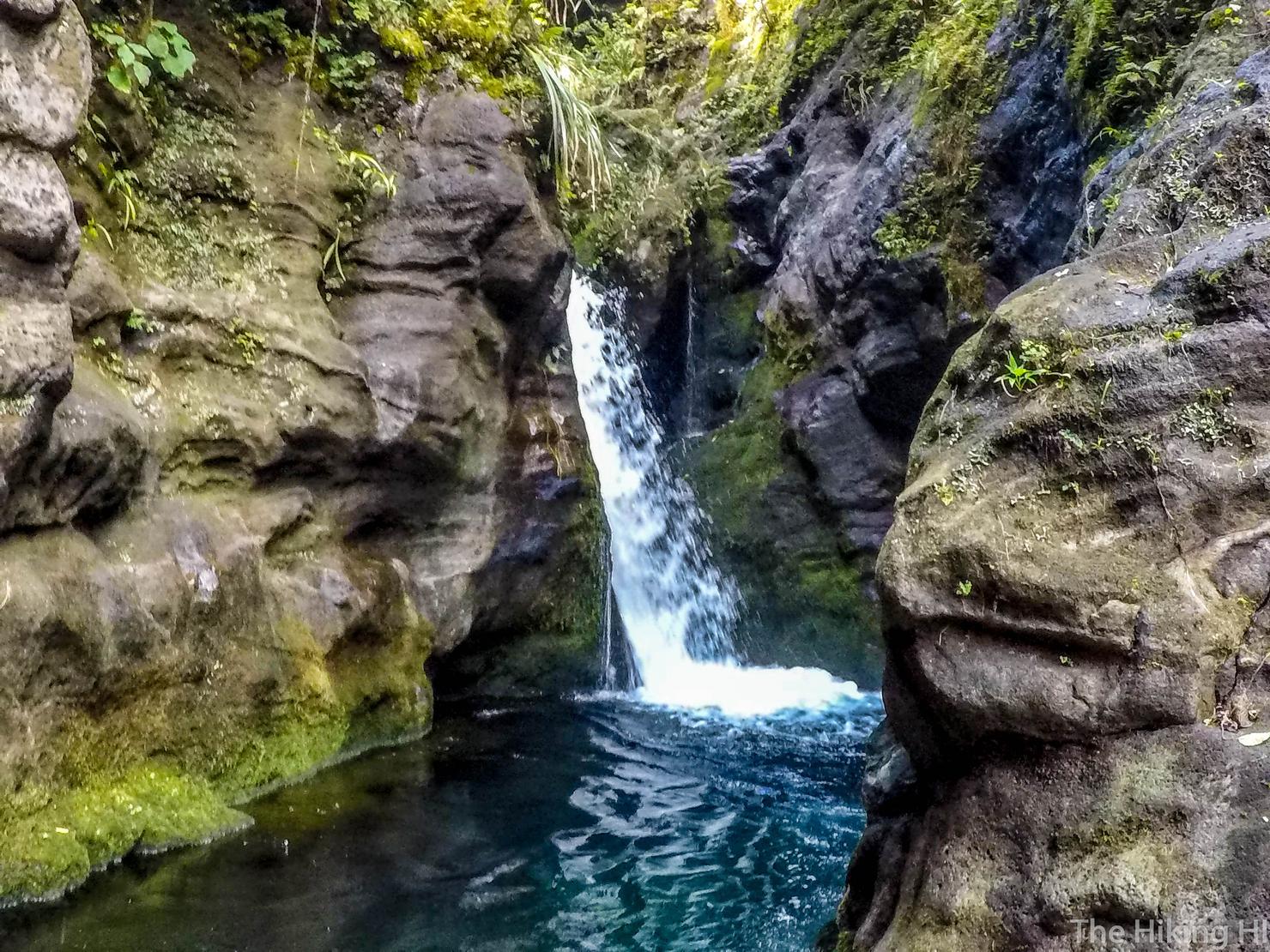
I ventured to the left of Guardian Falls to find another beautiful waterfall. There were small little falls like these from here until I reached the back wall (or what I thought was the back wall). It really drove home the whole "wettest place in the world" concept.
It was time to venture on. I took the obvious path to the left of Guardian Falls (between the middle and left streams). This was the start of the climbing aspect of this hike.
Shots like this really capture how secluded and wild this hike felt.
Or shots like these where you are climbing straight up a small waterfall.
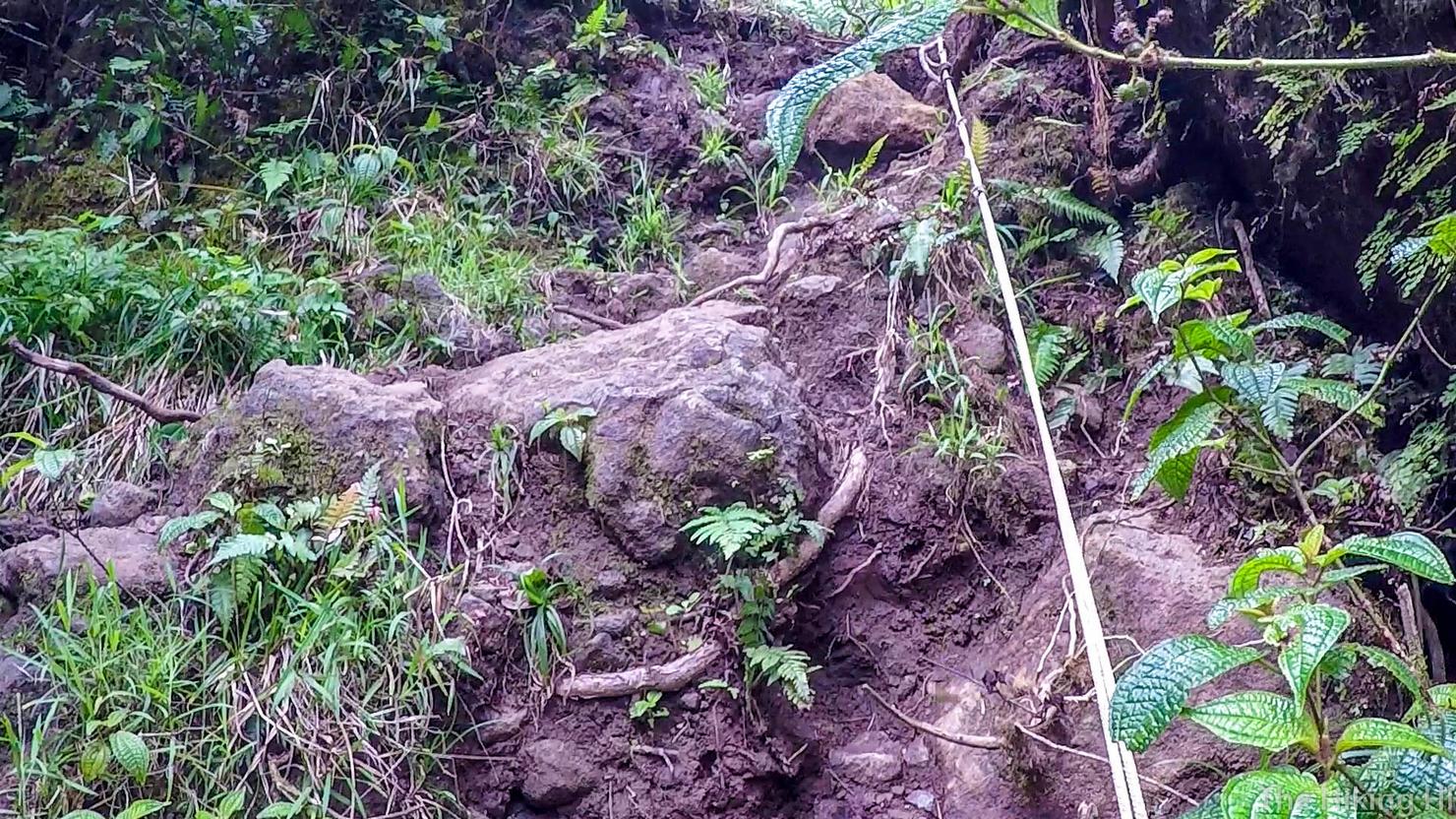
At some point, the river will narrow to the point where there is hardly a trail on either side. This is your cue to head left to climb up a small ridge. There are several points where you can cut left to get to the trail that will allow you to ascend the ridge, so keep your eyes peeled. If you find a rope, you're on the right path.
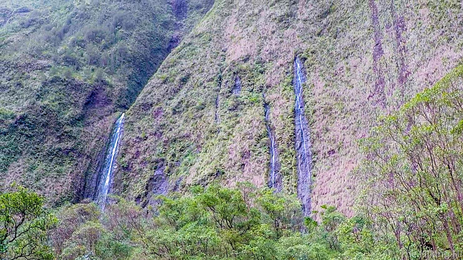
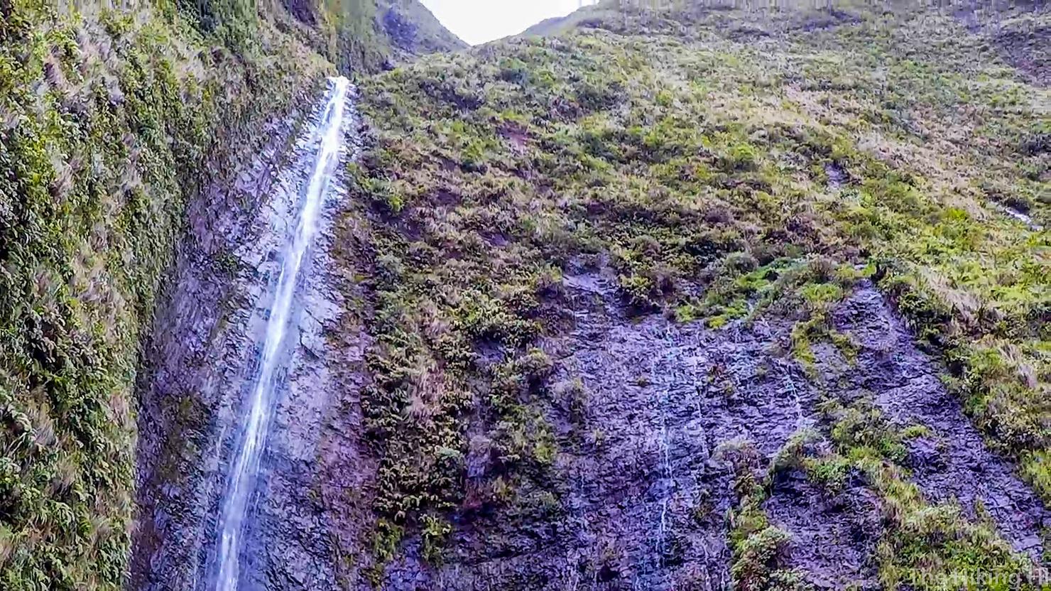
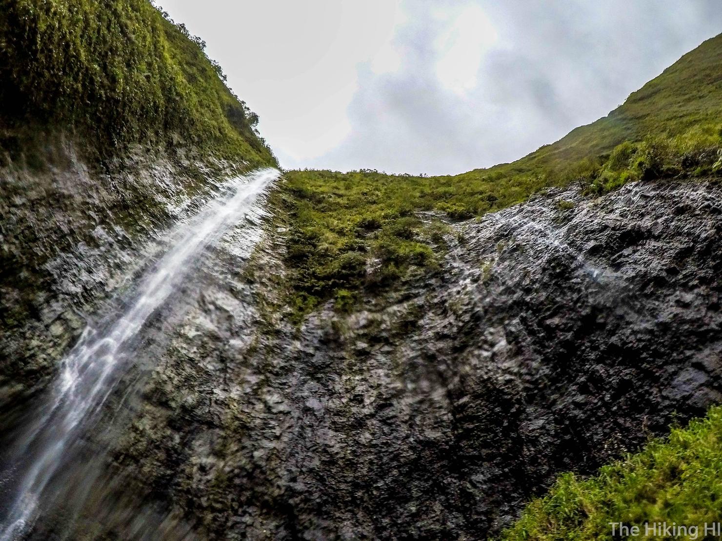
And once you get to the top of the ridge, you will finally see a large waterfall (left most). If you look around, you should see several smaller waterfalls trickling away. It's something I had only seen on Oahu, and that was only when it was pouring. It was impressive to see on such a dry day.
As I made my way to the edge of the ridge, I saw another waterfall in the distance. I knew I had to check it out.
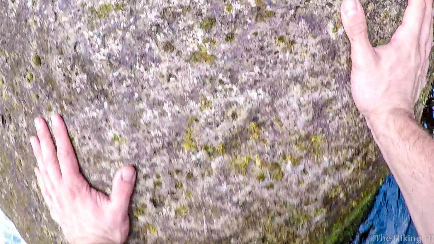
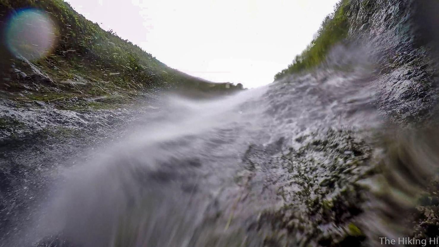
It was a cute little waterfall. And with all the slick moss growing, it seemed like a perfect place for a natural waterslide.
Worked like a charm.
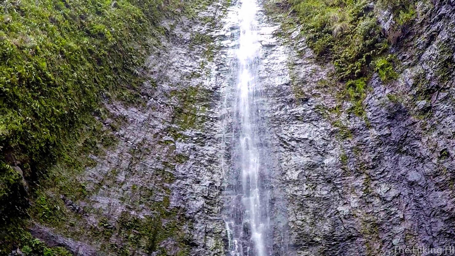
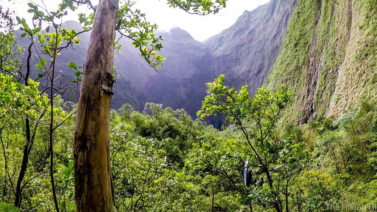
It was time to head back to the big waterfall, which at the time I thought was the famous Weeping Wall.
Regardless, it was still magnificent.
This was a journey I would remember for a long time.
I realized after, I never made it to the famous Weeping Wall of Mount Wai'ale'ale. I believe I had to continue on farther, past the waterfall where I did my moss slide. It is tough to find information on this hike, so I definitely recommend hiring a guide if you are determined to see it (remember this is by no means official trail information). However, no matter how far you venture into the valley, I guarantee you will understand why this hike is so amazing.
Check out my video of the long and wet journey!
Have you experienced the "wettest place on Earth"? Share your story below!