Difficulty: INTERMEDIATE-ADVANCED
Time: 3-5 HOURS
Distance: 4 MILES
Elevation Gain: 1900 FEET
Foot Traffic: LOW
Challenges: Narrow Ridges, Steep Scrambles, Possible Mud
Sights: Windward Side, Honolulu, Diamond Head
What to Bring: Water (>2L), Snack, Sunscreen, Long Pants
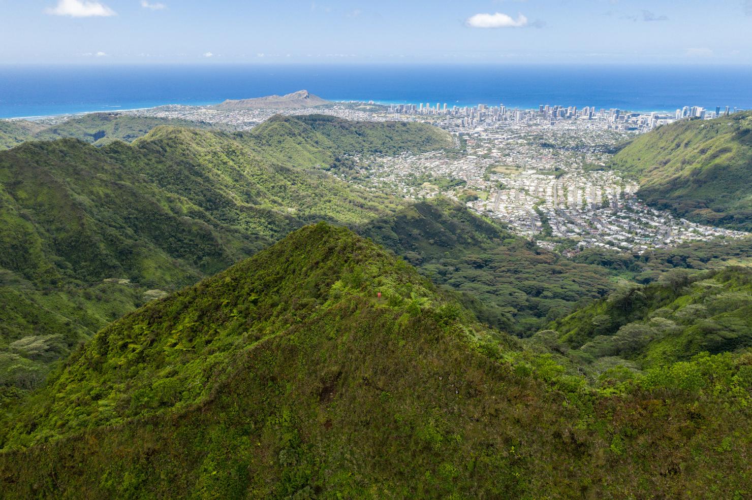
A lesser known hike near Honolulu, Manoa Middle is a classic ungraded Oahu ridge. A physically demanding trail coupled with steep scrambles and narrow ridges are the challenges you will face if you want to reach the end of this ridge. But, reach the summit, and you will be rewarded with unimpeded 360 degree views of windward and leeward Oahu. And if that hasn't quite satisfied your hiking fix, traverse the Ko'olau Summit Trail towards Mount Olympus, making this an even more epic adventure.
It's been a hot minute since I've tackled a new ridge in the Ko'olaus. A few interisland adventures (and a lot of work), had really put a hindrance on my trail exploration. As I stared out the window of my Honolulu apartment at those sharp green peaks, totally clear of any clouds, I knew it was time to end that hiatus. I grabbed my camera and backpack and made the short drive to Manoa, ready to take on Manoa Middle Ridge.
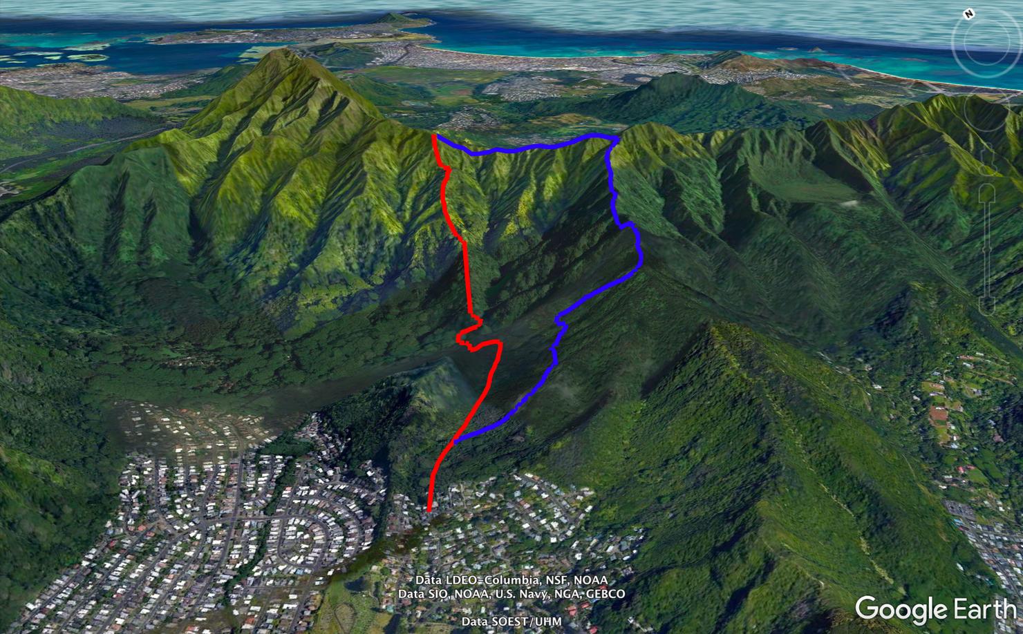
The only trick in this hike is finding the start of the ridge, where you must first take descend into the valley before beginning the ascent up Manoa Middle Ridge. One variance to this hike is highlighted in blue, where you can connect Manoa Middle to Mount Olympus and return to the same starting point via the Kolowalu Trail.
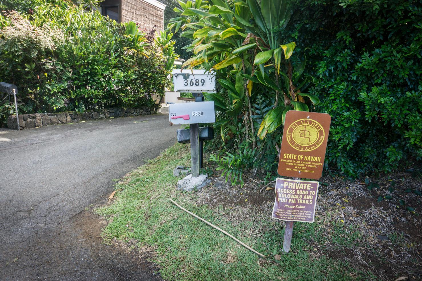
The trailhead is located on a hairpin turn on Alani Drive. You will have to walk along this paved road for a few minutes before reaching the actual trail. Street parking can be found on the side of Alani Drive.
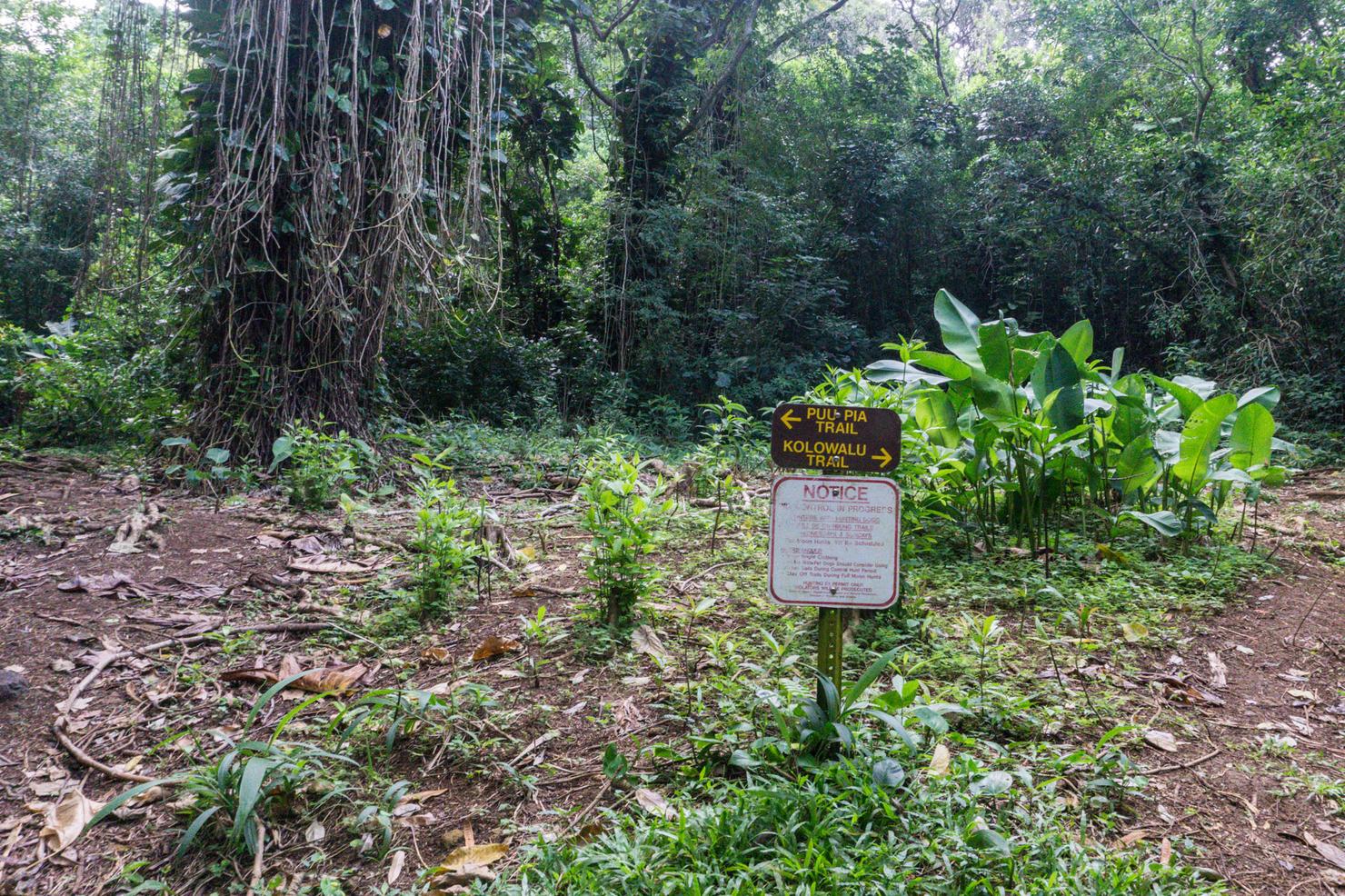
And we're off! Very soon into the trail you will arrive at a fork. We are going left to Pu'u Pia. If you decided to connect this to Mount Olympus, you would be returning from the right fork.
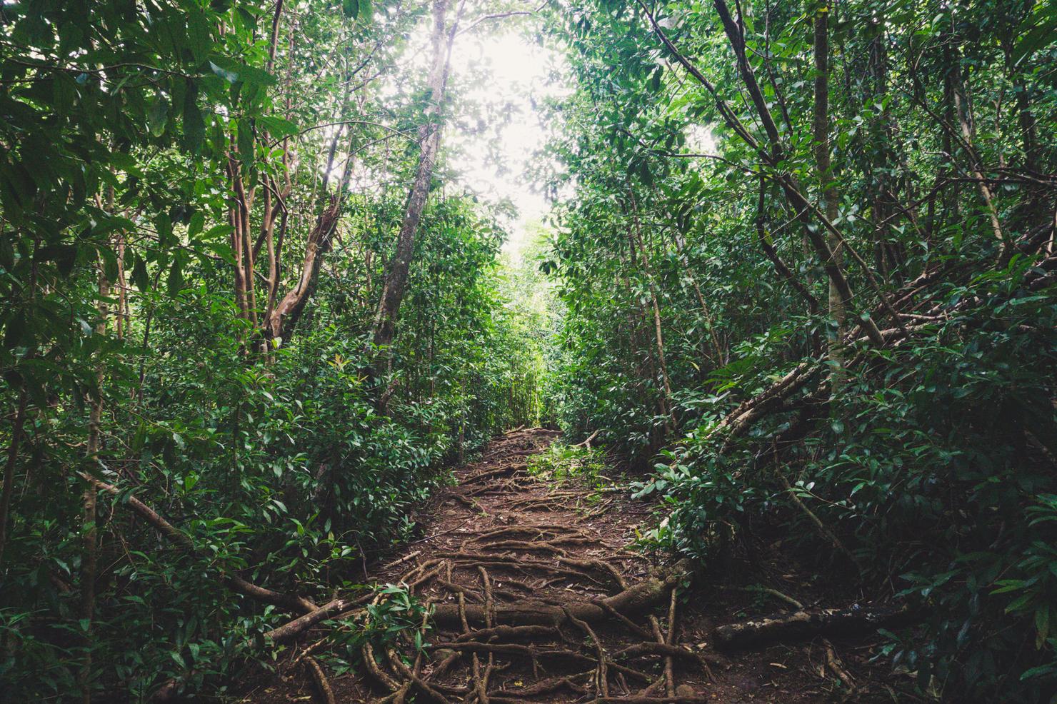
Ahh nothing like the smell of nature on a calm, crisp Oahu morning.
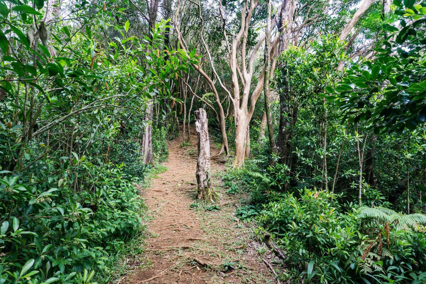
The first major turn on the trail comes along Pu'u Pia, right around here. This is the turn that will take us downhill to the valley. It can be easy to miss so just keep your eyes peeled on the right side of the trail. The Manoa Middle Ridge AllTrails track does a good job at marking the turn. If you were to continue straight along this trail, you would arrive at the Pu'u Pia summit (more info here).
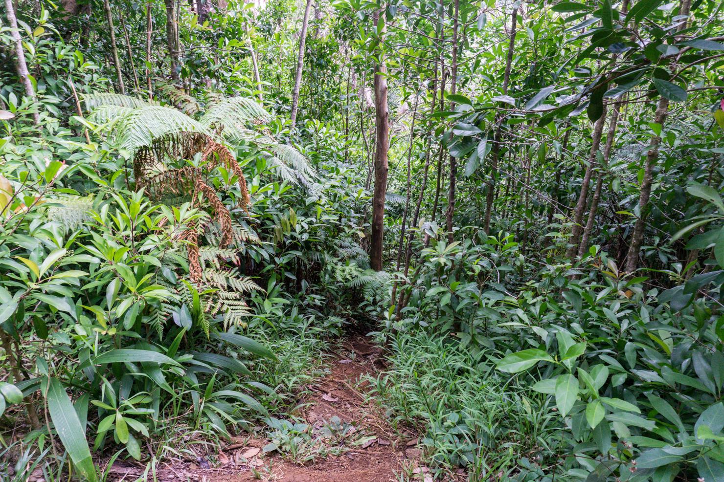
The turn for the descent looks something like this. You will see ribbons guiding you down to the valley.
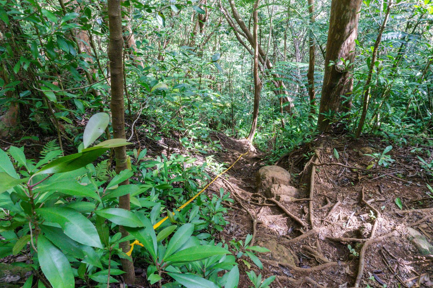
This descent is actually quite steep. Steep enough that the ropes attached to the trees were a nice aid, especially if you catch it on a muddy day.
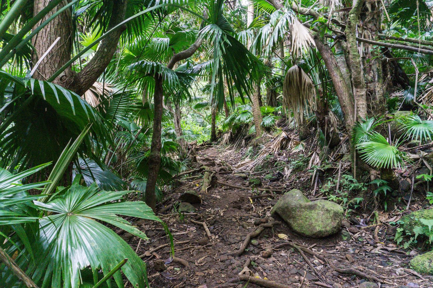
We've reached the base of the valley. Take a right along the trail that parallels a stream.
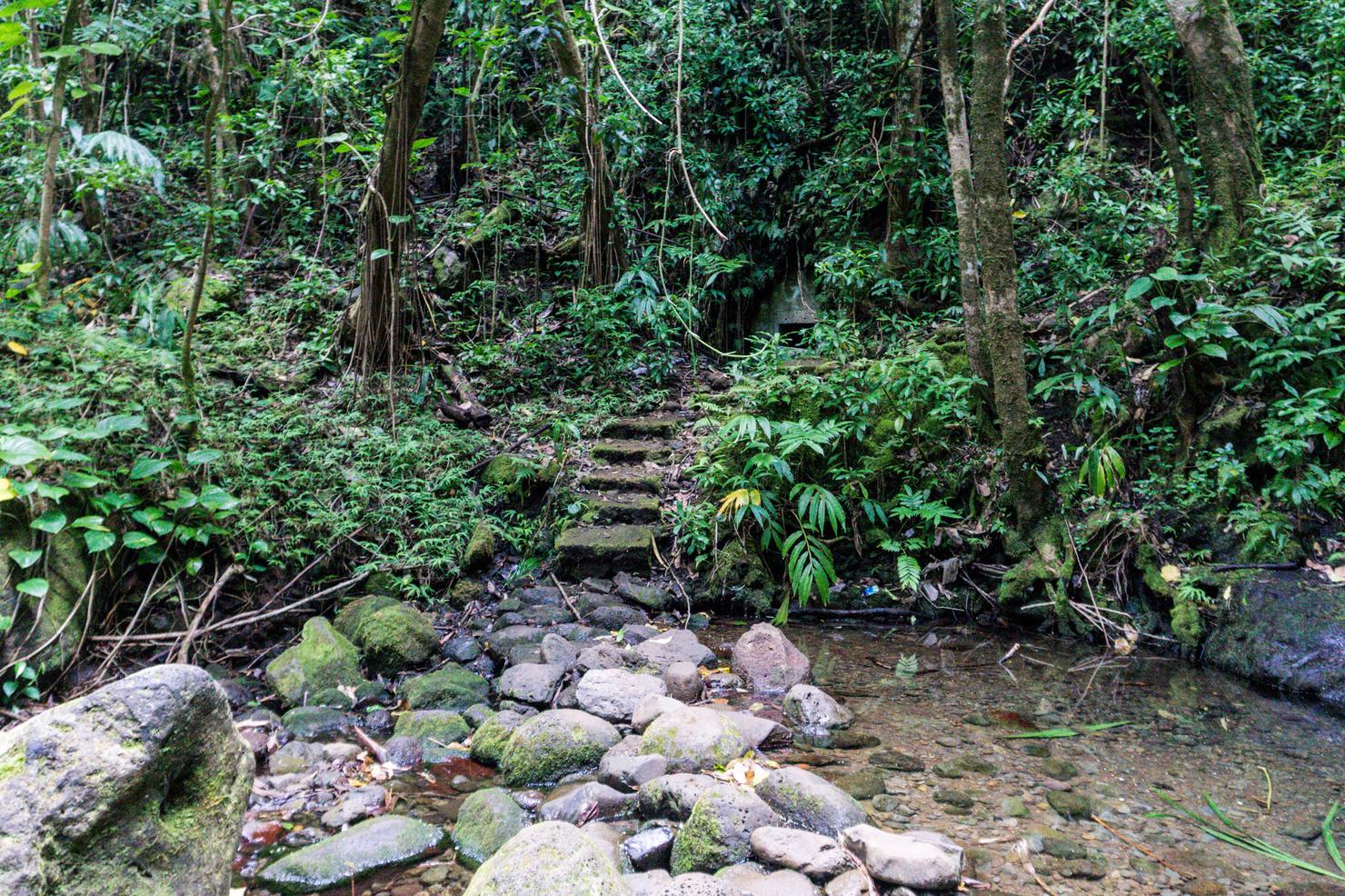
Soon after the trail will end and require you to cross the stream to continue. The crossing isn't too bad, but if it's been raining... well it may be a bit more of a challenge. Flash floods are always a risk on any hike in the valley.
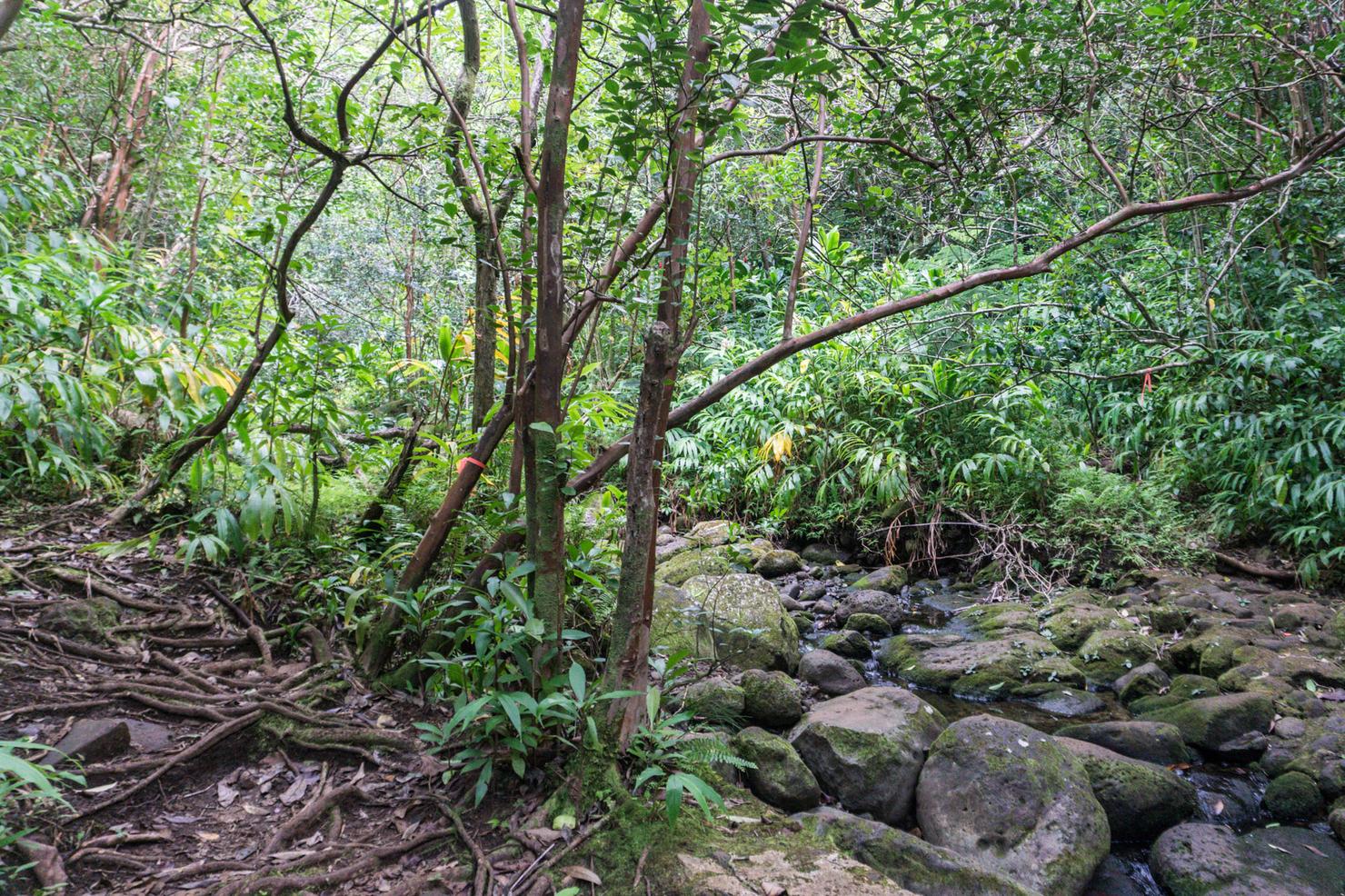
Right after the crossing is the second major turn. You will hit this fork where you can either cross the stream again, or follow a ribbon to the left and uphill. Crossing the stream will take you on the path towards Waiakeakua Falls. Taking a left will lead you to the path to the ridge.
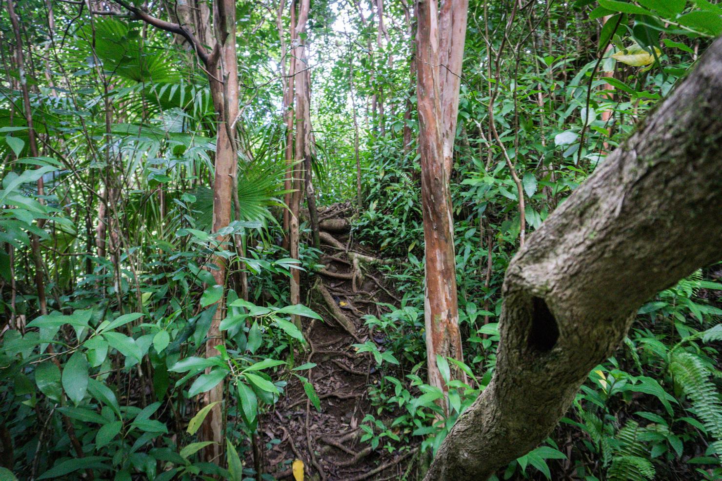
And so begins the ascent. I was actually quite proud of myself, I rarely ever make the correct turns on my first try but I had managed to do it this time. Of course I actually had been on this ridge before. I used it awhile back during my long hike from the Pali Notches to K1 as a way to return to civilization. So I guess the correct path was buried in my subconscious somewhere....
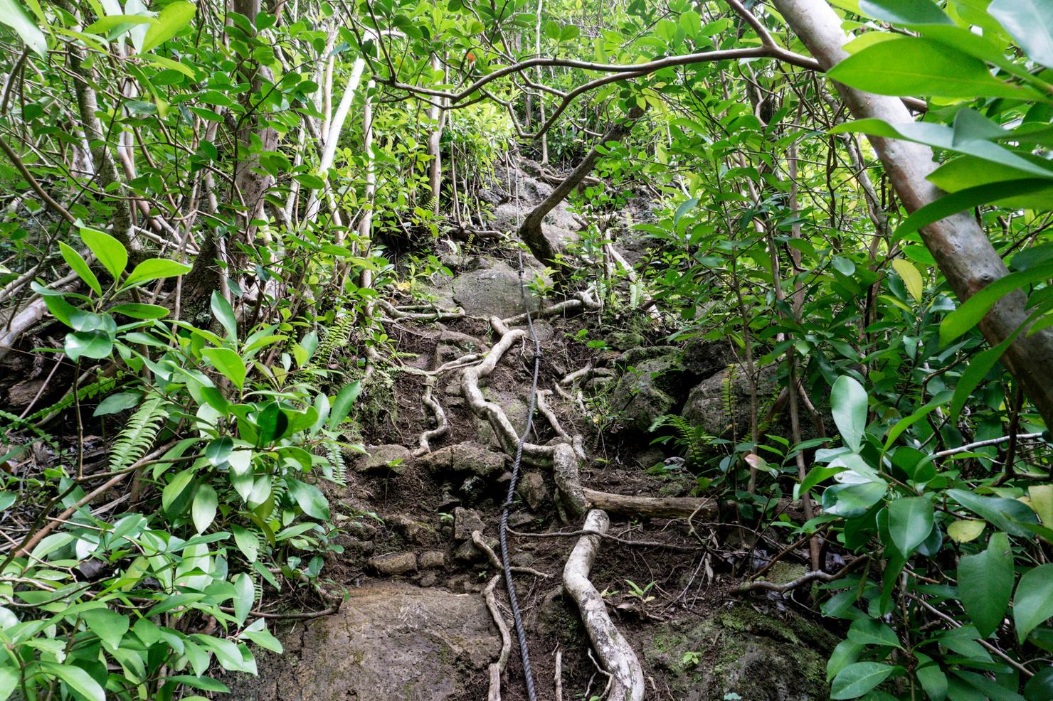
But this time we are going up vice down--and it's no slouch. We are gaining nearly 2,000 feet in elevation after all. There are a couple considerably steep sections like this one with ropes tied for assistance.
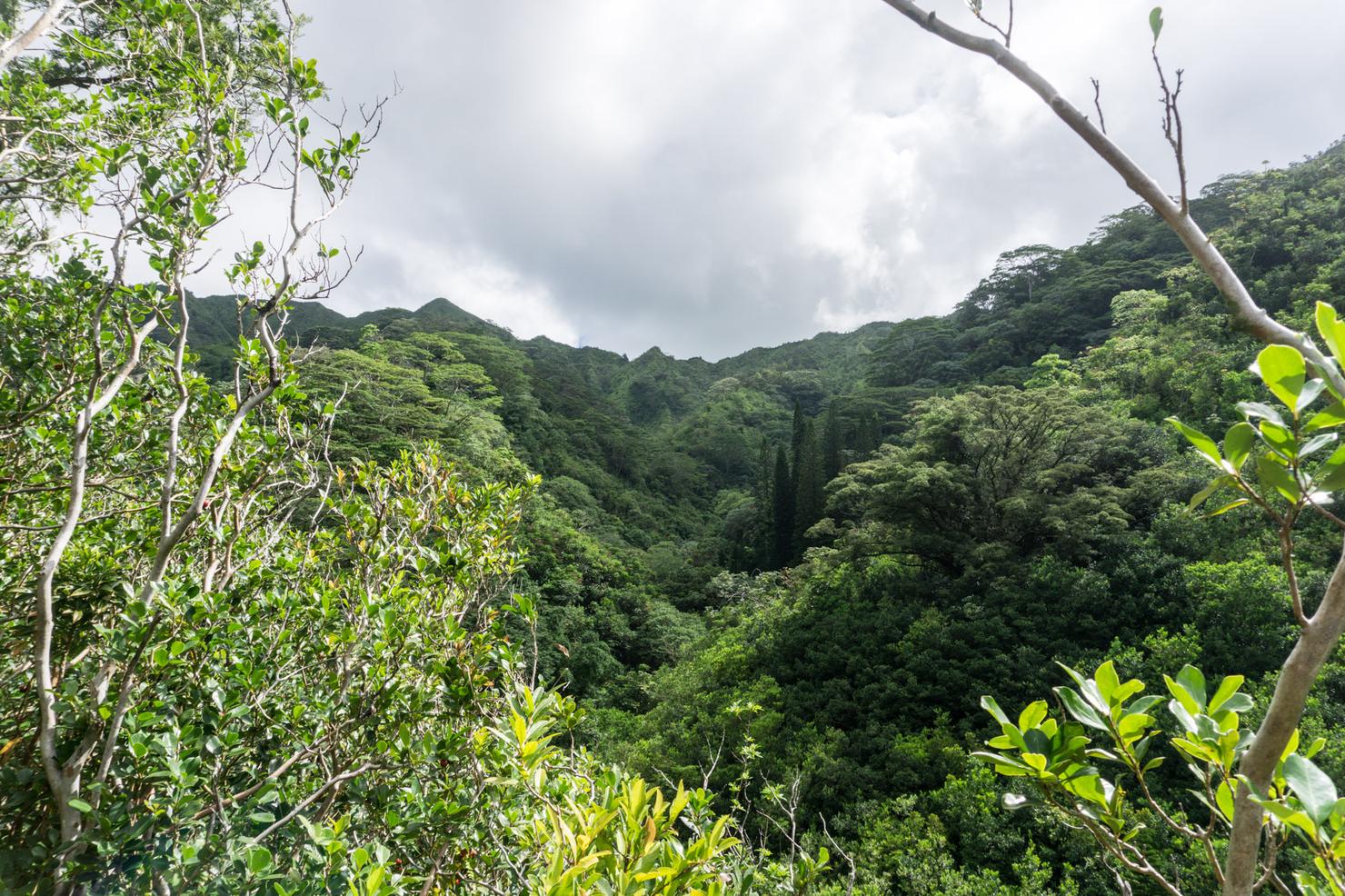
And we do have some lateral distance to travel as well. We are headed up there to the crest of the Ko'olaus.
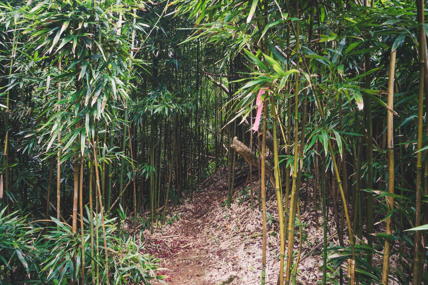
So nothing to do except put one foot in front of the other and embrace it. There's plenty of scenery to enjoy along the trail, including this small bamboo forest.
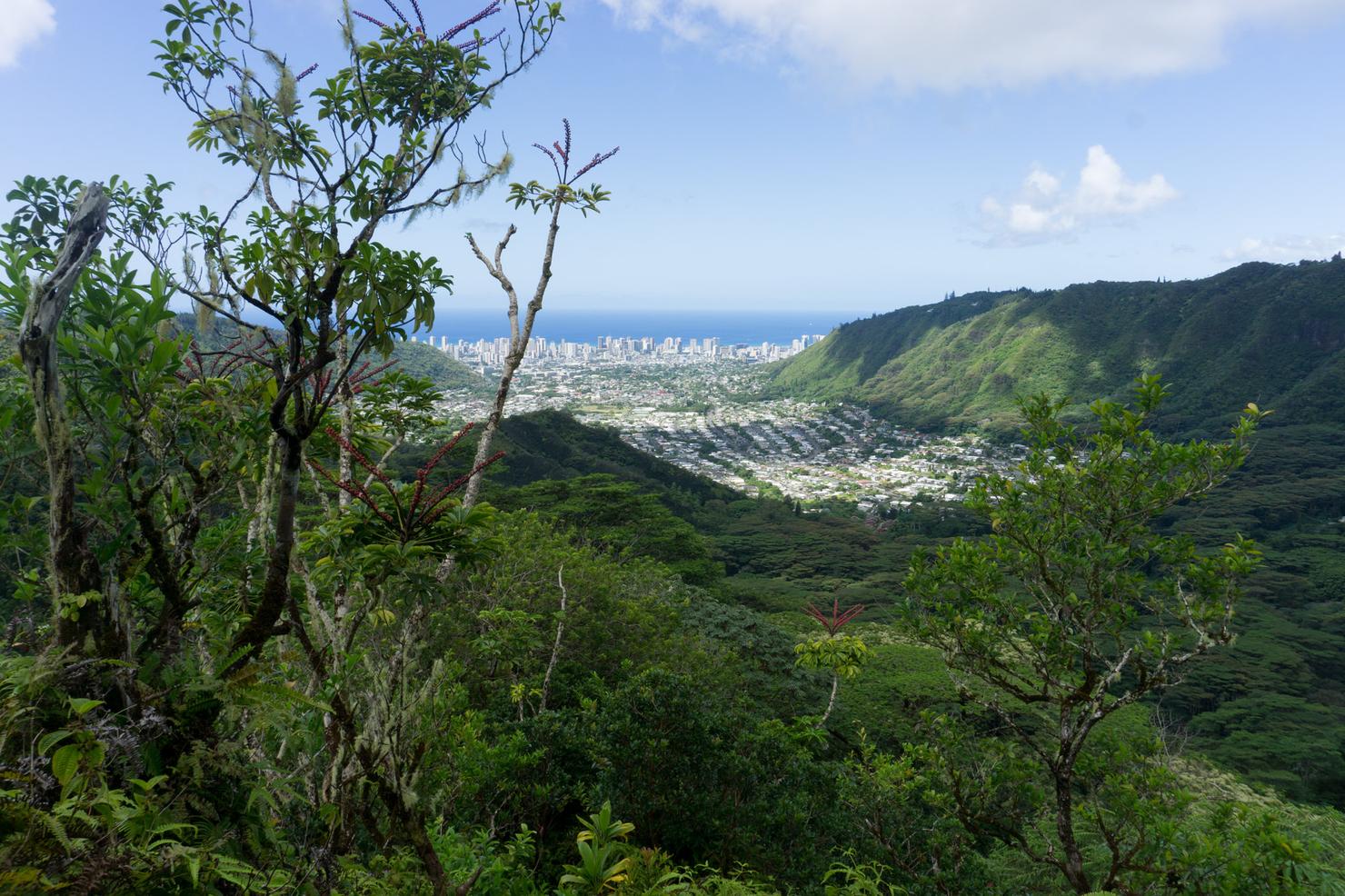
And once you get high enough, the trees will open up and you can get a clean view towards Honolulu.
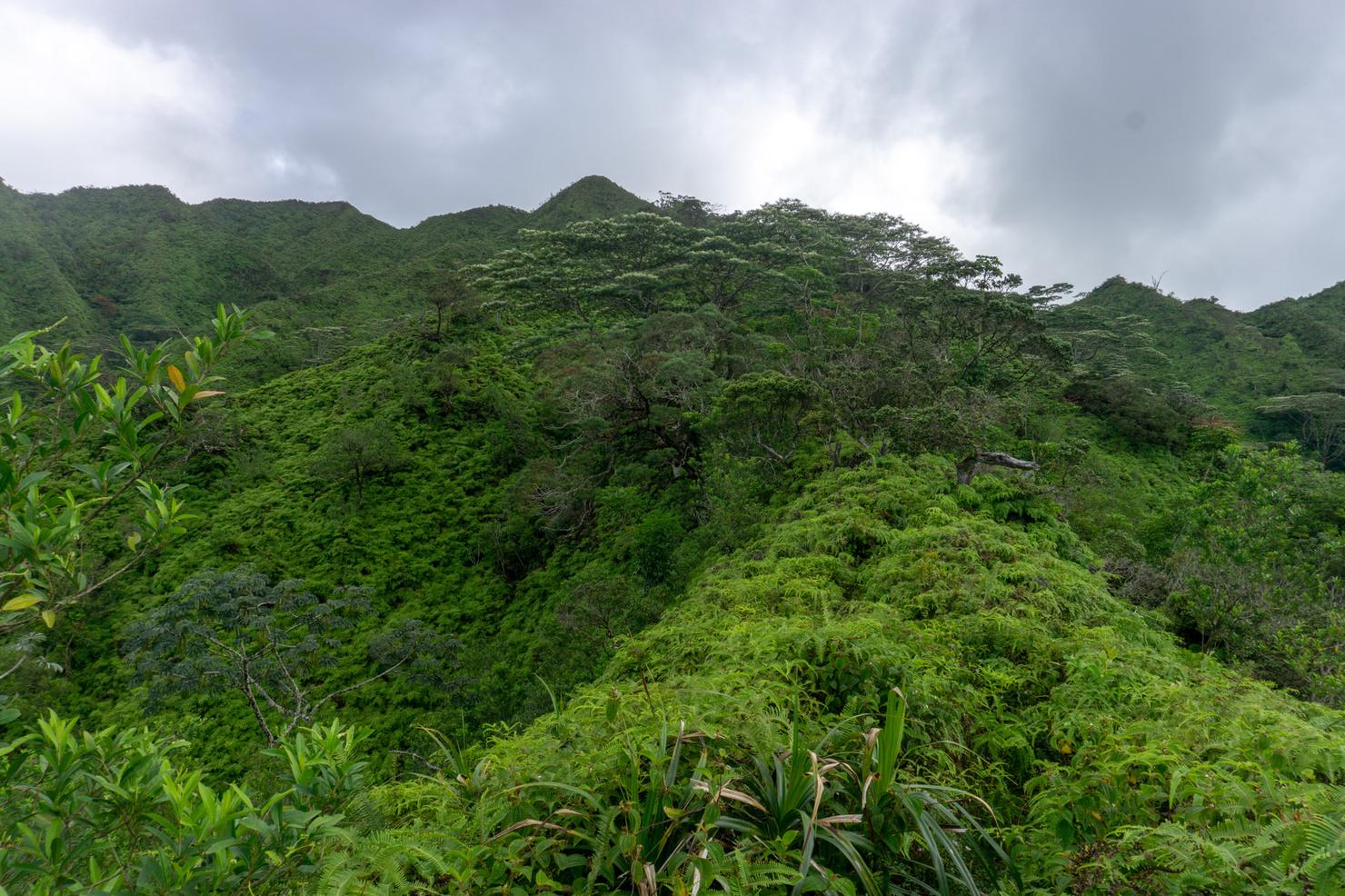
I can see the top! This final portion is where I noticed the trail got much more overgrown. While it's not as bad as other trails, I do recommend wearing long pants. Your skin will thank you.
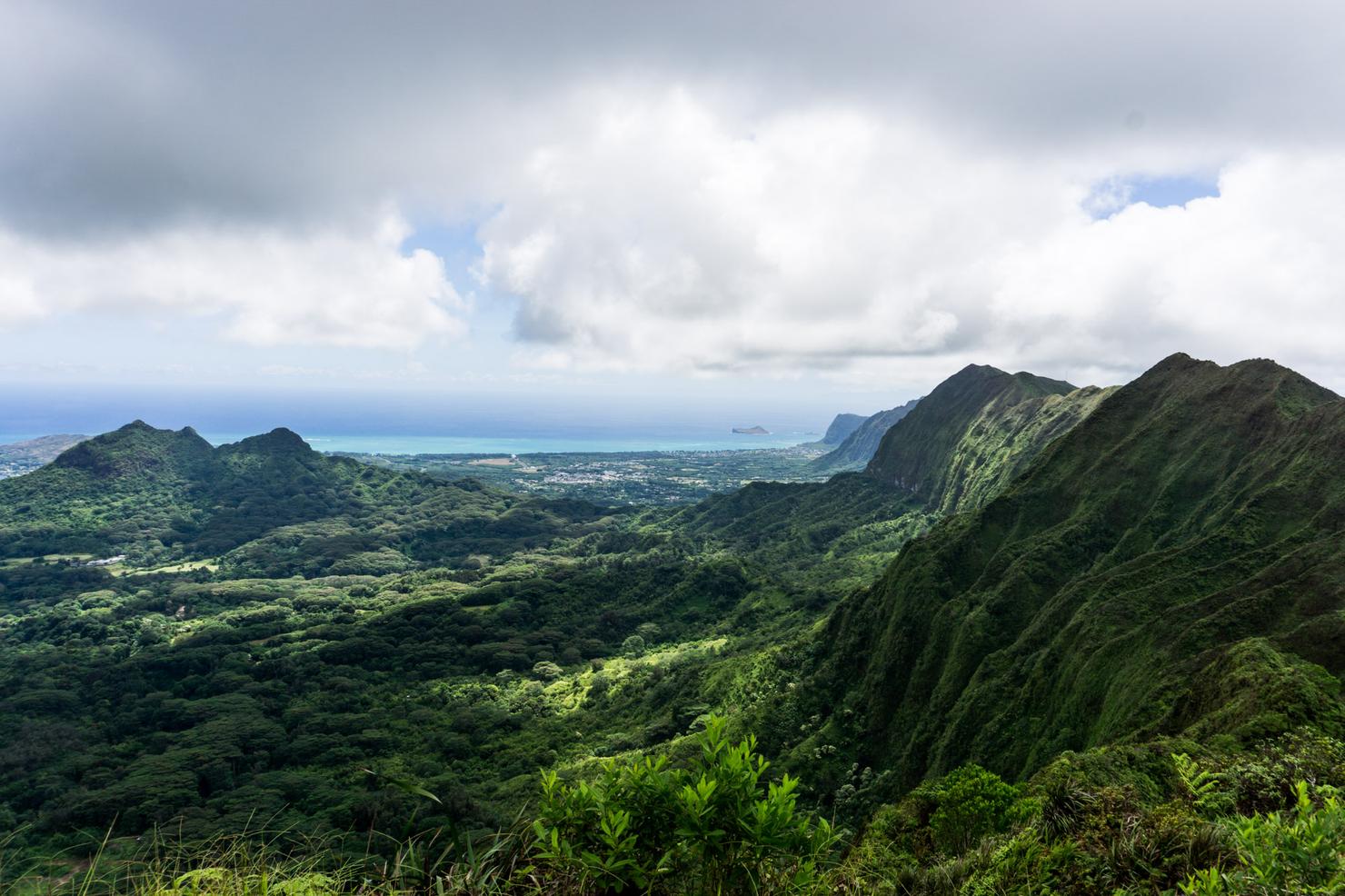
After an hour and a half, I reached the summit! And what a day for it. The clouds were just high enough to give me clear views of the surrounding landmarks. Here looking south along the Ko'olaus you can the prominent Three Peaks and even Rabbit Island off the south shore.
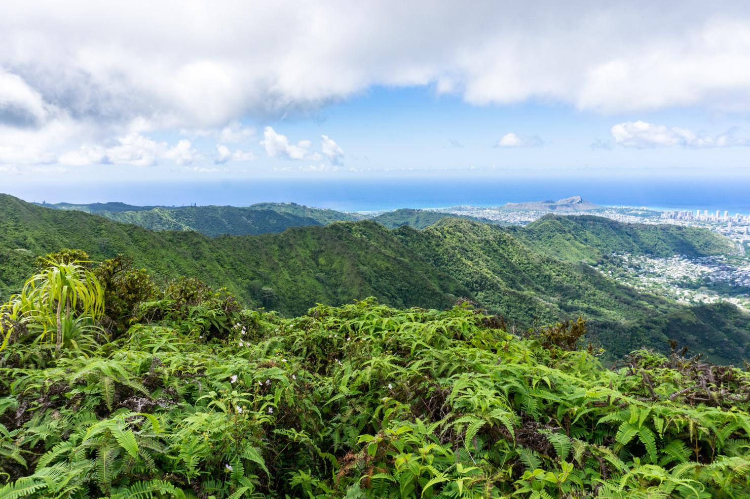
And back from where we came, a nice look at Diamond Head and Honolulu.
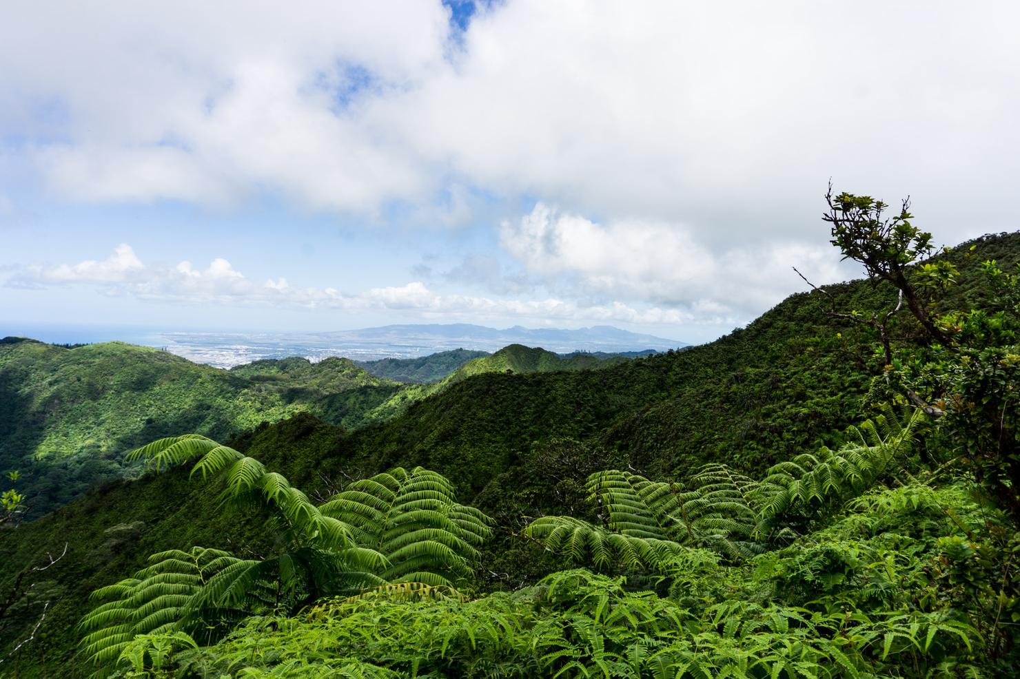
And we can even see all the way towards the West Side. Those humps in the distance are part of Oahu's other mountain range, the Waianae Range.
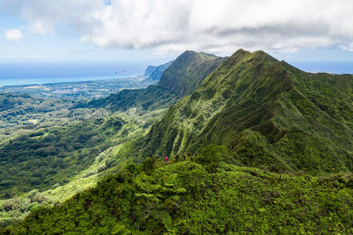
On a day like today, I had no choice but to fly. I love the perspective of being that small little speck surrounded by these massive ridges.
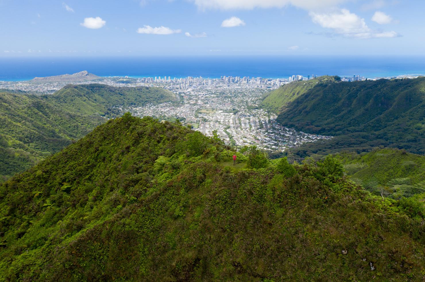
Aloha apartment!
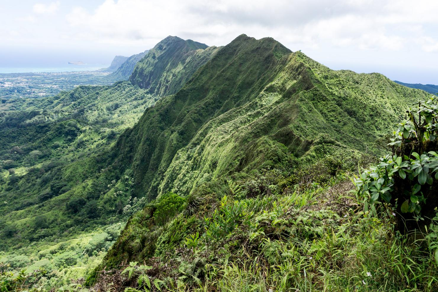
And if you're still reading this post, you get a bonus adventure! I decided to take the KST traverse to Mount Olympus. Given that this is one of the few places on island where you can hike on the KST without having to stage a second car, I had to seize the opportunity.
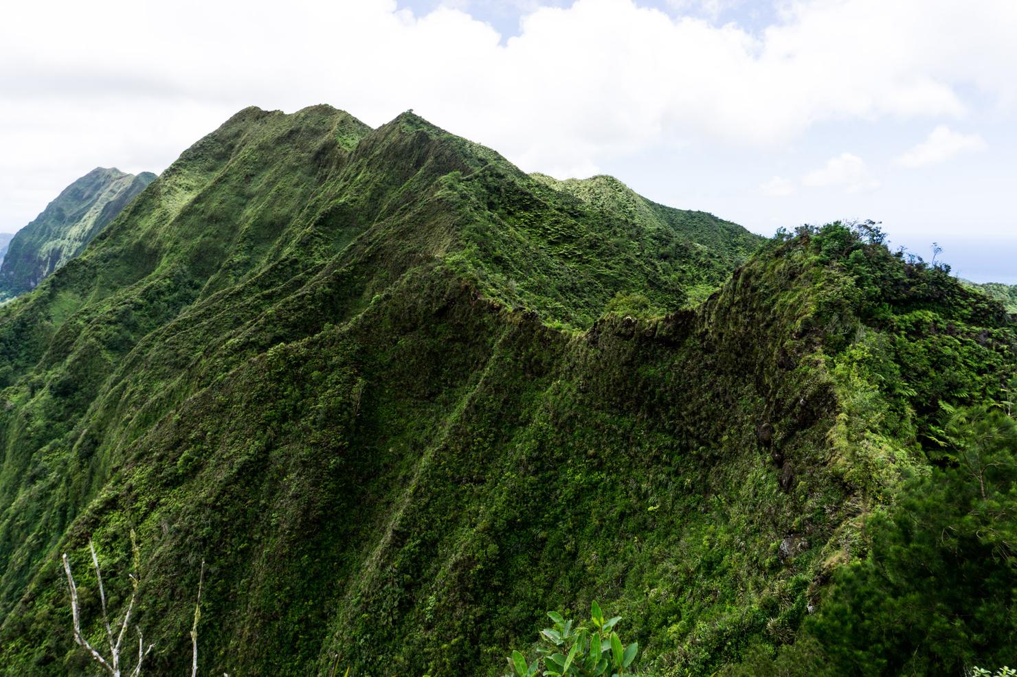
But KST hiking is no joke. It is a raw, unmaintained ridge with very narrow sections and steep dropoffs. This section really caught my eye. Let's hope it's not as hairy as it looks...
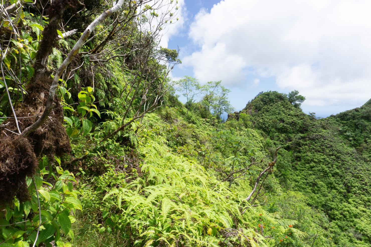
I soon learned that this section of the KST had a few "side trails", such as this, that actually took you off the crest of the ridge and allowed you to avoid the sketchier sections. And in my opinion, there's no reason not to take those trails. Why take the unnecessary risk?
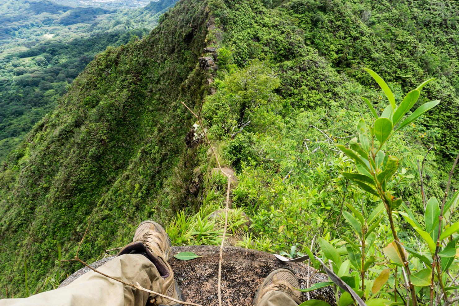
But I did decide to climb up on that rocky section of the ridge to show the perspective. Yep, just as I suspected--super sketch!
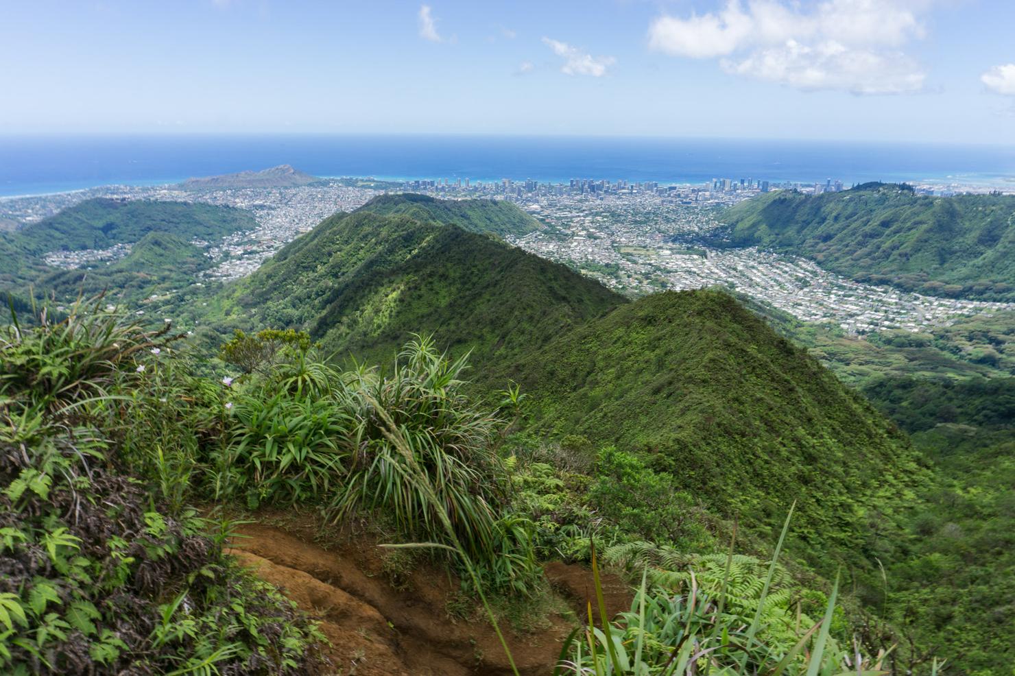
After almost an hour of hiking the traverse, I popped out near the summit of Mount Olympus. I caught a couple that was hiking by surprise, not expecting some guy to appear from the side of the mountain.
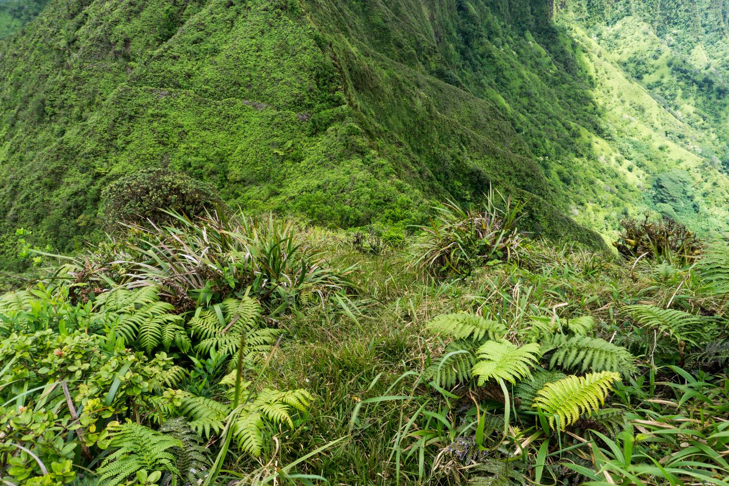
To be fair, this is where I came from. At first glance, you would think this is something goats would be climbing vice humans. But the more you push your limits, the more you realize what you are capable of.
And if pushing my limits keeps bringing me places like this, then push on I will.
