Difficulty: INTERMEDIATE
Time: 7-8 HOURS with Tour
Distance: 5.8 MILES / 9.3 KM
Elevation Gain: 1600 FEET / 488 METERS
Foot/Mule Traffic: MODERATE
Challenges: Requires tour, Uneven footing
Sights: Kalaupapa Peninsula, Moloka'i Sea Cliffs
What to Bring: Water, Snack (Lunch provided by tour)
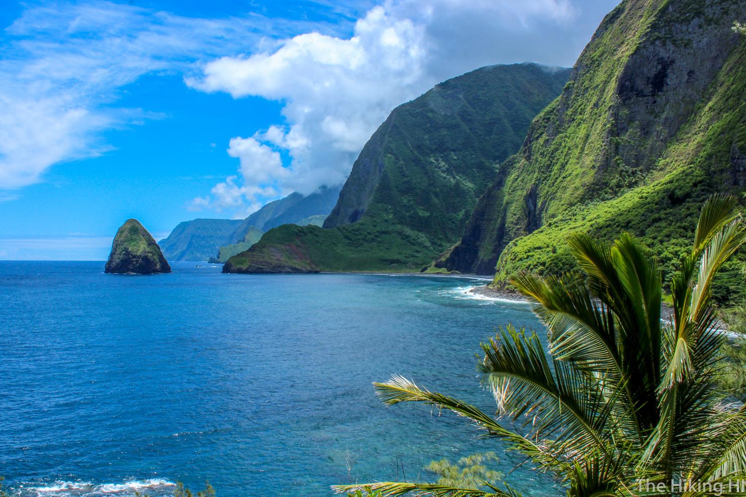
Both historic and beautiful, this trail gives you a taste of the island of Moloka'i's remote northern coast. As you descend 26 switchbacks you will get stunning views of these epic sea cliffs, among the tallest in the world, with the sound of the rough surf crashing below you. Once you are down to sea level, you will follow the secluded beach to reach Kalawao County, where you will be meeting up with other hikers and mule riders to take a guided tour of the preserved lepur colony. After the tour, it is back up all those switchbacks to get back to the start so you can continue on your Moloka'i adventure.
Moloka'i is definitely not the first of the Hawaiian islands most people choose to visit. But after having done the Big 3 (Maui, Big Island, and Kaua'i) I was ready for something a little different. I decided to make the most of my Memorial Day Weekend with a visit to "The Friendly Isle". It doesn't take much time researching that the hike to Kalaupapa National Historic Park is a must do. A 6 mile scenic coastal hike to a preserved lepur colony is a pretty hard experience to pass up!
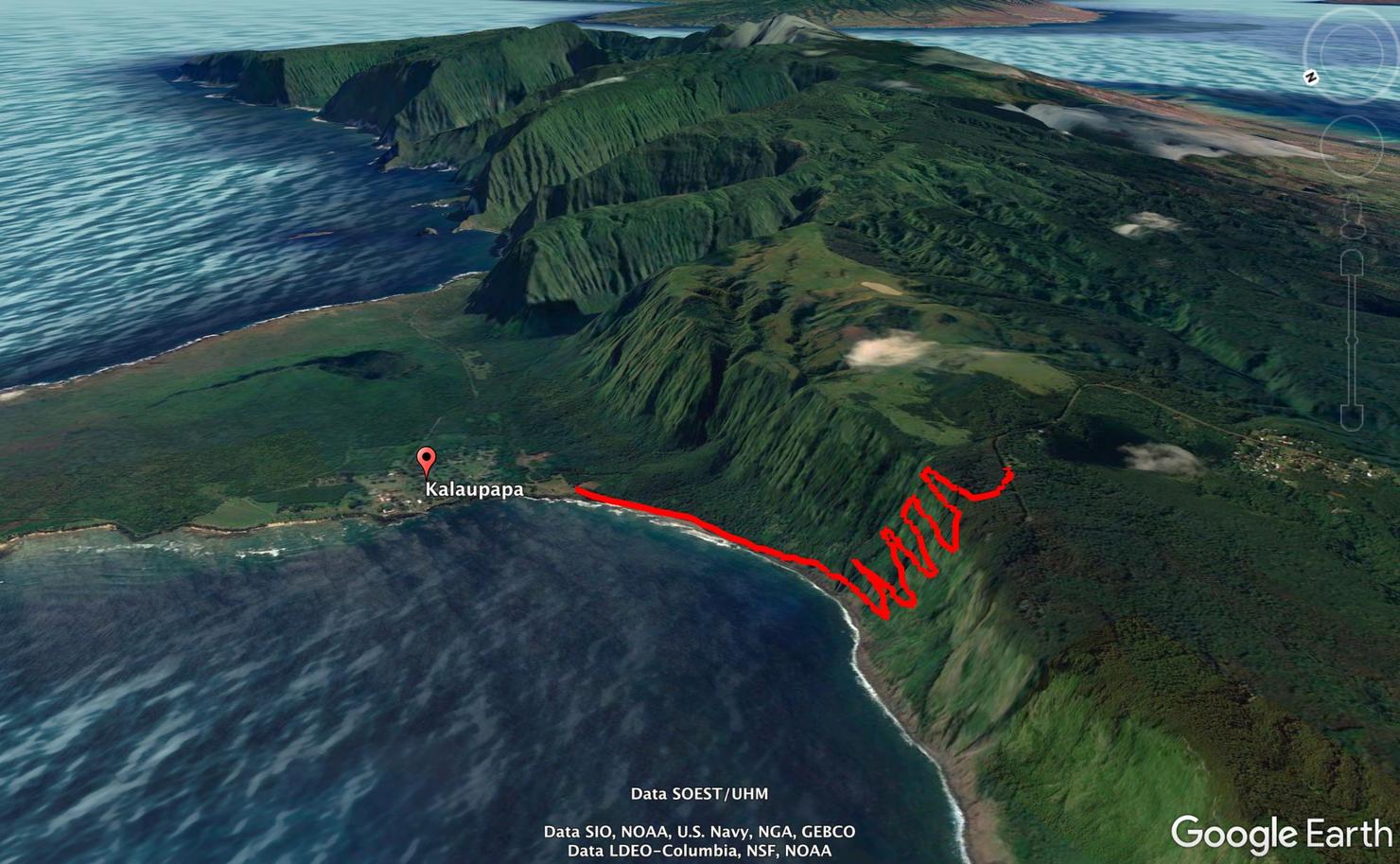
The hike is a series of switchbacks along the coast as you descend to sea level. Once at sea level, you follow a path to the beach where you meet your tour group.
The only catch is that it costs money to do this hike. You need a permit to be on the Kalaupapa Trail. The only way to get a permit is to book a tour. I booked through Father Damien Tours, the only company you can book through. It costs $100 (as of January 2021) for a permit to hike, a bagged lunch, and a tour of the colony. Not cheap, but given the history behind this place, it is worth it! Also it's a lot cheaper than the $209 price tag to ride a mule down. Just saying...
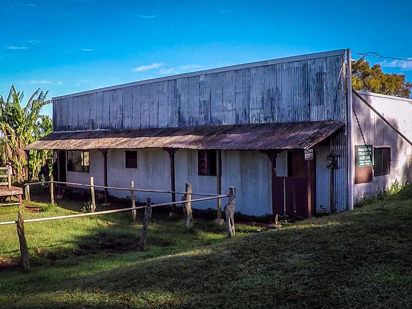
The adventure begins at the Kalaupapa Mule Barn, which is about a 15 minute drive from the Molokai airport. As long as you have a flight that lands by 7:30, you should make it here easily. With a population of seven thousand people, there's not a lot of traffic on Moloka'i (there's actually only one traffic light on the island!)
I got to the barn around 7:45 with several other people doing the tour. The woman working there asked who was hiking and about 7 of us raised our hands. She had us fill out some waivers and gave us our hiking permit. After a short brief on the directions to the trail head, we were off!
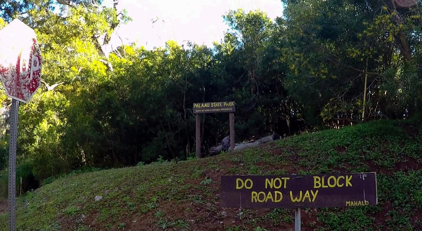
The trail head starts a couple hundred yards up the road, just before this sign.
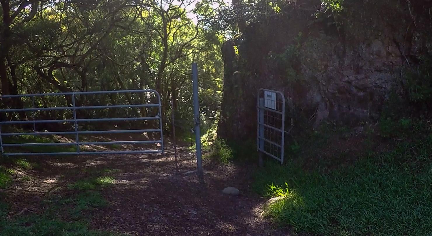
You just have to go through this little gate here. I'm guessing they open the big gate once the mules come.
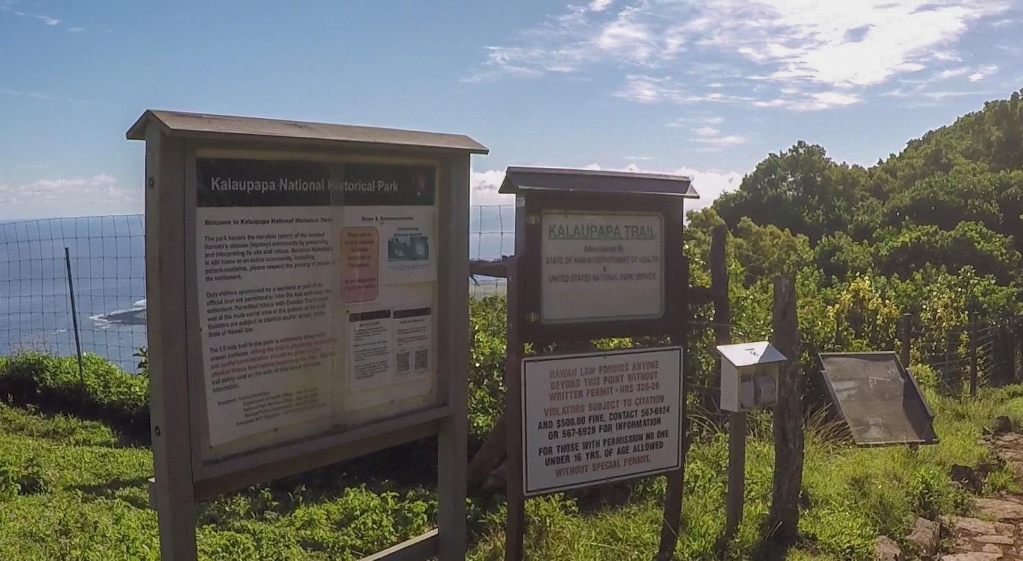
There's a short walk through the trees before you get to the actual Kalaupapa Trail. There's not much to these signs, just a little history and a warning that you will be cited $500 if you hike without a permit. We are going to actually follow the rules today!
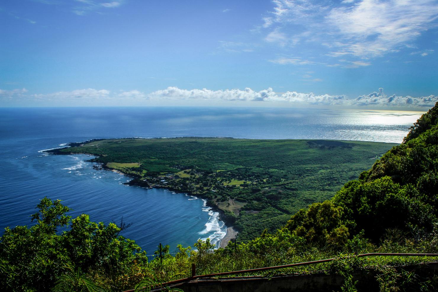
I had to double back to snag a quick photo of the peninsula. Just beyond that beach is Kalawao County where the former colony is located. The park itself spans the entire peninsula. During the tour we would get to see it in its entirety. For now, the goal was simply to make it down there.
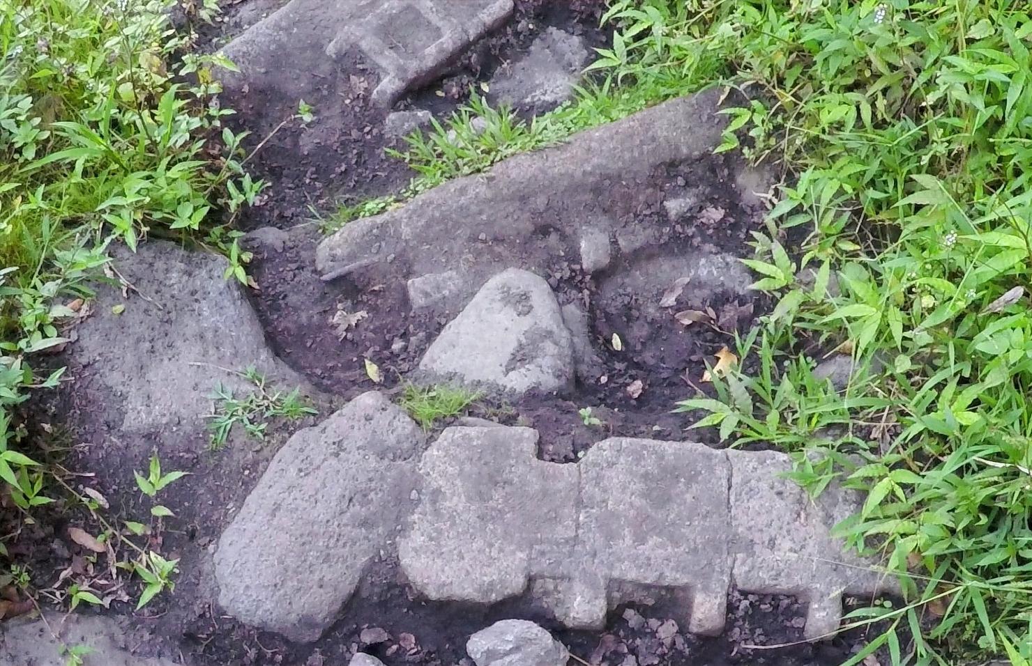
Going down really wasn't too bad. I was excited to be out hiking, so I didn't notice the steepness of the descent. It is a little tough on the knees, but with 26 switchbacks, it makes the elevation change more tolerable.The footing is not perfect, however. It's uneven and the steps can be steep. Nevertheless, I'd rather be doing this on my own two feet than relying on a mule to do it... but that's a personal preference.
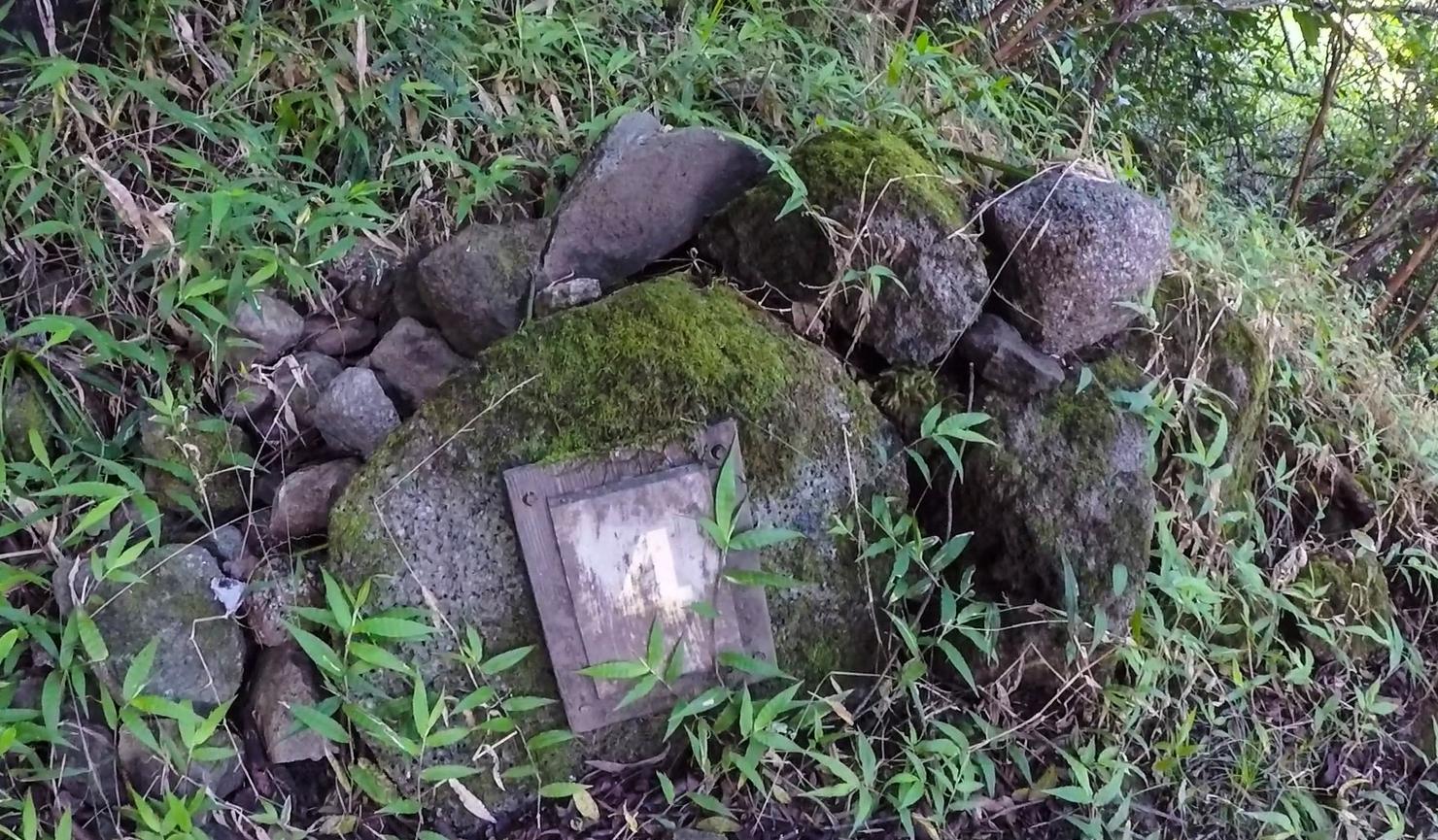
There are markers indicating which switchback you are on. I didn't pay much attention to these on the way down, but the way up was quite the different story.
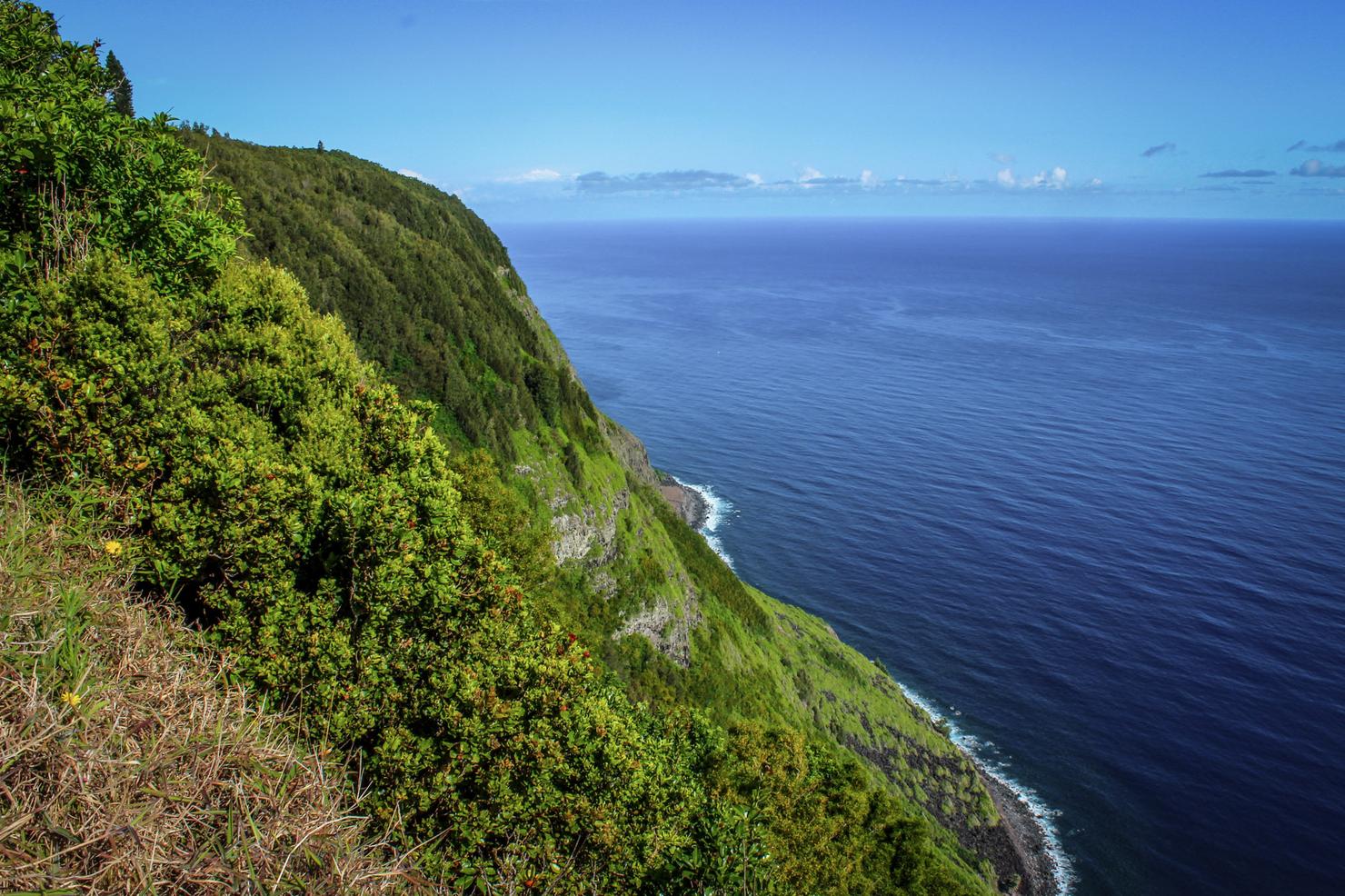
One of the many openings that allow you to see the ocean. Absolutely incredible!
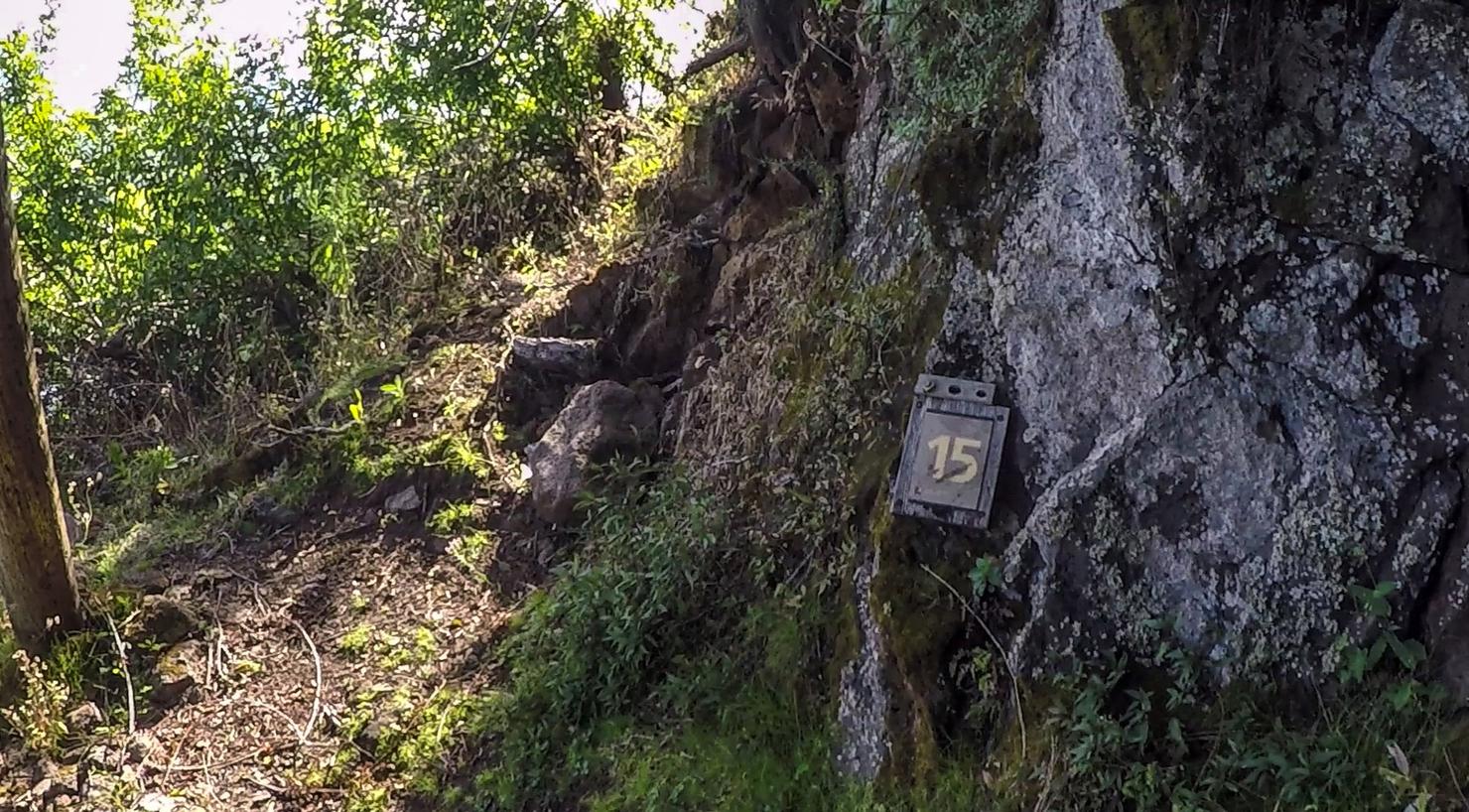
Progress!
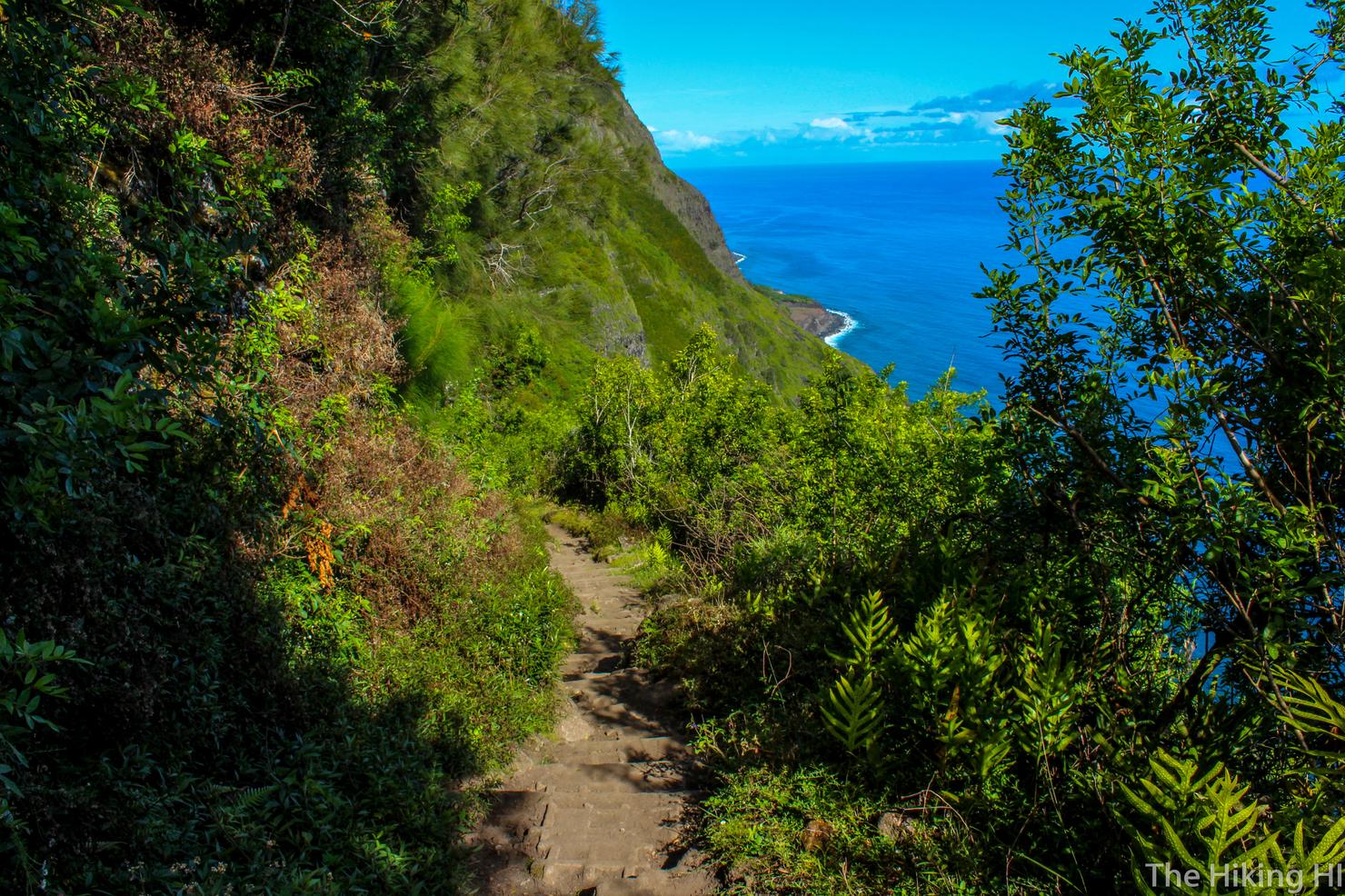
I just can't get enough of these views! It was very reminiscent of my hike on the Kalalau Trail a few months back. The bright blue water, giant sea cliffs, and the sound of the waves crashing below create a surreal experience. Moments like these are the reason I hike.
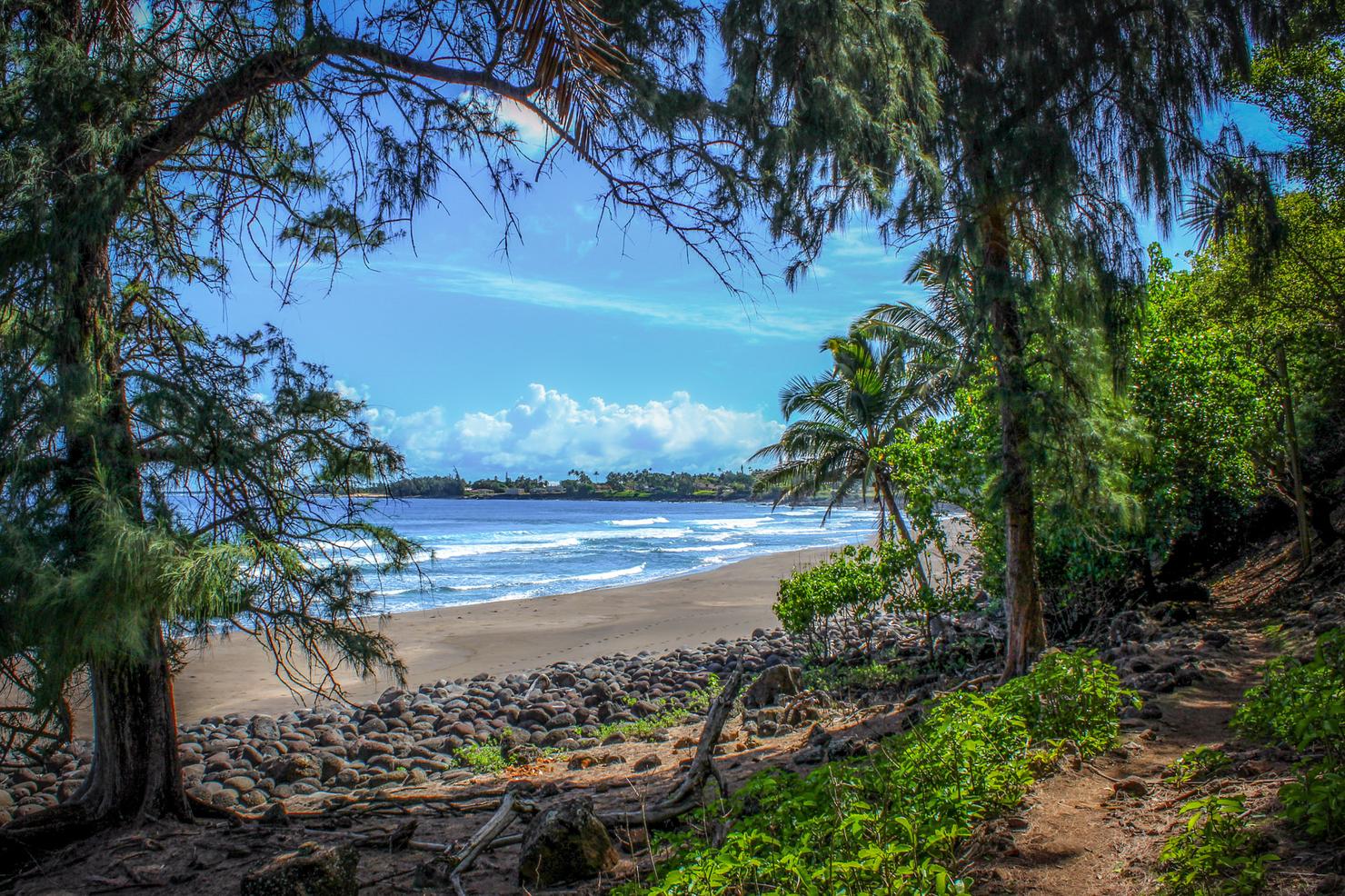
After finishing the switchbacks and a few minutes hiking parallel to the shoreline, you arrive at this beautiful beach. This will be your companion as you make your way to Kalawao County.
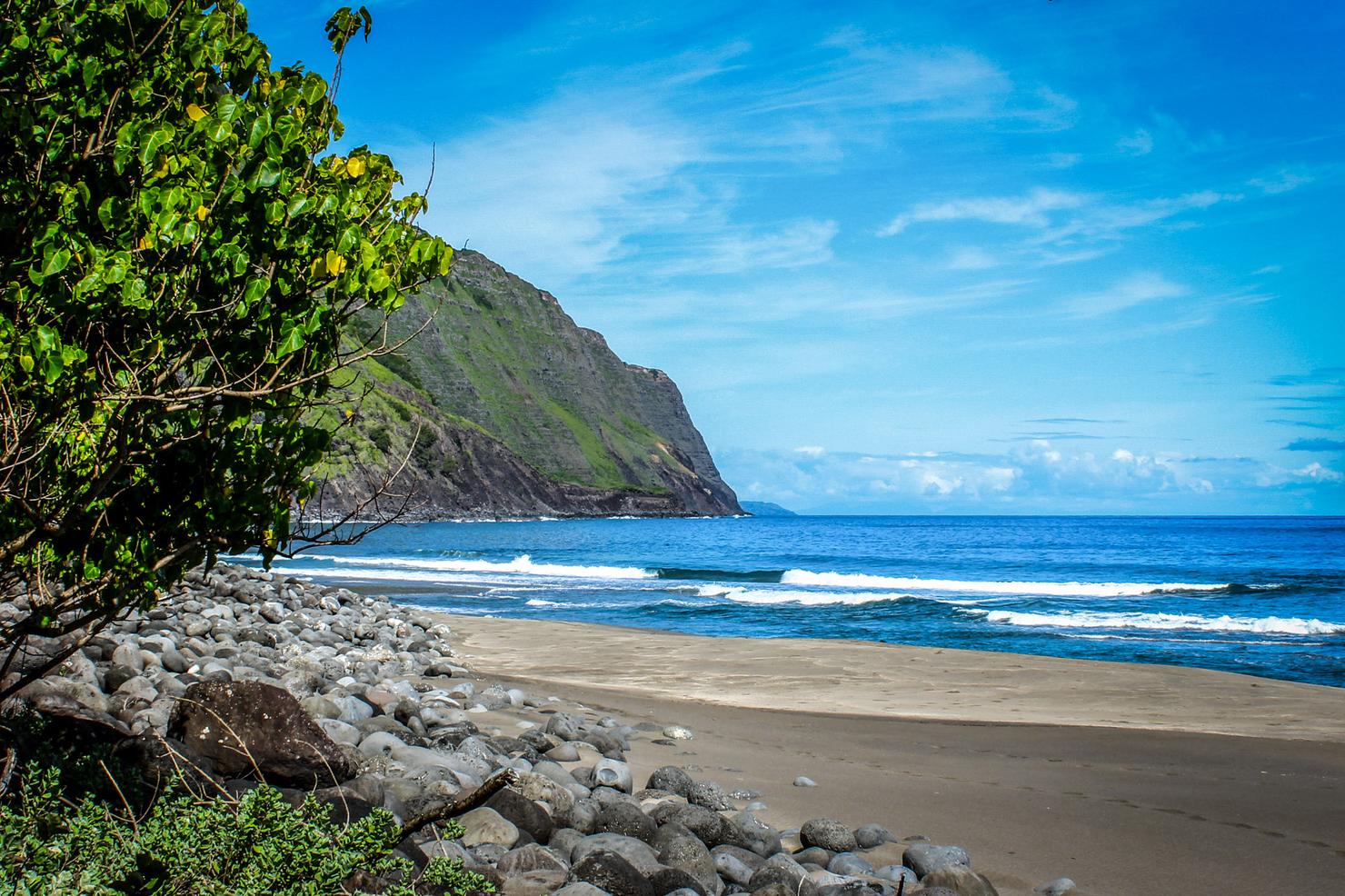
We were instructed before we started hiking not to venture onto the beach. I did listen to these instructions... but that doesn't mean you can't stop for a few pictures. So beautiful, so secluded.
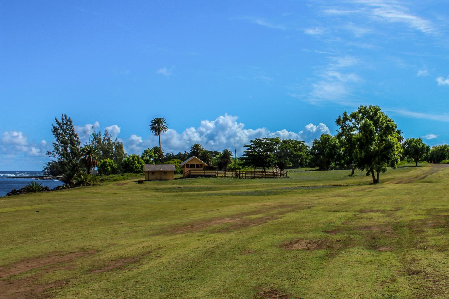
Shortly after the sign indicated you've entered Kalawao County, you will end up in this field. Off to the right are some bleachers where you will meet up with your tour guide, other hikers, and the mule riders. Well, more likely the mule riders will meet up with you. It was about 40 minutes before they showed. Even hiking down at a slow pace and taking pictures, you will probably get here first. Going back up on the other hand... well let's just say I'd expect to be avoiding some fresh land mines if you know what I mean.
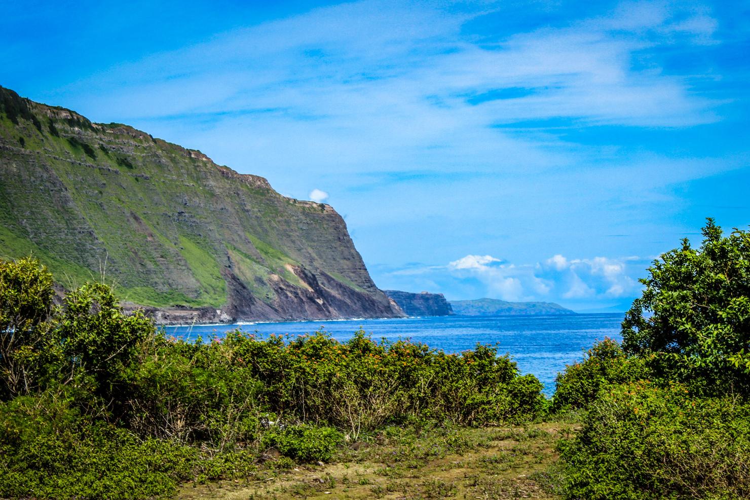
Of course as you wait, there's no reason you can't snag some more photos.
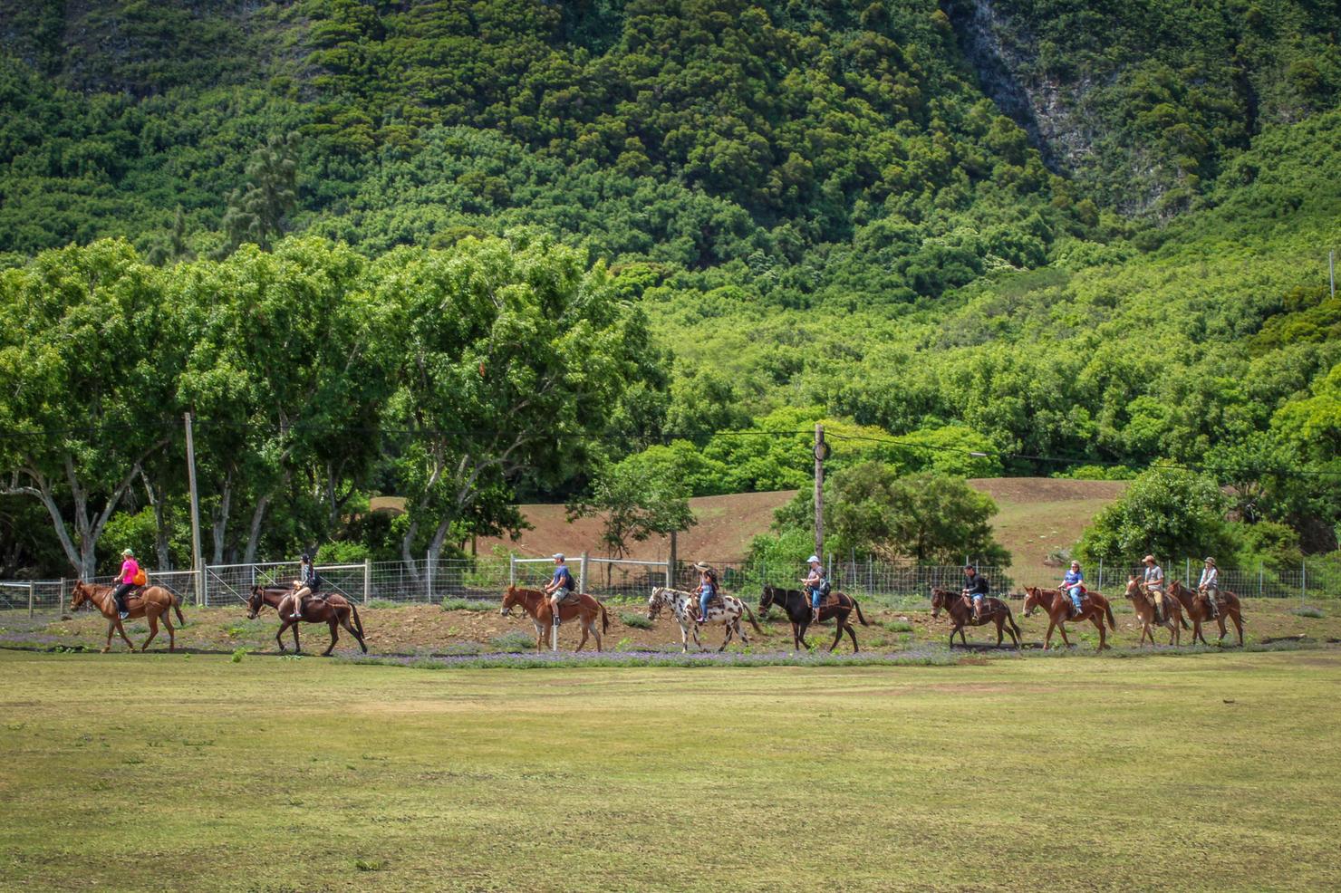
About damn time!
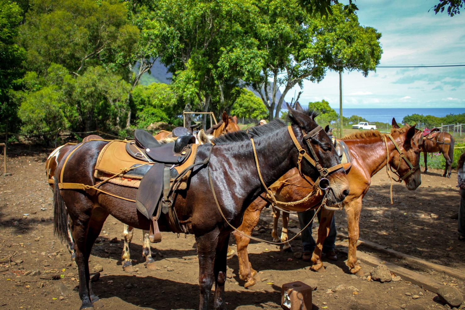
I still prefer hiking, but these guys were rather cute. From here, you will board a bus and begin your tour of Kalaupapa. I decided not to include any photos of Kalaupapa, it is something you simply have to experience yourself. People say this place has a mystical aura about it. I think if you venture here, you will know what they mean.
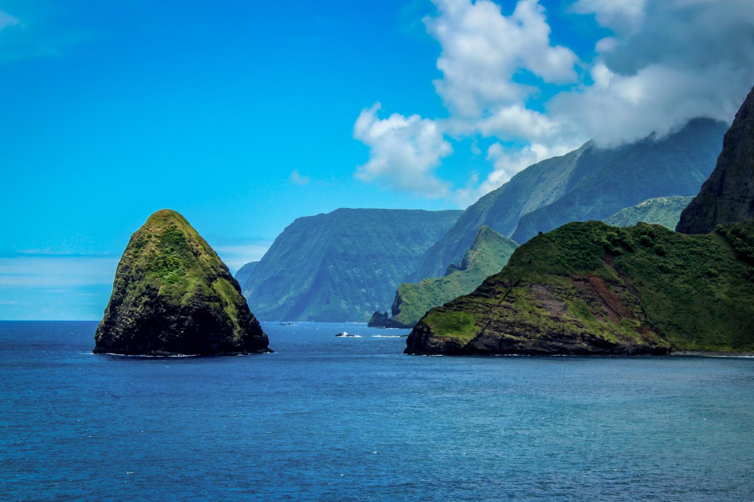
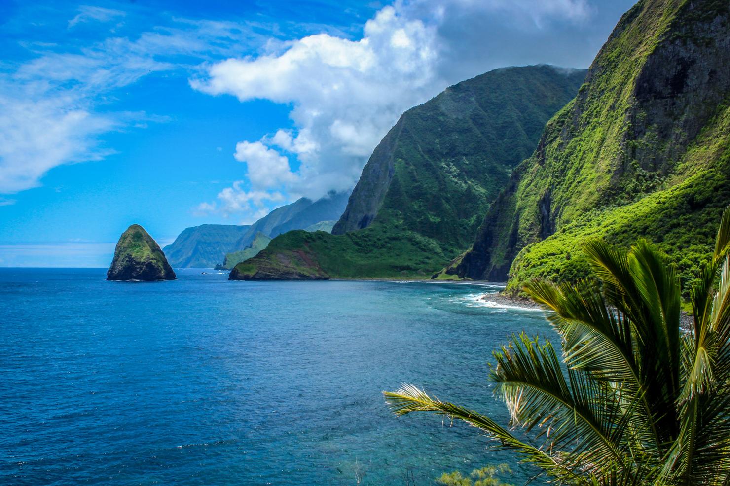
I will include this shot, the most scenic part of this adventure. This picture is taken on the northern end of the peninsula, a place you will visit during your tour. These are some of the largest sea cliffs in the world. Pretty incredible for a little, relatively unknown place like Moloka'i.

What an adventure it had been. I'd hiked 3 miles, seen some views of the world's largest sea cliffs, and experienced the magic and history of Kalaupapa. Now for the hike back up that mountain...
Check out my video of this beautiful hike!
Have you ventured to the historic Kalaupapa? Share your story below!
