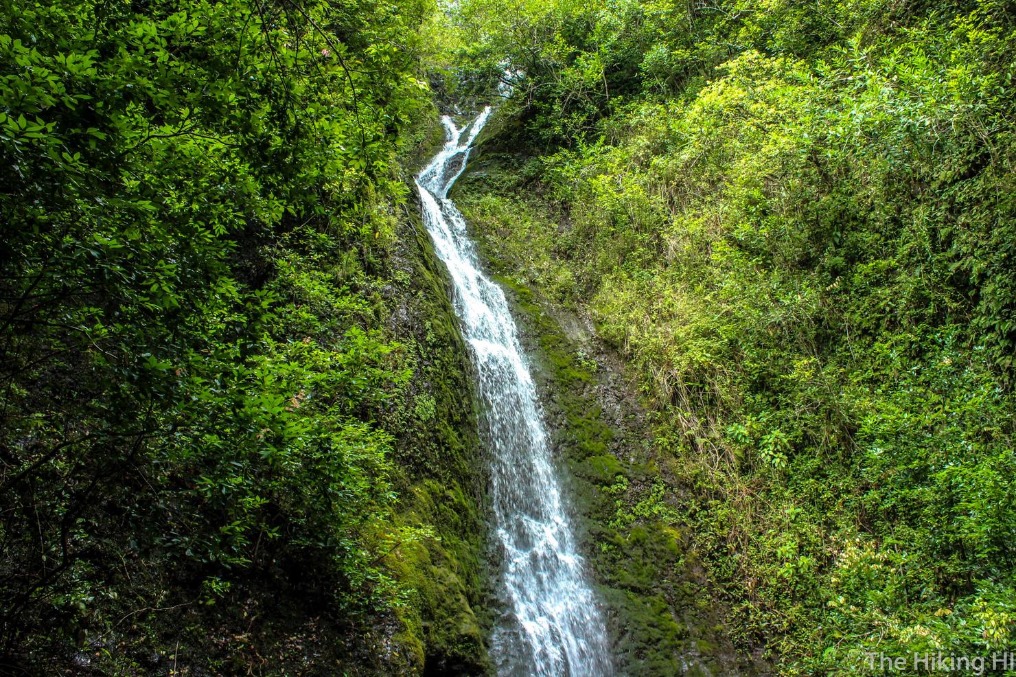
Difficulty: BEGINNER
Time: 1.5-2 HOURS
Distance: 2 MILES
Elevation Gain: 300 FEET
Foot Traffic: HIGH
Challenges: Muddy, River Crossings, Fallen Trees
Sights: Lulumahu Falls, Nu'uanu Reservoir, Ko'olau Mountain Range
What to Bring: Shoes you can get muddy, Water
This short and popular waterfall hike is located in the center of the island, just off the Pali Highway. The first leg of the hike takes you through a beautiful bamboo forest before you arrive at a dirt road along the Nu'uanu Reservoir. While you stroll along this road you will get a view of the surrounding green forests, the magnificent Ko'olau Mountain Range, and the pleasant reservoir itself. You will then enter the forest to follow a path along the river that stems from the falls. You will be forced to cross this river a few times, as well as climb over/duck under some trees, but it will all be worth it when you reach the beautiful Lulumahu Falls. Not the most challenging of hikes, but beautiful nonetheless.
My friend Danielle, who recently moved to the island, has been attempting to get her feet wet (sometimes literally) with the Hawaii hiking game. She's been asking me to be her guide because for some reason she thinks I like to hike (not sure what gave her that idea). So when she mentioned she and her friend Bea were interested in doing Lulumahu Falls, a hike I had not yet done, I was all for being their guide.
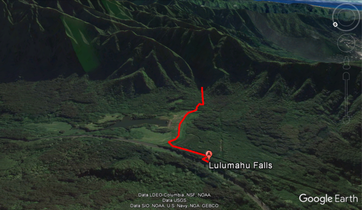
Here's a Google Earth image of the hike. Nothing crazy to it, just a walk into the woods to find a waterfall. There's a few places you could make a wrong(ish) turn in the beginning, but this post should help you out.
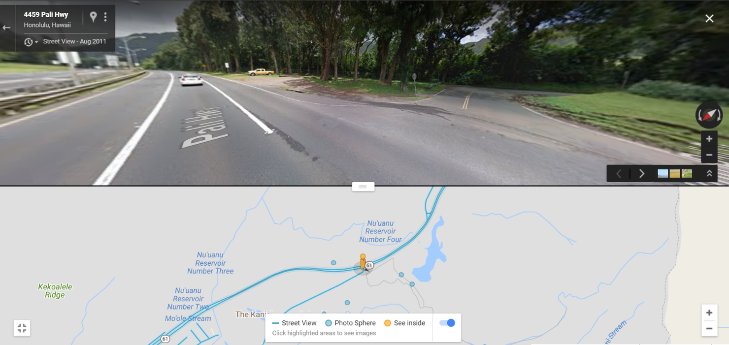
There's a large dirt lot right next to Nuuanu Pali Drive, the road that comes off the Pali. It can get full because this hike is popular, so there's a chance you might have to park on Nuuanu Pali Dr.
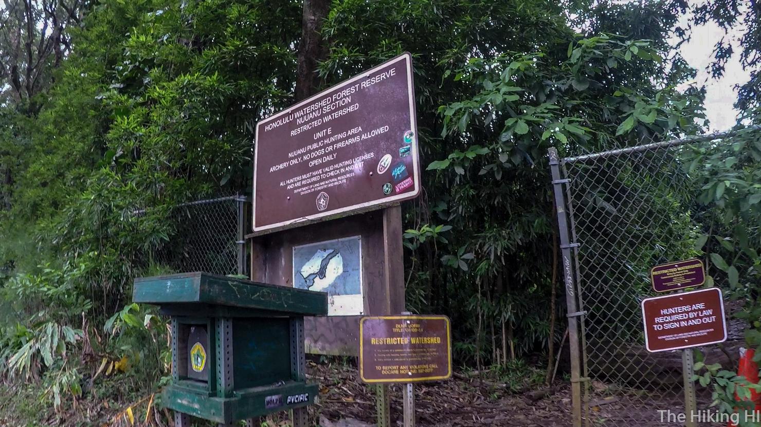
Enter the trailhead here in this gap in the fence.
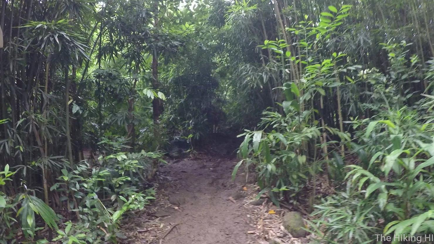
You will very quickly come to a fork in the road. Your instinct will tell you to go left since it appears to be the more open path. Your instinct would be right in the sense that this is the most direct path to the second leg of this hike (the road along Nu'uanu Reservoir).
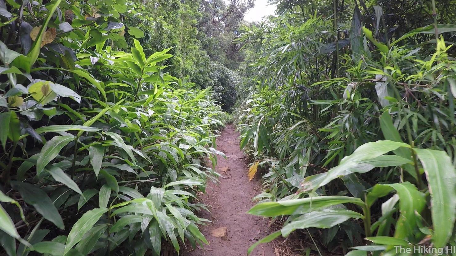
You will then walk through a slightly muddy and forested trail.
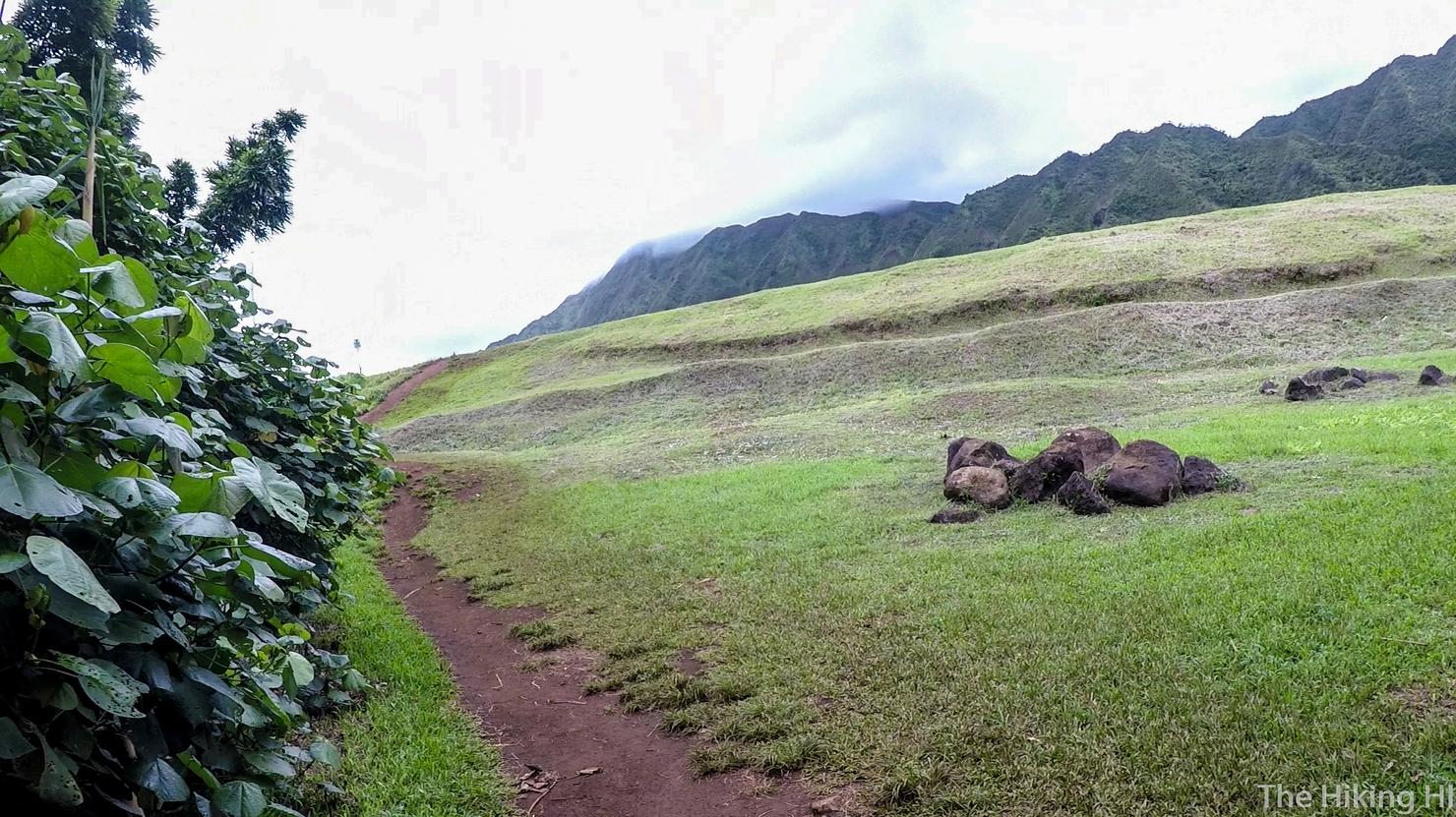
And you will soon exit the woods to this clearing with a beautiful view of the Ko'olaus. That path that goes up the hill intersects with the road along the Nu'uanu Reservoir.
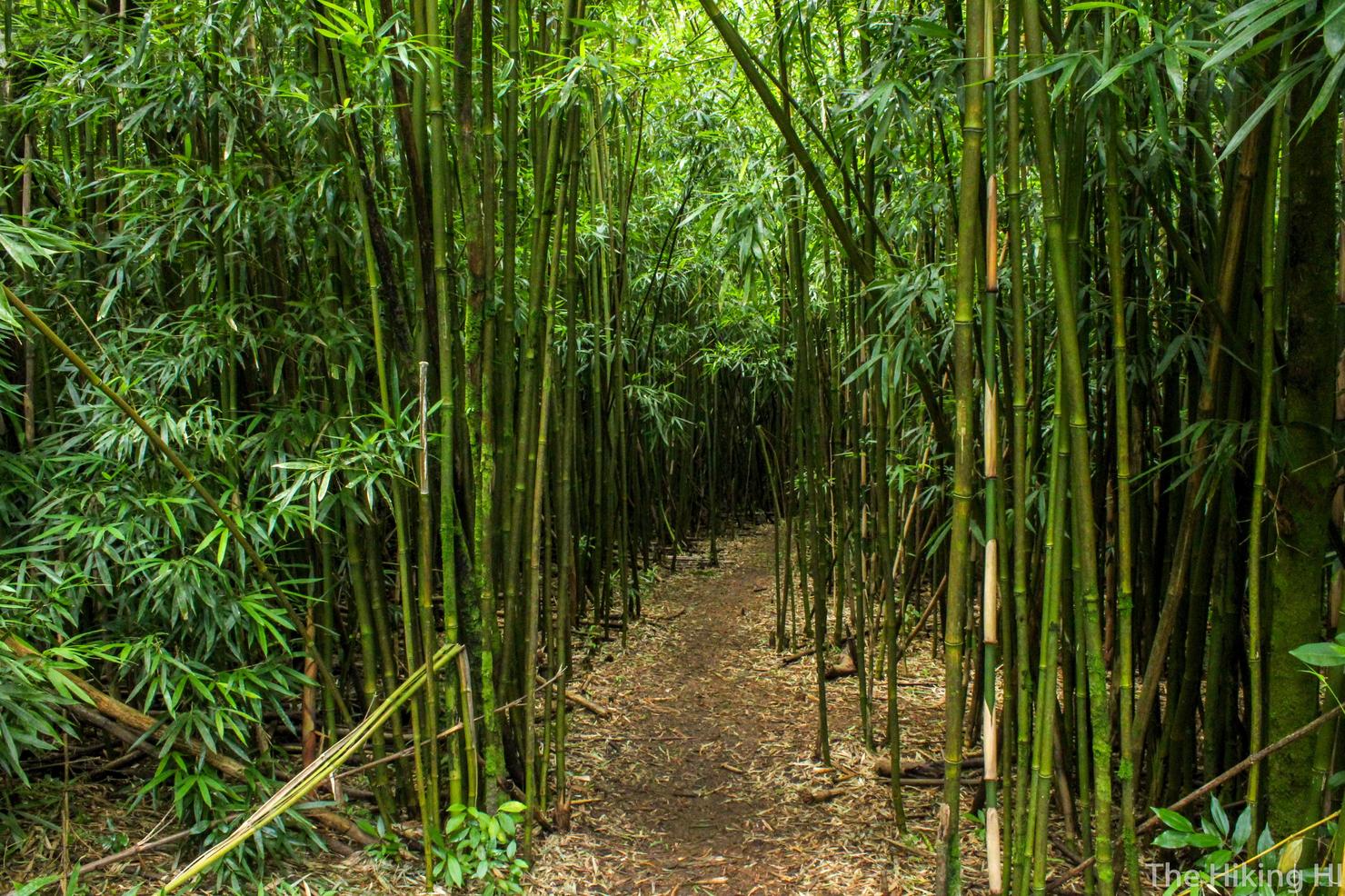
However, had you gone straight, you would have been led to this beautiful bamboo forest! This path is more confusing, but geographically, as long as you eventually head left (with respect to the fence you entered) you will reach that clearing. You can actually barely make out that bamboo forest path in the Google Earth Image above.
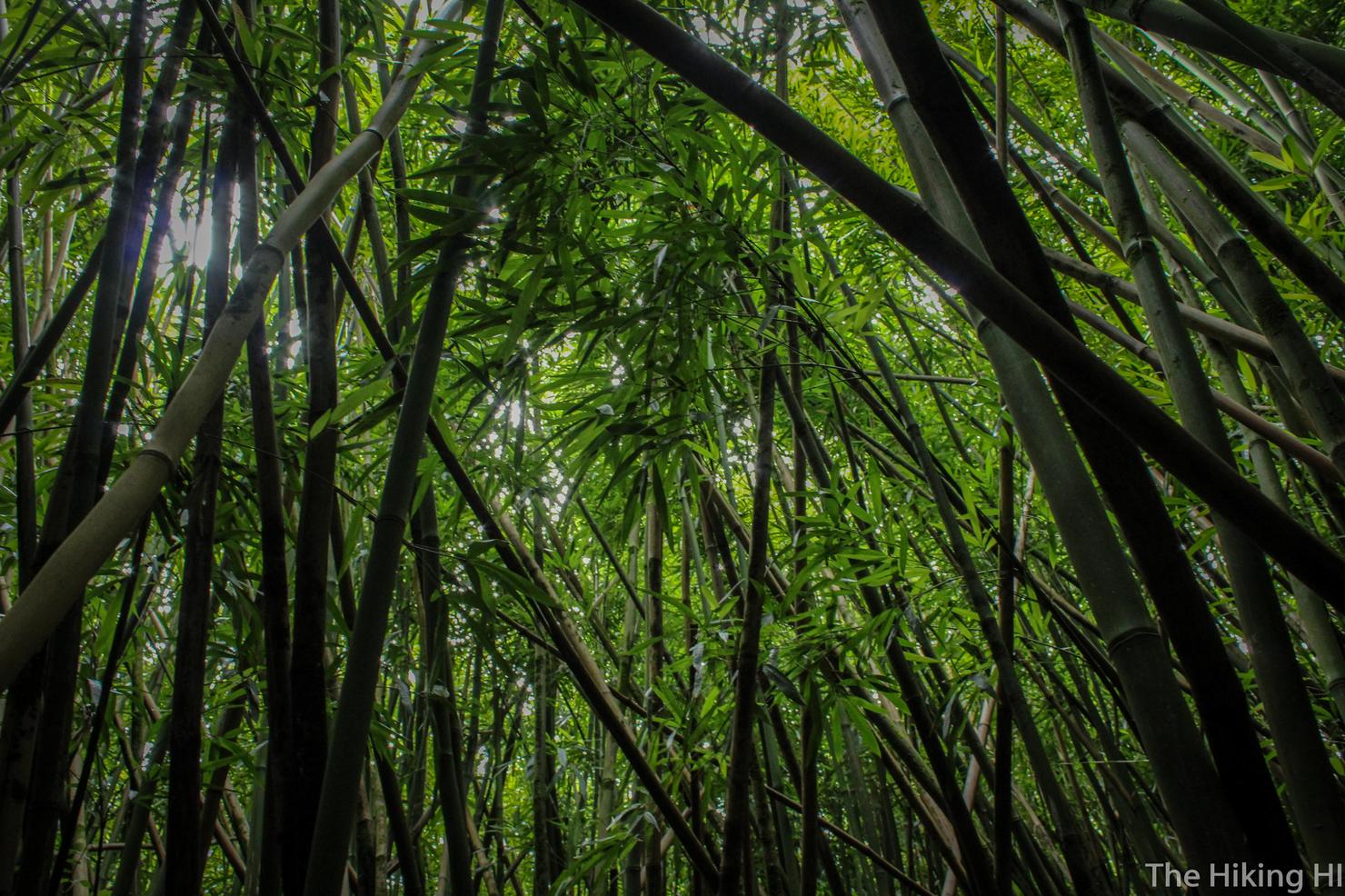
Besides, even if you do end up walking in circles (this may have happened to us) isn't it worth it to be walking among these massive bamboo stalks? I think so.
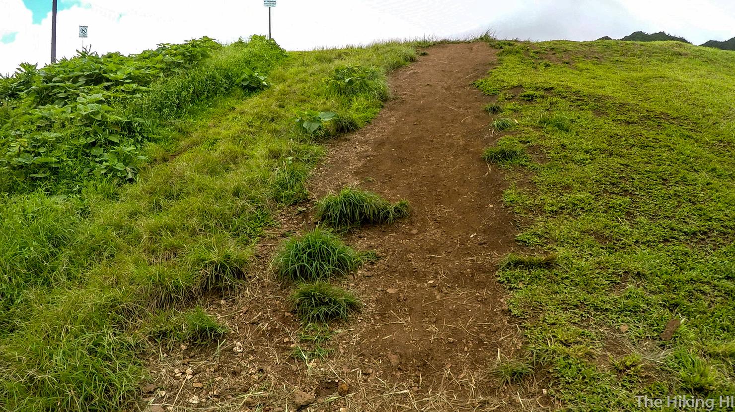
Anyway, let's continue up this hill shall we?
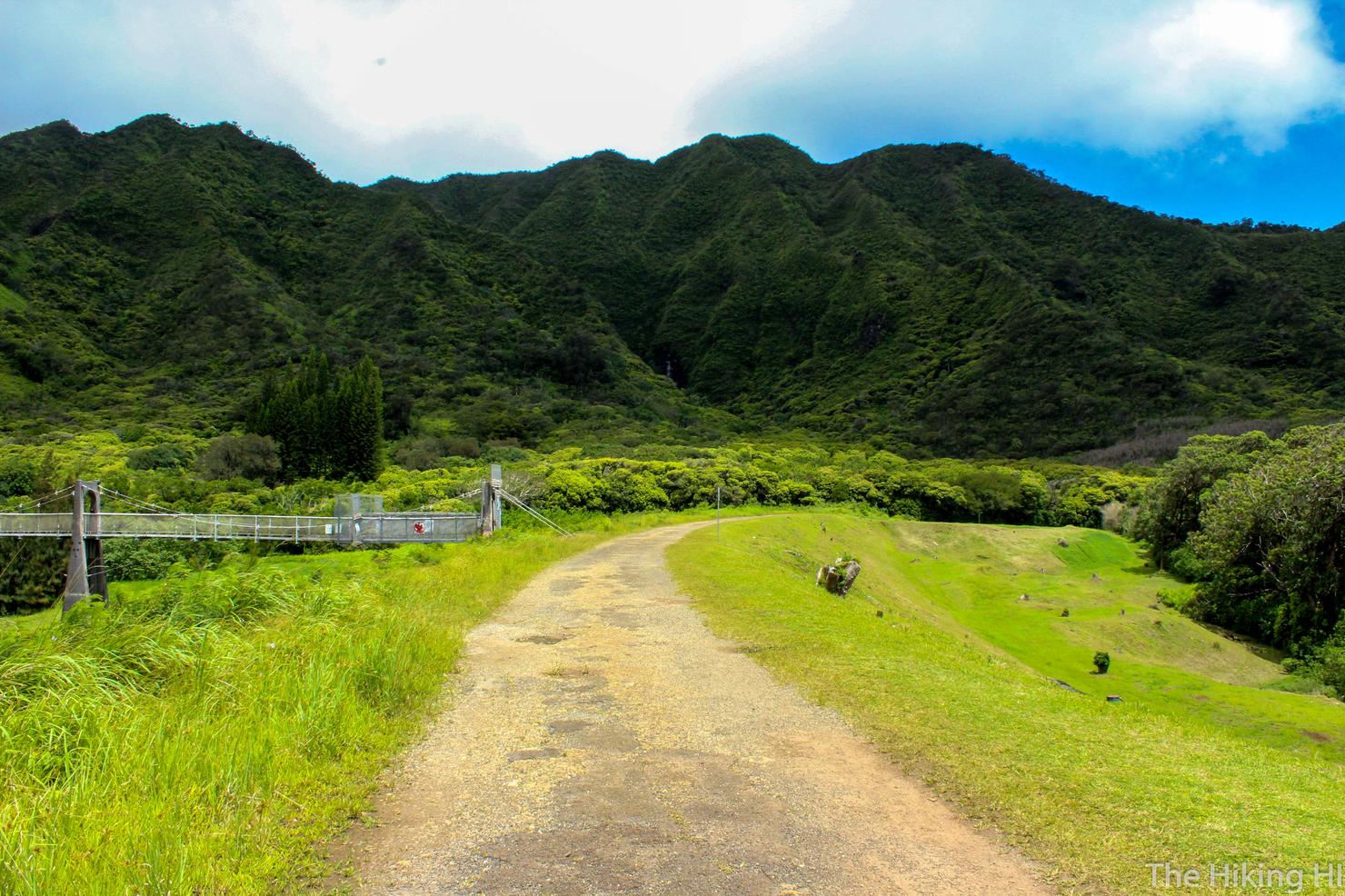
Here we are on the trail along the Nu'uanu Reservoir Road. You will be following the road towards that ridge.
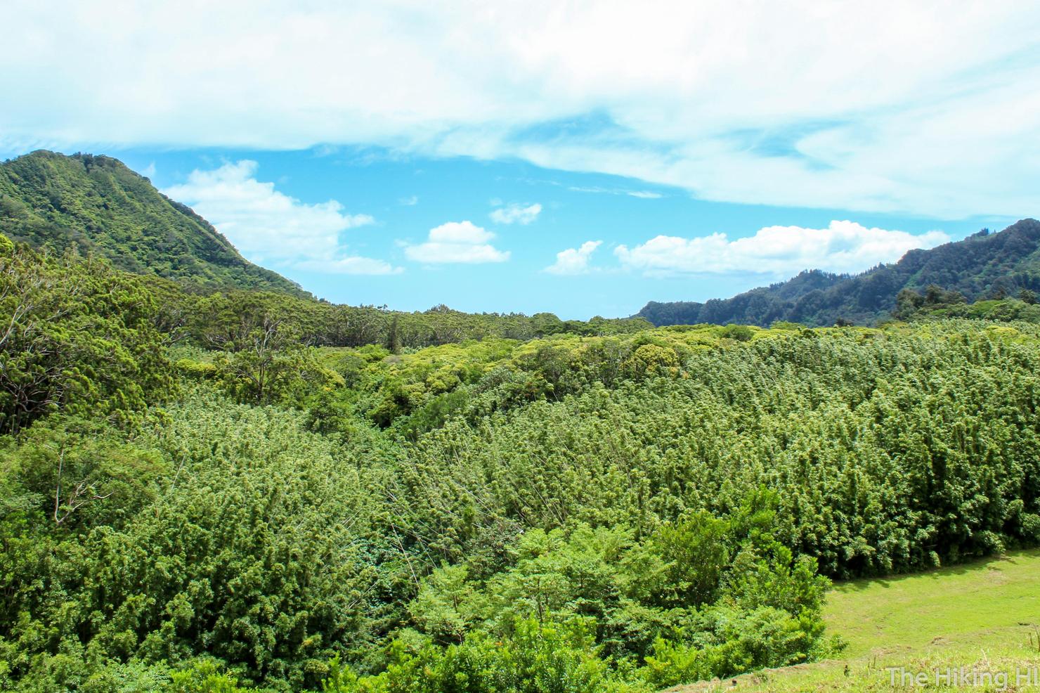
Looking right, you will get a glimpse of this lush green valley, lined by Ko'olau ridges.
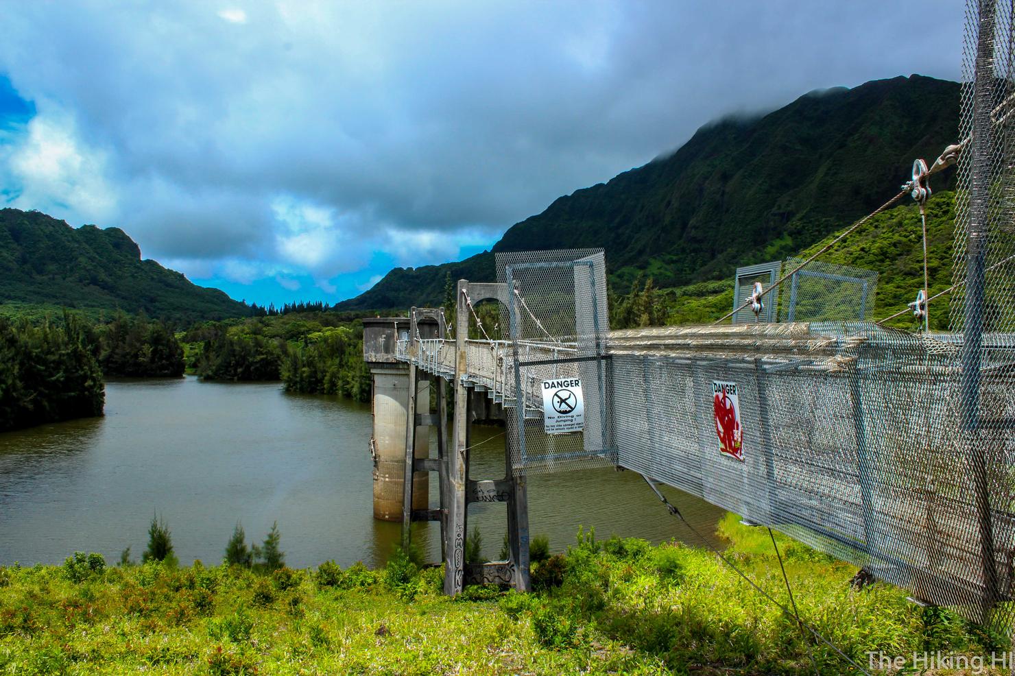
And looking left you will get a view of the pleasant Nu'uanu Reservoir. That there tower is about 60 feet high and the adrenaline junkies of the island like to take a leap from it into the reservoir. I thought about doing it, but getting over that barbed wire fence looked quite tricky. Maybe next time. There's an awesome YouTube video of people jumping from this tower on one of my favorite channels --devinsupertramp (FYI he got his start here on Oahu).
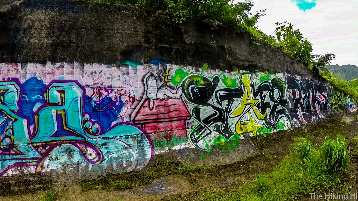
Once the road turns left, you will see this wall covered in art.
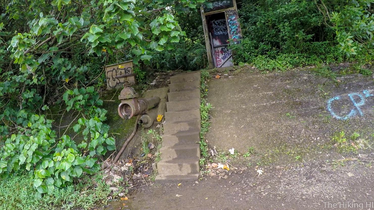
Just opposite this wall is a small set of stairs. Go this way for the next leg of the hike.
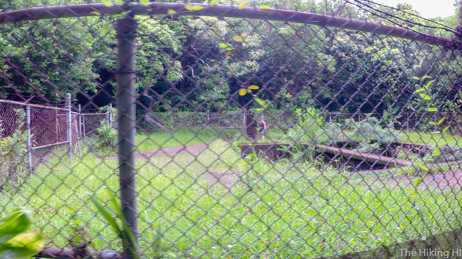
You will quickly arrive at this square fenced in area. Danielle figured out the right path. It's on the opposite side of the fence. You can either go around the fence or walk right through the enclosed area, you choose!
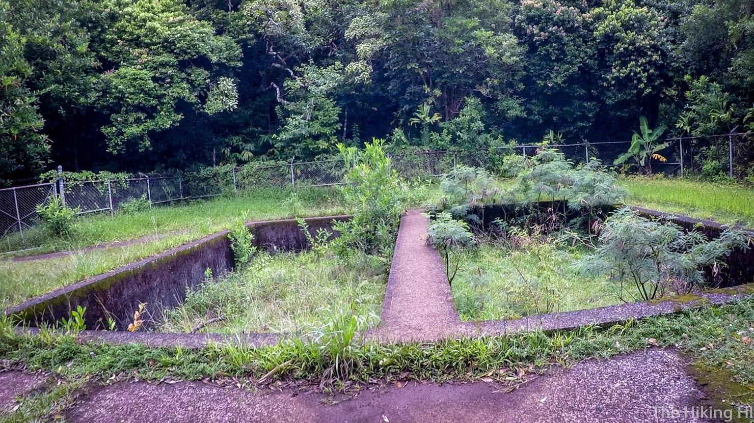
Bea and I followed Danielle and went straight through the fenced in area over this little platform. I can only assume this structure has something to do with the reservoir.
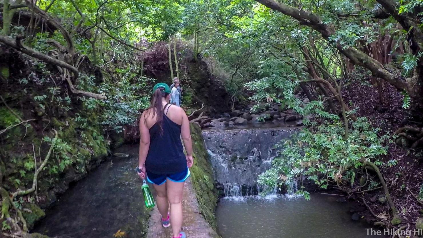
Shortly after, we came to this little water collection area. This is when the hike gets slightly more difficult. You basically follow the paths adjacent to the stream all the way to the waterfall. There are some markers, but it's probably easiest to choose the path of least resistance.
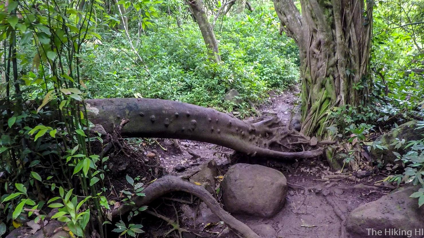
Of course least resistance, does not mean no resistance. We had to climb over some fallen trees...
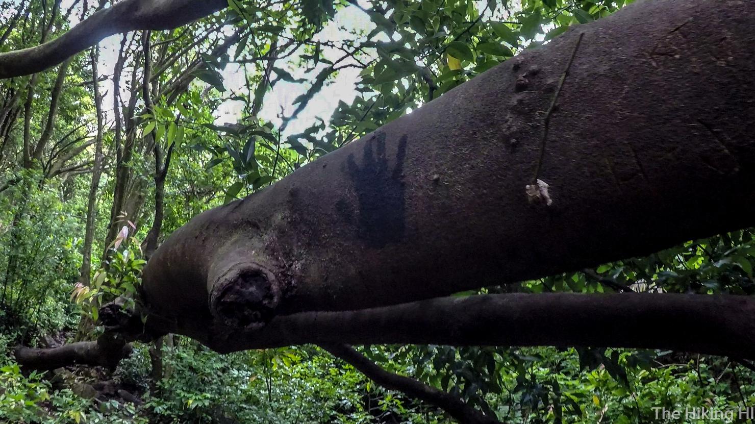
And under some others...
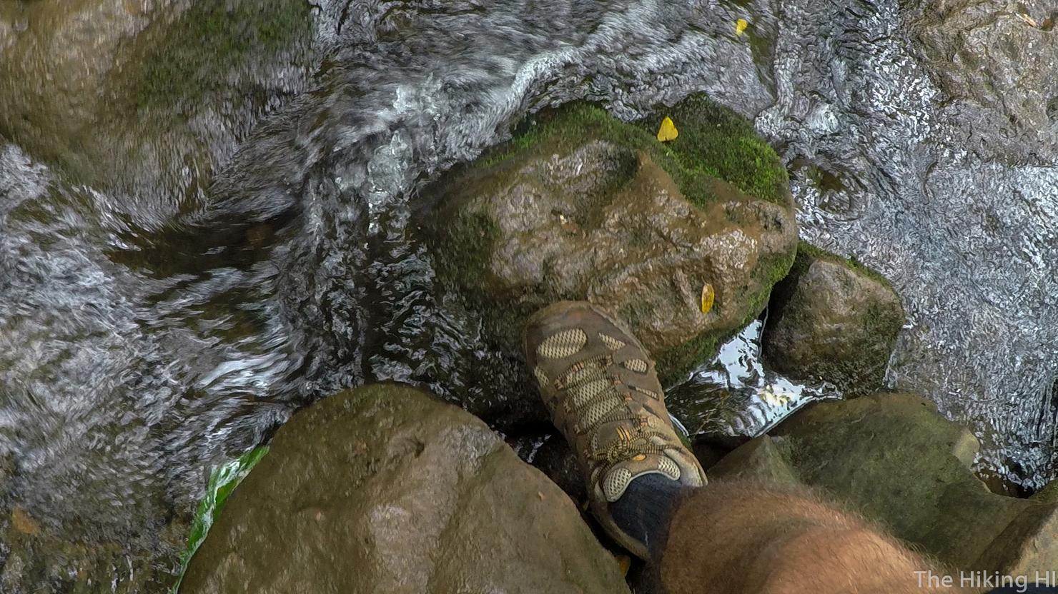
And cross the river a few times...
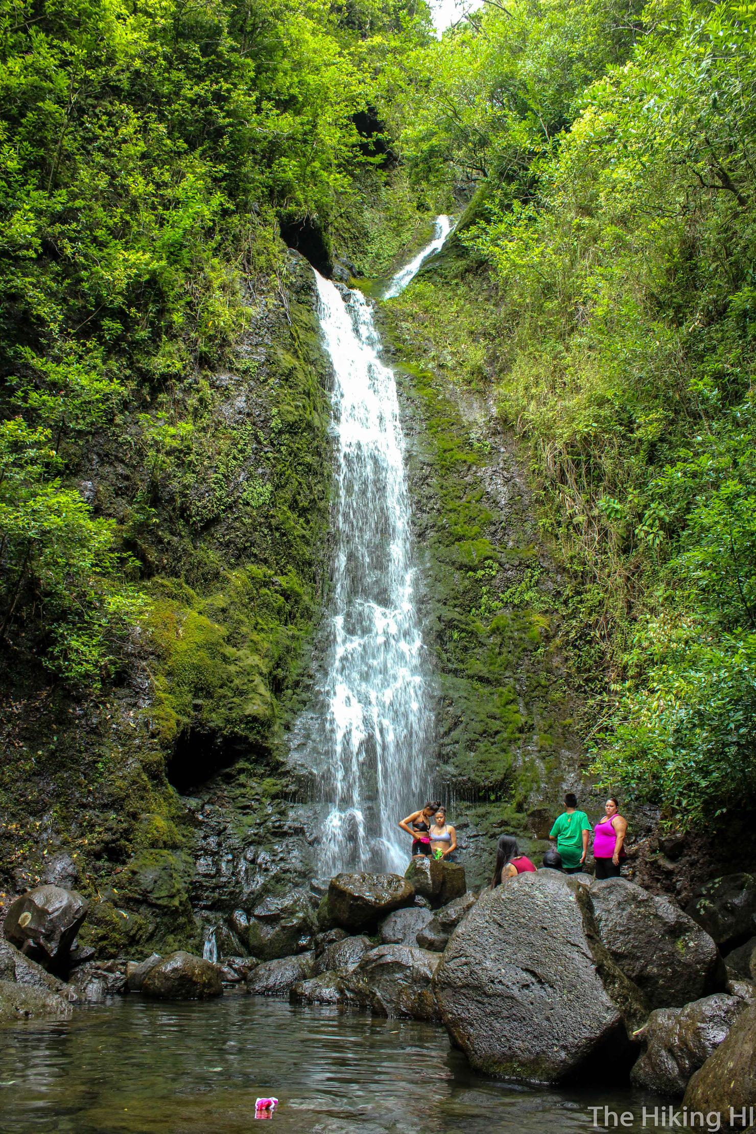
But before long, we had made it, Lulumahu Falls. I had no idea how popular this hike was, but there had to have been 20-30 people hanging around the base, taking in the beauty of the falls.
I had to get in closer to get a picture without the people. I love that you are able to see pretty far up the falls, far enough you can see where the two streams become one.
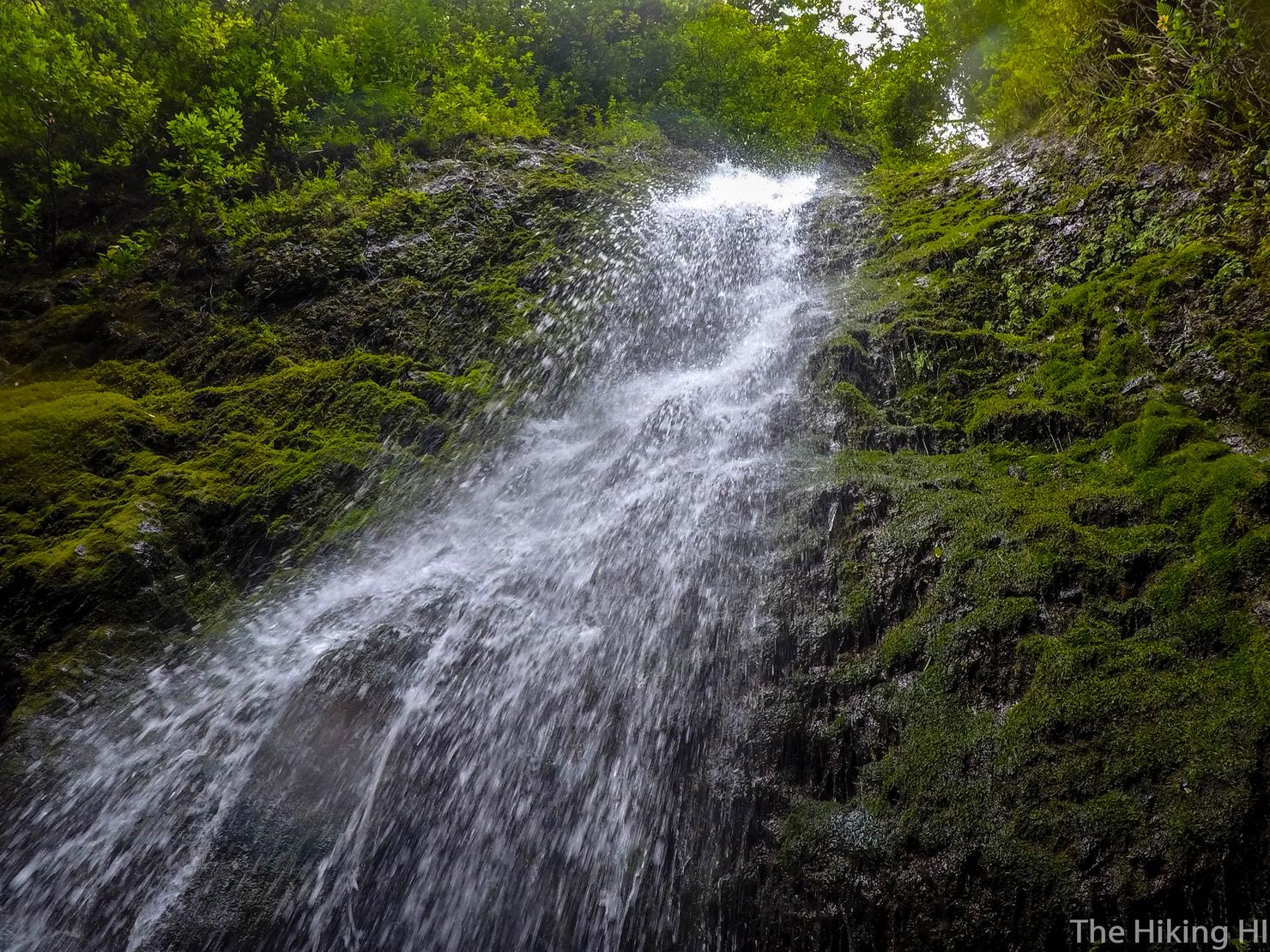
And of course a close up shot.
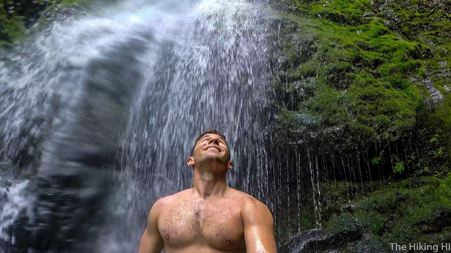
And a new type of shot, a shirtless selfie! I doubt this will become routine, but sometimes you just gotta embrace the moment and do what your body feels is right. Today, that meant this photo. Tomorrow... who knows. In a beautiful place like this, the concerns of what other people think are the last thing on my mind. Wet but refreshed, it was time to trek back to continue another amazing Saturday in paradise.
Check out my video of this pleasant hike!
